
Mapping the karst topography, limestone rock formations, and cave systems of the Prądnik valley.
Comprehensive Atlas of Named Natural Features Found Within Ojców National Park, Poland
This collection catalogs the diverse natural features associated with the unique karst topography of Ojców National Park. Explore the spatial distribution of dramatic limestone cliffs, deep ravines, and significant cave systems that define the Jurassic bedrock terrain. The indexed features illustrate the geological complexity of the river valleys and upland surfaces, providing detailed context on the landforms located within and near the protected boundaries of this region.
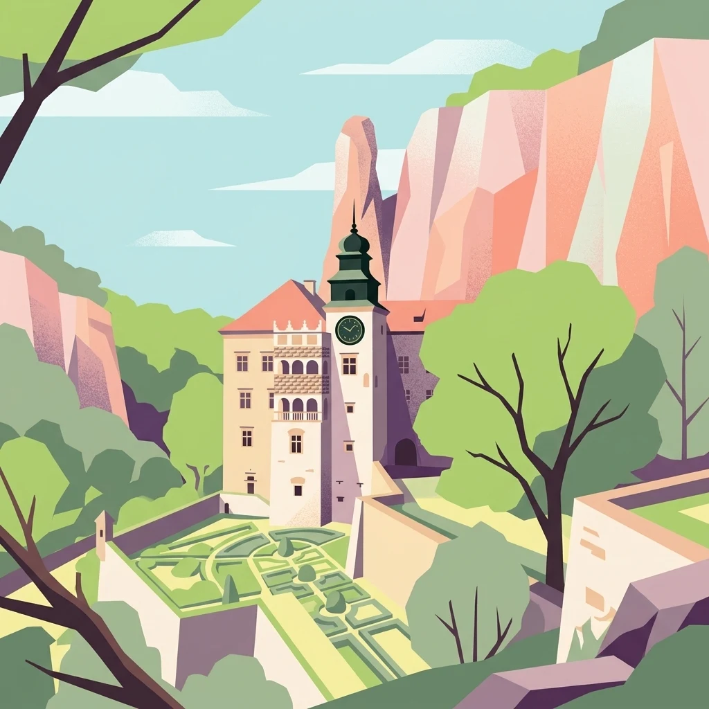
Navigating the distinct valleys, limestone towers, and cavern systems of the Olkuska Upland
Named Natural Features and Karst Landforms of Ojców National Park
Geographic atlas of protected limestone surface voids.
Cave entrances
Discover the network of mapped cave entrance sites distributed across the limestone plateaus and river gorges of Ojców National Park. This reference provides geographic context for identifying surface-to-subsurface transition points shaped by historic dissolution and weathering in the Jurassic bedrock.
Mapped limestone landmarks and karst geography
Rock formations
Discover the catalog of named rock formations within Ojców National Park. From solitary towers to complex limestone outcrops, explore how these individual geographic entities define the erosion-carved terrain of the Kraków-Częstochowa Upland and characterize the park's distinctive karst profile.
Analysis of channels within the karst terrain
Streams
Navigate the network of streams found throughout Ojców National Park in Poland. This resource offers a structured look at the flowing watercourses that cut through deep limestone gorges, providing essential context for the park's unique karst topography and hydrological landscape.
Mapped exposures in the Kraków-Częstochowa Upland
Cliffs
This index provides a structured examination of the limestone cliff faces found throughout Ojców National Park. Analyze how these vertical geological features intersect the Prądnik and Sąspówka river valleys and the surrounding upland plateaus, offering a comprehensive view of the park's characteristic karst terrain.
Mapping summit points across the Jurassic karst landscape.
Peaks
Explore the named summits and high points that define the rugged terrain of Ojców National Park. These features provide a structured look at the geomorphology of the limestone plateau, river gorges, and the surrounding upland surface, allowing for a better understanding of the park's unique physical characteristics.
Mapping surface water emergence in karst terrain
Natural springs
Springs act as vital intersections between underground aquifers and the rugged surface of Ojców National Park. These natural outlets emerge from porous limestone fractures to support river valleys and wetland systems. Understanding their distribution helps interpret the formation of dramatic ravines and cliff systems within this protected Polish landscape.
Continue Atlas Exploration of Ojców National Park's Karst Terrain
Discover the detailed geographic context and mapped protected area features of Ojców National Park. Understand its place within the natural atlas and how its unique karst landscape contributes to the regional geography of Lesser Poland Voivodeship. Continue your exploration of this significant protected natural site through structured park data and map-based discovery.