
A comprehensive index of tidal channels, coastal wetlands, and engineered landmarks.
Documented Natural Features and Geographic Landscapes of Oosterschelde National Park
The natural features of Oosterschelde National Park define the dynamic marine character of this expansive tidal lagoon system. This collection tracks the interconnected geography of mudflats, sandbanks, and shallow water channels that shift with the tides, alongside the diked islands and historical engineering works that shape the surrounding environment. Explore the diverse terrestrial and marine formations that collectively define this significant protected area in the Netherlands.
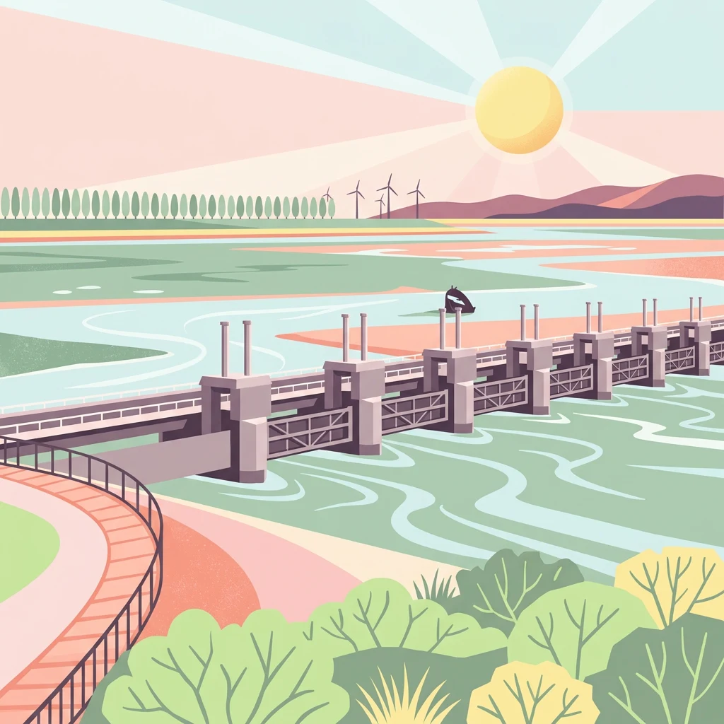
Charting the complex salt marshes, tidal channels, and sandbanks of the Zeeland delta
Named Natural Features and Tidal Waterways of Oosterschelde National Park
Coastal projections within the tidal marine ecosystem
Peninsulas
Review the specific peninsula landforms associated with Oosterschelde National Park. This structured geographic reference outlines how these coastal projections intersect with the park's tidal flats and lagoon boundaries, offering a clear view of the complex land-water configuration defining this unique conservation landscape.
Geographic assessment of park-associated islands.
Islands
Examine the islands identified within the tidal scope of Oosterschelde National Park. This geographic guide maps the distinct land features surrounding the Eastern Scheldt, focusing on their placement within the complex lagoon system, their proximity to tidal dikes, and their formation as integral parts of the Dutch coastal landscape.
Geography and landscape context of inland water bodies
Lakes
A structured look at inland water bodies and lake features associated with the tidal marine environment of Oosterschelde National Park. Review the geographic placement and characteristics of these basins within the wider Zeeland landscape, providing a clearer understanding of how inland water interacts with the surrounding deltaic system.
Continue Your Geographic Exploration of Oosterschelde National Park and Zeeland
Broaden your understanding of Oosterschelde National Park by exploring its detailed geographic context within the Zeeland region. MoriAtlas offers structured insights into its mapped protected boundaries, tidal landscape features, and its place within the Netherlands' network of significant natural areas. Continue your atlas exploration to compare its unique characteristics with other protected regions, uncovering more about coastal geography and conservation landscapes.