Mori Atlas logo
National parkOosterschelde National Park

Discover the dynamic geography and protected ecosystems of this vast Dutch national park.

Oosterschelde National Park: Explore the Netherlands' Premier Tidal Marine Protected Landscape

Oosterschelde National Park, located in the Zeeland region of the Netherlands, stands as the country's largest national park and a pivotal protected marine ecosystem. This vast area, encompassing approximately 37,000 hectares, is defined by its constantly shifting tidal flats, sandbanks, and saline waters, a direct result of the powerful twice-daily tidal cycles. The park's geography is intricately linked to the surrounding islands and the iconic Delta Works, presenting a unique landscape shaped by both natural forces and significant engineering achievements, offering unparalleled opportunities for atlas-based geographic discovery.

Tidal Marine EcosystemLargest Dutch National ParkMudflats and SandbanksSeal WatchingSport DivingCoastal Wetlands
Illustration of a dam structure with flowing water, wind turbines in the distance, and a sun in the sky

Oosterschelde National Park

National park

Park overview

Structured park overview, official facts, and landscape profile for Oosterschelde National Park

Oosterschelde National Park park facts, protected area profile, and essential visitor context
Review the core facts for Oosterschelde National Park, including designation, size, terrain, visitor scale, habitats, and operating context in one park-focused overview.

About Oosterschelde National Park

Oosterschelde National Park occupies a remarkable position in the Dutch landscape, representing both a natural environment of international importance and a landscape deeply shaped by human engineering and interaction. The Eastern Scheldt was historically a river branch of the Rhine, creating an area with both freshwater and saltwater influences that persisted until 1867. Today, the park protects a complex tidal system where seawater enters and leaves through the openings between the Zeeland islands, driving the dynamic ecological processes that define the area.

The park's landscape is defined by the interplay between water and land, with extensive mudflats, sandbanks, salt marshes, and shallow tidal channels creating a highly diverse physical environment. Behind the protective dikes, the historical traces of land reclamation are visible in the form of karrevelden (cart tracks carved into the landscape), inlagen (reclaimed areas), and creek systems that document the geological and human history of the region. Above the water surface, the park encompasses both the open tidal waters and the diked areas that were gradually reclaimed from the sea over centuries.

What makes Oosterschelde particularly significant is how it maintains its ecological value while continuing to function as a working marine environment. The waters support commercial fishing, mussel and oyster farming, and recreational activities, all within the framework of national park protection. The 1986 construction of the Oosterscheldekering, a massive storm surge barrier consisting of 65 concrete pillars connected by steel gates, transformed the hydrology of the Eastern Scheldt but also created new ecological conditions that the park's management has had to accommodate. The reduced tidal variation and changed sediment dynamics have ongoing implications for the health of the tidal flats, making the park a case study in adaptive coastal management.

Quick facts and research context for Oosterschelde National Park

Oosterschelde National Park covers 37,000 hectares in Zeeland province, making it the largest of the Netherlands' national parks. The park protects a tidal lagoon system with significant tidal variation, where mudflats and sandbanks emerge at low tide. The Oosterscheldekering, completed in 1986, is a major storm surge barrier that shapes the park's hydrology. The surrounding islands of Schouwen-Duiveland, Tholen, Zuid-Beveland, and Noord-Beveland form the park's boundaries. The Zeeland Bridge passes through the park area. IUCN categorized as a Category II protected area.

Park context

Deeper park guide and search-rich context for Oosterschelde National Park

Oosterschelde National Park history, landscape, wildlife, and travel context
Explore Oosterschelde National Park through its history, landscape character, ecosystems, wildlife, conservation priorities, cultural context, and seasonal travel timing in a structured park guide built for atlas discovery and search intent.

Why Oosterschelde National Park stands out

Oosterschelde National Park is best known for its unique tidal marine ecosystem, one of the largest and most productive in Western Europe. The park is famous for its dramatic tidal flats and sandbanks that transform twice daily with the incoming and outgoing tides, creating constantly changing scenery. It is renowned for its seal populations, with both common seals and harbor porpoises regularly spotted in the waters. The underwater environment is exceptionally popular with sport divers, who come to explore the diverse marine life including sea anemones, fan worms, cuttlefish, and Irish moss. At low tide, the extensive mudflats become feeding grounds for large flocks of wading birds, making the park a significant area for birdwatching. The combination of historical engineering structures, ongoing maritime culture, and natural landscape gives the park its distinctive character.

Wide coastal landscape featuring the Oosterschelde estuary with tidal mudflats, shallow water channels, and a distant tree line under a clear sky
View of the Oosterschelde estuary from Stavenissepolder, Tholen, Netherlands

Oosterschelde National Park history and protected-area timeline

Oosterschelde National Park was officially established on May 8, 2002, becoming the largest national park in the Netherlands at that time. The creation of the park represented the culmination of decades of environmental policy development and growing recognition of the Eastern Scheldt's ecological significance. Prior to establishment, the area had already received various forms of protection as awareness grew about its unique marine ecosystem and its importance for biodiversity.

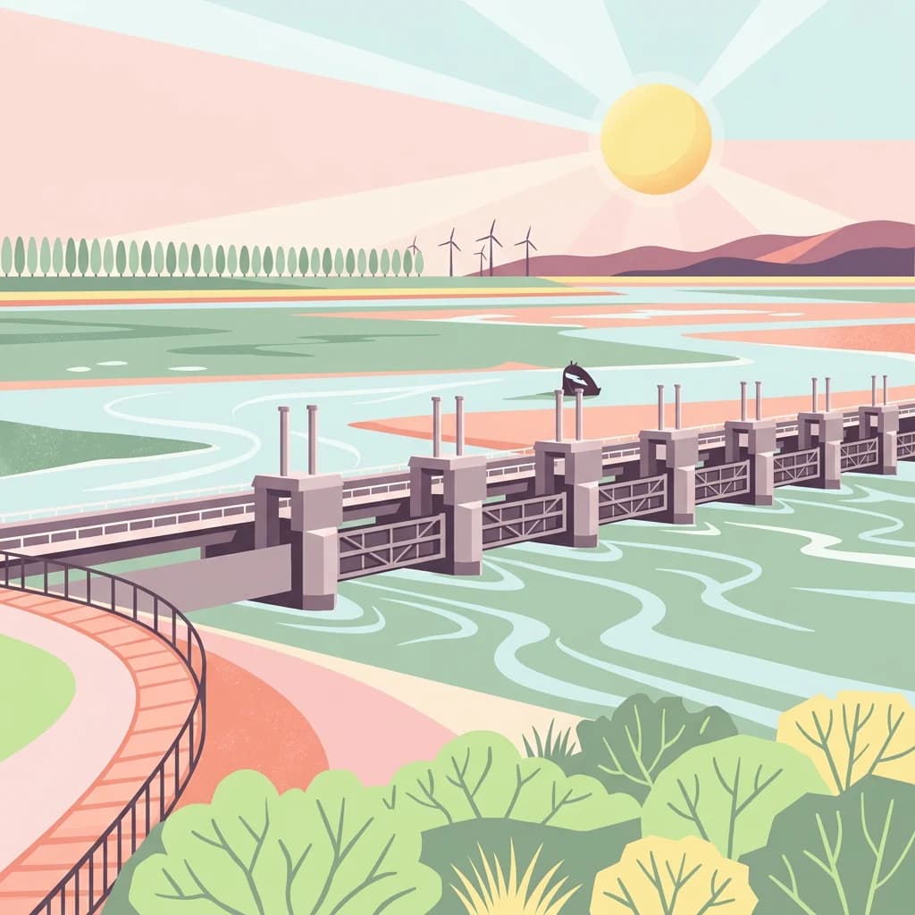
The history of the Eastern Scheldt region is inseparable from the larger story of Dutch water management and the Delta Works (Deltawerken). The catastrophic North Sea flood of 1953 prompted the Dutch government to undertake massive engineering projects to protect the southwestern coast from future storm surges. The Oosterscheldekering, completed in 1986, was one of the most ambitious components of this program. Originally designed as a closed dam, it was modified to become a adjustable storm surge barrier that allows tidal exchange while providing protection against extreme weather events.

The construction of the Oosterscheldekering fundamentally changed the Eastern Scheldt's environment. Before the barrier, the tidal range was approximately 4 meters; afterward, it reduced to about 3.25 meters average. This change affected sediment dynamics, with reduced sand deposition on the sandbanks and ongoing erosion of tidal flats. These changes have required ongoing management attention and have influenced how the national park's ecological values are maintained. The area also contains the largest ammunition dump in the Netherlands, a legacy of military use that adds another dimension to the complex history of this landscape.

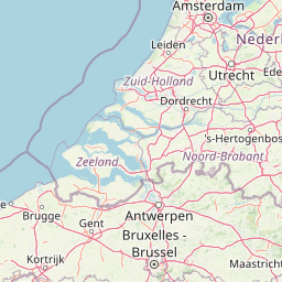
Oosterschelde National Park landscape and geographic character

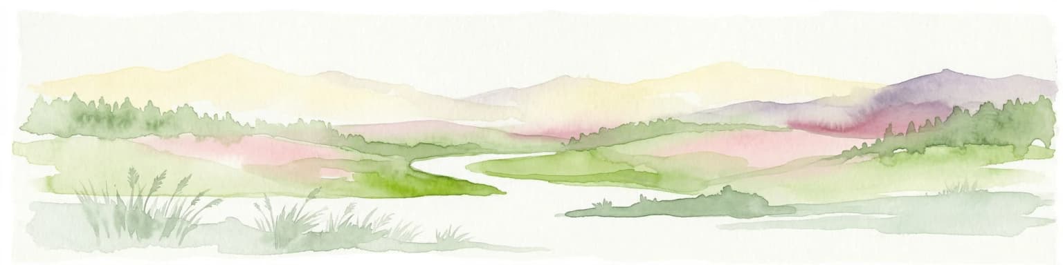
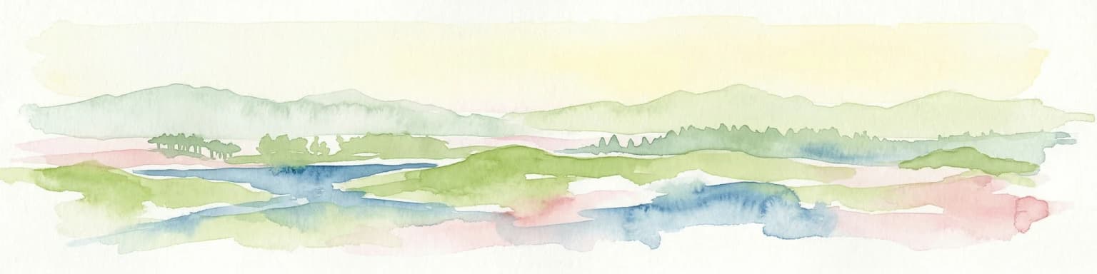
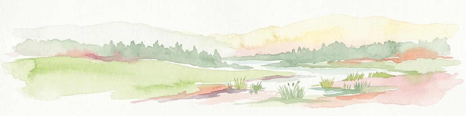
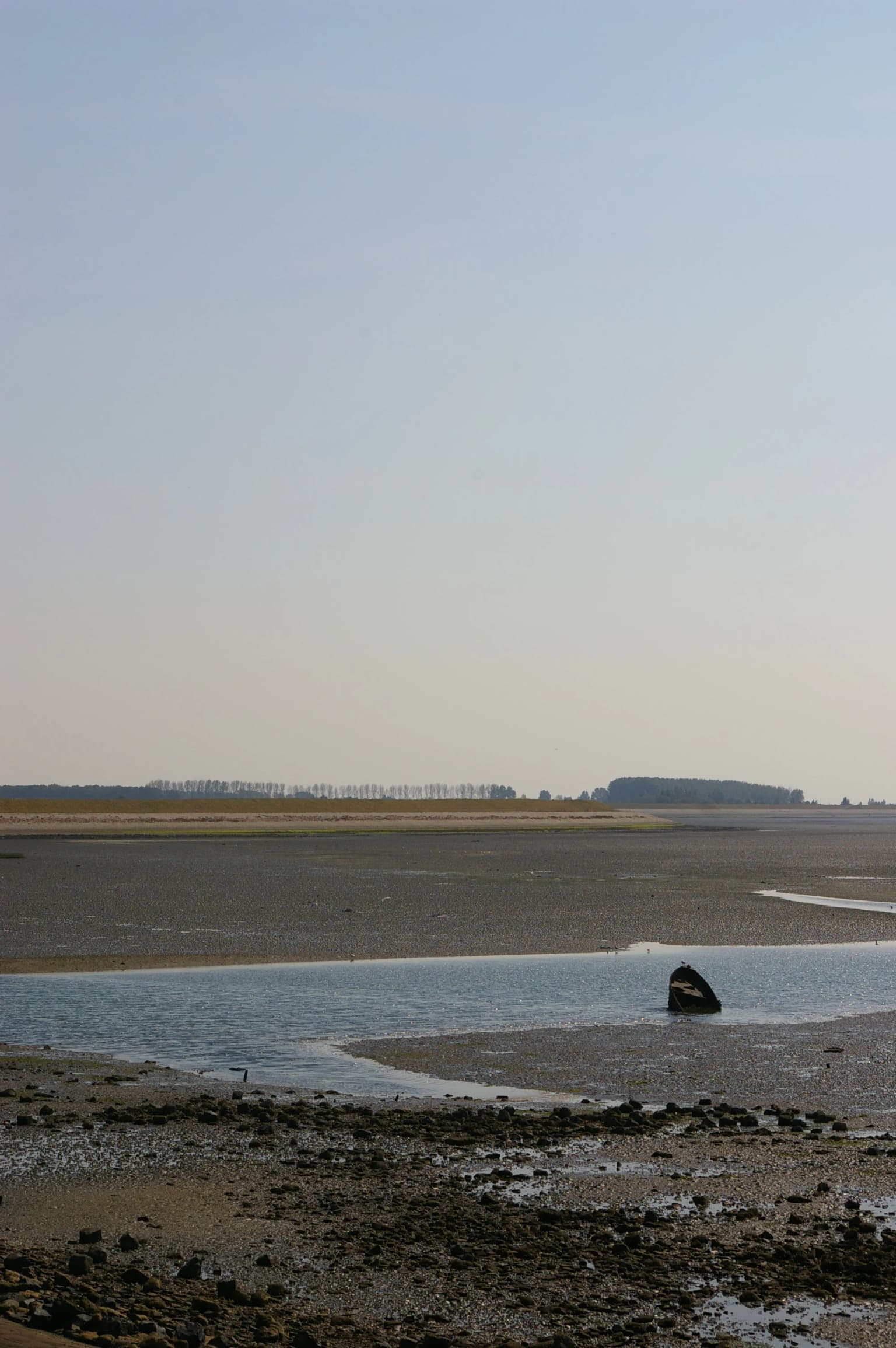
The landscape of Oosterschelde National Park is one of dynamic change, where the constant rhythm of the tides shapes every aspect of the physical environment. The park encompasses a vast tidal lagoon system with interconnected channels, mudflats, sandbanks, and shallow waters that cover approximately 350 square kilometers outside the protective dikes. The tidal range, though reduced since the construction of the Oosterscheldekering, still creates dramatic transformations twice daily, with extensive areas of seabed exposed at low tide and submerged at high tide.

The surrounding islands of Schouwen-Duiveland, Tholen, Zuid-Beveland, and Noord-Beveland form the terrestrial boundaries of the park, their dikes and coastlines creating the interface between the marine environment and human-influenced land. The Zeeland Bridge, a 5,022-meter structure connecting Schouwen-Duiveland to Zuid-Beveland, passes through the park and offers sweeping views of the tidal landscape. Behind the dikes, the land shows the marks of historical reclamation, with former tidal creeks, embankment patterns, and polder layouts visible in the agricultural landscape. The combination of open water, tidal flats, diked islands, and the engineered structures of the Delta Works creates a landscape of remarkable complexity and visual significance.

Oosterschelde National Park ecosystems, habitats, and plant life

The nature of Oosterschelde National Park is defined by its tidal marine environment, one of the most productive and ecologically significant coastal ecosystems in Europe. The Eastern Scheldt supports a complex web of habitats ranging from deep tidal channels to extensive mudflats, from salt marshes to sandbanks, each supporting different communities of plants and animals. The twice-daily tidal fluctuations drive nutrient cycling and create the conditions that make this ecosystem so productive.

The underwater environment hosts remarkable biodiversity. The substrate supports dense populations of fan worms, sea anemones, and other benthic organisms. Irish moss (Mastocarpus stellatus) forms distinctive communities on rocky surfaces, while cuttlefish and various fish species move through the water column. The plankton-rich waters support the entire food web that makes the Eastern Scheldt so ecologically important. The mudflats and sandbanks that emerge at low tide provide crucial feeding grounds for millions of birds that depend on this area during their migrations.

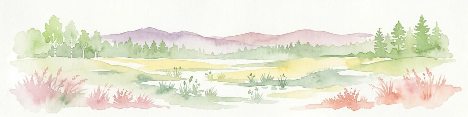
The transition between saltwater and the diked agricultural land creates additional habitat diversity, with salt marshes and brackish environments supporting their own distinctive communities. The interaction between the marine environment and the terrestrial areas behind the dikes creates a mosaic of habitats that contributes to the overall ecological richness of the national park.

Oosterschelde National Park wildlife and species highlights

Oosterschelde National Park is home to notable marine wildlife, with seals being among the most recognizable inhabitants. Common seals (harbor seals) are regularly seen basking on sandbanks or swimming in the shallow waters, while harbor porpoises are frequently observed throughout the park, particularly in the deeper channels. These marine mammals draw many visitors and represent the park's success in maintaining healthy populations despite the changes to the ecosystem since the construction of the storm surge barrier.

The birdlife of Oosterschelde is exceptionally significant, with the tidal flats serving as a critical feeding and resting area for large numbers of wading birds and waterfowl. At low tide, the exposed mudflats attract flocks of gulls, oystercatchers, plovers, sandpipers, and other species that probe the soft sediment for worms, mollusks, and other prey. The area is particularly important during migration seasons, when vast numbers of birds use the Eastern Scheldt as a stopover on their journeys between northern breeding grounds and southern wintering areas.

The underwater wildlife includes diverse fish species, crustaceans, and mollusks that populate the tidal waters and channels. The mussel and oyster beds that exist in the Eastern Scheldt are not only commercially important but also create complex habitat structures that support many other species. The combination of natural marine communities and the influence of aquaculture creates a rich ecological environment that sustains both wild populations and traditional maritime livelihoods.

Oosterschelde National Park conservation status and protection priorities

Oosterschelde National Park represents an important conservation designation that protects one of the Netherlands' most significant marine environments. The park's IUCN Category II status reflects its purpose of protecting ecological processes and natural biodiversity while allowing for sustainable use of natural resources. As the largest national park in the Netherlands, it carries particular symbolic and practical importance for Dutch nature conservation.

The conservation challenges facing the park are closely linked to the changes in hydrology caused by the Oosterscheldekering. The reduced tidal energy has led to decreased sediment deposition and ongoing erosion of tidal flats, threatening the habitats that many species depend upon. Managing these changes while maintaining the park's ecological values requires ongoing monitoring and adaptive management strategies. The balance between protection and the continuation of commercial activities such as fishing and aquaculture adds complexity to conservation planning.

The national park designation provides a framework for coordinating conservation efforts across the various municipalities and organizations involved in managing this complex landscape. Research programs monitor the health of the ecosystem, track population trends in key species, and assess the effectiveness of management measures. Public engagement and education are also important components of the conservation approach, helping visitors understand the value of this unique environment and their role in its protection.

Oosterschelde National Park cultural meaning and human context

The cultural context of Oosterschelde National Park is deeply rooted in the maritime history and ongoing relationship between the Zeeland population and the sea. The islands surrounding the park have been shaped by centuries of interaction with the tidal waters, through fishing, trading, shipping, and the constant battle against flooding. The dikes that protect the islands represent generations of labor and engineering achievement, transforming what was once a dangerous flood-prone area into productive agricultural land.

The traditional practices of mussel and oyster farming continue in the Eastern Scheldt, maintaining a connection between the park's marine environment and the region's economic heritage. These aquaculture activities are integrated into the national park landscape, representing a example of sustainable use of natural resources that has characterized the Zeeland coast for centuries. The cultural identity of the region is inseparable from the tidal waters that both threatened and sustained its communities.

Behind the dikes, the landscape bears the marks of historical land reclamation and the struggle to create and maintain habitable space in this challenging environment. The karrevelden, inlagen, and creek systems are not just ecological features but also cultural artifacts that document the human history of the area. This intertwining of natural and cultural elements gives the national park its distinctive character as a place where conservation and living cultural heritage meet.

Top sights and standout views in Oosterschelde National Park

Oosterschelde National Park stands out as the Netherlands' largest national park, protecting a tidal marine ecosystem of international importance. The dynamic interaction between tides and landscape creates constantly changing scenery, with extensive mudflats and sandbanks appearing and disappearing with the twice-daily tidal cycles. The park's seal populations and popular diving opportunities make it a destination for wildlife enthusiasts and underwater explorers. The combination of natural beauty, engineering significance through the Oosterscheldekering, and ongoing maritime culture provides a uniquely rich visitor experience. The importance of the area for migratory birds adds to its ecological significance, with the tidal flats supporting enormous numbers of wading birds during migration seasons.

Best time to visit Oosterschelde National Park

The Oosterschelde National Park can be visited throughout the year, with each season offering different experiences. Spring and autumn are particularly rewarding for birdwatching, when large numbers of migratory birds pass through the area to rest and feed on the tidal flats. The changing seasons also bring different lighting conditions and atmospheric qualities to the landscape, with winter storms creating dramatic scenes and summer offering more settled weather for exploring the islands and waters.

The timing of visits can be planned around the tidal cycle to experience the dramatic transformation between high and low tide. At low tide, the extensive mudflats are exposed, creating ideal conditions for observing wading birds and understanding the dynamic nature of this tidal ecosystem. At high tide, the water covers the flats, creating a different landscape and improving conditions for boat tours and water-based activities. The Oosterscheldekering itself is an impressive sight in any season, particularly during storm events when the barrier demonstrates its function as a storm surge protection system.

Park location guide

Geography guide, regional context, and park location map for Oosterschelde National Park

Oosterschelde National Park park geography, regions, and map view in Netherlands
Understand where Oosterschelde National Park sits in Netherlands through a broader geographic reading of the surrounding landscape, nearby location context, and its mapped position within the national park landscape.

How Oosterschelde National Park fits into Netherlands

The Netherlands is a low-lying coastal country in Northwestern Europe, famous for its extensive dike and canal systems that reclaim land from the sea. It consists of twelve provinces and is known for tulips, windmills, and cycling culture. The country is a founding member of the European Union with Amsterdam as its capital and The Hague as the seat of government.

Wider geography shaping Oosterschelde National Park in Netherlands

The Netherlands is located in Northwestern Europe along the North Sea coastline to the north and west. It borders Germany to the east and Belgium to the south. The country is notably flat, with a significant portion of its territory lying below sea level, protected by dikes and dune systems. It consists of twelve provinces and also includes overseas municipalities in the Caribbean.

Map view of Oosterschelde National Park

Use this park location map to pinpoint Oosterschelde National Park in Netherlands, understand its exact geographic position, and read its mapped placement within the surrounding landscape more clearly.

Pigeon | © OpenStreetMap contributors

Location context for Oosterschelde National Park

Zeeland

Visually grasp the dynamic habitats and unique coastal terrain of the Netherlands' largest national park, a vital tidal ecosystem in Zeeland.

Oosterschelde National Park Photos: Explore Tidal Marine Landscapes and Protected Area Scenery
Browse comprehensive imagery of Oosterschelde National Park to understand its distinctive tidal flats, expansive sandbanks, and rich marine environments that define this Dutch protected area. These park photos provide essential visual context for appreciating the dynamic intertidal landscapes, diverse aquatic habitats, and significant conservation efforts within this unique Zeeland region.

Wide coastal landscape featuring the Oosterschelde estuary with tidal mudflats, shallow water channels, and a distant tree line under a clear sky

Paved pathway with metal railing leading to a large concrete storm surge barrier spanning a waterway under a clear blue sky

Park atlas

Compare regional protected landscapes, tracing coastal environments and adjacent nature reserves across the Netherlands.

Explore Nearby National Parks and Protected Areas Beyond Oosterschelde National Park
After exploring Oosterschelde National Park, continue your geographic discovery by browsing other national parks and protected areas within the Dutch coastal region. Compare diverse landscapes, from additional tidal wetlands to forest reserves and river deltas, understanding broader conservation efforts across the Netherlands' mapped geography.
National park

De Zoom, Kalmthoutse Heide Cross-Border Park: Transboundary National Park & Heathland Atlas

Explore mapped protected boundaries and regional geography.

This page details the De Zoom, Kalmthoutse Heide Cross-Border Park, a significant national park that merges Belgian and Dutch protected territories. It is recognized for its expansive heathland, a crucial ecosystem in the Benelux region, offering a rich visual and ecological study. The park's mapped landscape context reveals its unique geography, from dry heathlands to Ramsar-designated wetlands, providing valuable insight for atlas-based exploration of protected areas. Understand the park's protected area identity and its role within the regional landscape.

Area
37.5 km²
Established
2001
IUCN
II
Nature reserveBelgium

Zwin Nature Reserve: Belgium's Coastal Wetland and Historic Tidal Inlet Landscape

Mapped protected area boundaries and coastal wetland geography.

Delve into the Zwin Nature Reserve, a significant protected landscape on Belgium's North Sea coast. This area preserves the unique geography of a historical tidal creek system, characterized by extensive salt marshes, mudflats, and specialized coastal vegetation. As a vital habitat for diverse bird species and a showcase of tidal dynamics, Zwin offers a compelling case study in coastal conservation and landscape evolution, providing rich context for geographic and atlas-based exploration.

Area
1.58 km²
Established
1952
Relief
Lowland
Climate
Temperate
Watercolor illustration showing a network of rivers, trees, and hills in a wetland landscape
National park

De Biesbosch National Park: A Dutch National Park Mapping Tidal Wetlands and Flood Forests

Explore mapped waterways and diverse protected landscapes.

Delve into the geography of De Biesbosch National Park, a remarkable protected area in the Netherlands renowned for its extensive freshwater tidal wetlands. This national park showcases a unique landscape defined by intricate river systems, dominant willow flood forests, and vital reed beds, serving as a critical habitat for migratory birds and a prime example of wetland restoration. Understand its place within the regional geography through our atlas-driven approach to protected land discovery.

Area
90 km²
Established
1994
IUCN
II
Relief
Lowland
Watercolor artwork showing sand dunes, scattered trees, distant mountains, and soft sky
National park

De Loonse en Drunense Duinen National Park: Explore Dutch Protected Sand Drift Landscapes and Heathlands

National Park with unique living sand drift and dune terrain.

Navigate the geographic contours and protected land boundaries of De Loonse en Drunense Duinen National Park, a premier Dutch natural area. This national park is celebrated for its extensive living sand drift, one of the largest in Northern Europe, alongside significant heathlands and coniferous forests. Gain a structured understanding of its landscape character and its role within regional geography through detailed map context and atlas exploration tools.

Area
35 km²
Established
2002
IUCN
II
Relief
Lowland
Watercolor illustration of rolling hills, a winding river, and fields with distant mountains
National parkNorth Brabant

Van Gogh National Park: National Park in North Brabant with Dune Landscapes

Explore mapped protected areas and regional geography.

Van Gogh National Park is a significant protected landscape in North Brabant, Netherlands, covering approximately 1,200 square kilometers. This national park is distinguished by its extensive drift sand dune systems, notable heathlands, and wooded valleys, offering a diverse terrain within the Dutch context. Named in tribute to Vincent van Gogh, it merges rich natural landscapes with cultural heritage, serving as a model for collaborative conservation and regional development, all mapped for detailed atlas exploration.

Area
1,200 km²
Established
2024
IUCN
II
Relief
Lowland
Watercolor depiction of rolling coastal dunes, blue waterways, green vegetation, and distant hills under a light sky
National parkNorth Holland

Zuid-Kennemerland National Park: Coastal Dune Protected Landscape in North Holland

Explore its unique mapped terrain and protected area geography.

Zuid-Kennemerland National Park showcases a remarkable coastal dune ecosystem situated in the North Holland province. This national park entry provides detailed insight into its protected landscape, from calcium-rich dune soils supporting rare flora to ancient woodlands and extensive walking trails. Users can explore the park's mapped boundaries, understand its geographic setting within the Netherlands, and appreciate its significance as a conservation area. Discover the natural terrain and ecological richness that characterize this important Dutch protected land.

Area
38 km²
Established
1995
IUCN
II
Visitors
1.8M annual
Watercolor landscape showing green hills, forests, and a small stream with grassy patches
National parkUtrecht Province

Utrechtse Heuvelrug National Park: Mapped Protected Landscape and Geographic Atlas

Discover Utrecht Province's glacial ridge and diverse natural terrain.

Utrechtse Heuvelrug National Park is a significant protected natural area located in Utrecht Province, renowned for its unique glacial ridge topography. This entry provides detailed information about its mapped boundaries, diverse landscapes including heathlands and forests, and its importance as an ecological corridor within the Netherlands. Explore the park's distinct geography and its role in regional conservation through our structured atlas view.

Area
100 km²
Established
2003
IUCN
II
Visitors
1M annual
Watercolor painting of a peat bog ecosystem featuring green trees, pink and yellow vegetation, a body of water, and distant mountains
National park

De Groote Peel National Park: Mapped Boundaries of a Unique Raised Bog & Wetland

Protected area with exceptional birdlife and peat landscape.

De Groote Peel National Park represents a crucial protected landscape in the Netherlands, renowned as one of the last substantial raised bogs in Western Europe. Its terrain is characterized by a distinct blend of open lakes formed by historical peat extraction, heathland expanses, and sensitive peat swamps. This Ramsar-designated wetland is a vital habitat for numerous bird species, offering unique opportunities for landscape context and atlas exploration of its ecological significance and mapped geographic features.

Area
13.4 km²
Established
1993
IUCN
II
Relief
Lowland

Common questions about visiting, size, designation, and location context for Oosterschelde National Park

Oosterschelde National Park FAQs for park facts, access, geography, and protected area context
Find quick answers about Oosterschelde National Park, including protected-area facts, park geography, trail and visitor context, and how the park fits into its surrounding country and regional landscape.
MoriAtlas Explorer

Continue Your Protected Areas Search Across the Global Atlas

Deepen your exploration by continuing the structured search for national parks and protected areas worldwide. Utilize the comprehensive filtering capabilities to compare different conservation landscapes and refine your understanding of global park geography. Discover more about the distribution and characteristics of protected natural areas.

Global natural geography