
A comprehensive index of glacial valleys, limestone peaks, and karstic terrain formations
Geographic Features and Natural Landmarks of Ordesa y Monte Perdido National Park
This collection serves as a focused index for the diverse natural features found throughout Ordesa y Monte Perdido National Park in the Spanish Pyrenees. From the towering summit of Monte Perdido to the deep glacial cirques and cliff-bound river canyons, this data helps users identify and locate specific geological and hydrological landmarks within the park geography. It provides a structured view of the varied alpine environment through its distinct landforms and topographic features.
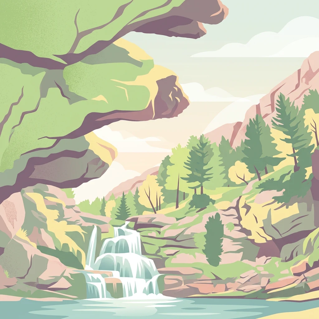
Mapping the glacial cirques, deep canyons, and limestone peaks of the Aragonese Pyrenees
Explore Named Natural Features of Ordesa y Monte Perdido National Park
Mapping summit geography and high alpine terrain
Peaks
Discover the network of named peaks situated within the dramatic limestone environment of Ordesa y Monte Perdido National Park. This index offers a spatial overview of the high summits that shape the park geography, allowing for a structured look at the mountain formations that rise above its iconic glacial valleys and deep gorges.
Geographic atlas of mountain river basins
Rivers
Explore the named river systems associated with Ordesa y Monte Perdido National Park. This collection focuses on the watercourses that carve the valleys and canyons of the central Pyrenees, offering a spatial view of the region's hydrological and geological evolution within the protected limestone massif.
Glacial valleys and alpine drainage networks
Valleys
Discover the network of valleys within Ordesa y Monte Perdido National Park. These features provide essential context for the park landscape, revealing how glacial erosion and tectonic shifts have shaped the rugged limestone mountains of the central Pyrenees. Gain insights into the orientation, relief, and geographic significance of each named formation within the protected area.
Continue Exploring Ordesa y Monte Perdido National Park's Protected Landscape and Regional Geography
Dive deeper into the mapped context and geographic specifics of Ordesa y Monte Perdido National Park. This MoriAtlas exploration reveals the park's distinct glacial formations, towering limestone cliffs, and its significant place within the Pyrenean atlas. Understand the park's protected boundaries and the intricate alpine terrain that defines this remarkable natural landscape.