
A structured atlas of rivers, valleys, and forest terrains defining the Codri regional landscape.
Named Natural Features and Geographic Landscapes of Orhei National Park in Moldova
This geographic collection documents named natural features associated with Orhei National Park, detailing the diverse terrain types across the Codri region. From the meandering Răut River valley to the extensive deciduous woodlands and protected landscape reserves, this index maps the physical geography defining the park boundary. Each entry connects specific landforms and water systems to the broader protected forest estate of central Moldova.
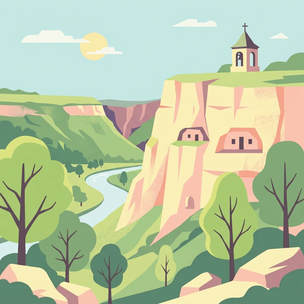
Tracing the valleys, rivers, and rolling hills of the central Codri region
Named Natural Features and Landscape Geography of Orhei National Park
Natural surface openings in central Moldova
Cave entrances
Examine the distribution of cave entrance points throughout the rolling forest landscape of Orhei National Park. These mapped features provide a window into the underground karst void systems characterizing the park's central Moldovan terrain, allowing for detailed geographic study of individual surface connections.
Continue Exploring the Geography of Orhei National Park's Protected Landscape
Delve deeper into the structured geographic context and mapped boundaries of Orhei National Park. Understand its place within Orhei District and how its protected landscape contributes to Moldova's broader natural and cultural atlas. MoriAtlas provides detailed insights into the park's terrain and regional setting, enabling a comprehensive discovery of this significant conservation area.