
Mapping the subarctic plateau, expansive lake basins, and distinct geological formations across this vast protected wilderness.
Named Natural Features and Geographic Landscapes of Padjelanta National Park, Sweden
Explore the collection of named natural landforms and water bodies associated with Padjelanta National Park, encompassing the Swedish Laponia region. This dataset captures the plateau geography, including the expansive Vastenjavrre and Virihavrre lakes, alongside mountainous terrain and alpine vegetation zones. Each record provides structural context for the diverse landforms, forests, and geological features that define the character of this significant Scandinavian subarctic wilderness.
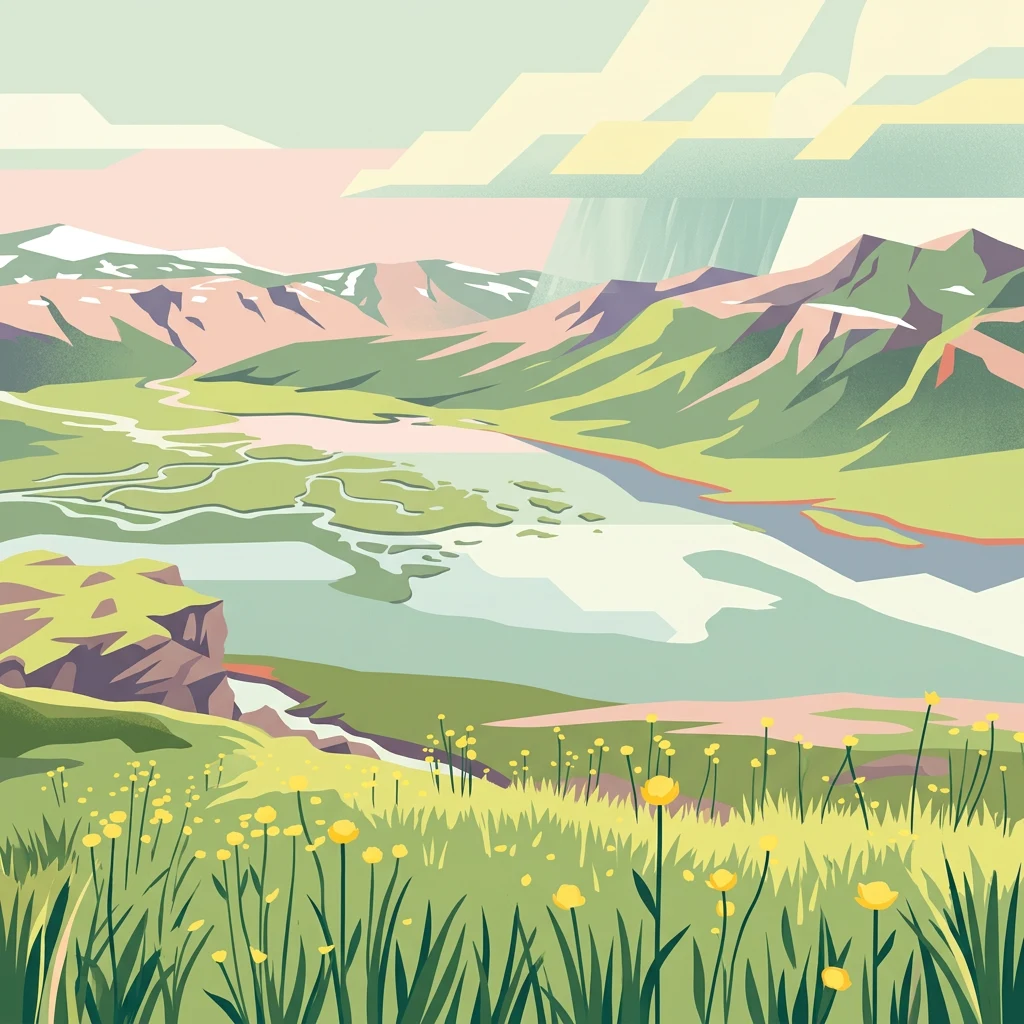
Landscape details and hydrological systems of Sweden's high subarctic plateau.
Mapped Natural Features and Geographic Landmarks of Padjelanta National Park
Subarctic hydrology and plateau lake geography
Lakes
Examine the distribution and physical characteristics of named lakes within the Padjelanta National Park plateau. This resource provides a structured look at the inland water bodies that shape the geography of this northern Swedish wilderness, focusing on basin placement and regional environmental context.
Continue Mapping Padjelanta National Park's Protected Geography and Landscape
Deepen your understanding of Padjelanta National Park by exploring its specific geographic context within Norrbotten County and the broader Laponia region. Examine the park's unique plateau terrain, the mapped extent of its protected boundaries, and its ecological significance as a vital component of the arctic wilderness. MoriAtlas provides the structured data to trace the mapped features and understand the regional atlas of this expansive natural reserve.