Mori Atlas logo
National parkPadjelanta National Park

Explore the vast subarctic terrain, unique lake geography, and lichen diversity of this key Laponia World Heritage Site.

Padjelanta National Park: Sweden's Largest Protected Plateau Landscape in Norrbotten County

(Padjelanta nationalpark)

Padjelanta National Park represents Sweden's largest protected natural area, a sweeping subarctic plateau landscape in the expansive Norrbotten County. This national park is defined by its unique geography, centered around two large lakes, Vastenjávrre and Virihávrre, offering a contrasting open terrain compared to the dramatic alpine regions nearby. As a core component of the Laponia World Heritage Site, Padjelanta provides an exceptional opportunity for atlas-driven discovery of arctic wilderness, exceptional botanical diversity, and a living Sámi cultural landscape.

National ParkSwedenSubarcticPlateauLakesUNESCO World Heritage
Illustration showing mountainous terrain with green fields, lakes, and a river under a partly cloudy sky

Padjelanta National Park

National park

Park overview

Structured park overview, official facts, and landscape profile for Padjelanta National Park

Padjelanta National Park park facts, protected area profile, and essential visitor context
Review the core facts for Padjelanta National Park, including designation, size, terrain, visitor scale, habitats, and operating context in one park-focused overview.

About Padjelanta National Park

Padjelanta National Park occupies a unique position in Sweden's protected area system as the nation's largest national park, spanning nearly 2,000 square kilometers of subarctic terrain in the far north. The park's defining characteristic is its extensive plateau landscape, a relatively flat and open terrain that distinguishes it sharply from the rugged alpine character of neighboring Sarek National Park. At the heart of the park lie two unusually large lakes—Vastenjávrre and Virihávrre—whose waters have attracted human settlement since the Stone Age. Virihávrre holds particular reverence, widely regarded as Sweden's most beautiful lake. The park's western border traces the Norwegian frontier, while to the east it adjoins Sarek, creating a contiguous wilderness corridor of international significance. Padjelanta was established in 1962 and forms a cornerstone of the Laponia World Heritage Site, recognized by UNESCO in 1996 for the exceptional integration of natural and cultural values. The park remains an actively managed cultural landscape where traditional Sámi reindeer husbandry continues seasonal operations, maintaining a living connection between human communities and this dramatic northern environment.

Quick facts and research context for Padjelanta National Park

Padjelanta National Park is located in northern Sweden's Norrbotten County, near the border with Norway, and is part of the Laponia World Heritage Site established in 1962. As Sweden's largest national park, it protects a subarctic plateau ecosystem centered on two major lakes with exceptionally rich biodiversity. The park maintains a functioning cultural landscape where three Sámi villages—Duorbun, Jåhkågasska, and Sirges—continue seasonal reindeer herding operations using traditional settlement areas.

Park context

Deeper park guide and search-rich context for Padjelanta National Park

Padjelanta National Park history, landscape, wildlife, and travel context
Explore Padjelanta National Park through its history, landscape character, ecosystems, wildlife, conservation priorities, cultural context, and seasonal travel timing in a structured park guide built for atlas discovery and search intent.

Why Padjelanta National Park stands out

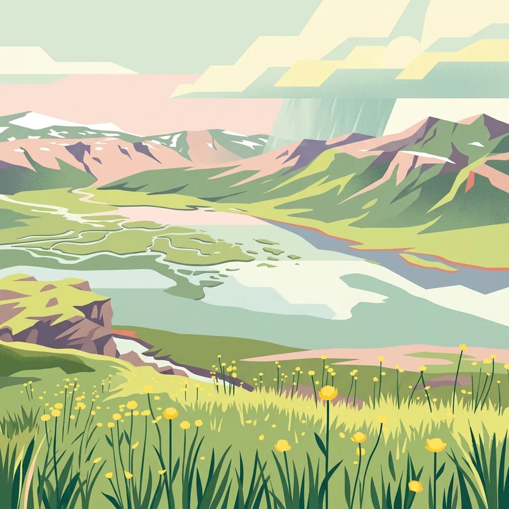
Padjelanta is best known for its vast, open plateau landscape punctuated by two exceptionally large subarctic lakes in a region that represents the stark beauty of northern Scandinavian wilderness. The park is famous for supporting remarkable plant diversity, including over 400 lower plant species, a record for Swedish fell regions, and for being home to rare species found nowhere else in Europe, such as Potentilla robbinsiana. Its lichen diversity has earned recognition as a "lichen diversity heaven" in Scandinavia, with recent studies documenting new species findings. The park also holds deep cultural significance as a living Sámi cultural landscape with ongoing reindeer husbandry.

Grassy hillside with yellow wildflowers overlooking a lake, snow-capped mountains in the background under a partly cloudy sky
View of Vásstenjávrre lake from Vielggisbákte in Padjelanta National Park

Padjelanta National Park history and protected-area timeline

Human presence in Padjelanta extends back to the Stone Age, as evidenced by numerous trapping pits found throughout the area that have been dated to this early period. The region's flourishing meadows and fish-filled lakes have long made it attractive for human habitation, and even today these same lakes continue to support Sámi fishing operations. The area has held scientific interest since the birth of modern research, particularly for studies of flora, fauna, and geology. The park was formally established in 1962 as part of Sweden's expanding national park system, and its inclusion in the UNESCO World Heritage Site Laponia in 1996 elevated its international recognition. Today, management of tourist facilities within the park has been transferred to the Sámi villages under the name Badjelánnda Laponia Turism, reflecting the ongoing cultural connection between the land and its traditional custodians.

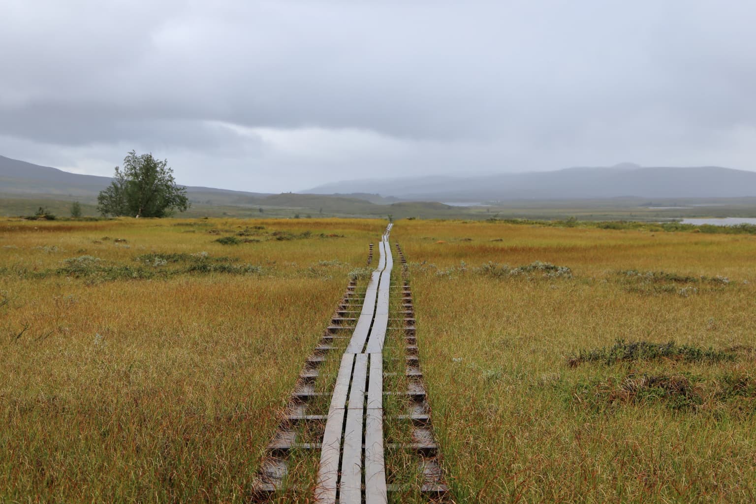
Padjelanta National Park landscape and geographic character

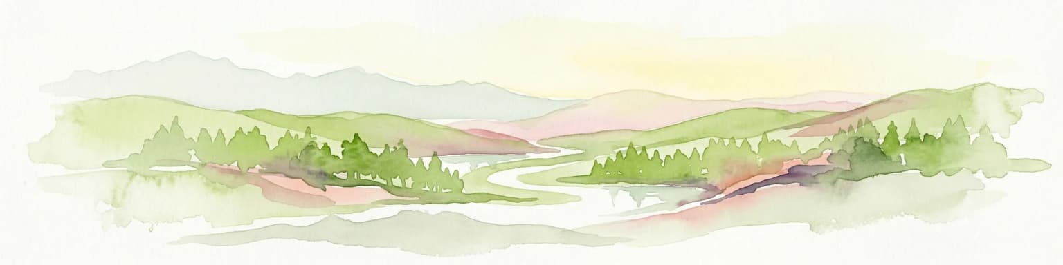
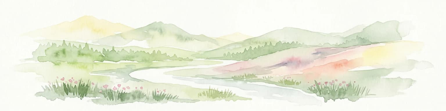
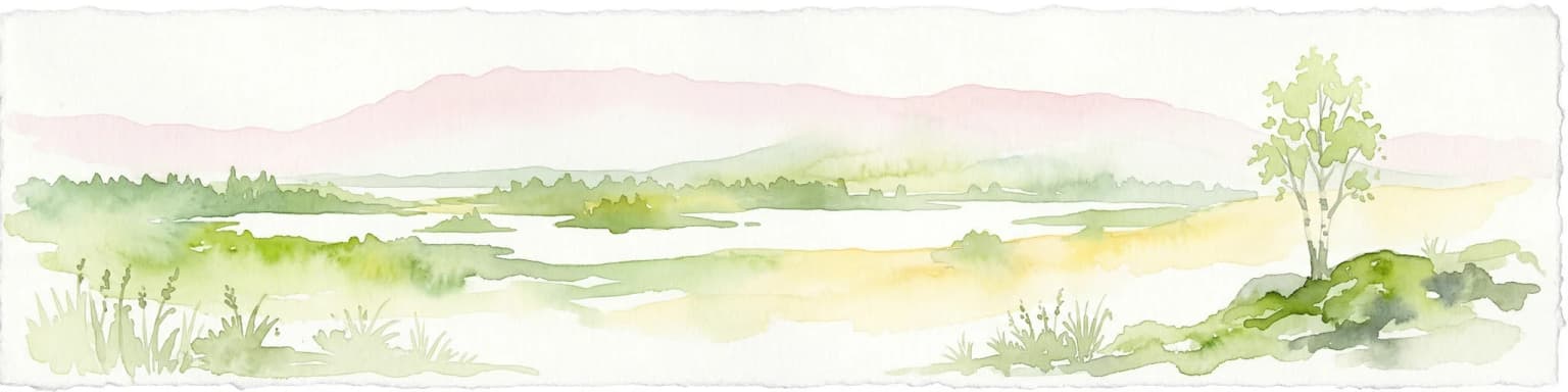
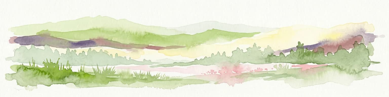
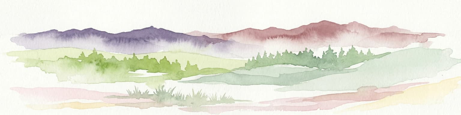
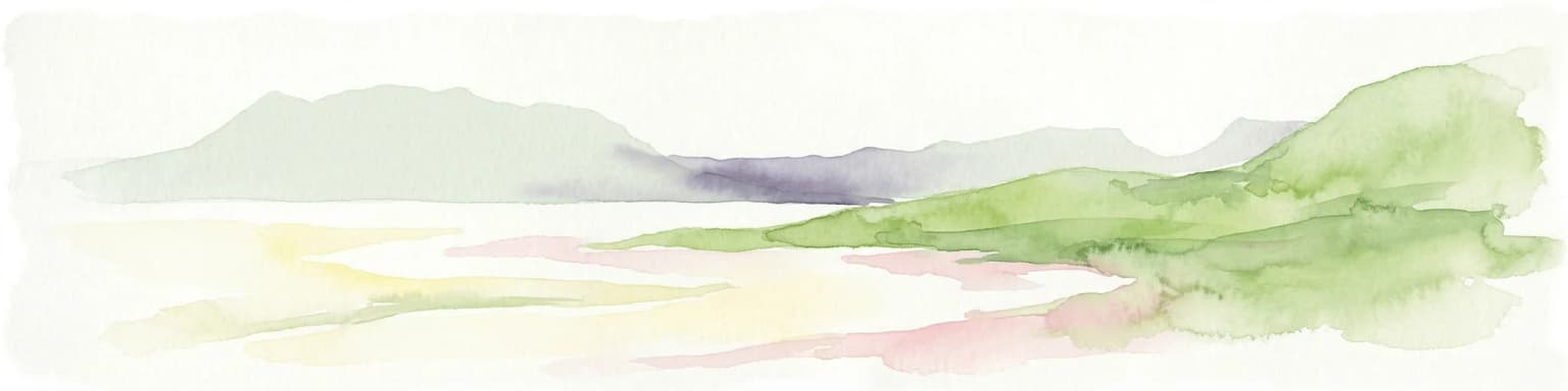
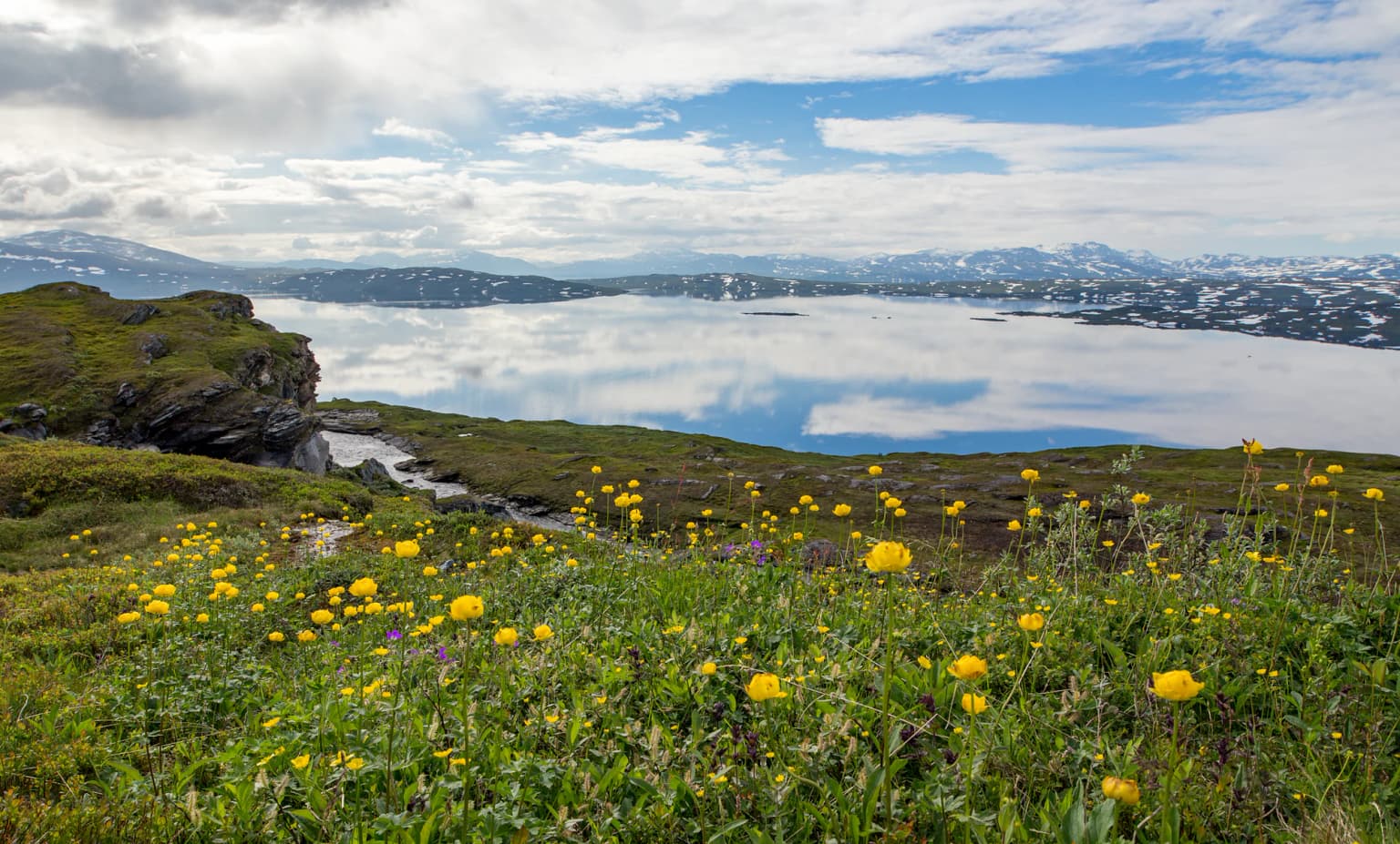
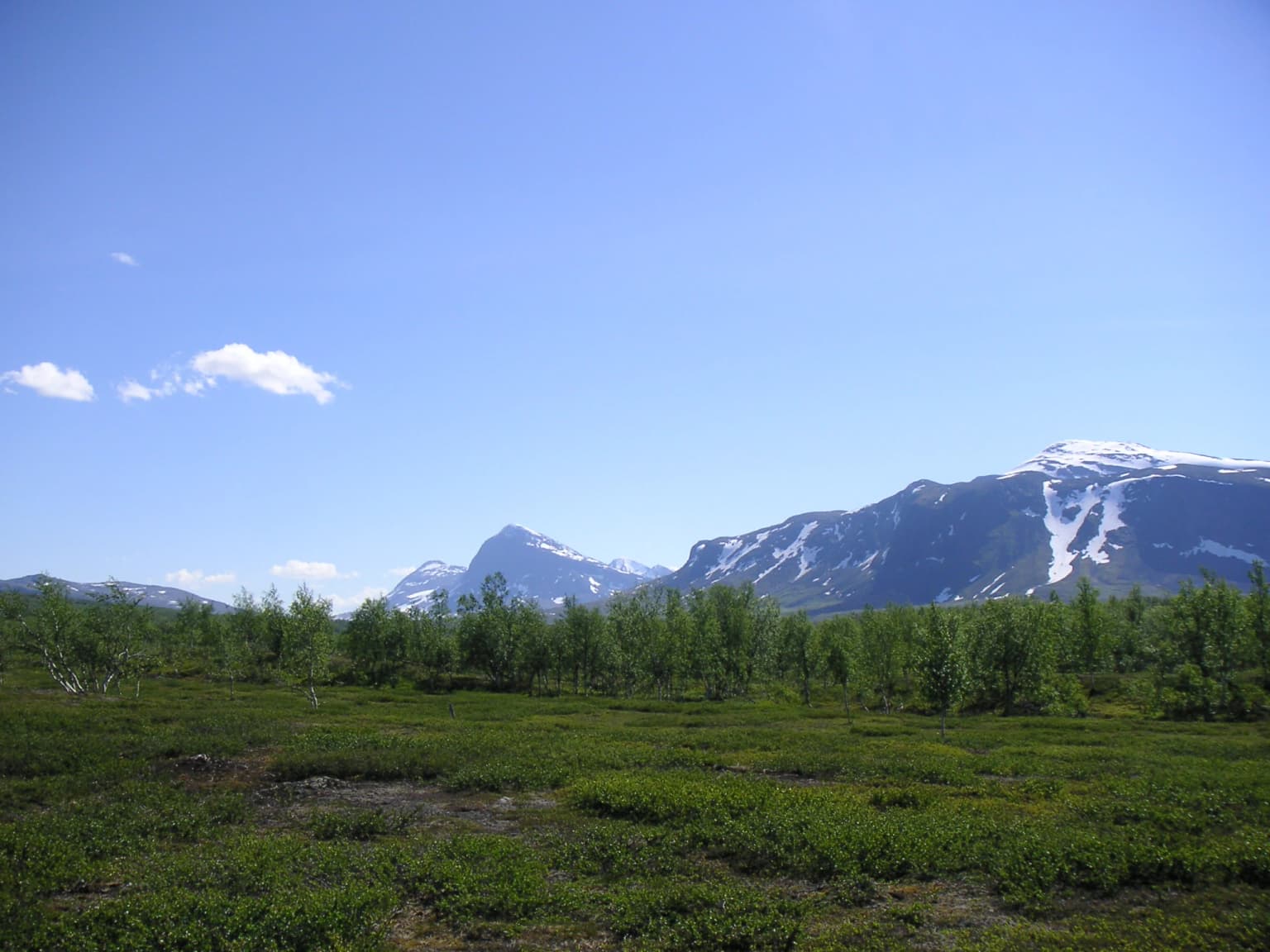
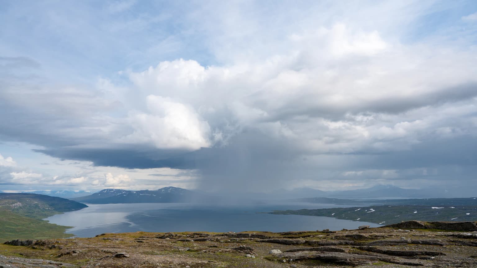
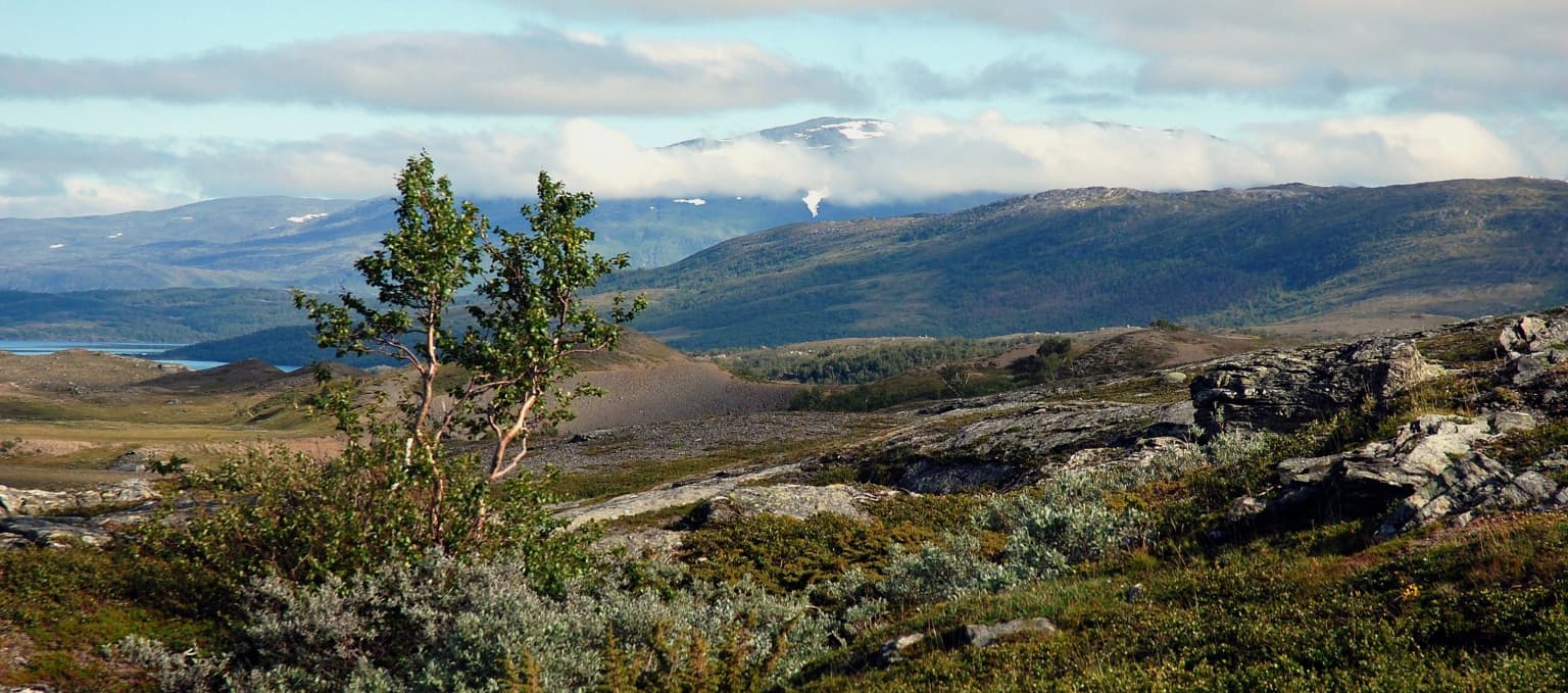
The physical landscape of Padjelanta is defined by an extensive plateau ecosystem centered around two remarkably large subarctic lakes. Vastenjávrre and Virihávrre dominate the park's interior, their expansive waters set against a backdrop of gently rolling hills with minimal prominent peaks—a stark contrast to the dramatic alpine terrain of Sarek National Park bordering to the east. The landscape is notably flat and open compared to the mountainous character typical of northern Sweden's protected areas, though the terrain remains elevated above the surrounding lowlands. The park's western boundary follows the frontier with Norway, while the varied geology including calcareous and ultramafic rock formations contributes to the ecological diversity of the region. The northeastern corner of the park supports a small forest of mountain birch covering approximately 1,400 hectares—the only tree species capable of surviving the harsh conditions above the tree line.

Snow-capped mountains with green vegetation in foreground under clear blue sky
Snow-capped mountains with green tundra vegetation in Padjelanta National Park, Sweden

Padjelanta National Park ecosystems, habitats, and plant life

The ecological character of Padjelanta reflects its position above the Arctic tree line, where harsh climatic conditions limit tree growth to the resilient mountain birch. This species, Betula pubescens subsp. tortuosa, forms a distinctive small forest in the northeastern corner of the park—the only meaningful tree cover in an otherwise open landscape. Despite the harsh conditions, the park supports extraordinary botanical diversity. Over 400 lower plant species (thallophytes) have been cataloged, reportedly a record for Swedish fell regions. This exceptional diversity stems from the park's western position and chalk-rich bedrock. Several plant species are endemic to the Swedish fell regions, including Arenaria humifusa, Gentiana aurea, and notably Potentilla robbinsiana, which in Europe has been found only in Padjelanta. The lichen flora is equally remarkable, with recent research documenting 10 species new to Sweden and 98 new to the Lule lappmark region. The varied geology supporting both calcareous and ultramafic rock creates conditions for this exceptional diversity.

A panoramic view of a large lake surrounded by mountainous terrain under a partly cloudy sky with rain visible in the distance
View of Vásstenjávrre lake from Guovddelisvárre summit

Padjelanta National Park wildlife and species highlights

The mammalian fauna of Padjelanta is notably limited in species diversity, with small populations of a few species dominating. Lemmings and reindeer form the primary mammal community, with the park also supporting the predators that depend on them—wolverine and Arctic fox, both permanently resident in the park. In contrast to the limited mammal population, the park's birdlife is exceptionally rich and diverse. The heath areas support typical species including European golden plover, meadow pipit, and northern wheatear, with rock ptarmigan, Eurasian dotterel, and Eurasian whimbrel also common. The lakes host abundant waterfowl including long-tailed duck, Eurasian teal, and common scoter, along with various wader species such as red-necked phalarope, ruff, Temminck's stint, and common redshank. The mountain birch forest in the northeast provides habitat for common redpoll, willow warbler, Lapland longspur, bluethroat, and redwing. Throughout the park, species like lesser white-fronted goose, gyrfalcon, golden eagle, white-tailed eagle, great snipe, rough-legged buzzard, and long-tailed jaeger can be observed. During lemming population peaks, the rare snowy owl may appear. The lakes also support abundant fish populations, with Vastenjávrre and Virihávrre being especially densely populated.

Rocky hills, sparse vegetation, and distant mountains under a partly cloudy sky
Panoramic landscape view of Padjelanta National Park with distant mountains and Staloluokta lake visible

Padjelanta National Park conservation status and protection priorities

Padjelanta National Park represents one of Sweden's most significant protected areas, forming a core component of the UNESCO World Heritage Site Laponia established in 1996. The park's conservation significance stems from the exceptional integration of outstanding natural values with living cultural practices. The remarkable plant and lichen diversity—including species found nowhere else in Europe—has prompted recent scientific attention, with a 2023 study highlighting the park's importance as a "lichen diversity heaven" for Scandinavia. While only six red-listed lichen species were recorded, this likely reflects insufficient assessment of alpine lichen species rather than absence of conservation concern. The park protects critical habitat for both Arctic fox and wolverine, species of conservation concern in Sweden. The ongoing traditional reindeer husbandry by three Sámi villages maintains the cultural landscape character that contributed to World Heritage recognition, representing a living example of sustainable human-nature interaction in the subarctic.

Padjelanta National Park cultural meaning and human context

Padjelanta holds profound cultural significance as a living Sámi cultural landscape. The park's name derives from the Lule Sami word Badjelánnda, meaning "the higher land," a straightforward geographic description of the elevated plateau. Three Sámi villages—Duorbun, Jåhkågasska, and Sirges—continue traditional reindeer husbandry in the park during summer months, utilizing the traditional settlement areas of Stáloluokta, Árasluokta, and Sállohávrre. Archaeological evidence, including several panels of rock art, substantiates longstanding Sámi inhabitation extending far into the past. The lakes remain actively utilized for fishing by the Sámi communities, maintaining traditional subsistence practices. Tourist facilities within the park have been transferred to Sámi management under Badjelánnda Laponia Turism, representing a model of indigenous-led sustainable tourism. This integration of contemporary Sámi life with landscape protection exemplifies the World Heritage values that distinguish Laponia.

Wooden boardwalk trail extending through a marshy field with tall grasses under an overcast sky
Wooden boardwalk trail through golden marshland in Padjelanta National Park

Top sights and standout views in Padjelanta National Park

Padjelanta stands as Sweden's largest national park and a centerpiece of the Laponia World Heritage Site, protecting a vast subarctic plateau ecosystem with two remarkably large lakes. The park supports exceptional botanical and lichen diversity, including species found nowhere else in Europe. The landscape represents a relatively flat and open terrain unlike the alpine character of neighboring Sarek, centered on Virihávrre—celebrated as Sweden's most beautiful lake. The 140-kilometer Padjelantaleden trail traverses the park, while the Swedish center of inaccessibility—the point farthest from roads—lies near Rissájávrre. Three Sámi villages continue active seasonal reindeer husbandry, maintaining a living cultural landscape.

Best time to visit Padjelanta National Park

Padjelanta is a summer destination, as the Padjelantaleden trail is marked only during the snow-free season and the mountain huts are not staffed in winter. The summer months offer the best conditions for hiking through the open plateau landscape and experiencing the midnight sun phenomenon typical of northern Sweden. The characteristic subarctic climate brings mild conditions during July and August, with average temperatures around 10°C, making this the optimal period for outdoor exploration. Visitors seeking to experience the park's cultural dimension can visit Stáloluokta, where a sauna operates during the tourist season and provisions are available.

Park location guide

Geography guide, regional context, and park location map for Padjelanta National Park

Padjelanta National Park park geography, regions, and map view in Sweden
Understand where Padjelanta National Park sits in Sweden through a broader geographic reading of the surrounding landscape, nearby location context, and its mapped position within the national park landscape.

How Padjelanta National Park fits into Sweden

Sweden, formally the Kingdom of Sweden, is a highly developed Nordic country on the Scandinavian Peninsula in Northern Europe. With a population of 10.6 million and an area of 450,295 km², it is the largest Nordic country by both area and population. Sweden is a constitutional monarchy with Stockholm as its capital and largest city, known for its advanced economy, social welfare system, and membership in the European Union and NATO.

Wider geography shaping Padjelanta National Park in Sweden

Sweden occupies the eastern portion of the Scandinavian Peninsula in Northern Europe. It borders Norway to the west and north, Finland to the east, and shares a maritime border with Denmark to the southwest across the Øresund. The country has an extensive coastline along the Baltic Sea and Gulf of Bothnia, dotted with thousands of islands. The terrain varies from mountainous regions in the northwest to low-lying coastal areas and inland lakes in the south and central parts.

Map view of Padjelanta National Park

Use this park location map to pinpoint Padjelanta National Park in Sweden, understand its exact geographic position, and read its mapped placement within the surrounding landscape more clearly.

Pigeon | © OpenStreetMap contributors

Location context for Padjelanta National Park

Norrbotten County

Delve into the visual essence of Padjelanta, observing its expansive plateau terrain, pristine subarctic lakes, and protected natural character.

Padjelanta National Park Landscapes: A Visual Guide to Sweden's Largest Protected Area
Explore a visual gallery of Padjelanta National Park, featuring its vast subarctic plateau, expansive lakes, and distinctive fell landscapes. These images provide essential insight into the park's unique geography, diverse habitats, and overall protected wilderness character.

Grassy hillside with yellow wildflowers overlooking a lake, snow-capped mountains in the background under a partly cloudy sky

Wide view of Kapasluoppal Lake surrounded by mountainous terrain with patches of snow, green and brown vegetation, and rocky foreground

Snow-capped mountains with green vegetation in foreground under clear blue sky

A panoramic view of a large lake surrounded by mountainous terrain under a partly cloudy sky with rain visible in the distance

Rocky hills, sparse vegetation, and distant mountains under a partly cloudy sky

Wide landscape of Padjelanta National Park featuring grassy hills, small lakes, and snow-covered mountains in the background

Wooden boardwalk trail extending through a marshy field with tall grasses under an overcast sky

Park atlas

Trace the regional spread of protected landscapes across northern Sweden and the broader Laponia World Heritage Site.

Explore National Parks and Protected Areas Near Padjelanta National Park
Discover other national parks and protected areas near Padjelanta National Park, highlighting significant conservation landscapes within the broader Laponia World Heritage Site. Compare adjacent subarctic plateau ecosystems with dramatic alpine regions and trace how these protected lands form a cohesive northern Scandinavian wilderness.
Watercolor illustration showing mountains, a river, and forests in a landscape
National parkNordland

Rago National Park: Northern Norway's Protected Mountain Wilderness and Transboundary Atlas

Explore the mapped terrain and unique landscape context of this significant protected area.

Rago National Park is a protected national park in Nordland, Norway, recognized for its challenging mountainous terrain and its crucial role as part of a vast transboundary protected area complex spanning into Sweden. The park's landscape features alpine lakes and glaciers, offering a stark representation of northern Scandinavian mountain wilderness. Understanding Rago National Park provides insight into regional conservation efforts and the geographic significance of large-scale protected lands in Europe.

Area
171 km²
Established
1971
IUCN
II
Relief
Mountain
Watercolor illustration of a mountainous landscape with a river, grass, and distant hills
National parkNorrbotten County

Sarek National Park: Mapping Sweden's Rugged Alpine Wilderness and Glacial Terrain

Explore the mapped geography of Norrbotten County's largest alpine national park.

Sarek National Park represents the heart of Sweden's alpine wilderness, a protected landscape defined by its towering mountain peaks, expansive glaciers, and deeply carved glacial valleys. Situated in Norrbotten County, the park's geography is characterized by a remote and rugged terrain, making it a prime destination for understanding high-altitude natural environments through mapped context. Discover the unique contours of this iconic national park and its place within the broader regional geography of Swedish Lapland.

Area
1,970 km²
Established
1909
IUCN
II
Relief
Mountain
Watercolor painting of a landscape featuring a body of water, green fields, a single tree, and distant mountains under a light sky
National parkNorrbotten County

Stora Sjöfallet National Park: Protected Arctic Landscape in Norrbotten County

Explore mapped terrain and regional geography.

Stora Sjöfallet National Park stands as a significant protected landscape within Norrbotten County, Sweden, renowned for its striking Arctic mountain scenery centered on the Áhkká massif. As a key component of the Laponian Area UNESCO World Heritage Site, its vast expanse of over 1,278 square kilometers offers critical insights into subarctic ecosystems, glacial terrain, and the mapped boundaries of a protected natural territory. Discover the unique geographic features and ecological value of this expansive national park.

Area
1,278 km²
Established
1909
IUCN
II
Relief
Mountain
Watercolor illustration of a landscape with rolling hills, a river, and trees
National parkNordland

Junkerdal National Park: Protected Arctic-Alpine Landscape in Nordland, Norway

Explore mapped boundaries and unique geographic context.

Delve into Junkerdal National Park, a significant protected area within Nordland county, Norway. This national park is celebrated for its rich arctic-alpine flora, including rare plant species that thrive at their southernmost European range. The varied landscape, shaped by glacial activity, features dramatic mountain valleys and alpine plateaus, offering a distinct geographic profile. Understand its protected status and mapped terrain, providing a critical point of discovery for regional landscape context.

Area
682 km²
Established
2004
IUCN
II
Relief
Mountain
National parkNordland

Sjunkhatten National Park: Norway's Protected National Park Identity and Geographic Atlas

Mapped landscape context and regional geography details.

Explore the structured geographic data and protected landscape context for Sjunkhatten National Park, a significant national park in Nordland, Norway. This page provides detailed insights into its mapped boundaries and regional setting, offering an atlas-driven view of its natural terrain. Understand how this protected area contributes to the broader geography of Norway through factual, map-oriented discovery.

Area
417.5 km²
Established
2010
IUCN
II
Relief
Mountain
National parkNorrbotten County

Pieljekaise National Park: Ancient Birch Woodland and Glacial Terrain in Norrbotten

Explore Sweden's protected landscape and mapped geography.

Pieljekaise National Park, a historic protected area in Norrbotten County, showcases one of Scandinavia's most intact boreal birch woodlands. Its landscape is shaped by ancient glacial activity, featuring a U-shaped valley, rolling hills covered in primeval-like birch forests, and distinctive twin peaks. Positioned along the renowned Kungsleden trail, this national park serves as a vital point for understanding the mapped geography and protected natural heritage of Sweden's Lapland region.

Area
153.4 km²
Established
1909
IUCN
II
Relief
Upland
National park

Láhko National Park: Northern Norway's Protected Arctic Landscape and Geographic Atlas Entry

Mapped boundaries and terrain of a key Finnmark national park.

Láhko National Park is a significant protected area within Norway's Finnmark region, representing a vast expanse of sub-Arctic wilderness and characteristic tundra ecosystems. This park serves as a crucial element in the atlas of northern European protected lands, offering insights into the geographic features and ecological integrity of high-latitude environments. Explore Láhko National Park through MoriAtlas to understand its landscape context, mapped terrain, and its role in preserving Nordic wilderness.

Watercolor painting showing green hills, a body of water, and distant mountains
National parkNorrbotten County

Abisko National Park

Subarctic national park with unique landscapes

Abisko National Park in Swedish Lapland offers a glimpse into dramatic subarctic terrain. Explore its protected boundaries, river canyons, and alpine tundra through structured geographic data.

Area
77 km²
Established
1909
IUCN
II
Visitors
50K annual

Common questions about visiting, size, designation, and location context for Padjelanta National Park

Padjelanta National Park FAQs for park facts, access, geography, and protected area context
Find quick answers about Padjelanta National Park, including protected-area facts, park geography, trail and visitor context, and how the park fits into its surrounding country and regional landscape.
MoriAtlas Explorer

Continue Your Protected Areas Search Across the Global Atlas

Deepen your exploration by continuing the structured search for national parks and protected areas worldwide. Utilize the comprehensive filtering capabilities to compare different conservation landscapes and refine your understanding of global park geography. Discover more about the distribution and characteristics of protected natural areas.

Global natural geography