
Mori Atlas logo
Park guides

Explore detailed resources for timing your visit and understanding wetland ecology

Comprehensive Guide Collection for Palo Verde National Park in Costa Rica

This collection provides focused insights into the natural landscape and seasonal dynamics of Palo Verde National Park. Gain a deeper understanding of the Tempisque River valley, the tropical dry forest ecosystem, and how to plan your visit around the peak months of the dry season.

Related tags

Tropical Dry ForestWetlandsBirdwatchingRamsar SiteMigratory Birds

Central America's last refuge of tropical dry rainforest

Palo Verde National Park

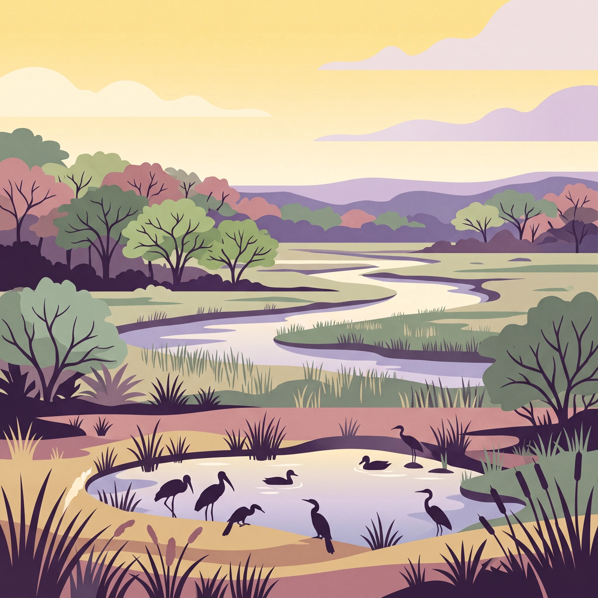
Palo Verde National Park occupies a pivotal position in Costa Rica's protected area network as a guardian of the country's vanishing tropical dry forests. The Tempisque River flows through the park's heart, creating a complex mosaic of floodplain, marshes, seasonal pools, and limestone ridges that support remarkable ecological diversity. Unlike the cloud forests that attract most international visitors to Costa Rica, Palo Verde represents a different ecological world—one where seasonal drought patterns shape vegetation structure and animal behavior in profound ways. The park's establishment responded to the urgent need to preserve what remained of these highly threatened forests, which once covered most of Central America but now exist in less than one-tenth of one percent of their original range. The park's 15 distinct ecological zones range from evergreen gallery forests along the river corridor to mangrove swamps at the river's estuary, creating extraordinary habitat heterogeneity within a relatively compact area. Visitors arriving through the Guanacaste lowlands transition from pastoral landscapes into a world of towering trees, dramatic wetlands, and incredible bird activity, particularly during the dry season months when water sources contract and the park's wetlands become crucial refuges.

Location
Costa Rica
Park type
National park
Established
1978
Area
184 km²
Palo Verde National Park Protected Landscape
MoriAtlas Explorer

Continue Exploring Palo Verde National Park's Mapped Boundaries and Regional Geography

Deepen your understanding of Palo Verde National Park by examining its precise geographic scope and mapped landscape. This focused exploration reveals the park's protected-area identity and its relationship to the surrounding natural terrain within Costa Rica. By analyzing its spatial attributes, you can build a more comprehensive picture of the park's role in the regional geography and its significance as a mapped natural asset.