
Mori Atlas logo
Nature reserveRabenscheider Holz

A mosaic of deciduous woodland, traditional meadows, and gorge terrain in central Germany

Rabenscheider Holz Nature Reserve: Mapping Protected Landscapes in the Hessen Westerwald

(Naturschutzgebiet Rabenscheider Holz)

Rabenscheider Holz encompasses 57 hectares of diverse protected terrain in the Lahn-Dill-Kreis region of Hessen. This nature reserve provides a critical habitat mosaic consisting of old-growth deciduous forest, deadwood, and species-rich meadows shaped by centuries of traditional grazing. The landscape is defined by the Ketzerbach stream, which carves a partially gorge-like valley through the upland Westerwald plateau near the tri-state border.

deciduous forestold-growth woodlanddeadwood habitattraditional grasslandorchard meadowstream valley
A graphic illustration showing a stylized mountain canyon with a two-tiered waterfall, evergreen trees in the foreground, and soft, warm-toned cliffs.

Rabenscheider Holz

Nature reserve

Park overview

Structured park overview, official facts, and landscape profile for Rabenscheider Holz

Rabenscheider Holz park facts, protected area profile, and essential visitor context

Review the core facts for Rabenscheider Holz, including designation, size, terrain, visitor scale, habitats, and operating context in one park-focused overview.

About Rabenscheider Holz

Rabenscheider Holz lies in the higher uplands of the Westerwald, a low mountain region characterized by rolling forested ridges, cool valleys, and traditional small-scale agriculture. The reserve sits in the western part of this landscape, framed by the villages of Rabenscheid and Breitscheid, with the broader cultural and ecological region shaped by centuries of mixed forest and pasture use.

Ecologically, the site captures a small but unusually complete cross-section of the habitats found in this part of the Westerwald. Continuous broadleaf forest with old trees and deadwood dominates much of the protected area, while a network of open meadows, orchard meadows, wet grassland, and dry grassland fragments creates transitional and edge habitats. The Ketzerbach stream, which runs along the western side of the reserve, gives the valley a distinctive character, carving a near-gorge-like channel that supports riparian and moist forest types alongside the surrounding woodland.

As a Natura 2000 component, the reserve is integrated into the larger FFH area "Hoher Westerwald," a site that connects Rabenscheider Holz with neighboring protected landscapes including the Weier- und Winterbach reserve to the northwest and the Waldaubacher Hecke bei Rabenscheid to the southeast. Together, these sites form part of a regional mosaic of habitats that is anchored in traditional land use rather than intensive forestry or agriculture.

Quick facts and research context for Rabenscheider Holz

Rabenscheider Holz is a designated nature reserve (Naturschutzgebiet) under German federal and state protection law, classified at the national level with IUCN Category IV status as a Habitat and Species Management Area. It lies within the municipality of Breitscheid in the Lahn-Dill-Kreis of Hesse, west and northwest of the village of Rabenscheid, near the tri-state border where Hesse, North Rhine-Westphalia, and Rhineland-Palatinate meet.

The reserve covers roughly 57 hectares and was placed under protection on 8 December 1994 under the official identifier 1532032. It is fully incorporated into the European Natura 2000 network, forming part of both the FFH site "Hoher Westerwald" (5314-301) and the EU bird protection area "Hoher Westerwald" (5314-450). Its core ecological value lies in near-natural deciduous forest, traditionally grazed open grassland, and a stream corridor along the Ketzerbach.

Protection and recognition

Documented conservation records and official protected area designations

Rabenscheider Holz Protection Status and International Recognition Data

Rabenscheider Holz maintains formal records detailing official protected area designation metrics and conservation status criteria. Essential management parameters provide structured baseline context for evaluating regional environmental protection policies.

Protection details

WDPA ID
165076
Park context

Deeper park guide and search-rich context for Rabenscheider Holz

Rabenscheider Holz history, landscape, wildlife, and travel context

Explore Rabenscheider Holz through its history, landscape character, ecosystems, wildlife, conservation priorities, cultural context, and seasonal travel timing in a structured park guide built for atlas discovery and search intent.

Why Rabenscheider Holz stands out

Rabenscheider Holz is best known for its mosaic of near-natural deciduous forest with old trees and retained deadwood, paired with traditionally grazed meadows that still reflect historical Westerwald land use. The valley of the Ketzerbach stream, which runs along the western edge of the reserve through a partly gorge-like channel, anchors the landscape and connects woodland, wet meadow, and dry grassland habitats. The reserve is also notable as a refuge for several rare plant and animal species of the upland Westerwald, including woodland breeding birds such as the black woodpecker and Tengmalm's owl, as well as characteristic meadow and stream species that depend on the continuation of low-intensity grazing.
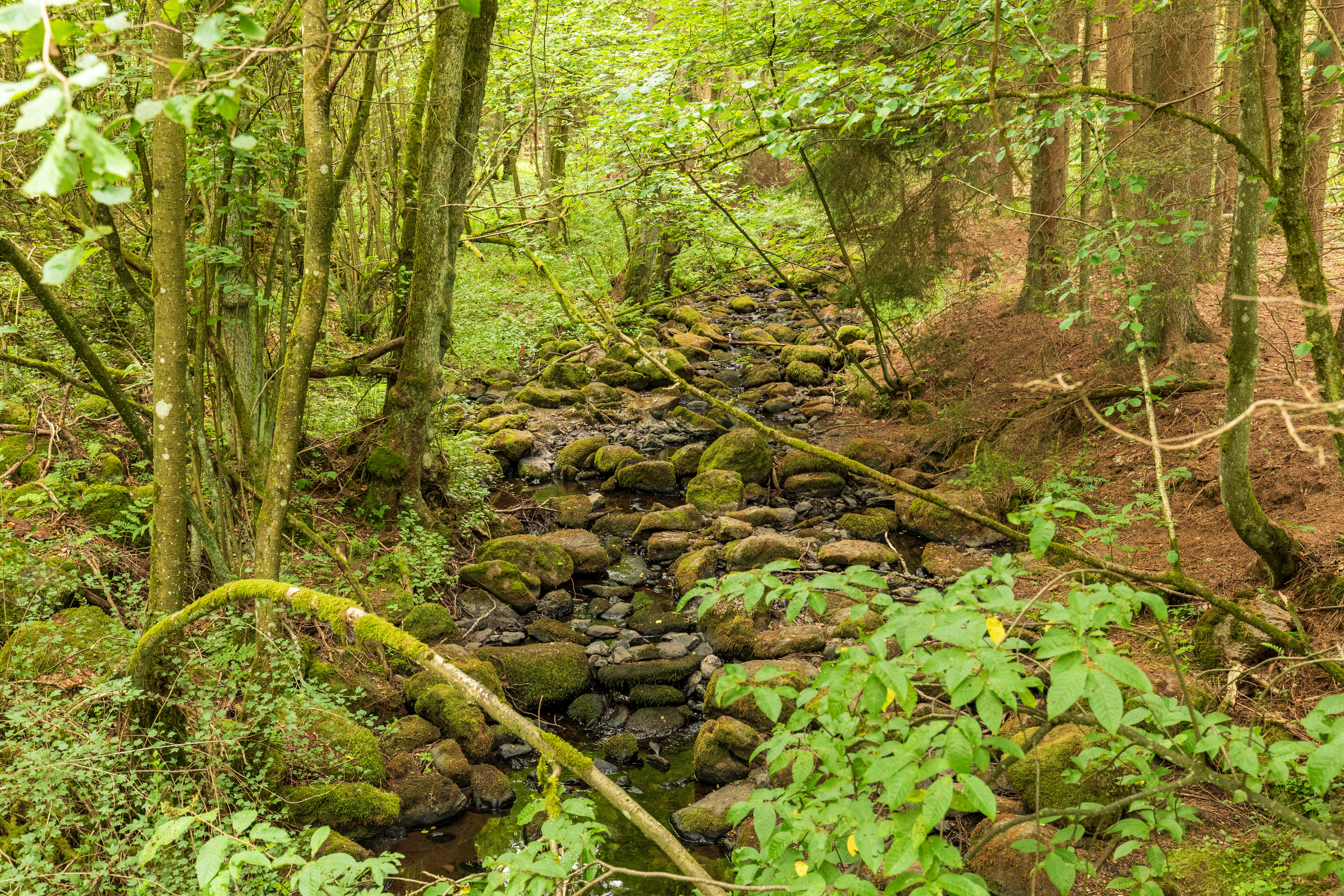
A small, narrow forest stream with mossy rocks and pebbles, surrounded by dense deciduous trees and greenery.
A small stream flowing through the forest in Rabenscheider Holz.

Rabenscheider Holz history and protected-area timeline

The site was formally placed under nature protection on 8 December 1994, when it was officially designated as the Naturschutzgebiet Rabenscheider Holz under the identifier 1532032. This designation recognized its combination of near-natural forest, traditional grassland, and stream valley within a landscape that had long supported low-intensity farming and grazing.

Historically, much of the southern part of the area was managed as communal pasture typical of the Westerwald region, used for grazing domestic sheep, goats, and cattle. This drove maintenance of the open habitats that are recorded within the reserve and shaped the open farmland-forest mosaic that characterizes the reserve today. Use of these pastures continued into the 1970s, and the long-term effects of this grazing are still visible in the meadow structures.

Withdrawal of most active economic use from the woodland allowed the retention of standing and fallen deadwood, which in turn supported a return of deadwood-dependent species. In 2013, a management plan was prepared for the larger FFH site "Hoher Westerwald," within which the reserve sits, outlining continued grazing of the grassland parcels as a core management measure to keep the open areas from being lost to succession.

Rabenscheider Holz landscape and geographic character

The landscape of Rabenscheider Holz is shaped by the high Westerwald upland terrain and the work of the Ketzerbach stream. The protected area wraps around the western and northwestern edge of the village of Rabenscheid, occupying sloping terrain that descends toward the stream valley. To the west, the national border with North Rhine-Westphalia runs along the Ketzerbach, while the southern boundary approaches the border with Rhineland-Palatinate, placing the reserve close to the meeting point of three German states.

The stream itself runs through a valley that in places takes on a distinctly gorge-like character, with steep wooded sides and a narrow floodplain. Above this valley the terrain flattens out into the gently rolling plateau typical of the Westerwald, a region of mixed farmland, meadows, and forest. State road L 3391 forms the eastern boundary of the reserve, separating it visually from the surrounding agricultural landscape and other nearby protected areas, including Waldaubacher Hecke bei Rabenscheid to the southeast.

Rabenscheider Holz ecosystems, habitats, and plant life

Ecologically, Rabenscheider Holz is a textbook example of the habitat mosaic associated with traditional upland cultural landscapes in central Germany. The forest component is dominated by mature deciduous woodland, with broadleaf species forming the canopy and a notable share of retained old trees. The deliberate or accidental retention of deadwood, both standing and fallen, creates important microhabitats within the forest and serves as the structural backbone for much of the reserve's forest biodiversity.

Around the fringe and within clearings of this woodland lies a network of open habitats: species-rich meadows, dry grassland, wet grassland, and traditional orchard meadows. These open areas host distinct plant communities that have largely disappeared from the more intensively cultivated wider landscape. The Ketzerbach valley adds a third ecological facet, with moist and riparian vegetation lining the stream and extending the habitat spectrum into cool, shaded woodland along the slopes.

Together, these features form a relatively complete ecological sequence: from dry grassland and orchard meadow on south-facing slopes, through mixed broadleaf forest on the plateau and slopes, into moist forest and stream-side habitat along the Ketzerbach. This diversity, compressed into a compact area, is what gives the reserve its particular ecological interest.

Rabenscheider Holz wildlife and species highlights

The wildlife communities of Rabenscheider Holz reflect the reserve's blend of mature broadleaf woodland and traditionally grazed open land. Forest-dwelling and deadwood-dependent species feature prominently. The black woodpecker (Dryocopus martius), a characteristic species of mature deciduous forest with large old trees, is recorded in the reserve, along with Tengmalm's owl (Aegolius funereus), a rare owl species strongly associated with old-growth forest structure.

The open meadows and grassland edges of the reserve support a more specialized set of invertebrates and grassland species documented for the area. Among butterflies, the dark green fritillary (Boloria selene) and the dusky large blue (Phengaris nausithous) have been recorded, the latter closely tied to traditional meadow management for the survival of its host ants and food plants. The large purple emperor (Apatura iris) is also noted, typically associated with broadleaf woodland edges and clearings.

Along the Ketzerbach valley, the reserve provides habitat for stream and wet-habitat species. The striped goldenring (Cordulegaster bidentata), a dragonfly tied to clean, small forest streams, has been recorded here, alongside the broader community of invertebrates and amphibians that depend on the cool, shaded watercourse. The combination of forest, meadow, and stream gives the reserve a layered wildlife profile that is unusual for so small a site.

Rabenscheider Holz conservation status and protection priorities

Conservation significance in Rabenscheider Holz rests on its role as a refuge for habitat types that are strongly reduced across the wider agricultural landscape of the Westerwald. The reserve protects a complete chain of near-natural broadleaf forest, wet meadow, dry grassland, and orchard meadow environments, all intertwined in a compact area that can be managed as a coherent system.

Its integration into the Natura 2000 network through the FFH site "Hoher Westerwald" (5314-301) and the European bird protection area "Hoher Westerwald" (5314-450) places it within a broader conservation framework for the upland Westerwald. The area is classified under IUCN Category IV, reflecting its function as a Habitat/Species Management Area, where targeted management is essential to maintain targeted habitats and species rather than being left to passive protection alone.

A management plan drawn up in 2013 for the FFH area defines the principal active measures for the reserve, focused on the continuation of grazing on open grassland parcels. This is essential to prevent succession from converting species-rich meadows and dry grassland into closed forest, a process that would erode the very habitat features that make the reserve valuable.

Rabenscheider Holz cultural meaning and human context

Rabenscheider Holz sits in a region where the cultural landscape of the Westerwald has long been defined by small-scale farming and communal land use. The southern parts of what is now the reserve were traditionally used as communal grazing land, supporting sheep, goats, and cattle, and this pattern shaped the open meadows and the patchwork of forest and pasture that survives, in fragmentary form, within the protected area today.

The persistence of orchard meadows, dry grassland, and wet grassland within the reserve reflects this pastoral heritage. Such features, once widespread across the Westerwald, have become unusual in the modern landscape as land use has intensified. The reserve therefore also carries a cultural memory of regional land use, preserved in the very habitat structures it protects.

Geographic position near the tri-state border of Hesse, North Rhine-Westphalia, and Rhineland-Palatinate adds another layer of regional identity. The landscape around the Dreiländereck has historically been a transitional zone between distinct regional land-use traditions, and the reserve sits within this transitional cultural geography.

Top sights and standout views in Rabenscheider Holz

Rabenscheider Holz is notable for compressing a full suite of Westerwald habitats, including mature deciduous forest, species-rich meadow, dry grassland, wet grassland, orchard meadow, and a gorge-like stream valley, into a compact landscape of just over 57 hectares.

Its particular strengths are the retention of old trees and deadwood in the broadleaf forest, the survival of culturally rooted grassland communities shaped by traditional grazing, and the inclusion of the Ketzerbach valley as a habitat backbone. Membership in the larger Natura 2000 sites "Hoher Westerwald" extends the reserve's importance beyond its own borders.

Best time to visit Rabenscheider Holz

The character of Rabenscheider Holz changes meaningfully with season. Late spring and early summer bring the flowering of many grassland plants and woodland herbs, including species such as the spring snowflake, globeflower, and early purple orchid that have been recorded in the reserve, making this a strong period for observing the botanical richness of the meadows and forest edges.

Midsummer offers the richest display of insects and butterflies in the meadows and along the stream, with many of the reserve's notable butterfly and dragonfly species most active in warm, settled weather. Late summer and early autumn typically provide opportunities to observe the forest wildlife, including woodland birds such as the black woodpecker, when activity concentrates near mature trees and along edges. Winter visits can highlight the reserve's structural qualities, including the deadwood, old trees, and gorge-like stream profile.

Monthly climate preview

Long-term representative records of monthly temperature and precipitation for Rabenscheider Holz

Rabenscheider Holz Climate Normals and Measured Annual Temperature Patterns

Representative coordinate data reveals measured long-term temperature ranges and daily precipitation averages spanning all twelve months at Rabenscheider Holz. Examining the complete monthly climate profile provides deeper analytical context on annual meteorological patterns.
Annual mean9 °C
0 °C19 °C
Jan
Feb
Mar
Apr
May12°
Jun16°
Jul19°
Aug18°
Sep14°
Oct
Nov
Dec
Warmest month
July

18.5 °C

Coolest month
January

-0.4 °C

Wettest month
December

2.5 mm/day

Driest month
April

1.6 mm/day

Park location guide

Geography guide, regional context, and park location map for Rabenscheider Holz

Rabenscheider Holz park geography, regions, and map view in Germany

Understand where Rabenscheider Holz sits in Germany through a broader geographic reading of the surrounding landscape, nearby location context, and its mapped position within the national park landscape.

How Rabenscheider Holz fits into Germany

Germany is a federal republic in Western and Central Europe with a population of over 83 million across sixteen constituent states. It is Europe's largest economy by nominal GDP and a major global exporter and importer. The capital is Berlin, and the country borders Denmark, Poland, Czech Republic, Austria, Switzerland, France, Luxembourg, Belgium, and the Netherlands.

Wider geography shaping Rabenscheider Holz in Germany

Germany is located in Western and Central Europe, spanning 357,022 km². It borders Denmark to the north, Poland and the Czech Republic to the east, Austria and Switzerland to the south, and France, Luxembourg, Belgium, and the Netherlands to the west. The country has coastlines on the Baltic Sea and North Sea to the north, with the Alps located in the southern region.

Map view of Rabenscheider Holz

Use this park location map to pinpoint Rabenscheider Holz in Germany, understand its exact geographic position, and read its mapped placement within the surrounding landscape more clearly.

Pigeon | © OpenStreetMap contributors

Location context for Rabenscheider Holz

Hessen

Explore detailed imagery of mature deciduous forests, upland terrain, and stream valley habitats.

Rabenscheider Holz Photos and Scenery: Visualizing the Protected Landscape

Visual records reveal the diverse terrain and vegetation structures that define Rabenscheider Holz, showcasing mature broadleaf woodlands alongside traditionally managed grasslands. Photographic documentation provides deeper insight into the protected landscape features and valley habitats preserved within the upland Westerwald region.

A small, narrow forest stream with mossy rocks and pebbles, surrounded by dense deciduous trees and greenery.

Park atlas

Compare adjacent Westerwald nature reserves and connected regional habitats.

Explore Other Parks Near Rabenscheider Holz and Surrounding Protected Landscapes

Browsing other protected areas near Rabenscheider Holz reveals matching upland forest ecosystems and traditional grassland corridors across the region. Extending the geographic review provides deeper context on neighboring terrain features and regional conservation networks.
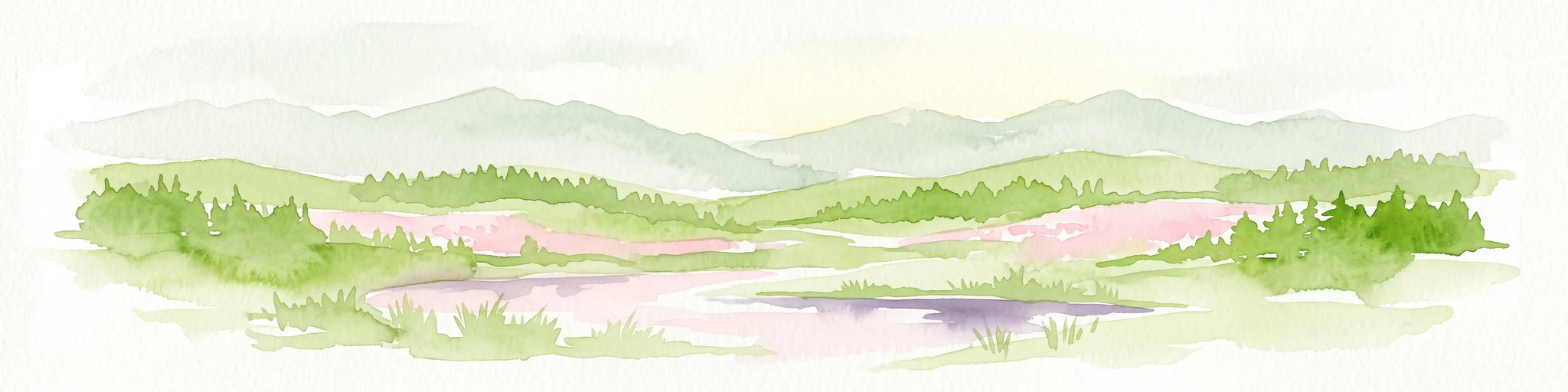
A horizontal watercolor painting depicting a soft, impressionistic landscape with rolling hills in the background and a line of green trees and meadow in the foreground.
Nature reserveHessen
About 2.2 km away#1 closest

South

Feuerheck bei Waldaubach Nature Reserve: Upland Forest and Habitat Geography in Hessen

Protected broadleaf woodland landscapes and high-elevation habitat patterns.

Located in the German central highlands of Hessen, Feuerheck bei Waldaubach stands as a meticulously protected 24-hectare nature reserve. The site features a sophisticated interplay of deciduous woodland and moist meadow clearings, driven by high annual rainfall and varied soil conditions. This atlas entry provides essential data on the reserve's topography, forest management status, and its role as a key habitat for specialized invertebrates and woodland birds.

Area
0.244 km²
Established
1984
IUCN
IV
A soft, painterly watercolor illustration of a rolling green landscape with a gentle stream or wetland area in the foreground and rounded hills in the background.
Nature reserveHessen
About 2.3 km away#2 closest

East

Aubachtal bei Rabenscheid Nature Reserve: Mapped Geography and Protected Area Data

A primary stream-valley habitat within the Hessen region

Aubachtal bei Rabenscheid offers a detailed look at a high-quality nature reserve in the Lahn-Dill-Kreis area of Hessen. The landscape is defined by the narrow valley of the Aubach, which supports a complex mosaic of wet meadows, alder swamp woodlands, and sedge mires. This site functions as a significant ecological refuge, contributing to the broader European network of protected areas through its distinct biodiversity and clean-water stream ecosystems.

Area
0.63 km²
Established
1984
IUCN
IV
Relief
Upland
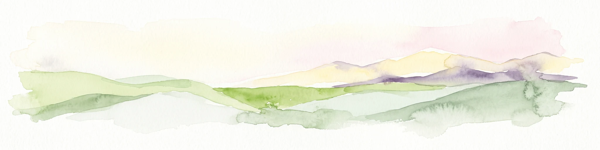
A soft watercolor painting showing green rolling hills in the foreground and faded purple and yellow mountain silhouettes against a white background.
Nature reserveRhineland-Palatinate
About 3.4 km away#3 closest

Southwest

Fuchskaute Nature Reserve: Topographic Atlas and Protected Landscape Overview

Highland basalt summit of the Westerwald range in Rhineland-Palatinate

Fuchskaute represents a primary geographic landmark and nature reserve in the Hoher Westerwald. The site features an ancient, erosion-resistant basalt cap that supports rare upland heaths and species-rich meadows, distinct from the surrounding Devonian sediments. Our atlas data tracks its complex overlapping conservation status and provides a clear view of its summit plateau and surrounding hydrographic networks.

Area
0.402 km²
Established
1984
Relief
Mountain
Climate
Temperate
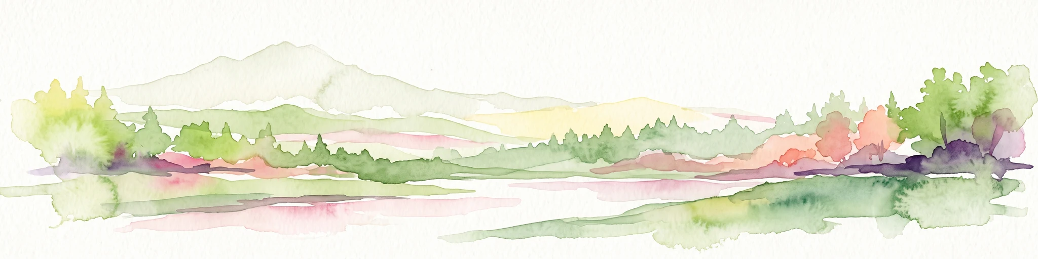
Watercolor painting of a soft, hazy landscape featuring gentle green hills, clusters of trees, and open fields against a white background.
Nature reserveHessen
About 4.1 km away#4 closest

South

Bermershube bei Heisterberg Protected Area: Geography and Landscape Atlas

Nature reserve in the Hoher Westerwald region of Hessen

Located in the Lahn-Dill district, Bermershube bei Heisterberg represents a concentrated mosaic of upland natural features. The protected landscape combines deciduous slope forests with spring-fed wetlands and meadows, creating an essential ecological corridor within the Hoher Westerwald plateau. Detailed geographic insights reveal the interplay between the Amdorf brook drainage and the surrounding undisturbed forest ecosystems.

Area
0.449 km²
Established
1984
IUCN
IV
Relief
Upland
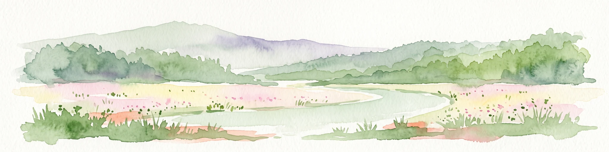
A horizontal watercolor painting depicting a soft, green landscape with a winding stream through a flowery meadow and forested hills in the background.
Nature reserveHessen
About 5.5 km away#5 closest

South

Die Heck bei Hohenroth Nature Reserve: Hessen Protected Forest and Geography

High-elevation woodland habitats in the Hoher Westerwald

Located in the Lahn-Dill district, Die Heck bei Hohenroth provides a specialized look at Mittelgebirge ecology. The reserve functions as a node within European conservation networks, protecting a mosaic of wet and dry forest patches that support rare lichens, fungi, and native bird populations across its rolling upland terrain.

Area
0.204 km²
Established
1998
IUCN
IV
Watercolor painting of a soft, hazy landscape featuring rolling green hills, distant mountains, and water in the foreground.
Nature reserveWesterwaldkreis
About 6.2 km away#6 closest

Southwest

Breitenbachtalsperre Nature Reserve: Geography and Protected Habitat Mapping in Westerwaldkreis

Managed wetland and reservoir landscape in western Germany

Breitenbachtalsperre protects an important reservoir ecosystem, including shallow margins and wet meadows near Waigandshain. This nature reserve provides a focused look at habitat management in the Westerwald, where stream-fed waters sustain diverse plant societies and wildlife in a compact, protected basin.

Area
0.47 km²
Established
1988
IUCN
IV
Protected areaNordrhein-Westfalen
About 8.7 km away#7 closest

Northwest

Wälder und Wiesen bei Burbach und Neunkirchen: Protected Area and Regional Geography

High Westerwald upland forests and mountain meadow mosaic

Situated across the tri-border area of North Rhine-Westphalia, this protected zone sustains a rare habitat combination of beech-dominated slopes and extensive montane grasslands. The basalt-influenced terrain supports specialized bird breeding populations, making the area a distinctive feature within the broader context of the central German uplands.

Area
46.546 km²
Established
2001
Relief
Upland
Climate
Temperate
Nature reserveRheinland-Pfalz
About 8.8 km away#8 closest

South

Wacholderheide bei Westernohe Nature Reserve Protected Area Atlas and Geographic Map Context

Juniper heathland mosaic in the German Westerwald region

Spanning 14 hectares, Wacholderheide bei Westernohe acts as a vital protected pocket of open heathland framed by dense spruce forests. The reserve supports a specialized community of arnica, common heather, and juniper, sustained by decades of consistent grazing and mechanical mowing that define its unique regional character.

Area
0.14 km²
Established
1967
IUCN
IV

Common questions about visiting, size, designation, and location context for Rabenscheider Holz

Rabenscheider Holz FAQs for park facts, access, geography, and protected area context

Find quick answers about Rabenscheider Holz, including protected-area facts, park geography, trail and visitor context, and how the park fits into its surrounding country and regional landscape.
MoriAtlas Explorer

Continue Your Protected Areas Search Across the Global Atlas

Deepen your exploration by continuing the structured search for national parks and protected areas worldwide. Utilize the comprehensive filtering capabilities to compare different conservation landscapes and refine your understanding of global park geography. Discover more about the distribution and characteristics of protected natural areas.

Global natural geography