
Tracing the interplay of coastal tidal flats, marine shorelines, and protected forest stands
Natural Features and Geographic Landmarks of Rathtrevor Beach Provincial Park in Canada
This collection provides a structured look at the named natural features associated with Rathtrevor Beach Provincial Park on Vancouver Island. Examine the geographic context of the park, including its signature two-kilometre sandy beach, extensive intertidal zones along the Strait of Georgia, and the rare old-growth Douglas fir forest terrace. The data highlights how these diverse landforms and aquatic environments define the regional landscape and ecological character of this protected area.
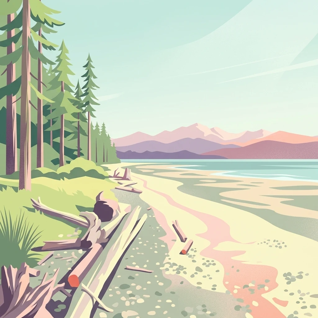
Read Rathtrevor Beach Provincial Park through beaches, coast, and coastal forest
Lowland beach, coast, and forest records in Rathtrevor Beach Provincial Park
Marine atlas and shoreline landscape context
Islands
Explore the specific islands that define the horizon and marine boundaries of Rathtrevor Beach Provincial Park. This dataset provides a structured look at the landforms shaping the Strait of Georgia shoreline.
Coastal waterway mapping and landform analysis.
Straits
Review the specific maritime features associated with the Rathtrevor Beach Provincial Park coastline. This spatial data explores how the Strait of Georgia creates the park extensive tidal flats, connecting the terrestrial forested bluffs to the open coastal waters of eastern Vancouver Island.
Explore the Geographic Details of Rathtrevor Beach Provincial Park
Trace the diverse terrain of this British Columbia protected area through mapped boundaries and topographic insights. Gain a deeper understanding of the park's coastal transition from tidal flats to old-growth forest with the comprehensive MoriAtlas geography database.