
Why Rechtebachtal bei Georgenborn stands out
Rechtebachtal bei Georgenborn is best known for protecting a near-natural section of the Rechtebach stream and its adjoining mosaic of meadows and woodland in the Rheingau foothills of the Taunus. The reserve is valued for maintaining a small but ecologically coherent stream valley that supports rare and threatened flora and fauna in a heavily used cultural landscape. The two-part configuration of the protected area, separated by land outside the reserve, gives the site a characteristic fragmented footprint along the watercourse. Together with the broader network of small nature reserves in the Rheingau-Taunus district, it contributes to preserving the ecological character of the Vortaunus valleys draining toward the Rhine.
Rechtebachtal bei Georgenborn history and protected-area timeline
The history of Rechtebachtal bei Georgenborn as a protected area began on 3 December 1986, when a 35.18-hectare area spanning the cadastral districts of Georgenborn, Martinsthal, and Frauenstein was temporarily safeguarded for three years with the intent of formal nature reserve designation. On 21 November 1989, a smaller area of about 18.48 hectares, excluding the Frauenstein parcels, was officially designated as the Naturschutzgebiet Rechtebachtal bei Georgenborn.
This sequence of interim safeguarding followed by final designation reflects a common pattern in German nature conservation practice, allowing time for boundary adjustments and consultation. The removal of the Frauenstein portion narrowed the reserve but allowed the remaining sections along the Rechtebach near Georgenborn and Martinsthal to be consolidated into a more focused protection framework. The reserve is still listed among the nature reserves of the Rheingau-Taunus district, which includes numerous other small protected sites characteristic of this part of Hesse.
Rechtebachtal bei Georgenborn landscape and geographic character
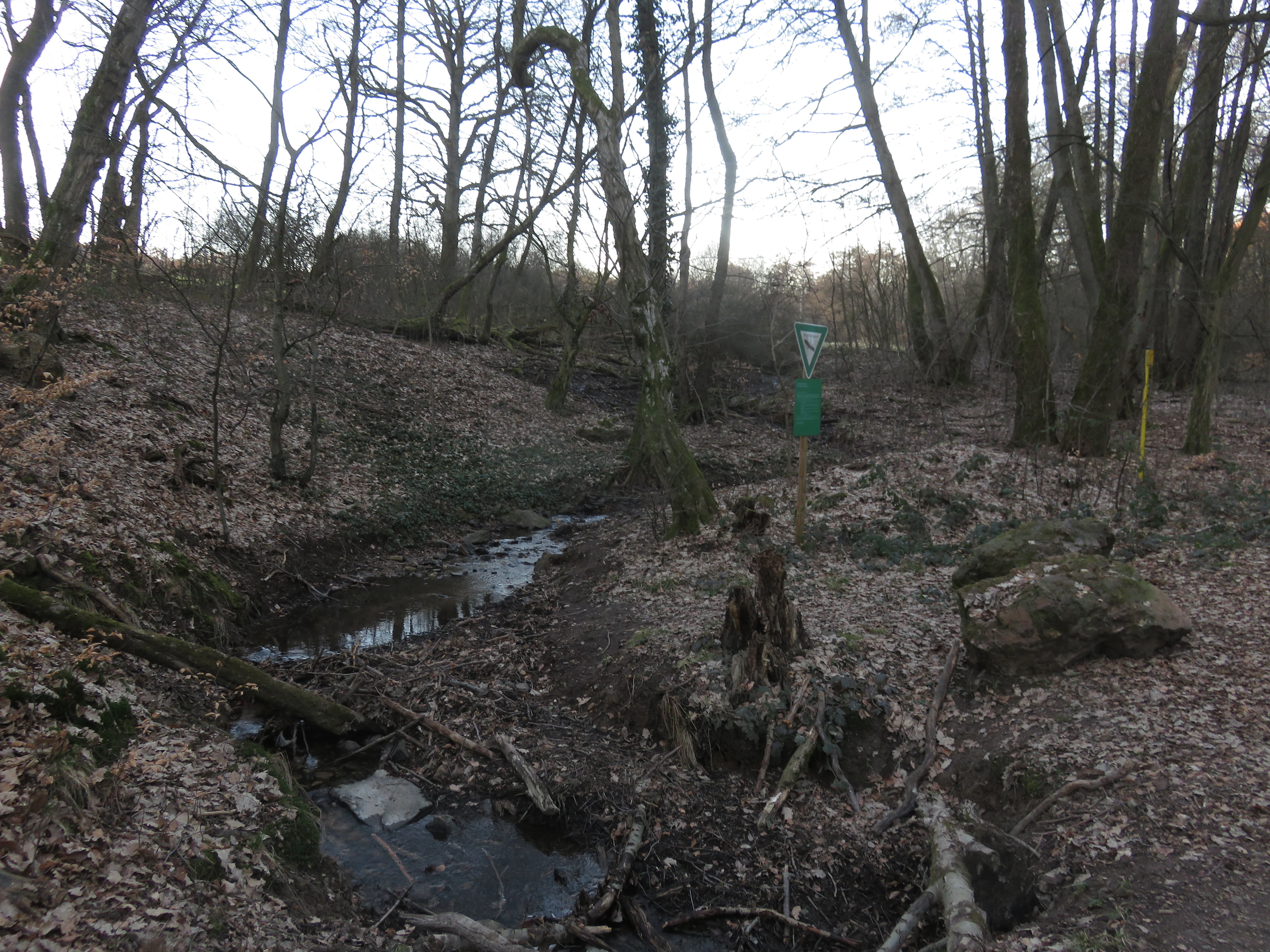
The landscape of Rechtebachtal bei Georgenborn is defined by a modestly winding stream valley cut into the western foothills of the Taunus. The Rechtebach flows generally southward through a shallow valley framed by forested slopes and interspersed with open meadows, creating a classic Vortaunus valley profile. Elevations within the reserve range from roughly 200 to 380 meters above sea level, marking a transition between the cooler hill slopes of the Taunus and the warmer, lower Rheingau terrain near the Rhine.
Surrounding land use reflects the broader character of the Rheingau-Taunus district: mixed woodland on steeper slopes, agricultural and vineyard land on flatter ground, and small villages such as Georgenborn and Martinsthal linked by country roads and trails. The long-distance Rheinsteig hiking trail crosses the northern part of the reserve, offering elevated views over the stream and meadow sections. Just outside the protected area, the Friedwald "Terra Levis" memorial forest and the source area of the Erlenbach add further landscape texture, underlining the valley's role as a quiet ecological corridor within an otherwise culturally shaped region.
Rechtebachtal bei Georgenborn ecosystems, habitats, and plant life
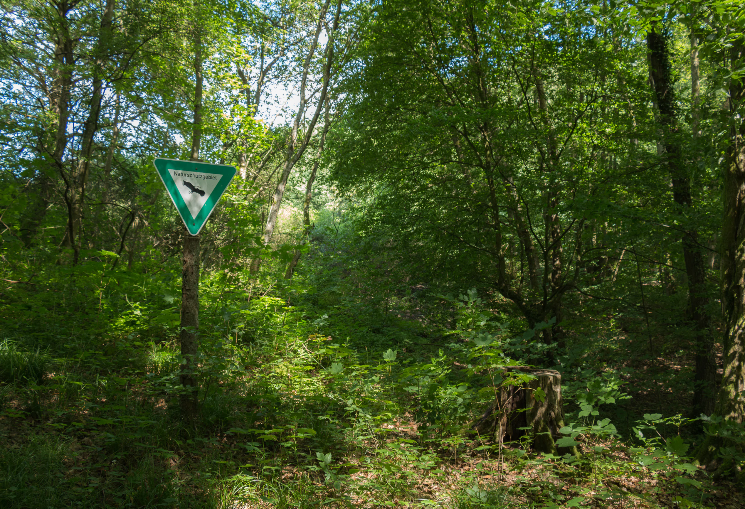
Ecologically, Rechtebachtal bei Georgenborn preserves a near-natural stream and the habitat mosaic that depends on it, including adjacent grassland and woodland patches. The reserve's purpose is explicitly framed around maintaining this integrated environment as a refuge for rare and threatened plant and animal species, rather than focusing on a single habitat type.
Because the protected area is split into two sections along the same watercourse, it captures complementary stretches of valley habitat. Meadows south-east of Georgenborn and forested slopes elsewhere in the reserve contribute different microhabitats within a single connected system. The stream corridor itself provides the hydrological backbone of the site, supporting wet-margin vegetation and the invertebrate and animal communities that depend on flowing water in an otherwise dry, summer-warm Rheingau climate.
Rechtebachtal bei Georgenborn conservation status and protection priorities
The principal conservation objective at Rechtebachtal bei Georgenborn is to preserve the near-natural course of the Rechtebach together with the surrounding grassland and forest areas as habitat for rare and endangered species. By protecting both the aquatic environment and its adjoining terrestrial habitats, the reserve aims to maintain the ecological integrity of a small stream valley that would otherwise be vulnerable to fragmentation, encroachment, and changes in land use in this densely settled part of the Rheingau.
The designation as a formal Naturschutzgebiet under Hessian law gives the area long-term protection and aligns it with the broader national strategy of safeguarding representative habitats outside formal national parks. Within the Rheingau-Taunus district the reserve forms one node in a larger network of small protected sites, contributing to the persistence of characteristic valley ecosystems in the Vortaunus.
Rechtebachtal bei Georgenborn cultural meaning and human context
The Rechtebachtal lies within a culturally rich region that has long been shaped by viticulture, settlement, and trade between the Taunus and the Rhine. The villages of Georgenborn and Martinsthal, which give the reserve much of its geographic identity, are long-established communities of the Rheingau, an area historically devoted to wine production and small-scale agriculture. The presence of nearby features such as the Friedwald "Terra Levis" memorial forest and routes like the Rheinsteig trail reflects the modern layering of conservation, recreation, and traditional land use in this part of Hesse.
Top sights and standout views in Rechtebachtal bei Georgenborn
The reserve protects two sections of the Rechtebach stream near Georgenborn and Martinsthal, maintaining a near-natural valley corridor between roughly 200 and 380 meters above sea level. It safeguards both meadow and woodland habitat along the watercourse, supporting rare and threatened species in a region dominated by vineyards and settlements. The site is crossed by the Rheinsteig long-distance trail, linking a small conservation area to the wider hiking network of the Rheingau and Taunus.