
Mapping the Absaroka, Beartooth, and Wind River mountain landscapes and associated terrain
Geographic Atlas and Named Natural Features of Shoshone National Forest in Wyoming
This collection catalogs the named natural features associated with Shoshone National Forest, ranging from the ancient granite of the Wind River Range to the volcanic ridges of the Absaroka Mountains. Explore geographic data on peaks, river systems, and glacial formations that define this historic protected landscape within the Greater Yellowstone Ecosystem. Gain insights into the complex topography and diverse landforms that span over two million acres of rugged mountain wilderness.
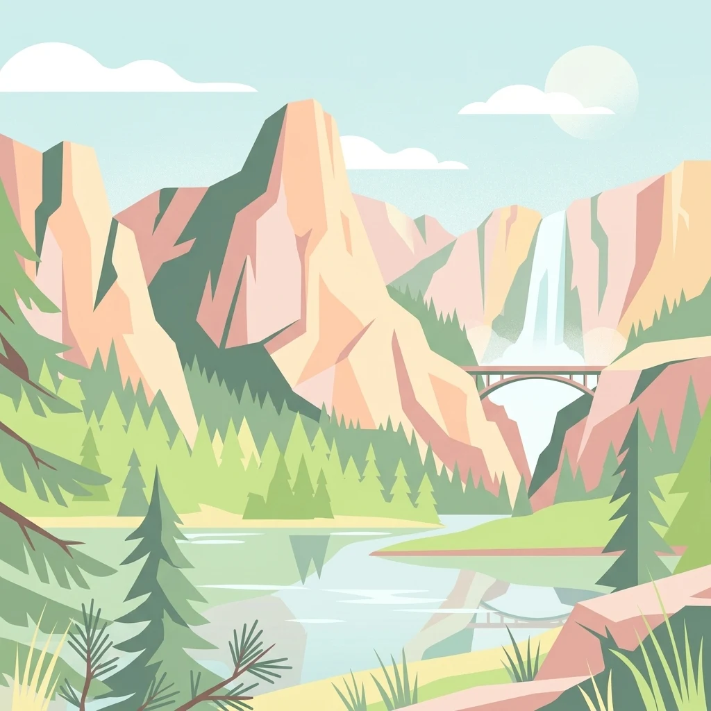
Map Shoshone National Forest features across valleys, glaciers, caves, lakes, and rivers
Volcanic mountain, glacier, cave, lake, river, and wetland records in Shoshone National Forest
Regional mountain systems and highland terrain mapping.
Mountain ranges
Review the specific mountain ranges associated with Shoshone National Forest. This structured set highlights the geological variety of the Absaroka, Beartooth, and Wind River ranges while providing mapped context for the highland terrain of this historic national forest.
Explore the Mapped Geography and Protected Terrain of Shoshone National Forest
Navigate the complex landscape and ecological significance of Shoshone National Forest through our detailed geographic data. Learn how this foundational protected area anchors the Rocky Mountains and the Greater Yellowstone Ecosystem for deeper atlas exploration.