
Analyzing the diverse geological formations, volcanic cones, and geothermal landscape elements
Geographic Collection of Named Natural Features in Timanfaya National Park, Lanzarote
This geographic collection documents the named natural features associated with Timanfaya National Park, including significant volcanic cones, expansive lava fields, and geothermal activity areas. Through this curated atlas, users can examine the geological diversity of these protected landscapes, tracing how historical eruptive events shaped the terrain of the Canary Islands. The data focuses on landforms within and immediately surrounding the park boundaries to provide a comprehensive look at this unique volcanic environment.
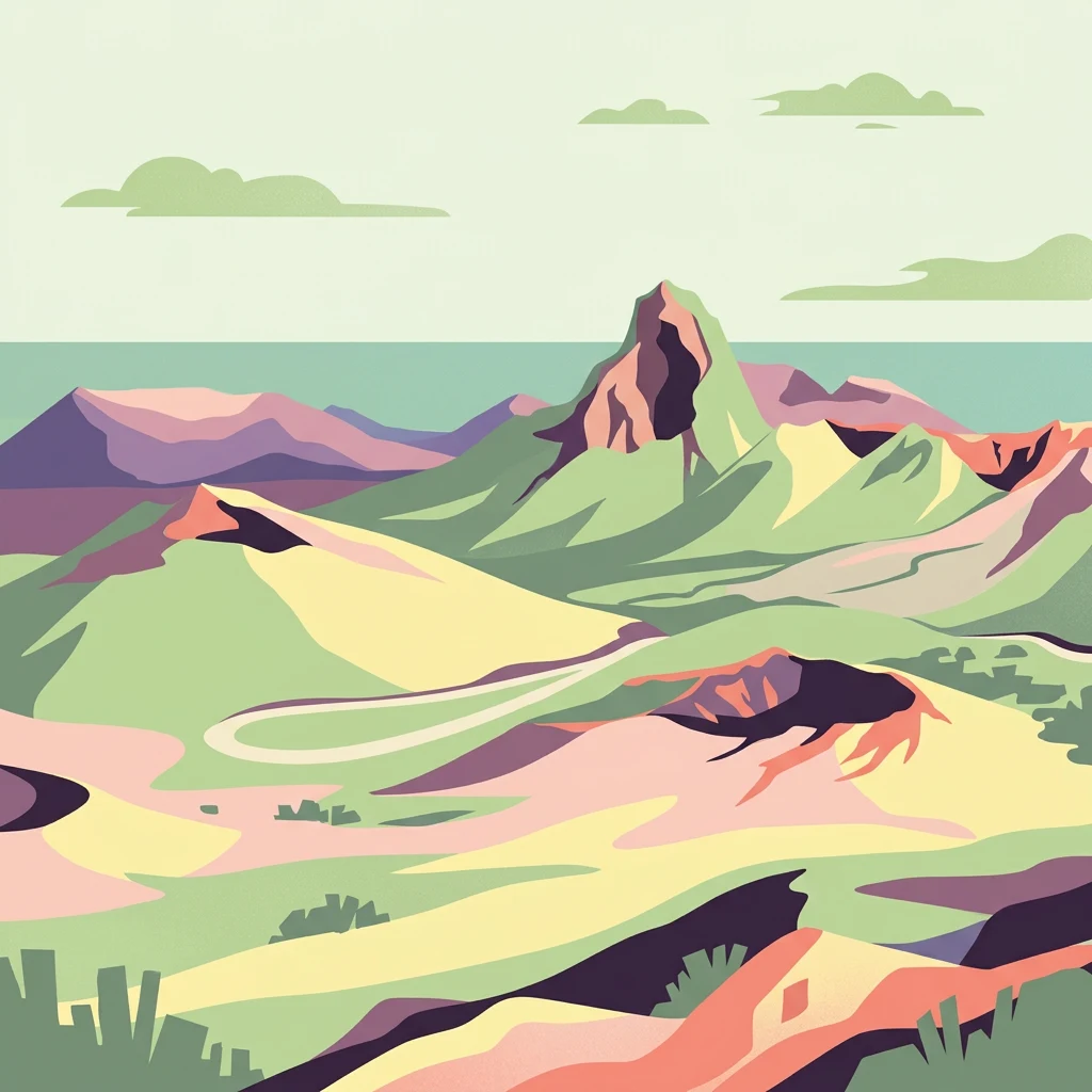
Relate Timanfaya National Park records to volcanic terrain without unsupported feature claims
Volcanic mountain feature records across the treeless terrain of Timanfaya National Park
Geographic analysis of volcanic coastal sediment zones.
Beaches
Examine the distribution and physical characteristics of shore zones identified within Timanfaya National Park. This record focuses on the sediment composition and coastal morphology shaped by the interaction between historical volcanic flows and marine processes across the Lanzarote coastline.
Continue Exploring Timanfaya National Park's Volcanic Geography and Protected Landscape
Delve deeper into the unique atlas context of Timanfaya National Park, a protected area defined by its extraordinary volcanic terrain and ongoing geothermal activity. Understanding its mapped boundaries and landscape character provides essential geographic insight into the Canary Islands' natural heritage. Discover the specific geological narratives that make this national park a significant landmark for regional exploration and protected area study within the MoriAtlas platform.