
Mori Atlas logo
Park guides

Explore diverse landscape insights, ranging from glacial ridge ecology to seasonal visit timing

Utrechtse Heuvelrug National Park: Curated Collection of Regional Discovery Guides

Access focused informational resources regarding the glacial push moraine and protected heathlands of Utrechtse Heuvelrug National Park. This index brings together published perspectives on terrain characteristics and seasonal factors influencing natural landscape appreciation.

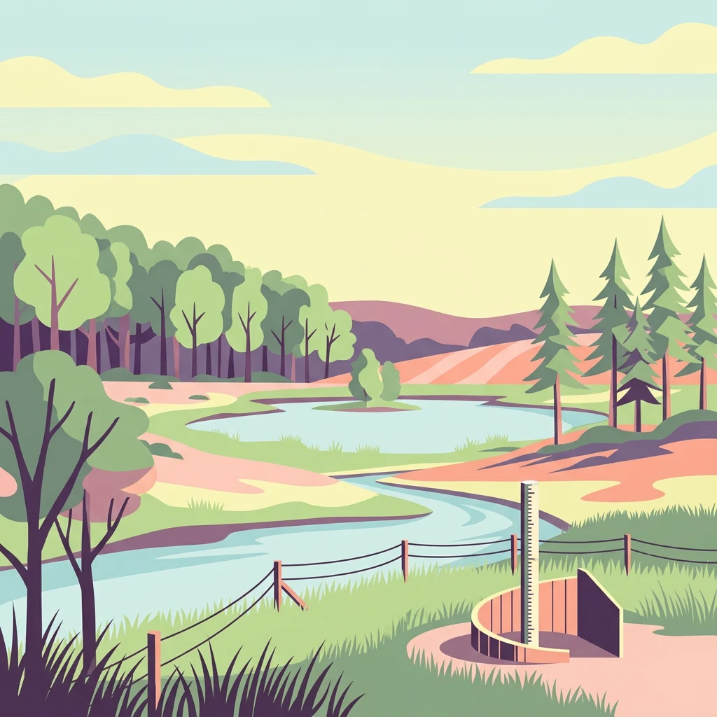
Stylized illustration of a river flowing through a forested landscape with a wooden observation structure, fence, and rolling hills

A glacial ridge nature reserve protecting the Netherlands' second-largest forest area

Utrechtse Heuvelrug National Park

Utrechtse Heuvelrug National Park occupies a unique position in Dutch conservation as the protector of the Utrecht Hill Ridge, a geological formation that rises from the surrounding flat landscape of the western Netherlands. The park's establishment in 2003 marked a significant step in preserving the natural and cultural values of this region, which had faced increasing pressure from urban development and habitat fragmentation. The 2013 expansion, which added 4,000 hectares north of the A12 highway through the construction of the Mollebos ecoduct, transformed the park into a truly connected landscape spanning from the Gelderse Vallei to the Rhine floodplains. The park sits within a broader regional vision called 'Heel de Heuvelrug' (Whole Utrecht Ridge), which aims to eventually protect the entire ridge from Gooimeer to the Grebbeberg. Unlike many Dutch national parks, Utrechtse Heuvelrug lacks formal planological status, relying instead on collaborative management among landowners, conservation organizations, and government bodies to achieve protection goals. This cooperative approach has enabled the removal of fencing, the creation of wildlife corridors, and the restoration of natural processes across a landscape shaped by centuries of human use including forestry, agriculture, and country estate development.

Location
Netherlands
Park type
National park
Established
2003
Area
100 km²
Utrechtse Heuvelrug National Park Atlas
1 guide

Compare thematic resources and select guides addressing specific visit questions

Published Guides for Utrechtse Heuvelrug National Park and Regional Exploration

Browse all currently published reference materials dedicated to Utrechtse Heuvelrug National Park and its surrounding protected landscapes. Each focused article covers essential topics like seasonal timing for hiking, cycling, and observing changing forest colors.
MoriAtlas Explorer

Continue Exploring Utrechtse Heuvelrug National Park's Mapped Geography

Delve deeper into the structured geographic data of Utrechtse Heuvelrug National Park. Understand its unique place within the Utrecht Province landscape, trace its protected boundaries, and discover how this mapped terrain contributes to the broader atlas of Dutch protected areas. MoriAtlas provides the context for appreciating this significant natural heritage.