
Mori Atlas logo
Park guides

Plan dry-season trails with access and security in view

Virunga National Park visit-planning guide for seasonal forest conditions

Use Virunga National Park's guide to identify drier trekking periods while keeping current conditions central. Its timing advice highlights June through August and December through January for clearer forest trails and better visibility, but requires travelers to verify park access and security before making plans.

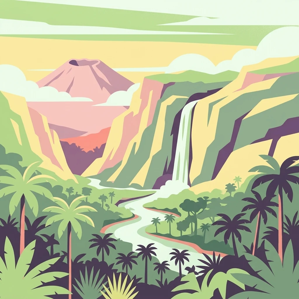
Stylized illustration showing a waterfall, mountains, palm trees, and a river in a tropical landscape

Africa's oldest national park protecting mountain gorillas and active volcanoes in the Albertine Rift

Virunga National Park

Virunga National Park occupies a remarkable position in eastern Democratic Republic of Congo, stretching roughly 300 kilometers north to south along the international borders with Uganda and Rwanda. The park was created in 1925 as the continent's first national park and has evolved to become one of Africa's most ecologically significant protected areas. Its geography is extraordinarily varied, encompassing the Rwenzori Mountains in the north with their glacial peaks, the volcanic Virunga massif in the south featuring two of Africa's most active volcanoes, and extensive wetlands and savanna plains surrounding Lake Edward in the central sector. The park is bounded to the north by the Puemba River and to the south by Tchegera Island in Lake Kivu. Three active volcanoes, Nyiragongo, Nyamuragira, and Mount Mikeno, dominate the southern landscape, with Nyiragongo hosting a permanent lava lake that has captivated scientists and visitors alike. The park's administrative center is located in Rumangabo, and the Mount Mikeno Hotel serves as a key tourism facility in the southern sector. Virunga's location in the Albertine Rift, the western branch of the East African Rift System, accounts for its exceptional biodiversity and endemism, with the Rift's mountains and valleys creating diverse microhabitats that support species found nowhere else on Earth.

Location
Democratic Republic of the Congo
Park type
National park
Established
1925
Area
7,800 km²
Virunga National Park Protected Landscape
1 guide

Compare topic-led guides focused on seasonal trekking windows and park access.

Virunga National Park Published Guides Collection and Visitor Planning Resources

This collection provides published guides addressing specific visitor questions and seasonal trekking conditions for Virunga National Park. Each resource helps travelers evaluate optimal dry-season windows and verify essential trail access requirements before planning.
MoriAtlas Explorer

Continue Exploring Virunga National Park's Mapped Geographic Context

Deepen your understanding of Virunga National Park's unique protected landscape by exploring its detailed geographic context and mapped boundaries. Discover how its diverse terrain, from volcanic craters to glacial mountains, contributes to its status as a critical habitat within the Albertine Rift. This comprehensive approach reveals the intrinsic geographical value of the park and its surrounding regions for atlas-based discovery.