
Mori Atlas logo
Park guides

Time Niger River wildlife around heat and annual rains

W National Park seasonal visit-planning guide for its protected Niger setting

Use W National Park's guide to plan wildlife observation around temperature and animal movement. Its advice favors December through February for manageable weather and predictable wildlife near the Niger River, while contrasting those cooler, drier months with the intense heat and humidity that build before annual rains.

Related tags

Transborder Protected AreaUNESCO World Heritage SiteRamsar WetlandSavanna EcosystemElephant Habitat

Transborder savanna sanctuary spanning Niger, Benin, and Burkina Faso around the distinctive W-shaped Niger River meander

W National Park

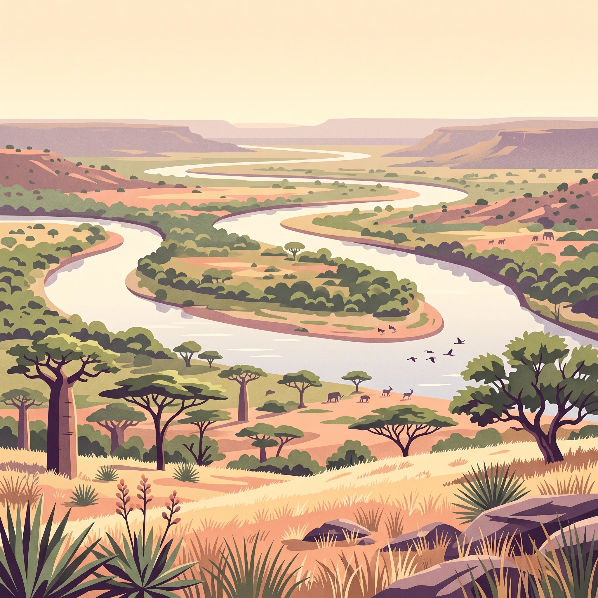
W National Park represents one of West Africa's most important transboundary conservation achievements, encompassing a remarkable river landscape where the Niger River curves into a pronounced W-shaped meander that gives the protected area its distinctive name. The park spans the borders of three Sahelian nations, creating a unified conservation landscape of approximately 10,000 square kilometers that transcends political boundaries to protect shared ecological heritage. The terrain combines wetland ecosystems formed by the Mékrou River delta with drier savanna areas broken by rocky hills, creating a mosaic of habitats that supports remarkable biodiversity. Historically, the area was a major zone of human habitation, evidenced by significant archaeological sites including ancient tombs discovered throughout the region. The park's creation in 1954 established one of the first transborder protected area frameworks in Africa, and its subsequent designation as a UNESCO World Heritage Site in 1996 recognized its outstanding universal value as both a natural and cultural landscape.

Location
Niger
Park type
National park
Established
1954
Area
10,000 km²
W National Park National Park Atlas
MoriAtlas Explorer

Continue Exploring W National Park's Mapped Landscape and Regional Geography

Delve deeper into the geographic context of W National Park, understanding its role as a protected landscape straddling the Niger River's dramatic bend. Examining its mapped boundaries and regional setting provides essential insights into its conservation significance. Use this atlas entry to further your understanding of this unique transborder natural area and its role within West African geography.

Global natural geography