
Mori Atlas logo
Park guides

Explore detailed resources for timing your visit to the granite cliffs and alpine landscapes

Curated Guide Collection for Yosemite National Park in the Sierra Nevada Mountains

This collection of focused guides provides essential context for exploring the granite monoliths, glacial valleys, and subalpine meadows of Yosemite National Park. Navigate through curated information regarding seasonal conditions and peak access to the high country to inform your understanding of this significant California protected area.

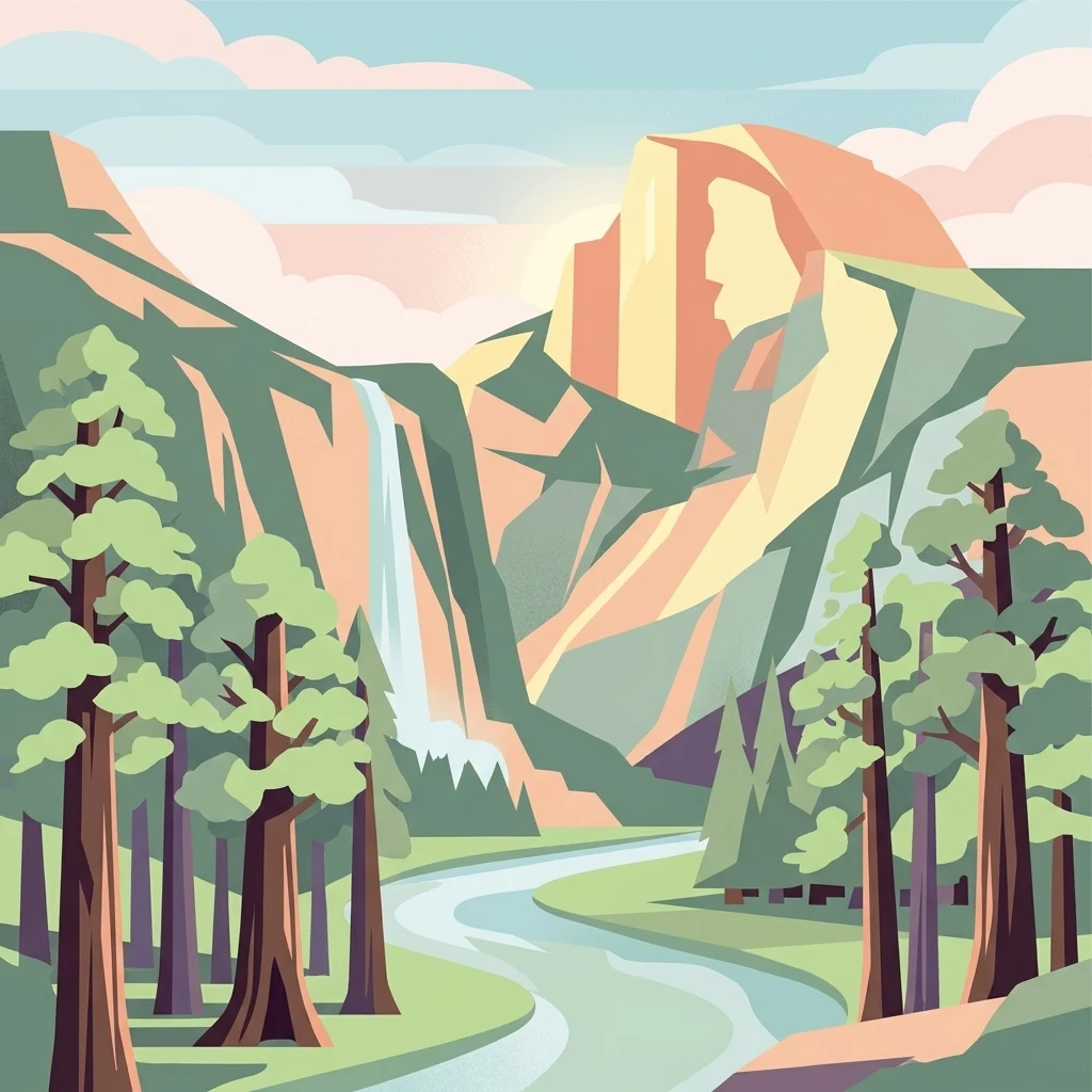
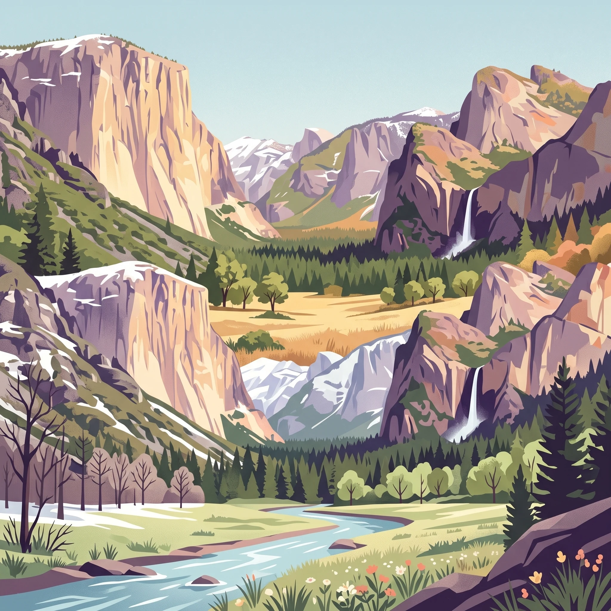
Stylized illustration of a mountain with a waterfall, forest, and river in a scenic landscape

Iconic Sierra Nevada wilderness of granite cliffs, waterfalls, and ancient giant sequoia groves

Yosemite National Park

Yosemite National Park stands as one of the most significant protected areas in the United States, preserving a remarkable slice of the Sierra Nevada ecosystem that has shaped both American conservation history and the world's understanding of wild landscapes. The park's identity is defined by its extraordinary concentration of natural wonders: granite cliffs that rise thousands of feet above meadows and forests, waterfalls that plummet from hanging valleys, and ancient groves of giant sequoia that have stood for millennia. The geological story of Yosemite spans hundreds of millions of years, from the formation of the Sierra Nevada Batholith deep beneath the surface to the erosive powers of glaciers that carved the characteristic U-shaped valleys visible today. This geological foundation supports an astonishing diversity of habitats, ranging from chaparral-covered slopes at lower elevations through coniferous forests to alpine meadows and bare rock at the highest elevations. The park's significance extends beyond its natural wonders to its historical role in the American conservation movement, as it provided the model for the national park system that would eventually preserve thousands of special places across the country and around the world.

Location
United States of America
Park type
National park
Established
1890
Area
3,070 km²
Highest point
4,000 m
Yosemite National Park Atlas and Geography
1 guide

Compare seasonal timing and environmental conditions for your Sierra Nevada journey

Yosemite National Park Exploration Guides and Trip Planning Resources

A curated collection of published guides provides focused geographic analysis for travelers planning journeys into the Sierra Nevada. Detailed seasonal overviews clarify the optimal months for experiencing peak waterfall flows, high country trail openings, and mild transition periods.
MoriAtlas Explorer

Continue Exploring Yosemite National Park's Protected Landscape and Geography

Deepen your understanding of Yosemite National Park's role as a mapped protected landscape within California. This atlas view allows for focused study of its geographic features and regional distribution, providing crucial context for further protected-area exploration and geographic analysis.