Ethiopia: parks and protected areas
Parks and protected areas in Ethiopia, including Simien and Bale Mountains.
15 parks

Trace the spatial spread and mapped boundaries of Eritrea's protected landscapes.
Locate parks and protected areas in Eritrea, then select a park to open its profile.
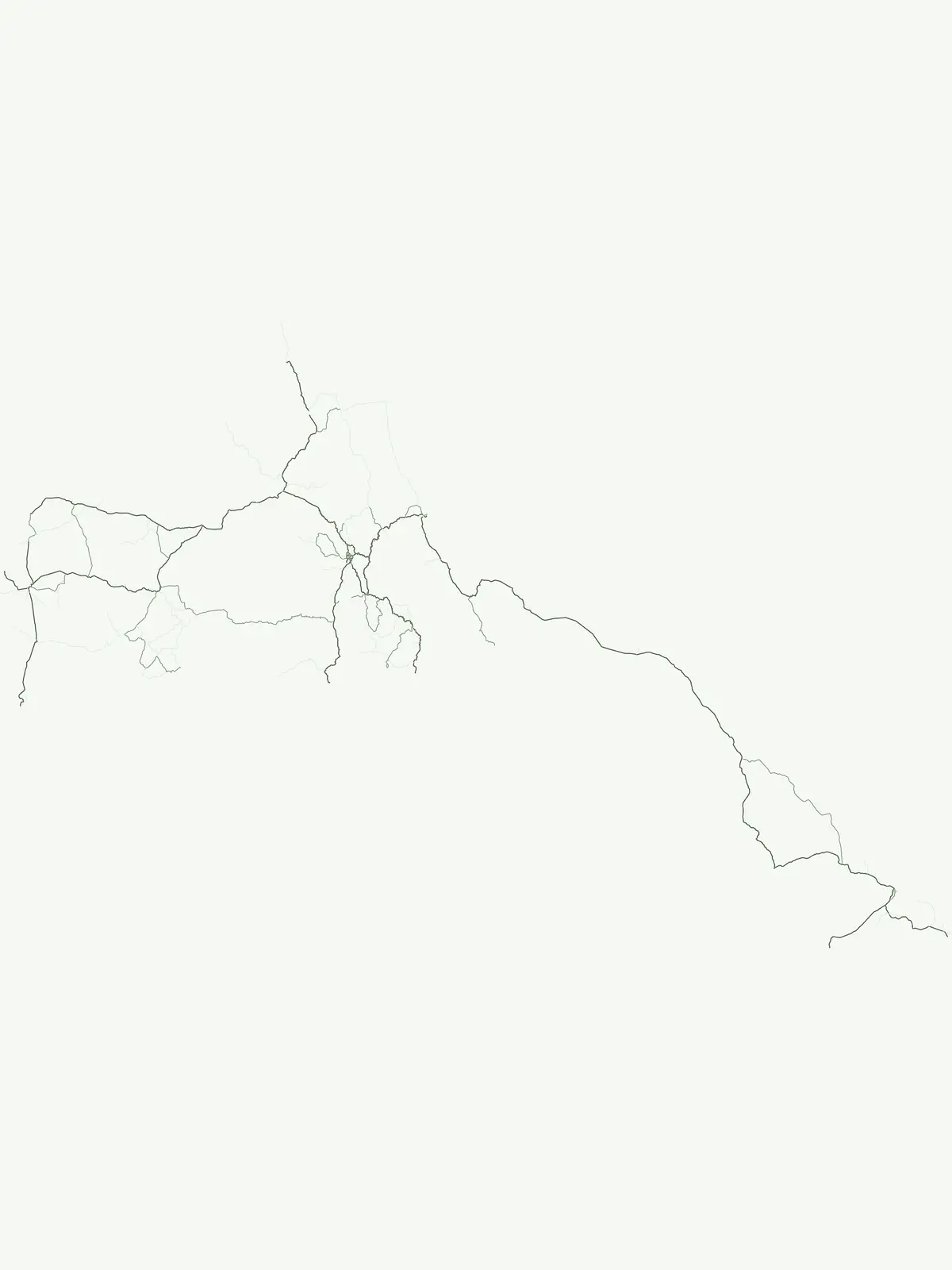
Mapped locations of conservation landscapes across Eritrea.
Interactive map of parks and protected areas in Eritrea.
Explore matching national parks through clustered map points and detailed park profiles.
Trace the regional spread of protected landscapes, comparing park geography across the Horn of Africa and wider East African nations.
Parks and protected areas in Ethiopia, including Simien and Bale Mountains.
Parks and protected areas in Saudi Arabia, including 'Uruq Bani Ma'arid and Al-Khunfah.
Parks and protected areas in Egypt, including Ras Muhammad and White Desert.
Parks and protected areas in South Sudan, including Southern and Boma National Park.

Parks and protected areas in Somalia, including Ras Hafun and Lag Badana.
Parks and protected areas in Sudan, including Dinder and Radom.
Parks and protected areas in Djibouti, including Day Forest and Yoboki National Park.
Parks and protected areas in Yemen, including Hawf National Reserve.
Open the park list for Eritrea to explore locations and park characteristics.