

Mori Atlas logo
Country park map

Trace the spatial positioning and regional spread of conservation lands across Netherlands.

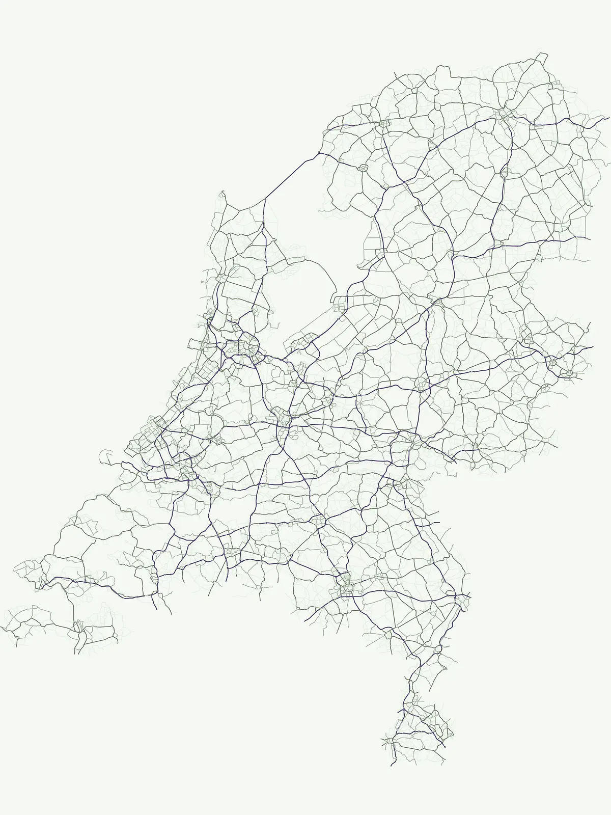
Netherlands National Parks Map: Mapped Distribution of Protected Areas & Natural Landscapes

Explore the complete geographic landscape of protected areas in the Netherlands through this interactive map. Understand where national parks and conservation lands are situated across the country's varied terrain, from coastal regions to inland wetlands. This map-centric view helps in comparing park locations and appreciating their regional distribution, offering a clear atlas perspective on nature conservation across the nation.

Netherlands National Parks Map: Mapped Distribution of Protected Areas & Natural Landscapes

Netherlands National Parks Map: Detailed Geographic Positioning of Protected Areas

Explore mapped park locations and regional protected-area spread.

Access a comprehensive map view detailing the precise locations and spatial distribution of national parks and protected areas across the Netherlands. This atlas-focused resource allows for detailed examination of how these conservation lands are positioned within the country's geography, facilitating comparisons of regional spread and landscape context.

Interactive national park map

Explore matching national parks through clustered map points and detailed park profiles.

No parks match the active filters
Other countries

Compare protected landscapes, mapped geography, and conservation efforts across a wider European atlas.

Continue Park Discovery: Explore National Parks and Protected Areas Beyond Netherlands

Explore national parks and protected areas in countries geographically linked to the Netherlands, allowing you to understand broader regional conservation landscapes. This atlas view facilitates comparative geographic discovery, providing essential context for the Netherlands' unique protected areas within Europe's diverse natural heritage.

Germany National Parks and Protected Areas: Browse Geographic Distribution

Discover the breadth of Germany's national parks and protected natural areas through a structured geographic atlas. This section enables detailed browsing of mapped boundaries and understanding the regional landscape context for each protected land. It serves as a comprehensive entry point for anyone interested in the geography and distribution of conservation areas within the Federal Republic of Germany.

1,221 parks

France National Parks and Protected Areas: Mapped Geographic Exploration

Navigate France's protected natural areas and national parks with our structured atlas. This resource highlights the geographic distribution of conservation landscapes, enabling users to visually explore park boundaries and understand the country's regional geography. It serves as a foundational tool for discovering the mapped natural terrain and protected lands within France.

282 parks

United Kingdom National Parks and Protected Areas: A Geographic Atlas

MoriAtlas facilitates the geographic exploration of national parks and protected areas within the United Kingdom. Delve into the mapped boundaries of natural landscapes, understand their regional distribution, and navigate the country's protected land entities through a structured atlas perspective. Discover the diverse geographic context of conservation efforts across England, Scotland, Wales, and Northern Ireland.

88 parks

Denmark National Parks and Protected Landscapes: A Geographic Atlas Overview

This atlas entry for Denmark allows for the exploration of its national parks and protected areas, focusing on their geographic distribution and mapped boundaries. Understand the context of these protected lands within the broader landscape of Denmark, facilitating structured discovery of natural terrain and conservation areas through an intuitive, map-aware interface.

87 parks

Switzerland National Parks and Protected Areas: A Geographic Atlas Exploration

Delve into the structured geography of Switzerland's protected natural areas. This atlas-style exploration highlights the distribution of national parks and other protected lands, offering insights into their mapped boundaries and regional context within the Swiss landscape. Understand the geographic scope of conservation efforts across the country's diverse terrain.

42 parks

Belgium National Parks and Protected Areas: An Atlas of Mapped Natural Landscapes

Delve into the structured geography of Belgium's protected natural areas with MoriAtlas. This country-level atlas entry point reveals the mapped distribution of national parks and other protected lands, providing essential geographic context. Understand the landscape patterns and navigate through Belgium's conservation areas, enabling a deeper appreciation of its natural terrain and protected regions.

13 parks

Luxembourg National Parks and Protected Areas: A Geographic Atlas Overview

Navigate the diverse protected natural areas of Luxembourg through a structured geographic lens. This atlas entry point allows for detailed exploration of park boundaries and the distribution of protected landscapes across the country. Understand the regional geography and conservation context of Luxembourg's natural heritage.

12 parks

Liechtenstein Protected Areas: An Atlas of National Parks and Landscapes

Delve into the structured geography of Liechtenstein's protected natural areas. This atlas entry point allows for exploration of national parks and conservation landscapes, highlighting their mapped boundaries and regional context within the country. Understand the unique geographic distribution of protected lands in this Alpine microstate through detailed, factual data.

2 parks
MoriAtlas Explorer

Continue Exploring Protected Landscapes and Park Geography Across the Netherlands

Deepen your understanding of the Netherlands' natural heritage by examining its national parks and protected areas. This atlas-style exploration allows for effective comparison of mapped landscapes and regional geography. Continue browsing to uncover the full scope of conservation efforts and the unique geographic characteristics of each protected natural area.






