
Why Arequita National Park stands out
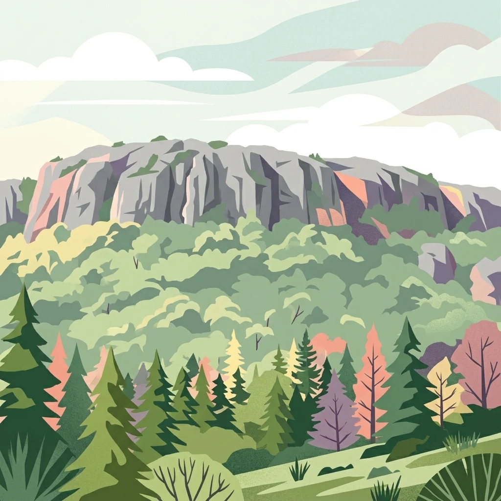
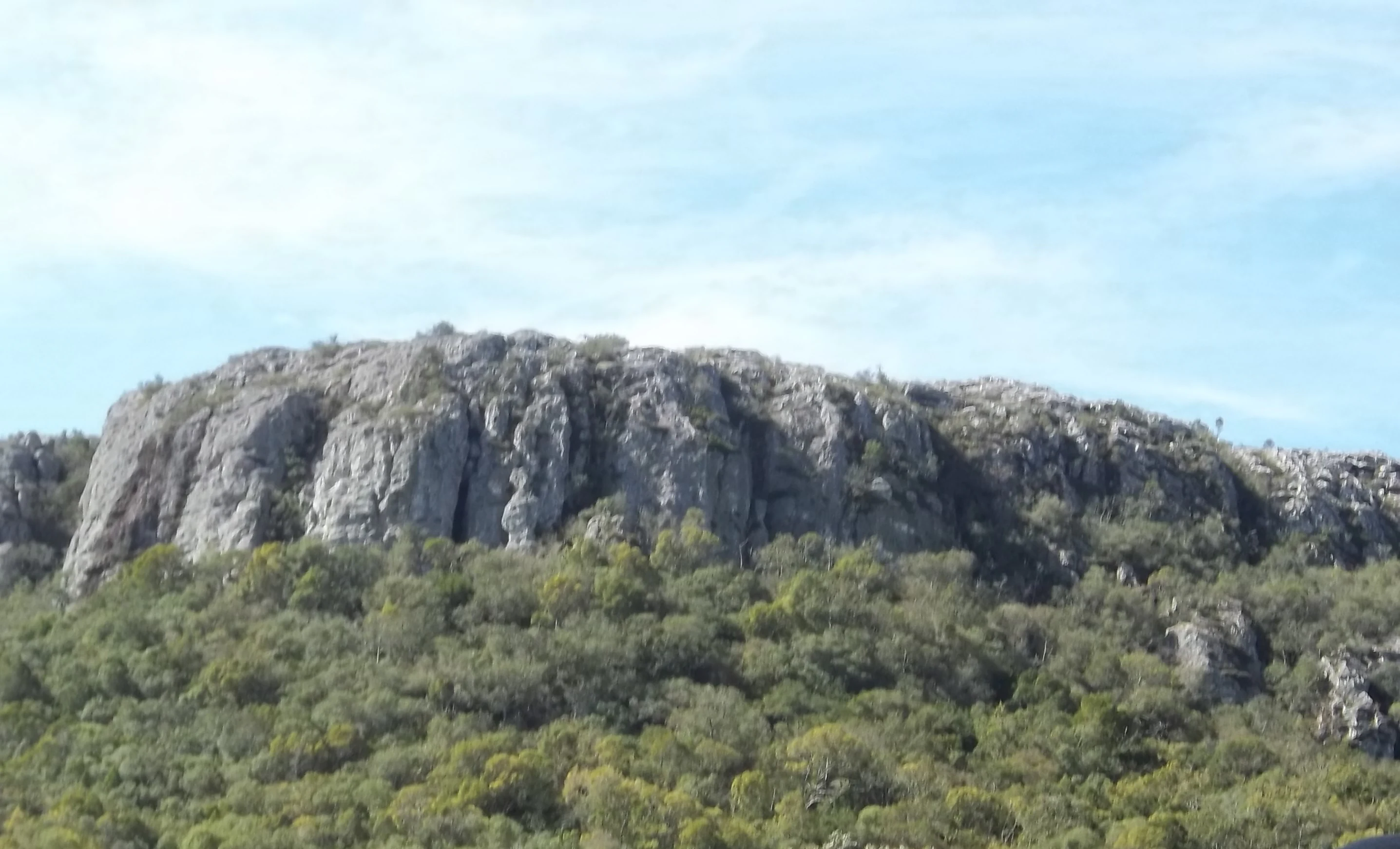
Arequita National Park is best known for its namesake hill, Cerro Arequita, which holds both natural and cultural significance. The hill features distinctive rocky formations and serves as a visible landmark in the Lavalleja landscape. The park protects the endemic bromeliad species Tillandsia arequitae, found nowhere else in the world. The area provides habitat for several species of conservation interest, including Geoffroy's cat and the Neotropical river otter. The cultural significance of Cerro Arequita is evidenced by its depiction on the coat of arms and flag of Lavalleja Department, and its representation in art dating to 1899.
Arequita National Park history and protected-area timeline
Cerro Arequita has long been a notable geographic feature in Uruguay, serving as a visual landmark and cultural symbol for the Lavalleja Department. The hill's significance is evidenced by its inclusion on both the coat of arms and flag of the department, establishing it as an icon of regional identity. Artist Carlos Federico Sáez created an oil painting of Cerro Arequita in 1899, documenting the hill's prominence in the visual culture of Uruguay. The protected area status was formalized in 2024 when the area was designated as Arequita National Park, providing institutional protection for the hill and its surrounding ecosystems. This designation represents the culmination of efforts to recognize and preserve the natural and cultural values of this distinctive landscape.
Arequita National Park landscape and geographic character
The landscape of Arequita National Park is defined by Cerro Arequita, a 305-meter elevation hill that rises from the surrounding terrain of the Cuchilla Grande. The hill features rocky outcrops and cliffs that create visual contrast with the more typical rolling grasslands of the region. The terrain supports a mosaic of habitats including native forest patches, shrubland, and grassy areas. The rocky substrate of the hill provides unique microhabitats for specialized plant species, including the endemic Tillandsia arequitae. The landscape character represents the more rugged portions of Uruguay's interior, where the ancient rock formations of the precambrian shield create topography that differs from the predominantly flat or gently undulating terrain found elsewhere in the country.
Arequita National Park ecosystems, habitats, and plant life
The ecosystems within Arequita National Park encompass several habitat types that support Uruguayan biodiversity. The native vegetation includes forest patches, shrubland communities, and grassland areas that together form a heterogeneous landscape. The park protects the endemic epiphyte Tillandsia arequitae, a bromeliad species that is found only on Cerro Arequita, making it a species of particular conservation significance. The diverse habitat structure supports various ecological communities, with different species occupying the forest interior, forest edges, rocky areas, and open grasslands. The combination of rocky terrain and native vegetation creates conditions that support both plant and animal species typical of Uruguay's interior landscapes.
Arequita National Park wildlife and species highlights
Arequita National Park provides habitat for diverse wildlife species representative of Uruguay's fauna. The mammal community includes armadillos, skunks, foxes, Geoffroy's cats, gray brockets, capybaras, river otters, and nutrias. These species utilize the various habitats within the park, from forest areas to wetland zones near water sources. The avifauna includes numerous bird species such as rufous-collared sparrows (chingolos), chalk-browed mockingbirds, dusky-legged guans, turkey vultures, and savannah vultures. The presence of both forest-dwelling and open-area species reflects the heterogeneous habitat structure within the protected area. The park's habitats support predator species including Geoffroy's cat, a small wild cat species native to South America.
Arequita National Park conservation status and protection priorities
Arequita National Park contributes to Uruguay's protected area system by preserving a representative sample of the country's mountain and hill ecosystems. The 2024 designation provides formal protection for Cerro Arequita and its surrounding landscapes, ensuring the preservation of both ecological and cultural values. The protection of the endemic Tillandsia arequitae represents a key conservation priority, as this species is restricted to a single geographic location. The park also contributes to the conservation of habitat for species such as Geoffroy's cat and the Neotropical river otter, which face pressure from habitat loss across their ranges. The establishment of the national park reflects broader conservation goals in Uruguay to maintain biodiversity and protect representative ecosystem types.
Arequita National Park cultural meaning and human context
Cerro Arequita holds deep cultural significance for the people of Lavalleja Department and Uruguay more broadly. The hill's name derives from Guaraní, reflecting the indigenous heritage of the region and the historical presence of Guaraní-speaking peoples in this area. The name's meaning, "water falling from the high rock over the caves," describes distinctive geological features of the hill and demonstrates the detailed observation of landscape characteristics by indigenous communities. The hill has been represented in art since at least 1899, when Carlos Federico Sáez created an oil painting of the feature. The depiction of Cerro Arequita on the coat of arms and flag of Lavalleja Department establishes it as a symbol of regional identity and pride. The protected area status recognizes this cultural dimension alongside the natural values of the landscape.
Top sights and standout views in Arequita National Park
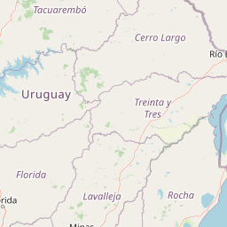
Arequita National Park offers visitors the opportunity to experience one of Uruguay's most distinctive hill landscapes within a protected area. The prominent Cerro Arequita provides a visible destination and reference point within the park. The endemic plant Tillandsia arequitae represents a unique botanical feature found nowhere else on Earth. The diversity of wildlife, including species such as Geoffroy's cats and river otters, provides observation opportunities for visitors interested in Uruguay's fauna. The cultural significance of the hill, reflected in its depiction on departmental symbols and in historical art, adds depth to the visitor experience. The park's location approximately 10 kilometers north of Minas provides accessible recreation opportunities for local residents and visitors to the Lavalleja region.
Best time to visit Arequita National Park
The best time to visit Arequita National Park depends on seasonal conditions and visitor preferences. The spring and summer months (October through March) typically offer warmer temperatures suitable for hiking and outdoor activities. During these seasons, the vegetation is lush and bird activity is high, providing good wildlife viewing opportunities. Autumn and winter (April through September) may offer cooler, more comfortable conditions for walking, though temperatures can be mild compared to more extreme climates. The park can be visited year-round, though visitors should check current access conditions and weather forecasts before planning their trip. The proximity to Minas means that visitors can combine park exploration with other activities in the Lavalleja Department.