
Mori Atlas logo
Nature reserveBergwiesen im Osterzgebirge

Tracing the geographic footprint of historic mountain meadows and traditional stone-strip field boundaries in the Saxon uplands.

Bergwiesen im Osterzgebirge Nature Reserve: Mapped Protected Landscapes in the Eastern Ore Mountains

Bergwiesen im Osterzgebirge represents a significant large-scale nature conservation initiative located within the rolling montane terrain of the eastern Ore Mountains in Saxony. The protected area encompasses a diverse mosaic of mountain meadows, wet habitats, and the distinctive stone-strip field systems known as Steinrücken that have defined this cultural landscape for centuries. By examining its geographic boundaries and ecological corridors, one can better understand the integration of traditional land use and long-term conservation efforts in the German uplands.

mountain meadowsmontane grasslandcultural landscapewet meadowsbog conservationstone-strip fields
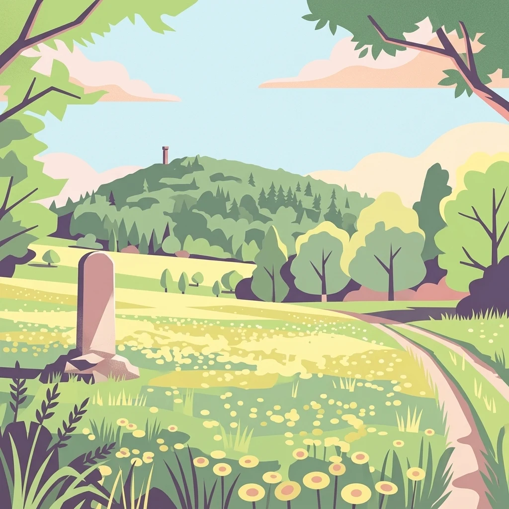
A colorful illustration of a green meadow with yellow flowers, a winding dirt path, trees, and a hill with a tower in the background. A stone marker stands in the foreground.

Bergwiesen im Osterzgebirge

Nature reserve

Park overview

Structured park overview, official facts, and landscape profile for Bergwiesen im Osterzgebirge

Bergwiesen im Osterzgebirge park facts, protected area profile, and essential visitor context

Review the core facts for Bergwiesen im Osterzgebirge, including designation, size, terrain, visitor scale, habitats, and operating context in one park-focused overview.

About Bergwiesen im Osterzgebirge

Bergwiesen im Osterzgebirge encompasses a wide-ranging conservation effort in the eastern Ore Mountains of Saxony, where traditional land use has produced one of Germany's most ecologically valuable upland meadow landscapes. The project is carried out under the federal "chance.natur" program and led at the local level by the district of Sächsische Schweiz-Osterzgebirge. It reflects a recognition that the region's biodiversity is closely tied to centuries of extensive, low-intensity agriculture, and that maintaining the open character of these landscapes requires active land management alongside targeted habitat measures.

At the heart of the project are two focal areas: the Geisingberg, a prominent mountain rising on the southwestern edge of Altenberg, and the Grenzwiesen Fürstenau, a complex of border meadows near Fürstenau directly adjacent to the Czech border. Together, these areas anchor a broader landscape that includes a network of outlying villages and communities such as Zinnwald-Georgenfeld, Rudolphsdorf, Cínovec, Fojtovice, and Adolfov on the Saxon and Czech sides, as well as buffer zones around Lauenstein, Löwenhain, and Fürstenwalde.

The conservation targets are unusually broad, reflecting the diversity of the habitats involved. Among the plant species of special concern are low black salsify, alant thistle, arnica, orange lily, broad-leaved marsh orchid, and slender cottongrass. The project also places strong emphasis on characteristic fauna, ranging from butterflies such as the dukatenfalter and the bog fritillary to birds like the whinchat, red-backed shrike, black grouse, and corncrake. This combination of meadow plants, bog vegetation, and ground-nesting or open-country bird species gives the project its distinctive ecological profile.

Begun in 1999 with initial funding from the German Federal Agency for Nature Conservation, the Saxon State Ministry for the Environment and Agriculture, and the former Weißeritzkreis district, the project has continued in a second phase that began in late 2010. Over time, it has increasingly become a model for integrative, landscape-scale conservation in Central European uplands, blending modern ecological knowledge with the preservation of historical cultural landscapes.

Quick facts and research context for Bergwiesen im Osterzgebirge

Bergwiesen im Osterzgebirge is a Saxon nature conservation project led by the district of Sächsische Schweiz-Osterzgebirge, with funding support from the German federal government, the Free State of Saxony, and local municipalities. The effort was officially established as the 50th initiative under Germany's federal "chance.natur" program, which has supported large-scale nature conservation projects nationwide since 1979. Funding ran in two major phases: the first from 1999 to 2008 and a second phase beginning in December 2010 and running through August 2015.

The project's focal areas include the Geisingberg and the Grenzwiesen Fürstenau, both bordering the Czech Republic, with additional zones across communities such as Geising, Zinnwald-Georgenfeld, Altenberg, and Fürstenau. The project manages a mosaic of open habitats that includes species-rich mountain meadows, wet meadows, mat-grass grasslands, raised bog remnants, and traditional stone-strip field structures. Conservation targets range from rare meadow plants to ground-nesting birds and butterflies, reflecting the ecological breadth of the montane grasslands being protected.

Protection and recognition

Examine terrestrial protection details and recorded management scope for Bergwiesen im Osterzgebirge.

Bergwiesen im Osterzgebirge Protection Status and Official Designation Records

Terrestrial protection status records for Bergwiesen im Osterzgebirge outline the verified conservation scope and formal designation framework governing the terrain. Official recognition details assemble the documented administrative context associated with this protected natural area.

Protection details

Protection scope
Terrestrial
Park context

Deeper park guide and search-rich context for Bergwiesen im Osterzgebirge

Bergwiesen im Osterzgebirge history, landscape, wildlife, and travel context

Explore Bergwiesen im Osterzgebirge through its history, landscape character, ecosystems, wildlife, conservation priorities, cultural context, and seasonal travel timing in a structured park guide built for atlas discovery and search intent.

Why Bergwiesen im Osterzgebirge stands out

The project is best known for preserving a centuries-old cultural landscape of montane meadows and associated open-land habitats in the Osterzgebirge. It is particularly recognized for protecting one of Germany's important remaining habitats for the black grouse, alongside other threatened meadow species such as the corncrake, whinchat, and red-backed shrike. Equally distinctive are the project's efforts to maintain traditional landscape features, especially the Steinrücken, or stone-strip field boundaries, found prominently in the Fürstenau area. These man-made stone structures, shaped by generations of clearing stony ground for agriculture, form an integral part of the region's identity. The combination of rare montane flora, characteristic bog communities, and intact agricultural heritage landscapes makes the project a flagship example of integrative rural conservation in the Ore Mountains.
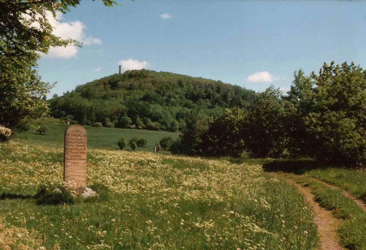
A stone marker stands in a grassy meadow with a dirt path, while a forested hill with a tower on top rises in the background under a blue sky.
The Markscheiderstein stone marker stands in a wildflower meadow with the forested Geisingberg hill and its tower in the background.

Bergwiesen im Osterzgebirge history and protected-area timeline

The Bergwiesen im Osterzgebirge project emerged from Germany's longstanding effort to sustain biodiversity beyond traditional small nature reserves. It was launched as the 50th initiative under the "chance.natur" federal conservation funding program, a scheme that has supported large-scale nature projects across Germany since 1979. The project began in 1999 and quickly established itself as a flagship conservation effort in Saxony due to the exceptional ecological value of the region's montane grasslands.

The first funding phase ran from 1999 to 2008 and was supported by the German Federal Agency for Nature Conservation, the Saxon State Ministry for the Environment and Agriculture, and the former Weißeritzkreis, which was later absorbed into the district of Sächsische Schweiz-Osterzgebirge in the 2008 administrative reform. During this period, partners including the town of Altenberg and the town of Geising played key local roles. The first phase laid the groundwork for meadow restoration, habitat management, and the re-establishment of interconnected grassland systems across the project area.

In December 2010, a second funding phase was initiated, scheduled to continue through August 2015. This phase was designed to build on earlier successes, deepening cooperation between federal, state, and local partners. The Förderverein für die Natur des Osterzgebirge, a local conservation association, joined as an additional project partner, further cementing the link between community engagement and long-term landscape management.

Bergwiesen im Osterzgebirge landscape and geographic character

The landscape of the Bergwiesen im Osterzgebirge project is defined by the rolling montane terrain of the eastern Ore Mountains, where centuries of agricultural use have produced a finely textured mosaic of open habitats. The Geisingberg anchors the project area as a prominent mountain surrounded by extensive slopes of traditionally managed grassland. The Grenzwiesen Fürstenau, situated along the Saxon-Czech border, contribute another layer of high-elevation open landscape. Together, these focal areas form a continuous ecological corridor of meadows and related habitats at the upper edge of the central European mountain landscape.

A defining feature of the region is the presence of Steinrücken, traditional stone-strip field boundaries that emerged from generations of clearing stony upland ground to make it arable and grazeable. These structures are especially prominent in the Fürstenau area, where they have become emblematic of the cultural landscape. Intermingled with these cultivated slopes are pockets of wet meadows, mat-grass swards, and remnant bog systems, each contributing to the visual and ecological diversity of the area.

The mosaic of open habitats gives the landscape a distinctive character: broad, gently sloping meadows punctuate the terrain, interrupted by stone walls, shrubby transitions, and boggy depressions. The deeper valleys and forested edges frame this open country, creating a landscape where cultural tradition, topography, and conservation values are tightly intertwined.

Bergwiesen im Osterzgebirge ecosystems, habitats, and plant life

The ecological identity of the project area rests on a remarkably rich assemblage of montane open-land habitats. The principal ecosystem is extensively used montane grassland, shaped by traditional haymaking and grazing practices. These meadows support a diverse flora that includes regionally rare species such as low black salsify, alant thistle, arnica, and the strikingly colored orange lily. Where moisture conditions allow, the meadows transition into wet meadows that support broad-leaved marsh orchids and slender cottongrass, lending these areas particular botanical significance.

Beyond the meadows themselves, the project area includes patches of mat-grass grassland, peatland remnants, and unusually well-preserved stone-strip field systems. These habitats form a network of open-land biotopes that together sustain one of the most diverse grassland communities in Saxony. The continuity of traditional management has allowed many species that have disappeared elsewhere in Germany to persist here, giving the area a strong identity as a refuge for upland meadow biodiversity.

The interplay between landscape structure, soil conditions, and long-standing land use creates a habitat heterogeneity that is central to the project's conservation value. Bog remnants, wet hollows, dry slopes, and stony ridge meadows each support different ecological communities, and it is precisely this diversity that the project works to maintain.

Bergwiesen im Osterzgebirge wildlife and species highlights

The wildlife profile of the Bergwiesen im Osterzgebirge project reflects the importance of extensive, low-intensity grassland for many species that have declined across much of Central Europe. Notable breeding birds of the open meadows include the black grouse, which retains one of its significant German strongholds in the montane meadows here, as well as the corncrake, the whinchat, and the red-backed shrike. The presence of these species underscores the importance of maintaining sufficiently large, structurally rich meadow complexes.

Butterflies are another highlight of the area's fauna. The dukatenfalter and the high moor fritillary, also known as the bog fritillary, are among the species of conservation concern. Their dependence on specific meadow structures and host plants makes them sensitive indicators of habitat quality, and their continued presence signals the success of habitat-oriented management.

Larger fauna of the surrounding forests and edges, though not the main focus of the project, also benefit from the open-land mosaic. The combination of meadows, bogs, and adjacent woodland creates a landscape that supports a broad spectrum of species, with the open-country specialists being the most distinctive feature of the area's wildlife character.

Bergwiesen im Osterzgebirge conservation status and protection priorities

The conservation significance of the Bergwiesen im Osterzgebirge project lies largely in its role as a refuge for open-land species that have suffered widespread declines in modern Europe. By supporting one of Germany's notable populations of black grouse and maintaining habitat for corncrake, whinchat, and red-backed shrike, the project contributes to the long-term survival of meadow-dependent bird communities that are increasingly restricted elsewhere on the continent.

The project also plays a key role in preserving the ecological integrity of montane grasslands, which have been among the most threatened habitat types in central Europe due to abandonment, intensification, and land-use change. Through targeted measures, including support for extensive agriculture, the initiative helps retain the open landscape character that sustains the area's biodiversity. The integration of bog remnants and wet meadows into the conservation framework further enhances the project's significance for habitat connectivity and climate-resilient landscape management.

Recognition of this conservation value is reflected in the project's institutional backing: it is supported by the German Federal Agency for Nature Conservation, the Saxon state government, the district of Sächsische Schweiz-Osterzgebirge, and local partners including a dedicated conservation association. This multilevel support structure has enabled the project to operate on a landscape scale and to bridge traditional land use with modern conservation goals.

Bergwiesen im Osterzgebirge cultural meaning and human context

The cultural landscape of the Osterzgebirge has been shaped over roughly five hundred years of agricultural settlement and use. The Bergwiesen, or mountain meadows, along with the distinctive Steinrücken stone-strip field boundaries, are tangible expressions of generations of effort to cultivate and graze stony upland terrain. These structures are not merely ecological features but a record of the region's rural heritage.

Local communities such as Altenberg, Geising, Fürstenau, Zinnwald-Georgenfeld, and the cross-border villages of Cínovec, Fojtovice, and Adolfov are deeply connected to this landscape. The conservation project works closely with farmers, municipal authorities, and a local conservation association to maintain land-use practices that are both ecologically meaningful and culturally rooted. This integration of human heritage and biodiversity conservation gives the project a distinctly community-oriented character that distinguishes it from purely protected-area models.

Top sights and standout views in Bergwiesen im Osterzgebirge

The Bergwiesen im Osterzgebirge project stands out for combining the preservation of species-rich montane meadows with the conservation of historical cultural landscape features such as the Steinrücken stone-strip fields. It hosts one of Germany's important populations of black grouse and a notable assemblage of other meadow-dependent birds and butterflies, including the corncrake, whinchat, red-backed shrike, dukatenfalter, and bog fritillary.

The project's cross-border dimension, linking Saxon communities with neighboring Czech villages, adds further distinctiveness. By supporting extensive, nature-compatible agriculture in cooperation with local farmers and municipalities, it demonstrates how traditional land use can be sustained as a foundation for biodiversity. The multi-decade continuity of federal, state, and local support, executed through two major funding phases, underscores the project's role as a long-term benchmark for open-land conservation in central European uplands.

Best time to visit Bergwiesen im Osterzgebirge

The meadows of the Osterzgebirge are most expressive in late spring and summer, when the montane grasslands come into full bloom. Early summer is typically the peak period for wildflower diversity, including arnica, orange lily, and various orchid species in the wetter meadow pockets. Insect and butterfly activity, including species such as the dukatenfalter and bog fritillary, also tends to be highest during warm, sunny summer days.

For birdlife, late spring and early summer offer the best chance to encounter characteristic open-country species, including whinchat, red-backed shrike, and, where permits and conditions allow, black grouse. Autumn brings a different atmosphere as the meadows take on muted colors and the surrounding forests draw more attention. Winter scenes, with snow across the open slopes and the prominent shape of the Geisingberg, can offer a striking, quieter perspective on the same landscape.

Monthly climate preview

Long-term representative monthly measurements of temperature and precipitation rhythm

Bergwiesen im Osterzgebirge Climate Normals and Annual Temperature Patterns

Representative coordinate records show average temperatures ranging from winter lows of negative two degrees to summer highs near nineteen degrees Celsius alongside measured daily precipitation. Examining the complete twelve-month profile provides detailed meteorological data across all recorded climatological periods for this protected location.
Annual mean8 °C
-3 °C19 °C
Jan-3°
Feb-1°
Mar
Apr
May13°
Jun17°
Jul19°
Aug18°
Sep13°
Oct
Nov
Dec-2°
Warmest month
July

18.7 °C

Coolest month
January

-2.6 °C

Wettest month
July

2.5 mm/day

Driest month
February

1.1 mm/day

Park location guide

Geography guide, regional context, and park location map for Bergwiesen im Osterzgebirge

Bergwiesen im Osterzgebirge park geography, regions, and map view in Germany

Understand where Bergwiesen im Osterzgebirge sits in Germany through a broader geographic reading of the surrounding landscape, nearby location context, and its mapped position within the national park landscape.

How Bergwiesen im Osterzgebirge fits into Germany

Germany is a federal republic in Western and Central Europe with a population of over 83 million across sixteen constituent states. It is Europe's largest economy by nominal GDP and a major global exporter and importer. The capital is Berlin, and the country borders Denmark, Poland, Czech Republic, Austria, Switzerland, France, Luxembourg, Belgium, and the Netherlands.

Wider geography shaping Bergwiesen im Osterzgebirge in Germany

Germany is located in Western and Central Europe, spanning 357,022 km². It borders Denmark to the north, Poland and the Czech Republic to the east, Austria and Switzerland to the south, and France, Luxembourg, Belgium, and the Netherlands to the west. The country has coastlines on the Baltic Sea and North Sea to the north, with the Alps located in the southern region.

Map view of Bergwiesen im Osterzgebirge

Use this park location map to pinpoint Bergwiesen im Osterzgebirge in Germany, understand its exact geographic position, and read its mapped placement within the surrounding landscape more clearly.

Pigeon | © OpenStreetMap contributors

Location context for Bergwiesen im Osterzgebirge

Saxony

Visualizing the mountain meadows, stone-strip boundaries, and protected habitats of the Ore Mountains.

Bergwiesen im Osterzgebirge Photos and Landscape Scenery

Visual records reveal the rolling montane terrain, traditional meadow mosaics, and distinct stone boundaries that define the protected landscape. Examining these field photos and habitat views helps visitors understand the ecological character and cultural heritage preserved across the region.

A stone marker stands in a grassy meadow with a dirt path, while a forested hill with a tower on top rises in the background under a blue sky.

A view of a forested hill topped with a chimney, seen from a grassy meadow under a blue sky.

Park atlas

Compare adjacent montane terrain and regional conservation areas in the eastern Ore Mountains

Parks Near Bergwiesen im Osterzgebirge and Surrounding Protected Landscapes

Expand your geographic comparison by browsing other protected areas and mountain meadow habitats located near Bergwiesen im Osterzgebirge. Connecting these regional park profiles provides deeper context into the diverse topography and conservation traditions defining central European uplands.
Watercolor painting of a panoramic mountain landscape with rolling green hills, patches of forest, and distant peaks under a soft sky.
Nature reserveSaxony
About 3 km away#1 closest

Northwest

Geisingberg Nature Reserve: A Volcanic Basalt Peak in the Eastern Ore Mountains of Saxony

Exploration of protected mountain terrain and volcanic geology

Geisingberg serves as a rare volcanic Quellkuppe rising above the Saxon mining landscapes of Altenberg. The nature reserve protects 300 hectares of high-altitude bogs, species-rich meadows, and historic forest clearings. Gain a deeper understanding of this mountain through detailed mapped terrain, topographic features, and long-standing protected-area status within the Ore Mountains.

Area
3 km²
Established
1960
Relief
Mountain
Climate
Temperate
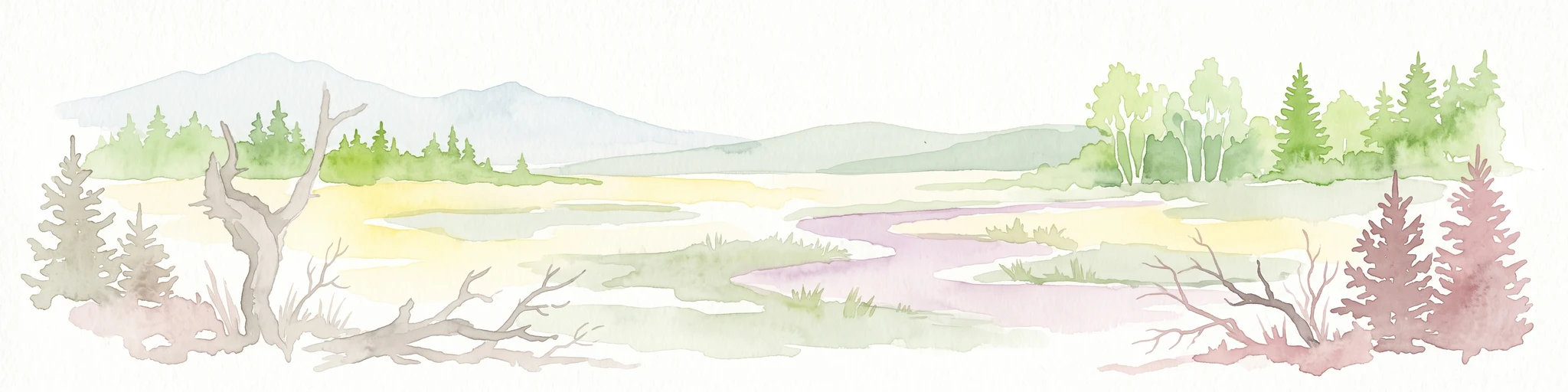
Watercolor painting of a peat bog with a small meandering stream, scattered deadwood, and a distant mountain range under a pale sky.
Nature reserveSachsen
About 3.9 km away#2 closest

Southwest

Georgenfelder Hochmoor Nature Reserve: A Protected Highland Bog in the Ore Mountains

Examining the geography and mapped peatland terrain in the Sachsen region

Georgenfelder Hochmoor is a distinct ridge-top raised bog located on the high plateau of the Osterzgebirge. This protected area maintains a significant ten-thousand-year peat profile and plays a vital role in the watershed divide of the Ore Mountains, offering a clear example of modern transboundary conservation and mountain moorland development.

Area
0.135 km²
Established
1961
IUCN
IV
Visitors
17.5K annual
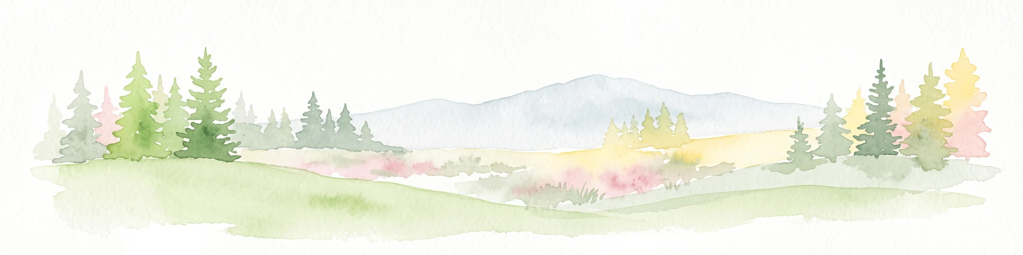
A soft watercolor illustration featuring a panoramic view of a peat bog landscape with evergreen trees and distant rolling mountains under a white background.
Nature reserveÚstecký kraj
About 4.2 km away#3 closest

Southwest

Rašeliniště U jezera, Cínovecké rašeliniště: Protected Nature Reserve and Bog Landscape

Geography and environmental context in the Ústecký kraj mountain range.

Situated at high elevations in the Ore Mountains, Rašeliniště U jezera, Cínovecké rašeliniště protects a functioning example of a rare raised bog ecosystem. This reserve contains diverse bog-pool flora and peat-forming habitats, standing as a significant site for understanding the montane geography of northern Bohemia and the ongoing conservation of Krušné hory wilderness areas.

Area
0.601 km²
Established
2001
IUCN
IV
Relief
Mountain
Nature reserveSächsische Schweiz-Osterzgebirge
About 4.5 km away#4 closest

Northwest

Weicholdswald Nature Reserve: Mapped Protected Landscapes of the Eastern Ore Mountains

A preserved beech forest enclave within the Sächsische Schweiz-Osterzgebirge

Weicholdswald stands as a primary nature reserve in the Sächsische Schweiz-Osterzgebirge district, known for its 160-year-old beech trees and extensive deadwood habitats. This protected area provides a rare look at near-natural forest ecosystems that have remained free from historic clear-cutting or coniferous monocultures, maintaining rich biodiversity across its streams and granitic slopes.

Area
1.037 km²
Established
1961
IUCN
IV
Nature reserveSachsen
About 11 km away#5 closest

West

Gimmlitztal Nature Reserve in the Ore Mountains: Mapped Protected Landscapes

Exploring the stream valley geography of Saxony, Germany.

Gimmlitztal is a significant nature reserve in the German state of Saxony that protects the unique hydrology and biodiversity of the Gimmlitz stream corridor. The terrain includes forested slopes and traditional meadow patches, reflecting a long history of human interaction with the Ore Mountain environment. This reserve functions as a continuous green ribbon for regional habitat preservation.

Area
2.578 km²
Established
2015
IUCN
IV
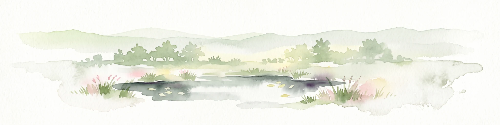
A soft watercolor illustration of a bog landscape with a dark central pool, surrounding marsh vegetation, and distant pale hills.
Nature reserveÚstecký kraj
About 17 km away#6 closest

East

Rájecká rašeliniště Nature Reserve: Protected Peatland and Sandstone Geography in Ústecký kraj

Geographic atlas and protected area landscape summary

Rájecká rašeliniště serves as a critical study in landscape ecology, featuring rare peat-forming vegetation located within the high-relief sandstone formations of the Ústecký kraj. This protected nature reserve provides a unique look at how specialized bog communities thrive despite the porous, water-draining characteristics of the local sandstone terrain, highlighting the site's importance within the Czech conservation landscape.

Area
0.017 km²
Established
2004
IUCN
IV
Water
Major water bodies
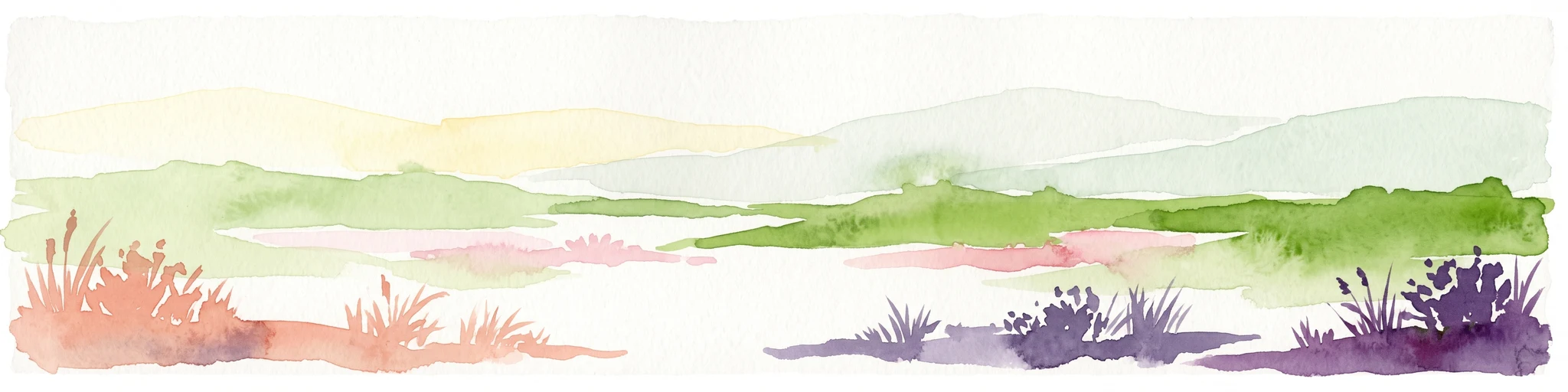
A horizontal watercolor painting showing rolling green hills in the distance and colorful, stylized vegetation in the foreground.
Nature reserveÚstí nad Labem Region
About 17 km away#7 closest

Southeast

Rač Nature Reserve: Volcanic Slopes and Protected Habitats in Ústí nad Labem

Geomorphology and ecological succession in the České středohoří range

Rač Nature Reserve is a landmark for volcanic ecology, preserving a mosaic of trachyte rock formations and open grassland on the slopes of Hradiště u Habří. This protected area serves as a vital refuge for rare steppe-like flora and a high concentration of thermophilic insect species, offering a concentrated look at natural land recovery and geological history in northern Bohemia.

Area
0.154 km²
Established
1953
IUCN
IV
Relief
Mountain
A watercolor illustration depicting rolling, soft hills and green vegetation with distant, faded mountains in the background, set against a plain white background.
Nature reserveGermany
About 23 km away#8 closest

North

Spargründe bei Dohna: Nature Reserve and Protected Valley Landscapes in Germany

Examining the crystalline ravines and forest ecosystems of the Saxon landscape

Spargründe bei Dohna stands as a distinct nature reserve at the northern margin of the Elbtalschiefergebirge. The site encompasses narrow, steeply-sided valleys carved into Dohna Granodiorite, creating a rugged terrain of rocky ridges and shaded deciduous woodland. This geographic overview examines the boundaries and natural features of the reserve, highlighting its role within the wider Müglitztal protected area network.

Area
0.373 km²
Relief
Upland
Climate
Temperate
Access
Easy access

Common questions about visiting, size, designation, and location context for Bergwiesen im Osterzgebirge

Bergwiesen im Osterzgebirge FAQs for park facts, access, geography, and protected area context

Find quick answers about Bergwiesen im Osterzgebirge, including protected-area facts, park geography, trail and visitor context, and how the park fits into its surrounding country and regional landscape.
MoriAtlas Explorer

Continue Your Protected Areas Search Across the Global Atlas

Deepen your exploration by continuing the structured search for national parks and protected areas worldwide. Utilize the comprehensive filtering capabilities to compare different conservation landscapes and refine your understanding of global park geography. Discover more about the distribution and characteristics of protected natural areas.

Global natural geography