
Mori Atlas logo
Park guides

Exploratory resources covering seasonal timing and landscape context in the Hornsby Plateau.

Berowra Valley National Park: Collection of Published Geographic and Visitor Guides

This collection provides focused editorial guides for Berowra Valley National Park, situated on the sandstone ridges of the Hornsby Plateau. Gain insights into environmental patterns, including the best timing for traversing the Great North Walk through these protected catchment lands, based on current thematic publications.

Related tags

National ParkAustraliaHawkesbury SandstoneSydney BasinHornsby Plateau

A sandstone wilderness on Sydney's northern fringe, protecting Berowra Creek catchment within the Hornsby Plateau

Berowra Valley National Park

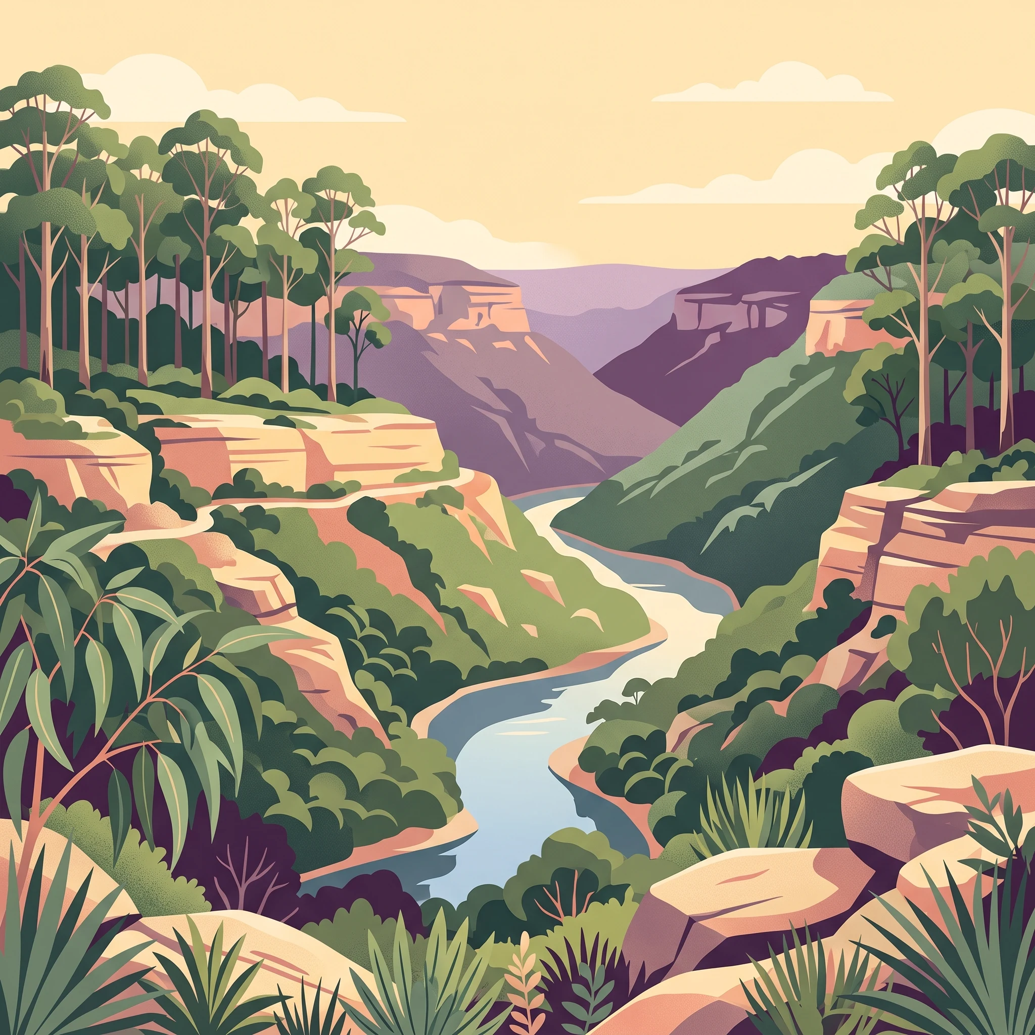
Berowra Valley National Park occupies a prominent position on the Hornsby Plateau in Sydney's north, protecting a substantial tract of sandstone wilderness within the metropolitan area. The park's terrain is characteristic of the Sydney Basin's Hawkesbury Sandstone formations, featuring the dissected, rolling plateau landscape typical of the region with deep valleys carved by the creek systems that drain toward the Hawkesbury River basin. Berowra Creek forms the central watercourse running through the park, collecting drainage from the surrounding catchment and defining much of the park's western extent. The park's boundaries are defined by surrounding suburban development, with Boundary Road marking the southern edge near Pennant Hills, the western limits of Hornsby to the south-east, the Pacific Motorway forming the north-eastern boundary, and Berowra Waters to the north. The landscape extends westward into Galston Gorge where the terrain becomes increasingly rugged. Beyond the creek valleys and sandstone ridgelines, the park contains fragments of Blue Gum High Forest, a distinctive wet sclerophyll community that once covered much of the plateau before extensive clearing for suburban development transformed the broader landscape.

Location
Australia
Park type
National park
Established
2012
Area
38.8 km²
Berowra Valley National Park Geography
MoriAtlas Explorer

Continue Exploring Berowra Valley National Park's Geographic Landscape and Boundaries

Deepen your understanding of Berowra Valley National Park by exploring its specific geographic features and protected landscape definition. Learn how its mapped terrain contributes to the natural atlas of New South Wales, offering a structured pathway for geographic discovery. Continue to trace its boundaries and understand its regional context.