
Why Cotacachi Cayapas National Park stands out
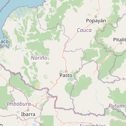
Cotacachi Cayapas is best known for its extreme altitudinal range, which compresses an entire series of Andean and Chocó ecosystems into a single protected landscape. Within its borders, visitors can move from high-elevation páramo and cloud forests around Volcán Cotacachi down into lowland rainforest along the Cayapas and Esmeraldas river basins. The park is also widely recognized for the Laguna de Cuicocha, a volcanic crater lake with two inhabited islands, which has become one of the most visited natural landmarks in northern Ecuador. Beyond scenery, the area is celebrated for exceptionally high biodiversity, including thousands of vascular plant species and hundreds of bird species, several of which are globally threatened.
Cotacachi Cayapas National Park history and protected-area timeline
Cotacachi-Cayapas was first declared a national reserve on 29 August 1968 under Executive Decree 1468, making it the second protected area established in continental Ecuador. Initial designation recognized its combined Andean and coastal value, and the reserve was administered by the national environment authority.
In 1979, the area was reclassified as an Ecological Reserve, a designation that expanded its conservation mandate. A first Management Plan was prepared in 1983, intended to guide protection for the following twenty years. Subsequent ministerial agreements in 2002 and 2017 further extended the territory, with the 2017 agreement bringing the officially designated area to just over 272,000 hectares, although revised cartography places the effective surface at roughly 260,961 hectares.
The most significant institutional change came in 2019, when the reserve was elevated to national park status, formalizing its highest level of protection. Around the same time, the Imbabura portion of the park was incorporated into a UNESCO Global Geopark, reinforcing its dual role in conservation and geotourism. Though designation shifted, the underlying purpose remained the same: protecting an unbroken Andean-to-coast ecological corridor in northwestern Ecuador.
Human presence in the region long predates the reserve. Spanish accounts of Francisco Pizarro's 1536 landing near Esmeraldas mark the earliest documented contact, while formal colonial administration began under Pedro Vicente Maldonado in 1735. Indigenous Chachi communities traditionally lived in higher zones before displacement to the Esmeraldas lowlands, where they founded the historic settlement of Pueblo Viejo, occupied until the 1940s. Pre-Columbian remains on Isla Yerovi and archaeological evidence from surrounding highland sites like Cotacachi and Quiroga show that the area has been inhabited for centuries.
Cotacachi Cayapas National Park landscape and geographic character
The landscape of Cotacachi Cayapas is shaped by an extraordinary drop in elevation across the western flank of the Andes. In the upper zone, Volcán Cotacachi rises toward 4,990 meters, its flanks crowned by páramo grasslands that include dense pajonal herbazales and shrubby arbustal patches. Below the treeline, montane cloud forests spread across steep slopes, with moss-laden trees and persistent mist creating a humid, otherworldly environment.
Mid-elevations are dominated by the evergreen piedmont forests that clothe the outer slopes of the western cordillera. These forests are the park's most extensive ecosystem and continue downward into lower zones where the Andes meet the Pacific coastal ranges. Along the deeper river valleys, including those of the San Miguel, Santiago, Bravo, and Guaduero rivers, the terrain steepens into rugged hills and dissected ridges, eventually yielding to the lowland Chocó forests of Esmeraldas Province.
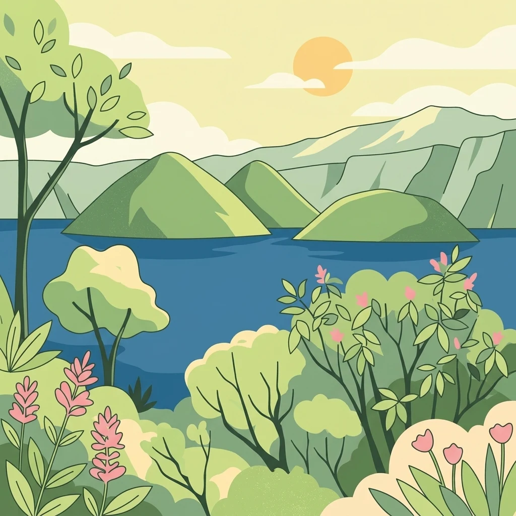
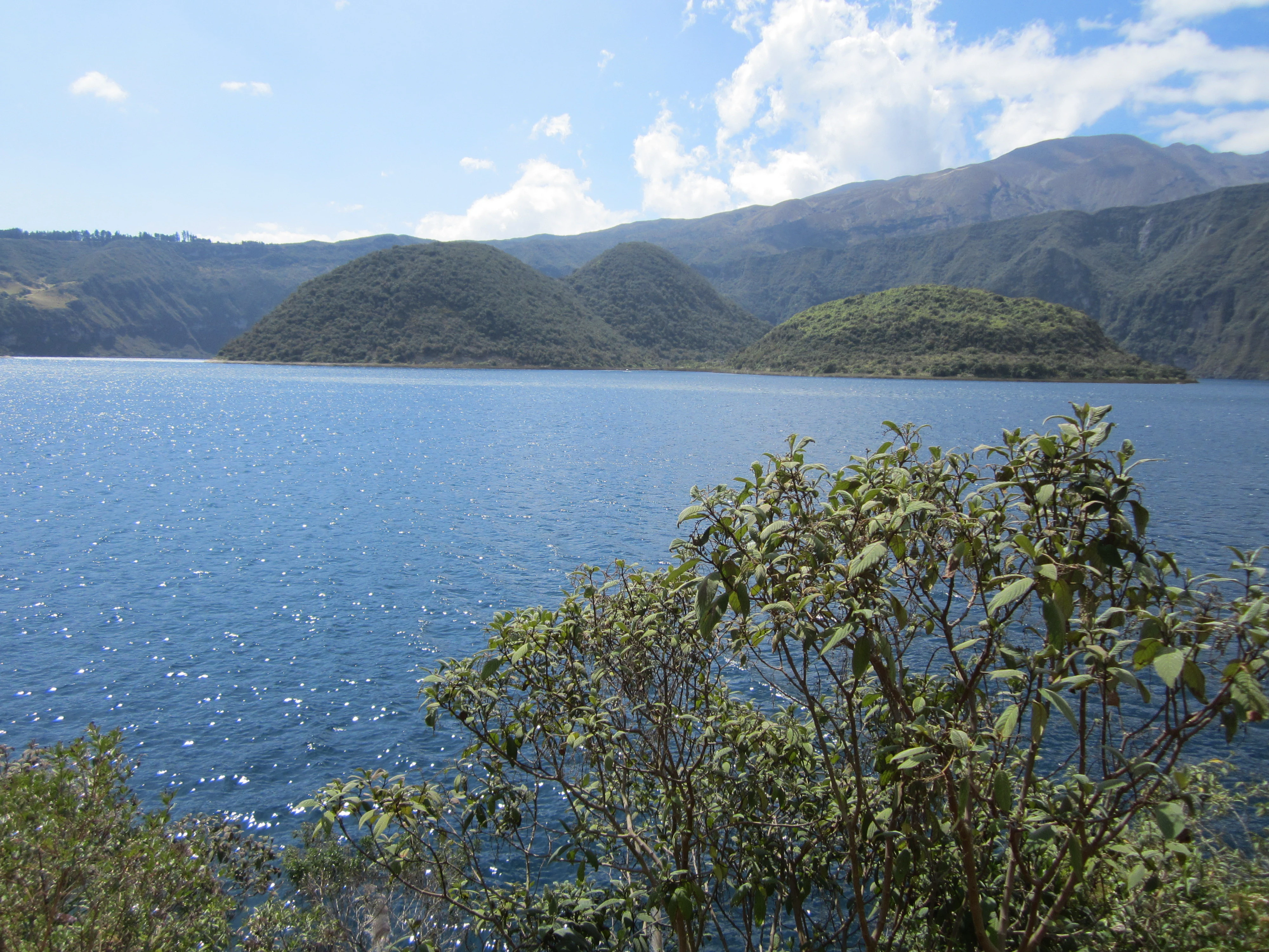
Laguna de Cuicocha is one of the park's most iconic features: a deep crater lake of volcanic origin, framed by steep walls and dotted with two inhabited islands, Teodoro Wolf and Yerovi. Surrounding the lake are well known viewpoints, walking trails, and rural landscapes that blend agricultural land with the park's wild margins.
Geologically, the park's foundations reflect a layered mix of intrusive and volcanic units, with the Apuela Batholith, Colorado Unit, Naranjal Unit, and Zapallo Formation creating distinct substrates that shape soils and vegetation. Landforms are further diversified by tectonic and volcanic processes that have produced terraces, mountain slopes, volcanic cones, and hillside relief across the broader reserve.

Cotacachi Cayapas National Park ecosystems, habitats, and plant life
The vertical compression of ecosystems within Cotacachi Cayapas supports an unusually rich mosaic of habitats. The park falls largely within the Chocó biogeographic province, one of the world's most biodiverse regions, but the rise into the Andes also brings páramo and highland forest systems that are distinct from the coastal lowlands.
Eight principal ecosystems cover roughly 94 percent of the territory. Evergreen piedmont forest of the western Andean cordillera is dominant, followed by lower montane evergreen forest and montane forest at mid-elevations. Smaller but significant areas include high-elevation montane forest, lowland Chocó evergreen forest of the equatorial zone, and three types of páramo: pajonal herbazal, shrubby arbustal, and rare floodable herbazal. Water bodies and lightly intervened areas account for the remaining surface.
This layered ecosystem structure gives the park exceptional botanical significance. More than two thousand vascular plant species have been recorded in its buffer zone, including extremely high orchid diversity, with 201 documented orchid species alone. Many of these species are narrow endemics tied to specific altitudinal or microclimatic conditions, making the park's gradient unusually valuable for plant conservation.
Cotacachi Cayapas National Park wildlife and species highlights
Cotacachi Cayapas is internationally recognized for its birdlife. Estimates suggest five hundred to six hundred bird species inhabit the park, with documented populations of several globally threatened species. Among the most notable are the plumbeous forest falcon, the scale-backed ground cuckoo, and the long-wattled umbrellabird, for which the park may be the most important refuge in all of Ecuador.
Lower elevations are home to Chocó lowland specialists, including the harpy eagle, great curassow, great green macaw, multicolor toucanet, scarlet-breasted dacnis, and the whiskered tanager, although the limited extent of lowland forest within the park raises concerns about the long-term viability of some populations. Higher elevations historically hosted the yellow-eared parrot, whose small flocks were once seen in the surrounding highlands.
The park's mammal fauna includes a remarkable roster of threatened species, ranging from the woolly opossum and bushy-tailed olingo in the forests, to the mountain paca, the spectacled bear, the jaguar, and the tigrillo in varied elevations. Aquatic and riparian zones shelter the neotropical river otter and the crab-eating rat, while primates including the brown spider monkey and rare bats such as the spectral bat and the broad-nosed bat occupy specific niches in the canopy and understory. The herpetofauna and insect fauna are believed to be rich but remain incompletely documented.
Cotacachi Cayapas National Park conservation status and protection priorities
Cotacachi Cayapas is a conservation anchor for northwestern Ecuador. Its protected status dates to 1968, making it the second oldest protected area in continental Ecuador, and its 2019 reclassification to national park status gives it the country's highest tier of protection. The park is listed as an Important Bird and Biodiversity Area, reflecting its global relevance for threatened and endemic avifauna.
Forest cover is overwhelmingly dominant, with native forest accounting for more than 88 percent of the land surface, and páramo adding another 10 percent. Only a tiny fraction is dedicated to agricultural or plantation use, much of which predates the original protection declaration. This high proportion of intact habitat underpins the park's importance as a refuge for species that have lost habitat elsewhere in the region.
The park's continuity across the Andean-to-coastal gradient is itself a conservation feature. By protecting an unbroken vertical sequence of ecosystems, the reserve safeguards seasonal migration corridors, altitudinal range shifts for species responding to climate change, and refugia for narrow endemics. Climate projections suggest warmer temperatures and more variable precipitation in coming decades, making elevational connectivity within the park increasingly important for long-term species survival.
That said, conservation is not without challenges. Illegal logging, hunting, and agricultural encroachment have been documented in surrounding areas, and the relatively small area of lowland forest limits population viability for some threatened species. Ongoing management planning and the integration of community-based conservation, particularly with Afro-Esmeraldeño and Chachi populations, remain central to the park's protection strategy.
Cotacachi Cayapas National Park cultural meaning and human context
Cotacachi Cayapas overlaps with territories historically inhabited by Chachi and Afro-Esmeraldeño communities, whose cultural heritage is woven into the park's identity. The Chachi, traditionally associated with the river systems of Esmeraldas, lived in highland regions before displacement, and their oral traditions describe movement from the Ibarra-Quito corridor to the Esmeraldas lowlands, where they established settlements along the Cayapas and Zapallo Grande rivers, with the legendary Pueblo Viejo occupied into the mid-twentieth century.
Afro-Esmeraldeño communities trace their presence in the region to the colonial period, when descendants of enslaved Africans were brought to the area to work in textile and mining economies. Today these communities maintain cultural traditions in the lowland river valleys surrounding the park, coexisting with Chachi populations and contributing to the region's distinctive multicultural landscape.
In the highlands, archaeological finds at Cotacachi, Quiroga, and other sites of the Inter-Andean corridor indicate long-standing indigenous presence, and pre-Columbian remains have been reported on Isla Yerovi in Laguna de Cuicocha. Pre-colonial evidence at Hacienda Piñán adds another anchor point for the region's deep cultural heritage, illustrating that human activity within and around what is now the park extends back centuries before modern conservation designations.
Top sights and standout views in Cotacachi Cayapas National Park
Cotacachi Cayapas stands out for the sheer scale of its altitudinal gradient, which packs Andean páramo, montane cloud forest, piedmont forest, and lowland Chocó rainforest into a single protected territory. This vertical diversity supports one of the highest concentrations of biodiversity in northwestern Ecuador, including more than two thousand vascular plant species and an extraordinary avifauna of five hundred to six hundred species.
Aside from ecology, the park is distinguished by Laguna de Cuicocha, a celebrated volcanic crater lake whose islands and viewpoints draw visitors from across northern Ecuador. The cultural depth of the surrounding region, with long-standing Chachi and Afro-Esmeraldeño communities, adds further identity. Recognition as an Important Bird and Biodiversity Area and inclusion in a UNESCO Global Geopark underscore the park's dual role as both a natural refuge and a cultural-geological treasure within Ecuador.
Best time to visit Cotacachi Cayapas National Park
The most rewarding times to explore Cotacachi Cayapas generally align with Ecuador's drier and clearer seasons, which often fall between roughly June and September in the highlands and along the western slopes. During these months, the views from high-elevation areas like Laguna de Cuicocha tend to be clearer, the páramo grasses are at their golden peak, and birdwatching around the lake and highland forest edges is productive.
The lower, wetter zones of the park remain lush throughout the year, but trails can be more challenging during heavy rainfall, which typically peaks between December and April. For visitors interested primarily in lowland birdwatching, river systems, or the forested lower slopes, the slightly drier months still offer good access, though rainforest atmosphere is at its most intense during the wetter season.
Climate change is gradually shifting these traditional patterns. Higher elevations of the park are projected to become warmer and drier, while lower zones are likely to grow warmer and wetter. Travelers should plan for variable weather, prepare for significant temperature differences across elevations, and treat broad seasonal generalizations as starting points rather than fixed guarantees.