
Mori Atlas logo
Park guides

Seasonal context for glacial fiords, rainforest, peaks, and tracks

Fiordland National Park seasonal visit planner for Southland Region conditions

Explore Fiordland National Park's guides for fiords, rainforest, alpine lakes, waterfalls, and Southern Alps wilderness. The timing guide weighs summer's long daylight and favorable conditions on multi-day tracks against high rainfall and cool weather year-round, plus quieter shoulder-season trails for prepared visitors.

Related tags

Temperate RainforestGlacial LandscapeUNESCO World Heritage SiteFiordsEndemic Wildlife

New Zealand's largest national park, protecting glacier-carved fiords and temperate rainforests in the southwestern South Island

Fiordland National Park

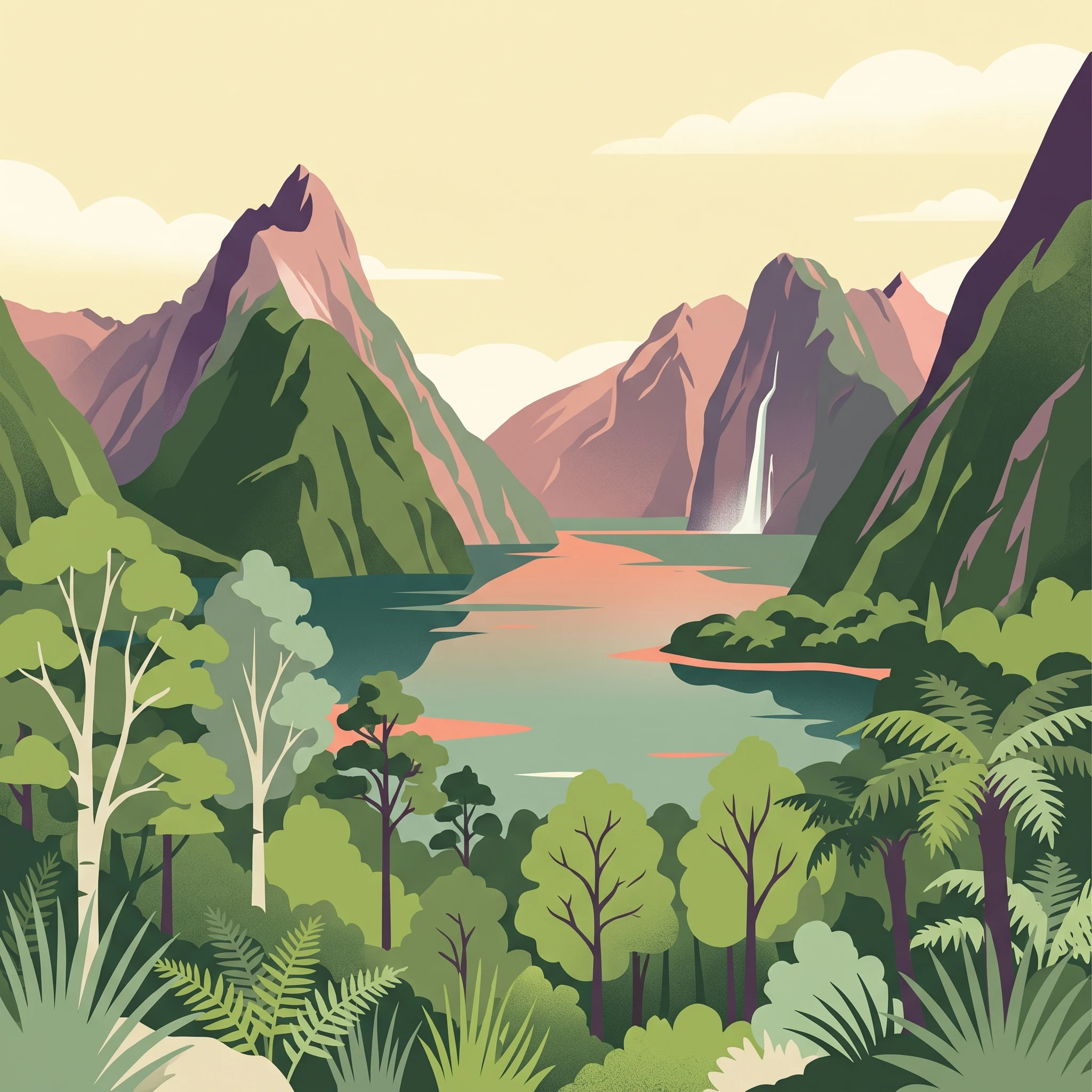
Fiordland National Park occupies the entire southwestern corner of New Zealand's South Island, representing the nation's largest protected area and one of its most ecologically significant landscapes. The park's defining feature is its series of fifteen fiords, carved by glacial action during cooler periods and now forming dramatic waterways that penetrate up to 40 kilometres inland. These U-shaped valleys are bounded by sheer cliffs and steep granite peaks that create one of the most visually striking landscapes in the world. The park forms the heart of Te Wāhipounamu, a UNESCO World Heritage Site recognized for its outstanding natural values including geological processes, ecosystems, and biodiversity. The southern ranges of the Southern Alps dominate the interior, with the Darran Mountains containing the park's highest peaks. Multiple large lakes, including Lake Te Anau and Lake Manapouri, lie partly within the park's boundaries, their glacier-carved arms resembling the coastal fiords. The extraordinary rainfall that characterizes the region supports lush temperate rainforests that blanket the valley sides, creating a landscape of remarkable ecological complexity. This combination of dramatic terrain, pristine ecosystems, and significant biodiversity makes Fiordland a cornerstone of New Zealand's conservation estate.

Location
New Zealand
Park type
National park
Established
1952
Area
12,607 km²
Highest point
2,500 m
Fiordland National Park Protected Landscape
1 guide

Compare specialized park resources to match specific planning questions and seasonal travel timelines.

Published Guides And Seasonal Planning Resources For Fiordland National Park

Access the complete collection of published guides dedicated to exploring Fiordland National Park through structured topic analysis. Review the seasonal visit planner to evaluate summer daylight and rainfall patterns before selecting the ideal timeframe for alpine trekking.
MoriAtlas Explorer

Continue Exploring Fiordland National Park's Dramatic Geography and Protected Landscapes

Delve deeper into the mapped geography and protected-area context of Fiordland National Park. Understand its unique glacial landforms, vast alpine wilderness, and the significance of its ancient temperate rainforests. This exploration reveals the core of the Te Wāhipounamu World Heritage Area and the intricate natural systems that define this remarkable New Zealand national park.