
Mori Atlas logo
Nature reserveGeisingberg

Trace the geographic boundaries and unique volcanic terrain of this protected Saxon mountain peak

Geisingberg Nature Reserve and Volcanic Landscape Discovery in the Eastern Ore Mountains of Saxony

(Naturschutzgebiet Geisingberg)

Geisingberg rises as a prominent 820-meter basalt dome within the eastern Ore Mountains of Saxony. This nature reserve preserves a distinct mosaic of upland meadows, bogs, and mixed forests that contrast sharply with the surrounding gneiss ridge terrain. Use our geographic data to analyze the park boundaries, volcanic geology, and historical significance of this iconic Saxon landmark.

volcanic mountainbasalt peakErzgebirgeOsterzgebirgeSaxon mountainsnature reserve
A flat-style digital illustration of a green mountain peak under a setting sun, surrounded by rolling hills, forests, and meadows in the Ore Mountains.

Geisingberg

Nature reserve

Park overview

Structured park overview, official facts, and landscape profile for Geisingberg

Geisingberg park facts, protected area profile, and essential visitor context

Review the core facts for Geisingberg, including designation, size, terrain, visitor scale, habitats, and operating context in one park-focused overview.

About Geisingberg

Geisingberg stands among the most recognizable peaks of the eastern Erzgebirge, a region more commonly associated with centuries of silver and tin mining than with volcanic geology. Its 820.6 meter summit is formed not of gneiss or slate but of basalt, a relic of the same Tertiary volcanism that shaped the neighboring Luchberg and the more distant Scheibenberg. Geologically, the mountain is classified as a Quellkuppe, a dome produced when viscous lava pushed upward but failed to flow outward, leaving a compact, steep-sided volcanic cone.

Set between the historic mining town of Altenberg and its district of Geising, the mountain occupies a visually prominent position on the Saxon side of the upper Osterzgebirge. The Müglitztalbahn, a narrow-gauge railway reaching Altenberg from Heidenau, runs along its northern and western flanks and historically drove much of the mountain's recreational development. Hiking routes from Altenberg, Geising, and Bärenstein converge on the summit, and the Bergwanderweg Eisenach–Budapest passes over the peak, embedding it in a continent-spanning trail system.

The natural and cultural value of Geisingberg is preserved within the Naturschutzgebiet Geisingberg, a landscape protection area that has grown over more than a century from a small meadow purchase by the Landesverein Sächsischer Heimatschutz to a protected area exceeding 300 hectares. Together with the Louisenturm observation tower, the traditional Bergbaude, the historic ski jumping venue, and the mosaic of wet meadows, mires, and mixed forests, Geisingberg represents a distinctive blend of volcanic landform, Saxon mountain heritage, and ecologically rich upland pasture in the heart of the Ore Mountains.

Quick facts and research context for Geisingberg

Geisingberg is a 820.6 meter basalt cone in the Osterzgebirge, situated between the mining town of Altenberg and its district of Geising in the Free State of Saxony. The peak is one of the northernmost Quellkuppen associated with the Bohemian Tertiary volcanism, alongside the Luchberg and the Scheibenberg.

The summit feature is the Louisenturm, an 18 meter observation tower inaugurated in 1891 and named after Princess Louise of Austria-Tuscany. The mountain also hosted the historic Sachsenschanze ski jumping hill and was a venue in the early professional era of German alpine ski racing. The surrounding protected landscape, the Naturschutzgebiet Geisingberg, has been formally conserved since the 1960s and expanded in the 1990s to more than 300 hectares.

Protection and recognition

Terrestrial protected area designation established in 1960

Geisingberg Protection Status and Documented Conservation History

Geisingberg holds a documented terrestrial protection status established in 1960. Official records detail the historical designation framework and conservation scope for this landscape.

Protection details

Protection scope
Terrestrial
Designated year
1960
Transboundary protection
No
Park context

Deeper park guide and search-rich context for Geisingberg

Geisingberg history, landscape, wildlife, and travel context

Explore Geisingberg through its history, landscape character, ecosystems, wildlife, conservation priorities, cultural context, and seasonal travel timing in a structured park guide built for atlas discovery and search intent.

Why Geisingberg stands out

Geisingberg is best known for its conical basalt summit that interrupts the otherwise gneiss-dominated ridge of the eastern Erzgebirge. Its profile, dark volcanic rock, and isolated position above Altenberg give it a visual identity distinct from the surrounding mining mountains. The mountain is equally known for the Louisenturm, the 1891 observation tower and summit lodge that have made it a classic destination on the Bergwanderweg Eisenach, Budapest long-distance trail. Beyond its scenic and architectural landmarks, Geisingberg is recognized for its protected upland meadows, subcontinental flora, and history as an early venue for competitive skiing and ski jumping in Saxony.
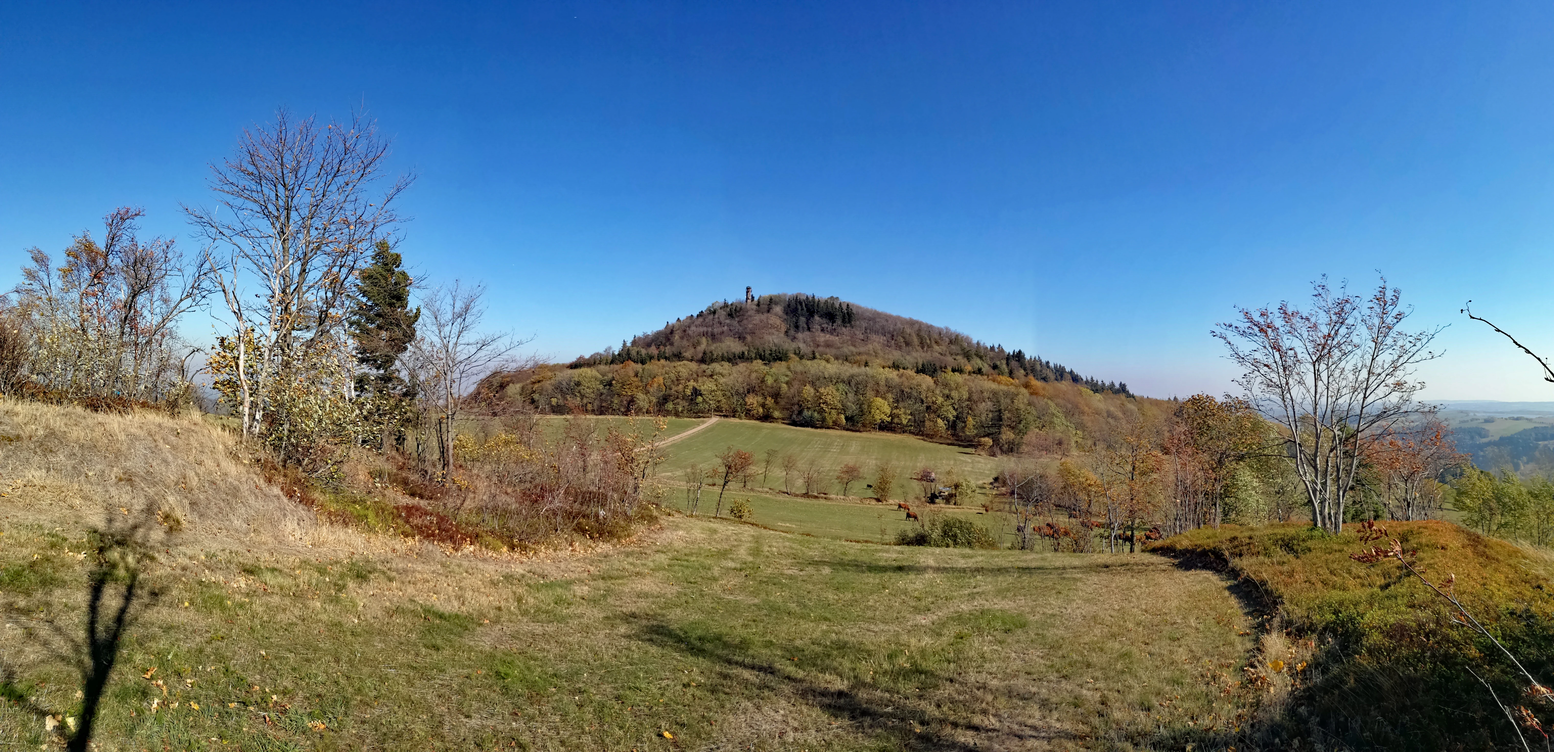
Panoramic landscape showing the conical Geisingberg mountain covered in trees, rising above open, grassy meadows under a clear blue sky.
A wide view of the Geisingberg mountain in the Ore Mountains, Saxony.

Geisingberg history and protected-area timeline

The cultural history of Geisingberg reaches back well before its formal conservation. King Anton of Saxony and other Saxon monarchs used early summit pavilions for hunting in the first half of the nineteenth century, and on 23 July 1828 Alexander von Humboldt visited the peak to carry out altitude measurements. Carl Mutze from Geising was responsible for early tourist infrastructure, building a viewing platform and a log cabin around a maple tree on the summit.

The opening of the Müglitztalbahn as far as Geising in 1890 marked a turning point, bringing visitors into the upper Osterzgebirge. An Altenberg mountain association founded in 1889 pushed for a proper observation tower, and on 27 September 1891 the Louisenturm was inaugurated in place of the earlier timber platform. The tower, 18 meters tall and reached by 88 steps, was named after Princess Louise of Austria-Tuscany, the fiancée of the future King Friedrich August III of Saxony. A simple accommodation building followed in 1898, replaced in 1906 by the stone Bergbaude that still welcomes visitors today.

Attempts at tin mining on the western slope, inspired by the nearby Altenberg tin deposits, ran intermittently between 1749 and 1842 without producing workable ore. Basalt quarrying on the eastern slope, by contrast, intensified around 1900 and led to the construction of a cableway to the Hartmannmühle station of the Müglitztalbahn in 1908. A planned large chamber blasting in 1930, involving 40,000 kilograms of explosives, was halted after protests from the Landesverein Sächsischer Heimatschutz and other groups fearful that continued extraction could erase the mountain; the quarry was subsequently closed.

Geisingberg also played a notable role in the early history of German winter sport. The mountain's downhill course, known as the Sachsenabfahrt, was used in the 1937 German Alpine Ski Championships. In January 1933 a ski jumping hill on the western slope, the Sachsenschanze, was inaugurated before an estimated 6,000 spectators, with jumps reaching 59 meters. After the Second World War the venue continued operating under the name Schanze des Friedens into the 1950s and hosted international events.

Conservation history began in 1911, when the Landesverein Sächsischer Heimatschutz petitioned for protection of the Geisingberg meadows. In 1925 the association purchased around ten hectares and leased the land to local farmers as hay meadows, an arrangement that preserved exceptional habitat diversity in the face of intensifying agriculture. In the 1960s the Geisingberg and parts of its surrounding meadows were formally designated a Naturschutzgebiet, and in the 1990s the area was expanded to more than 300 hectares. Between 1999 and 2008 the Bundesamt für Naturschutz supported the conservation and ecological restoration of this structured open landscape through the Bergwiesen im Osterzgebirge project.

Geisingberg landscape and geographic character

Geisingberg is a compact conical mountain whose dark volcanic rock contrasts visibly with the lighter gneiss ridges of the surrounding Osterzgebirge. Rising to 820.6 meters above sea level, the peak has a topographic prominence of about 66 meters and a dominance of roughly 1.8 kilometers, with the neighboring Raupennest marking the next higher point along the ridge.

The mountain's flanks gather an unusually varied mosaic of land cover for an Ore Mountains peak. Around the summit and along the slopes are open upland meadows, mires, wet grasslands, and mixed mountain forest, interspersed with traditional Lesesteinhaufen stone walls and unchannelized brook courses that retain much of their pre-industrial character. The valley of the Müglitz river lies to the north and west and is followed by the Müglitztalbahn line, which hugs the lower slopes and provides a constant visual frame for the mountain's silhouette. To the east and south, the terrain steps down through the broader Erzgebirge uplands toward the border with the Czech Republic.
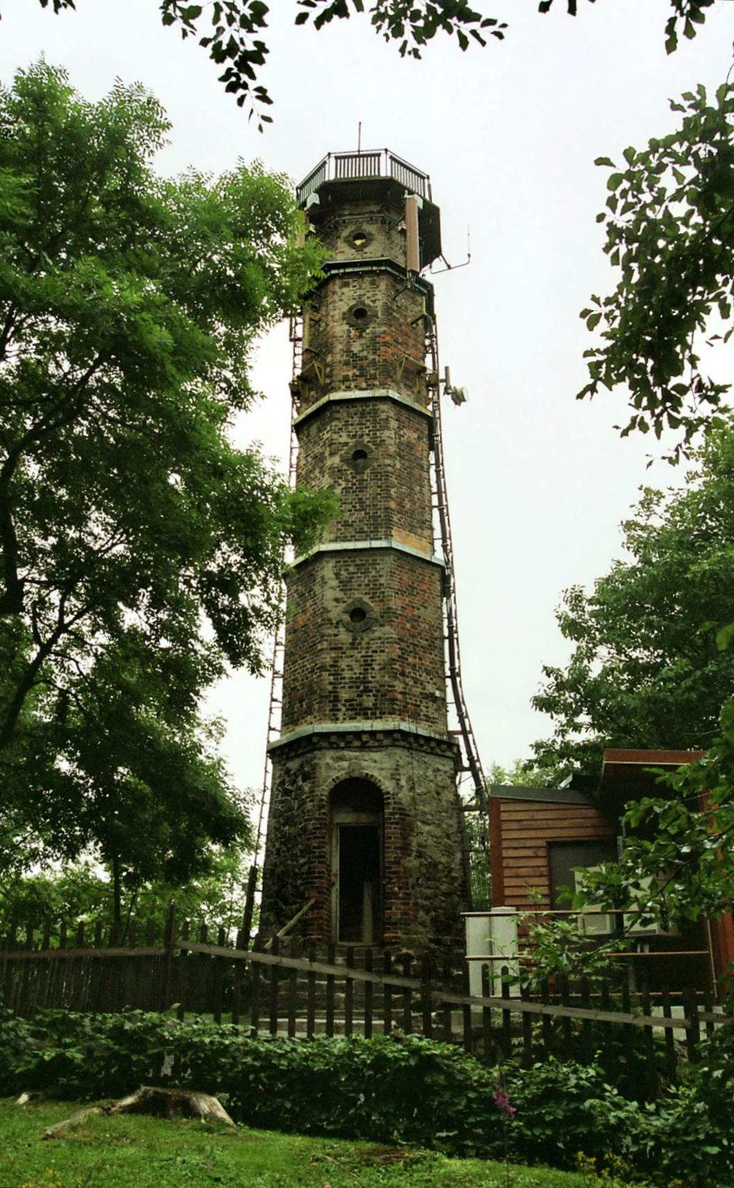
A tall, historic brick observation tower, the Louisenturm, rises above the surrounding trees on a summit, featuring an open arched doorway at the base and a viewing deck at the top.
The Louisenturm, an observation tower located on the summit of Geisingberg.

Geisingberg ecosystems, habitats, and plant life

Ecologically, Geisingberg sits at the overlap between central European upland meadow systems and the subcontinental flora of the Bohemian highlands. The protected area preserves Borstgrasrasen, or mat-grass swards, together with lowland and transitional mires, wet meadows, and species-rich mixed forest. These habitats support a ground flora dominated by subcontinental species, including woolly buttercup, sweet spurge, and purple hawkweed, giving the meadows a botanical character more typical of the Bohemian hills than of the wetter western Erzgebirge.

The woodland around the mountain is similarly mixed. Norway spruce is present but does not dominate exclusively; the canopy also includes European beech, common ash, sycamore maple, and Norway maple. This structural and species diversity, combined with extensive open meadows and bog remnants, makes the Naturschutzgebiet Geisingberg one of the most ecologically heterogeneous protected areas in the Saxon section of the Ore Mountains.
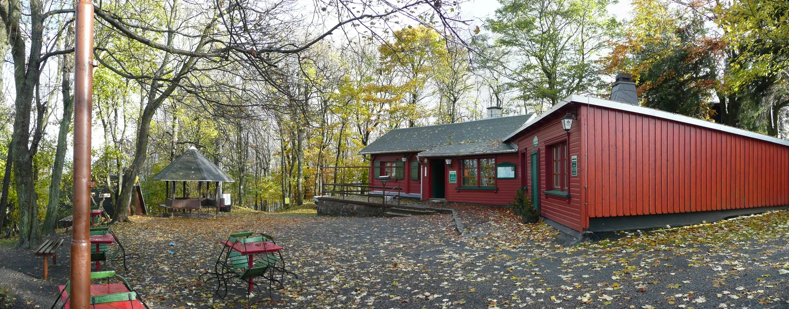
A red wooden mountain hut with a metal roof surrounded by autumn trees and fallen leaves on a paved summit area.
The Geisingbergbaude mountain hut situated on the summit of the Geisingberg.

Geisingberg conservation status and protection priorities

The Naturschutzgebiet Geisingberg represents more than a century of organized landscape protection in Saxon mountain terrain. Early advocacy by the Landesverein Sächsischer Heimatschutz and the deliberate purchase of hay meadow parcels in 1925 prevented the intensification of agriculture and preserved soil moisture patterns that sustain the mountain's mires and wet grasslands. Formal designation as a Naturschutzgebiet in the 1960s, followed by major boundary extensions in the 1990s, consolidated the protected area into a contiguous landscape spanning more than 300 hectares.

The conservation value of the mountain rests on the unusual combination of a volcanic substrate, traditional hay-meadow management, unaltered stream courses, and intact Lesesteinhaufen stone walls, elements that together support a rich mosaic of montane and subcontinental habitats. Federal support through the Bergwiesen im Osterzgebirge project between 1999 and 2008, financed with roughly 5.37 million euros by the Bundesamt für Naturschutz, enabled extensive land-use agreements and ecological upgrades that have reinforced the semi-open, species-rich character of the landscape.

Geisingberg cultural meaning and human context

Geisingberg sits at the heart of Saxon mining and mountain heritage, with the Bergstadt Altenberg and the village of Geising serving as its cultural anchors. The region has long been shaped by silver and tin mining, and even unsuccessful attempts to extract tin ore from the western slope of Geisingberg in the eighteenth and nineteenth centuries tie the peak into that broader narrative of Erzgebirge mining culture.

The summit itself carries a distinct Saxon royal and aristocratic memory: early nineteenth-century hunting pavilions used by King Anton, the 1828 visit of Alexander von Humboldt, and the naming of the Louisenturm after the fiancée of the future King Friedrich August III. The mountain lodge, ski jumping tradition, and long-distance hiking route add further layers of recreational and sporting heritage that link Geisingberg to wider German and Central European mountain culture.
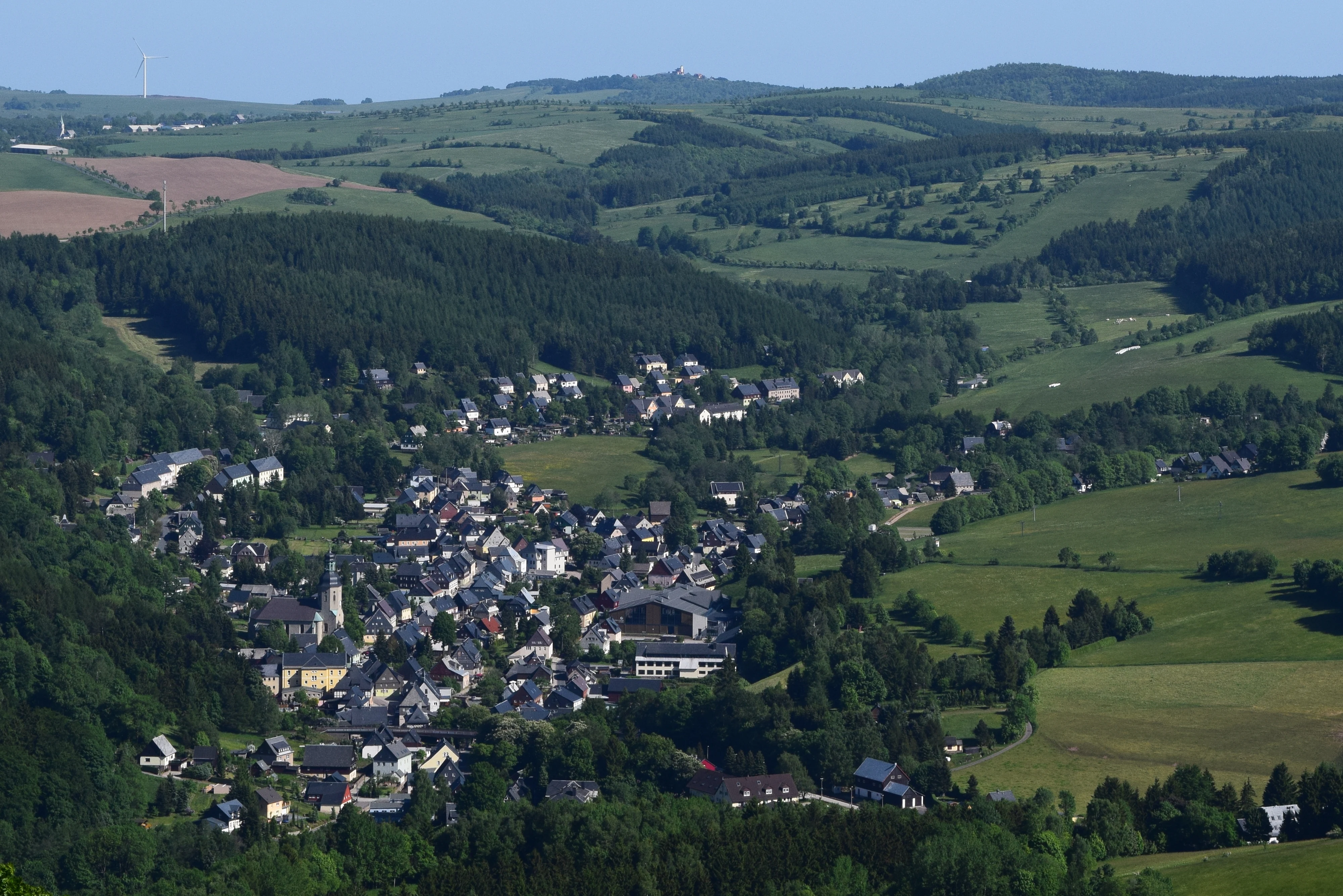
A wide, elevated view looking down into a green valley containing the small town of Geising, surrounded by rolling hills and patches of forest.
Elevated view overlooking the town of Geising from the Geisingberg mountain.

Top sights and standout views in Geisingberg

The Louisenturm observation tower and the adjacent Bergbaude summit lodge define the human focal point of the mountain, while the dark basalt cone rising above the Saxon mining towns of Altenberg and Geising defines its visual identity. Long-distance hikers encounter Geisingberg as a waypoint on the Bergwanderweg Eisenach–Budapest, while conservation visitors encounter a century-old tradition of meadow and mire protection in the Ore Mountains.

Equally distinctive is the combination of geological and ecological rarity: a Quellkuppe basalt peak, subcontinental flora more typical of the Bohemian hills, traditional stone wall clearings, and the historic memory of early Saxon ski jumping and alpine racing on the Sachsenabfahrt and the Sachsenschanze.

Best time to visit Geisingberg

Late spring and early summer bring the Geisingberg meadows into their richest flowering phase, when the subcontinental ground flora, including woolly buttercup and sweet spurge, and the structurally diverse hay meadows are most visible before the late-summer hay cut. This period is also typically the most rewarding for walking the summit routes from Altenberg, Geising, or Bärenstein, when the basalt cone and the surrounding Erzgebirge ridges offer clear panoramic views from the Louisenturm.

In winter the mountain takes on a quieter character, with snow settling on the dark volcanic slopes and reinforcing the contrast between Geisingberg and the lighter gneiss ridges around it, while the network of meadow paths and summit trails takes on a more subdued seasonal atmosphere.

Monthly climate preview

Long-term representative monthly temperature and precipitation patterns for Geisingberg in Saxony

Geisingberg Climate Normals, Annual Temperature and Precipitation Rhythm

Representative coordinates record sustained temperature shifts and measured precipitation totals across twelve distinct intervals for Geisingberg. Detailed monthly climatology profiles reveal broader thermal rhythms and precipitation averages beyond this summary view.
Annual mean8 °C
-2 °C19 °C
Jan-2°
Feb-1°
Mar
Apr
May13°
Jun17°
Jul19°
Aug19°
Sep14°
Oct
Nov
Dec-1°
Warmest month
July

19.1 °C

Coolest month
January

-1.8 °C

Wettest month
July

2.8 mm/day

Driest month
April

1.3 mm/day

Park location guide

Geography guide, regional context, and park location map for Geisingberg

Geisingberg park geography, regions, and map view in Germany

Understand where Geisingberg sits in Germany through a broader geographic reading of the surrounding landscape, nearby location context, and its mapped position within the national park landscape.

How Geisingberg fits into Germany

Germany is a federal republic in Western and Central Europe with a population of over 83 million across sixteen constituent states. It is Europe's largest economy by nominal GDP and a major global exporter and importer. The capital is Berlin, and the country borders Denmark, Poland, Czech Republic, Austria, Switzerland, France, Luxembourg, Belgium, and the Netherlands.

Wider geography shaping Geisingberg in Germany

Germany is located in Western and Central Europe, spanning 357,022 km². It borders Denmark to the north, Poland and the Czech Republic to the east, Austria and Switzerland to the south, and France, Luxembourg, Belgium, and the Netherlands to the west. The country has coastlines on the Baltic Sea and North Sea to the north, with the Alps located in the southern region.

Map view of Geisingberg

Use this park location map to pinpoint Geisingberg in Germany, understand its exact geographic position, and read its mapped placement within the surrounding landscape more clearly.

Pigeon | © OpenStreetMap contributors

Location context for Geisingberg

Saxony

Explore detailed photographs of the basalt summit, upland meadows, and protected terrain.

Geisingberg Landscapes and Scenery: Visualizing the Volcanic Peak of the Ore Mountains

Photographs capture the striking volcanic profile of Geisingberg and the diverse mosaic of protected upland meadows, mires, and mixed mountain forests covering its slopes. Visual documentation reveals the geological contrast and rare habitats that define the character of this protected reserve.

Panoramic landscape showing the conical Geisingberg mountain covered in trees, rising above open, grassy meadows under a clear blue sky.

A wide, sunny mountain meadow in spring, filled with yellow buttercups and purple orchids in the foreground, with trees and a forest edge in the background.

A tall, historic brick observation tower, the Louisenturm, rises above the surrounding trees on a summit, featuring an open arched doorway at the base and a viewing deck at the top.

A red wooden mountain hut with a metal roof surrounded by autumn trees and fallen leaves on a paved summit area.

A historical, sepia-toned postcard view of a conical, forested mountain with a tall, thin observation tower situated at the summit, viewed from an open field below.

A wide, elevated view looking down into a green valley containing the small town of Geising, surrounded by rolling hills and patches of forest.

Park atlas

Compare nearby volcanic peaks and protected nature reserves across the surrounding region

Other Parks Near Geisingberg and Related Protected Landscapes in the Ore Mountains

Browse protected areas near Geisingberg to compare adjacent volcanic peaks, upland meadows, and forest reserves across the eastern Ore Mountains. Continuing into regional park exploration reveals broader geological patterns and conservation landscapes throughout the Saxon borderlands.
Nature reserveSächsische Schweiz-Osterzgebirge
About 1.5 km away#1 closest

North

Weicholdswald Nature Reserve: Mapped Protected Landscapes of the Eastern Ore Mountains

A preserved beech forest enclave within the Sächsische Schweiz-Osterzgebirge

Weicholdswald stands as a primary nature reserve in the Sächsische Schweiz-Osterzgebirge district, known for its 160-year-old beech trees and extensive deadwood habitats. This protected area provides a rare look at near-natural forest ecosystems that have remained free from historic clear-cutting or coniferous monocultures, maintaining rich biodiversity across its streams and granitic slopes.

Area
1.037 km²
Established
1961
IUCN
IV
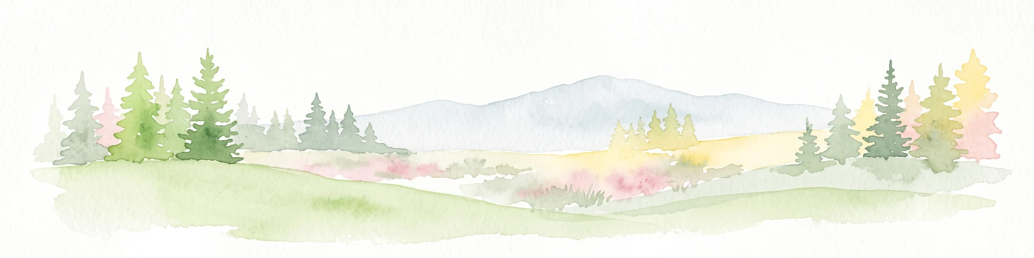
A wide watercolor painting depicting a green landscape with rolling hills, scattered trees, and a pale sky.
Nature reserveSaxony
About 3 km away#2 closest

Southeast

Bergwiesen im Osterzgebirge Nature Reserve: Saxony Regional Protected Area Atlas

Mapping cultural montane meadow landscapes and stone-strip field systems.

Bergwiesen im Osterzgebirge protects an extensive network of open-land habitats across the eastern Ore Mountains of Saxony. The area is defined by its complex mosaic of mountain meadows, mat-grass swards, and remnants of bog systems. This record examines the geographic extent of these preserved lands and their role in maintaining traditional agricultural heritage within the regional mountain topography.

Established
1999
Relief
Mountain
Climate
Temperate
Scope
Terrestrial
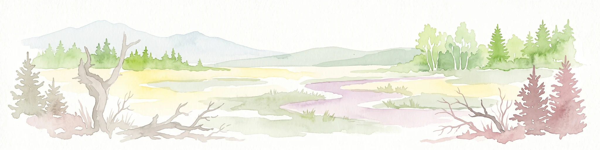
Watercolor painting of a peat bog with a small meandering stream, scattered deadwood, and a distant mountain range under a pale sky.
Nature reserveSachsen
About 4.7 km away#3 closest

South

Georgenfelder Hochmoor Nature Reserve: A Protected Highland Bog in the Ore Mountains

Examining the geography and mapped peatland terrain in the Sachsen region

Georgenfelder Hochmoor is a distinct ridge-top raised bog located on the high plateau of the Osterzgebirge. This protected area maintains a significant ten-thousand-year peat profile and plays a vital role in the watershed divide of the Ore Mountains, offering a clear example of modern transboundary conservation and mountain moorland development.

Area
0.135 km²
Established
1961
IUCN
IV
Visitors
17.5K annual
A soft watercolor illustration featuring a panoramic view of a peat bog landscape with evergreen trees and distant rolling mountains under a white background.
Nature reserveÚstecký kraj
About 5.1 km away#4 closest

South

Rašeliniště U jezera, Cínovecké rašeliniště: Protected Nature Reserve and Bog Landscape

Geography and environmental context in the Ústecký kraj mountain range.

Situated at high elevations in the Ore Mountains, Rašeliniště U jezera, Cínovecké rašeliniště protects a functioning example of a rare raised bog ecosystem. This reserve contains diverse bog-pool flora and peat-forming habitats, standing as a significant site for understanding the montane geography of northern Bohemia and the ongoing conservation of Krušné hory wilderness areas.

Area
0.601 km²
Established
2001
IUCN
IV
Relief
Mountain
Nature reserveSachsen
About 10 km away#5 closest

West

Gimmlitztal Nature Reserve in the Ore Mountains: Mapped Protected Landscapes

Exploring the stream valley geography of Saxony, Germany.

Gimmlitztal is a significant nature reserve in the German state of Saxony that protects the unique hydrology and biodiversity of the Gimmlitz stream corridor. The terrain includes forested slopes and traditional meadow patches, reflecting a long history of human interaction with the Ore Mountain environment. This reserve functions as a continuous green ribbon for regional habitat preservation.

Area
2.578 km²
Established
2015
IUCN
IV
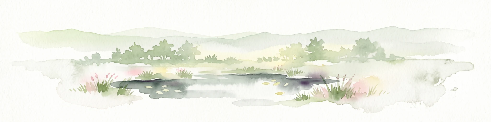
A soft watercolor illustration of a bog landscape with a dark central pool, surrounding marsh vegetation, and distant pale hills.
Nature reserveÚstecký kraj
About 18 km away#6 closest

East

Rájecká rašeliniště Nature Reserve: Protected Peatland and Sandstone Geography in Ústecký kraj

Geographic atlas and protected area landscape summary

Rájecká rašeliniště serves as a critical study in landscape ecology, featuring rare peat-forming vegetation located within the high-relief sandstone formations of the Ústecký kraj. This protected nature reserve provides a unique look at how specialized bog communities thrive despite the porous, water-draining characteristics of the local sandstone terrain, highlighting the site's importance within the Czech conservation landscape.

Area
0.017 km²
Established
2004
IUCN
IV
Water
Major water bodies
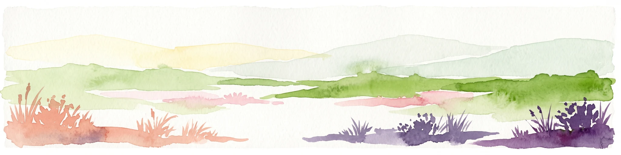
A horizontal watercolor painting showing rolling green hills in the distance and colorful, stylized vegetation in the foreground.
Nature reserveÚstí nad Labem Region
About 20 km away#7 closest

Southeast

Rač Nature Reserve: Volcanic Slopes and Protected Habitats in Ústí nad Labem

Geomorphology and ecological succession in the České středohoří range

Rač Nature Reserve is a landmark for volcanic ecology, preserving a mosaic of trachyte rock formations and open grassland on the slopes of Hradiště u Habří. This protected area serves as a vital refuge for rare steppe-like flora and a high concentration of thermophilic insect species, offering a concentrated look at natural land recovery and geological history in northern Bohemia.

Area
0.154 km²
Established
1953
IUCN
IV
Relief
Mountain
A watercolor illustration depicting rolling, soft hills and green vegetation with distant, faded mountains in the background, set against a plain white background.
Nature reserveGermany
About 21 km away#8 closest

North

Spargründe bei Dohna: Nature Reserve and Protected Valley Landscapes in Germany

Examining the crystalline ravines and forest ecosystems of the Saxon landscape

Spargründe bei Dohna stands as a distinct nature reserve at the northern margin of the Elbtalschiefergebirge. The site encompasses narrow, steeply-sided valleys carved into Dohna Granodiorite, creating a rugged terrain of rocky ridges and shaded deciduous woodland. This geographic overview examines the boundaries and natural features of the reserve, highlighting its role within the wider Müglitztal protected area network.

Area
0.373 km²
Relief
Upland
Climate
Temperate
Access
Easy access

Common questions about visiting, size, designation, and location context for Geisingberg

Geisingberg FAQs for park facts, access, geography, and protected area context

Find quick answers about Geisingberg, including protected-area facts, park geography, trail and visitor context, and how the park fits into its surrounding country and regional landscape.
MoriAtlas Explorer

Continue Your Protected Areas Search Across the Global Atlas

Deepen your exploration by continuing the structured search for national parks and protected areas worldwide. Utilize the comprehensive filtering capabilities to compare different conservation landscapes and refine your understanding of global park geography. Discover more about the distribution and characteristics of protected natural areas.

Global natural geography