
Mori Atlas logo
Park guides

Focused insights and geographical context for planning visits to the Arizona landmark.

Grand Canyon National Park: Complete Collection of Available Park Insight Guides

Access a structured collection of thematic resources designed for exploring the geological depth and vast scale of Grand Canyon National Park. These guides provide specific insights into seasonal access and environmental conditions, helping navigate the diverse topography from the North and South Rims to the Colorado River.

Related tags

Geological WonderCanyon LandscapesUNESCO World Heritage SiteColorado RiverNational Park Service

Iconic steep-sided canyon carved by the Colorado River in northern Arizona

Grand Canyon National Park

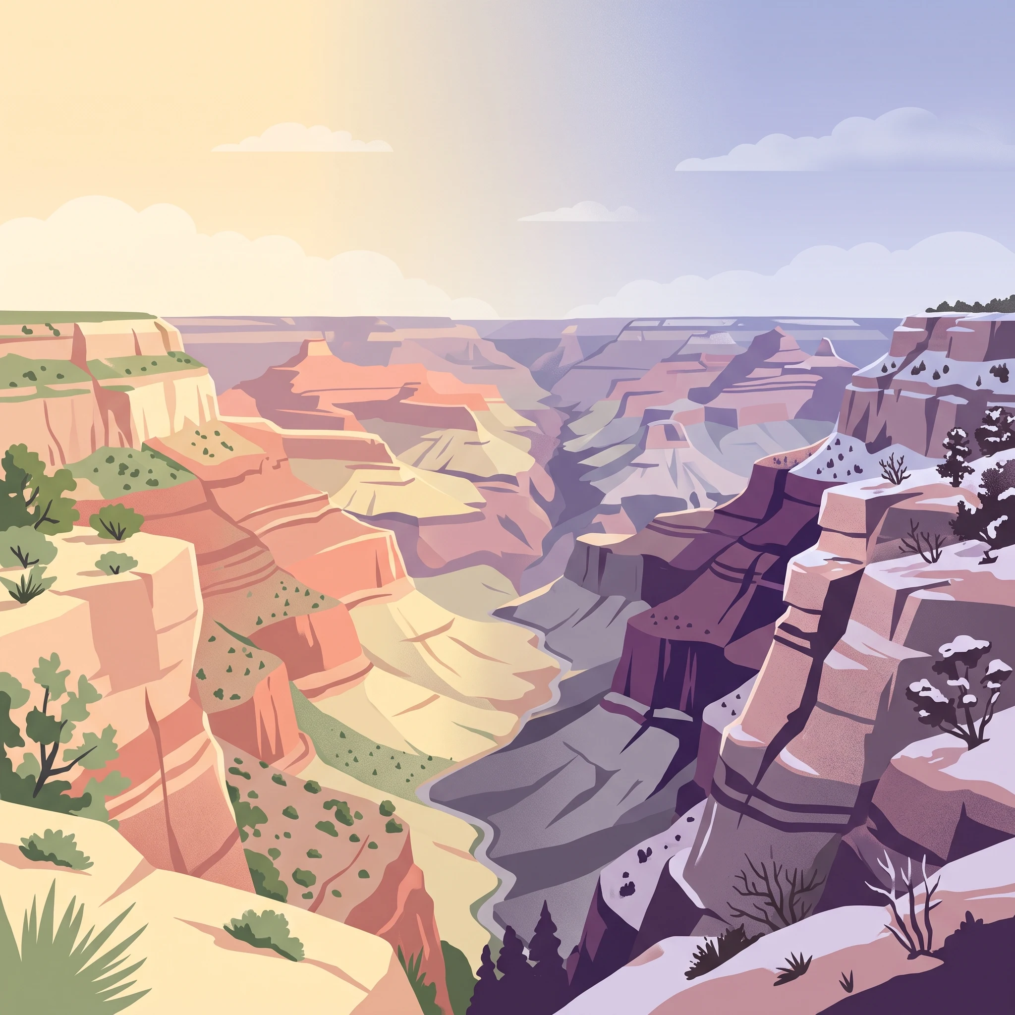
Grand Canyon National Park preserves one of Earth's most spectacular natural landscapes, a place where the immense power of geological time is visible in the exposed rock layers that tell a story spanning nearly two billion years. The canyon was formed through the combined forces of uplift of the Colorado Plateau and the relentless erosive power of the Colorado River and its tributaries, a process that continues today as the river cuts deeper into the ancient rock. The park is divided into two main visitor areas separated by the canyon itself, with the more accessible South Rim accounting for the vast majority of visitor traffic and offering a network of viewpoints, trails, and visitor services centered around Grand Canyon Village, a historic district featuring National Park Service rustic architecture designed by Mary Colter in the early twentieth century. The North Rim sits at a higher elevation exceeding 8,000 feet, offering a cooler, more forested environment with sweeping views across the canyon to the South Rim, though seasonal snowfall closes the road from December through May each year. Beyond the developed areas along the rims, the vast interior of the park remains extremely rugged and remote, accessible only to experienced backpackers and hikers who obtain special permits for overnight backcountry travel.

Location
United States of America
Park type
National park
Established
1919
Area
4,926.1 km²
Highest point
2,400 m
Grand Canyon National Park Atlas
1 guide

Select published topics to coordinate trip timing and rim access requirements.

Grand Canyon National Park Reference Guides and Seasonal Planning

Available publications compile structured geographic insights to assist with targeted landscape planning throughout Grand Canyon National Park. Evaluating seasonal factors like temperature extremes and South Rim versus North Rim accessibility helps resolve critical timing and travel questions.
MoriAtlas Explorer

Continue Exploring Grand Canyon National Park's Protected Landscape and Regional Geography

Delve deeper into understanding Grand Canyon National Park's role as a protected area. Explore its specific geographic features and mapped boundaries to gain a richer perspective on Arizona's natural landscapes. This focused exploration supports a structured discovery of protected lands and their atlas context.

Global natural geography