
Mori Atlas logo
Nature reserveKelzer- und Saarscher Bachtal

Tracing the brook valley networks, forest restoration, and diverse riparian terrain of the Eifel region

Kelzer- und Saarscher Bachtal Protected Nature Reserve and Regional Landscape Geography

Kelzer- und Saarscher Bachtal serves as a vital protected landscape within the Städteregion Aachen, defined by its steep gorge-like stream sections, cascading rock walls, and rare forest fragments. This geographic analysis details the transition from channelized upper reaches to dynamic floodplain habitats, highlighting the restoration of deciduous woodlands and the presence of relict mire vegetation. Explore the complex hydrology and structural diversity that characterize this important component of the North Rhine-Westphalia biotope network.

stream valleybrook habitatdeciduous forestfloodplain forestraised bogwet heath
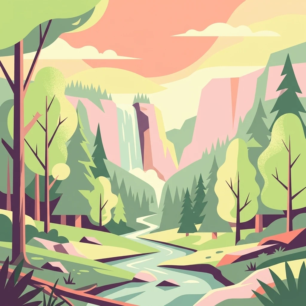
A flat vector-style illustration of a natural valley featuring a flowing stream, evergreen and deciduous trees, rocky cliffs, and a small waterfall in the distance under a warm-toned sky.

Kelzer- und Saarscher Bachtal

Nature reserve

Park overview

Structured park overview, official facts, and landscape profile for Kelzer- und Saarscher Bachtal

Kelzer- und Saarscher Bachtal park facts, protected area profile, and essential visitor context

Review the core facts for Kelzer- und Saarscher Bachtal, including designation, size, terrain, visitor scale, habitats, and operating context in one park-focused overview.

About Kelzer- und Saarscher Bachtal

Kelzer- und Saarscher Bachtal is a small but ecologically dense nature reserve set in the rolling, forested landscape of the northern Eifel, in the western part of North Rhine-Westphalia. It is situated in the municipality of Simmerath, west of Lammersdorf, and abuts the Kalltalsperre, a reservoir that sits on the upper course of the Kall river. The protected area follows the valley course of two small brooks, the Kelzer Bach and the Saarscher Bach, capturing a continuous gradient from open agricultural valley fringes to deeply incised forested gorge.

Although the reserve is modest in size, it concentrates a remarkable variety of habitat types within a short distance. The upper reaches of the western tributaries are straightened and channelized, lined with alder and shrub willows, but downstream of a small wastewater treatment plant the streams enter a forested V-shaped valley. Here the valley floor widens to roughly ten meters at its broadest, while the streambed itself is only two to three meters wide, flanked by rock walls up to four meters high. These walls are broken by small cascades, gravel banks, and deep pools, creating a structurally rich aquatic environment that supports the reserve's protection goals.

The broader context of the area is shaped by a long tradition of forestry and water management. Past management favored spruce plantations on slopes and clearings, but the reserve's current objectives include the gradual conversion of these conifer stands back to near-natural deciduous woodland. At the same time, the natural water regime of the brooks is to be maintained so that the dynamic processes shaping the streambed, gravel bars, and pools can continue. In the regional ecological network, the reserve functions as a crucial local link between the larger forest and water habitats of the Eifel and the protected shoreline zone of the Kalltalsperre, making it a meaningful piece of a much larger conservation landscape.

Quick facts and research context for Kelzer- und Saarscher Bachtal

Kelzer- und Saarscher Bachtal is a nature reserve in the Städteregion Aachen, in the federal state of North Rhine-Westphalia, Germany. It lies west of Lammersdorf in the municipality of Simmerath and borders the Kalltalsperre to the north. The reserve spans roughly 46 hectares and was formally designated in 1999. It is classified as an IUCN Category IV habitat and species management area and forms part of the Natura 2000 network. The area is managed under the landscape plan of Simmerath by the lower landscape authority of the Aachen region. Its focus is the protection of near-natural brook sections, floodplain woodland, and relict moor and wet heath habitats.

Protection and recognition

Examine documented conservation frameworks, administrative records, and regulatory status details.

Kelzer- und Saarscher Bachtal Protection Status and Official Designation Records

Kelzer- und Saarscher Bachtal holds structured protection metrics and official database registry entries for geographic analysis. Official records outline the baseline conservation framework supporting this protected natural area.

Protection details

WDPA ID
318640
Park context

Deeper park guide and search-rich context for Kelzer- und Saarscher Bachtal

Kelzer- und Saarscher Bachtal history, landscape, wildlife, and travel context

Explore Kelzer- und Saarscher Bachtal through its history, landscape character, ecosystems, wildlife, conservation priorities, cultural context, and seasonal travel timing in a structured park guide built for atlas discovery and search intent.

Why Kelzer- und Saarscher Bachtal stands out

The reserve is best known for its near-natural brook valley landscape, where the Kelzer Bach flows through a steep-sided gorge-like valley with rock walls, cascades, gravel banks, and deep pools. It is also recognized for preserving remnants of natural deciduous floodplain forest, including alder, pedunculate oak, and sycamore maple, along with relict raised-bog fragments and wet heath that support characteristic bog flora. In a regional context, the area is valued as an important component of the state-wide biotope network for near-natural flowing waters, and as an example of gradually restoring spruce plantations into more natural hardwood forest.
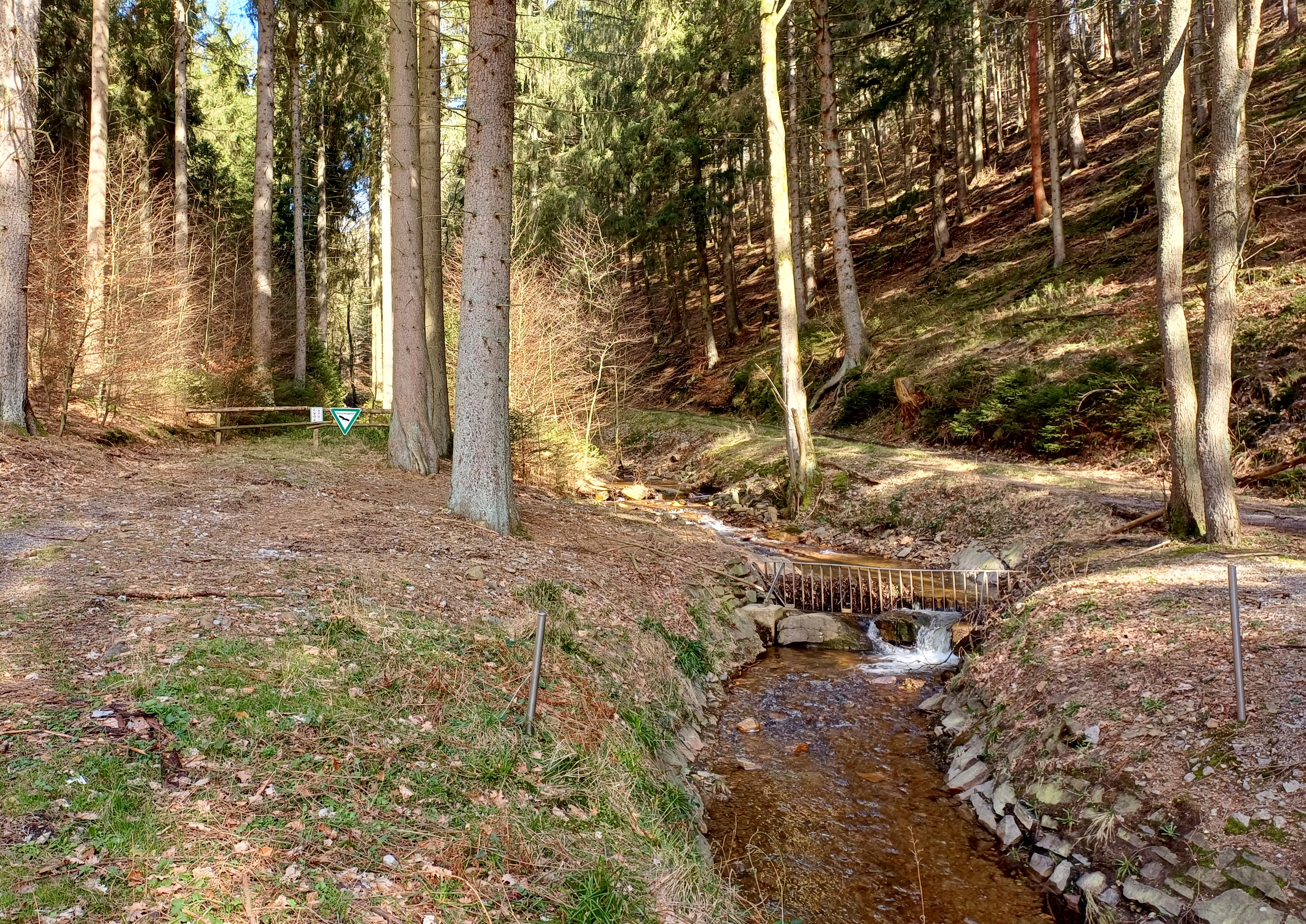
A small, narrow stream flowing over stones through a forest area with tall trees and leaf-covered ground in Kelzer- und Saarscher Bachtal.
The Saarscher Bach flowing through the forest landscape of Kelzer- und Saarscher Bachtal.

Kelzer- und Saarscher Bachtal history and protected-area timeline

The protected area was formally designated in 1999 under the framework of the landscape plan of Simmerath. The designation responded to the ecological value of the valley systems of the Kelzer Bach and the Saarscher Bach, which had retained significant stretches of near-natural brook habitat, floodplain woodland, and bog relict vegetation despite the surrounding land being heavily influenced by forestry and agriculture.

The reserve was established as part of regional efforts to reconnect fragmented near-natural flowing-water habitats across North Rhine-Westphalia. Alongside protection, the designation introduced management goals aimed at gradually replacing spruce forests in the valley with more natural deciduous stands and at maintaining the natural water regime that sustains the dynamic morphology of the stream channel. It also integrated the area into the Natura 2000 network, placing the local conservation of these brooks and adjacent habitats within a broader European framework.

Kelzer- und Saarscher Bachtal landscape and geographic character

The valley of the Kelzer Bach and the Saarscher Bach forms the central landscape feature of the reserve. In its upper reaches the brooks run through channelized sections bordered by alder and shrub willows, but moving downstream the valley becomes progressively steeper and more enclosed. Below a small wastewater treatment plant the Kelzer Bach enters a true gorge-like, or V-shaped, valley cut into the local bedrock.

The valley floor at its widest reaches about ten meters. Within this narrow floor the active streambed is only two to three meters across, and on either side rise rock faces up to about four meters tall. These walls are heavily structured, with abundant small cascades, gravel banks, and deep pools that give the stream a varied and dynamic character. The slopes above carry older deciduous forest stands with alder, pedunculate oak, and sycamore maple, while on the northern side of the valley open woodland clearings contain relict mire and wet heath vegetation. Scattered natural and artificial rock outcrops add structural diversity throughout the area, and to the north the landscape opens toward the waters of the Kalltalsperre.
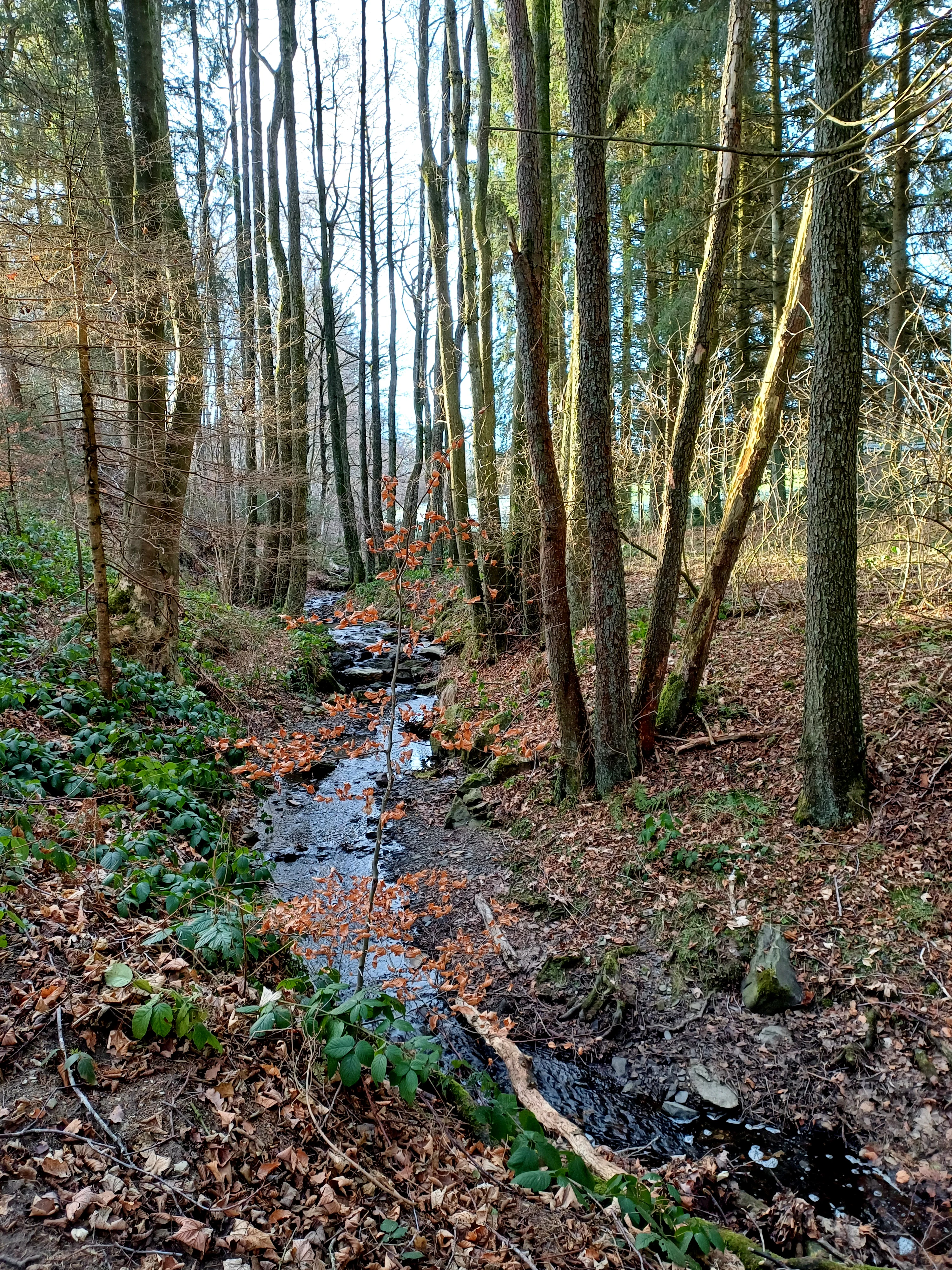
A small, narrow stream flowing through a dense forest with bare trees, fallen brown leaves, and green undergrowth along the banks.
The Kelzerbach stream flowing through a woodland setting in Kelzer- und Saarscher Bachtal.

Kelzer- und Saarscher Bachtal ecosystems, habitats, and plant life

The nature of the reserve is defined by the close interplay of aquatic, forest, and mire habitats within a compact valley system. The flowing-water habitats include near-natural, unobstructed brook sections, small natural springs, and the dynamic structural elements of cascades, gravel banks, and pools that support specialized aquatic and riparian communities.

The woodland component is dominated by near-natural deciduous forest. Along the streams grow alder-dominated gallery forest, with pedunculate oak and sycamore maple on the valley floor and lower slopes. These floodplain and slope forests represent important remnants of a forest type that has become scarce in the wider landscape. On the northern forest clearings, the vegetation shifts to wet vegetation complexes: pipe-grass heath with scattered cross-leaved heath, sphagnum moss surfaces, and a drained portion of raised bog in which characteristic bog species such as bog asphodel can still be found.

Scattered rocky habitats, both natural outcrops and artificially created exposures, contribute additional structure to the area. Together these components represent a typical concatenation of habitats along a small Eifel brook: flowing water, floodplain forest, slope forest, wet heath, bog relicts, and rocky biotopes, each supporting different but interdependent communities.
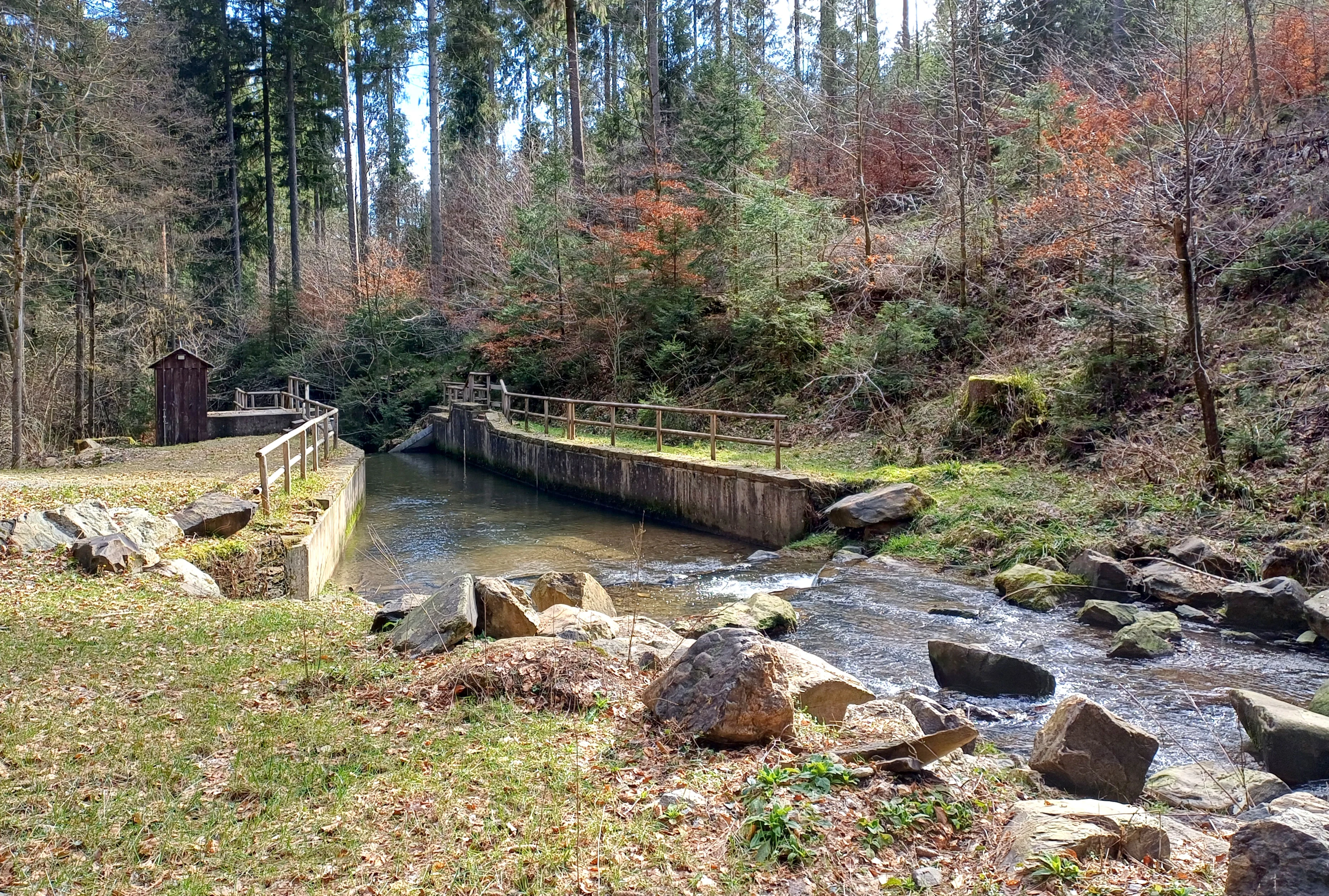
A small stream flows past a wooden sluice or embankment in a forested valley with autumn-colored trees and scattered rocks.
The Kelzerbach stream flowing through the woodland valley near Lammersdorf.

Kelzer- und Saarscher Bachtal wildlife and species highlights

The reserve's structural diversity along the brook corridor supports a range of wildlife typical of near-natural Eifel stream valleys. The undisturbed stretches of the Kelzer Bach, with their cascades, gravel banks, and pools, provide habitat for stream-dwelling invertebrates and fish adapted to cool, oxygen-rich, structured flowing water. The combination of rock walls and overhanging vegetation also offers shelter for riparian species along the narrow valley.

Wet habitats adjoining the stream, including alder-dominated gallery forest and relict bog surfaces, extend the available habitat spectrum. These wet and boggy zones are particularly relevant for invertebrate groups associated with mires and wet heaths, while the surrounding deciduous forest supports typical woodland bird, mammal, and insect communities. Although the Wikipedia source does not enumerate specific species, the reserve's protected status and its place within the Natura 2000 network indicate that its fauna is recognized as regionally significant.

Kelzer- und Saarscher Bachtal conservation status and protection priorities

Kelzer- und Saarscher Bachtal is classified as an IUCN Category IV protected area, a habitat and species management area, and forms part of the Natura 2000 network. Its primary conservation significance lies in the protection of a near-natural brook ecosystem within an otherwise heavily modified regional landscape. The streambed dynamics, including cascaded rock walls, gravel banks, and pools, depend on a stable and natural water regime, and the reserve's management aims explicitly at preserving this hydrology.

A second conservation priority is the preservation and slow restoration of natural floodplain and slope forest. Past forestry had favored spruce stands, and the reserve's management includes the gradual, careful conversion of these conifer forests into near-natural deciduous woodland. In addition, the area conserves small but regionally important relict habitats: fragments of raised bog with characteristic bog flora, wet heath communities, and complexes of natural and artificial rocky biotopes. Within the state-wide biotope network for near-natural flowing waters in North Rhine-Westphalia, the reserve represents an important local building block that connects forest, stream, and bog habitats in a single landscape unit.

Kelzer- und Saarscher Bachtal cultural meaning and human context

The reserve lies in a region shaped by long-standing human use of forest and water resources. The Eifel landscape around Simmerath has a tradition of forestry, small-scale agriculture, and water management, with the Kalltalsperre representing one of the major modern interventions in the local hydrology. The presence of a small wastewater treatment plant upstream of the gorge section, where the Kelzer Bach enters the protected valley, illustrates how human infrastructure and protected natural areas coexist in this part of the Eifel.

For visitors, the area also reflects a regional culture of quiet, low-impact nature recreation typical of the Eifel, focused on walking through forested valleys and appreciating small but carefully conserved natural details such as brook pools, rock walls, and bog relicts. The reserve is not framed around dramatic scenery, but around the careful preservation of a working landscape's ecological remnants.

Top sights and standout views in Kelzer- und Saarscher Bachtal

Kelzer- und Saarscher Bachtal stands out for the concentration of near-natural brook habitat within a short valley stretch, from channelized upper reaches to a deeply incised, rock-walled lower course rich in cascades and pools. Equally distinctive are the small but ecologically valuable relict habitats on the forest clearings, including raised-bog fragments, sphagnum surfaces, and wet heath with characteristic bog flora, set against a backdrop of gradually restored deciduous forest.

Best time to visit Kelzer- und Saarscher Bachtal

Most of the reserve's character can be appreciated in the warmer months, when the stream flow, vegetation along the brook, and the bog-relict flora on the northern clearings are most active and visible. Late spring through early autumn is generally favorable for observing both the forest structure and the wet habitat transitions in the valley. Visitors should keep in mind that the area is a protected nature reserve, so any visit should remain on existing trails and avoid disturbance to the sensitive stream and mire sections.

Monthly climate preview

Long-term representative point measurements for temperature and monthly precipitation

Kelzer- und Saarscher Bachtal Climate Normals and Annual Temperature Rhythm

Representative coordinates record measured monthly temperature swings from sub-zero winter minimums to warm summer maximums alongside steady precipitation. Examining the complete twelve-month climatology dataset reveals detailed seasonal shifts across the protected terrain.
Annual mean8 °C
0 °C17 °C
Jan
Feb
Mar
Apr
May11°
Jun15°
Jul17°
Aug17°
Sep13°
Oct
Nov
Dec
Warmest month
July

17 °C

Coolest month
January

-0 °C

Wettest month
December

3.1 mm/day

Driest month
April

1.9 mm/day

Park location guide

Geography guide, regional context, and park location map for Kelzer- und Saarscher Bachtal

Kelzer- und Saarscher Bachtal park geography, regions, and map view in Germany

Understand where Kelzer- und Saarscher Bachtal sits in Germany through a broader geographic reading of the surrounding landscape, nearby location context, and its mapped position within the national park landscape.

How Kelzer- und Saarscher Bachtal fits into Germany

Germany is a federal republic in Western and Central Europe with a population of over 83 million across sixteen constituent states. It is Europe's largest economy by nominal GDP and a major global exporter and importer. The capital is Berlin, and the country borders Denmark, Poland, Czech Republic, Austria, Switzerland, France, Luxembourg, Belgium, and the Netherlands.

Wider geography shaping Kelzer- und Saarscher Bachtal in Germany

Germany is located in Western and Central Europe, spanning 357,022 km². It borders Denmark to the north, Poland and the Czech Republic to the east, Austria and Switzerland to the south, and France, Luxembourg, Belgium, and the Netherlands to the west. The country has coastlines on the Baltic Sea and North Sea to the north, with the Alps located in the southern region.

Map view of Kelzer- und Saarscher Bachtal

Use this park location map to pinpoint Kelzer- und Saarscher Bachtal in Germany, understand its exact geographic position, and read its mapped placement within the surrounding landscape more clearly.

Pigeon | © OpenStreetMap contributors

Location context for Kelzer- und Saarscher Bachtal

Städteregion Aachen

Visualizing the stream valleys, rocky gorges, and rare floodplain habitats of the reserve

Kelzer- und Saarscher Bachtal Photos and Landscape Scenery Exploration

Visual records illustrate the rugged terrain and near-natural brook habitats defining Kelzer- und Saarscher Bachtal. Detailed imagery reveals the steep gorge walls, forest clearings, and wetland vegetation that distinguish the local protected landscape.

A small, narrow stream flowing over stones through a forest area with tall trees and leaf-covered ground in Kelzer- und Saarscher Bachtal.

A small, calm stream winds through a clearing in a forest, with many fallen trees and branches partially submerged in the water and scattered across the muddy bank.

A small, narrow stream flowing through a dense forest with bare trees, fallen brown leaves, and green undergrowth along the banks.

A small stream flows past a wooden sluice or embankment in a forested valley with autumn-colored trees and scattered rocks.

Park atlas

Compare adjacent valley reserves and regional protected habitats across the Eifel terrain

Other Parks Near Kelzer- und Saarscher Bachtal And Surrounding Protected Landscapes

Browsing other parks near Kelzer- und Saarscher Bachtal reveals connected stream valleys, forest reserves, and regional protected landscapes throughout the Eifel terrain. Comparing these adjacent natural areas provides a clearer understanding of local biotope networks and protected waterway corridors.
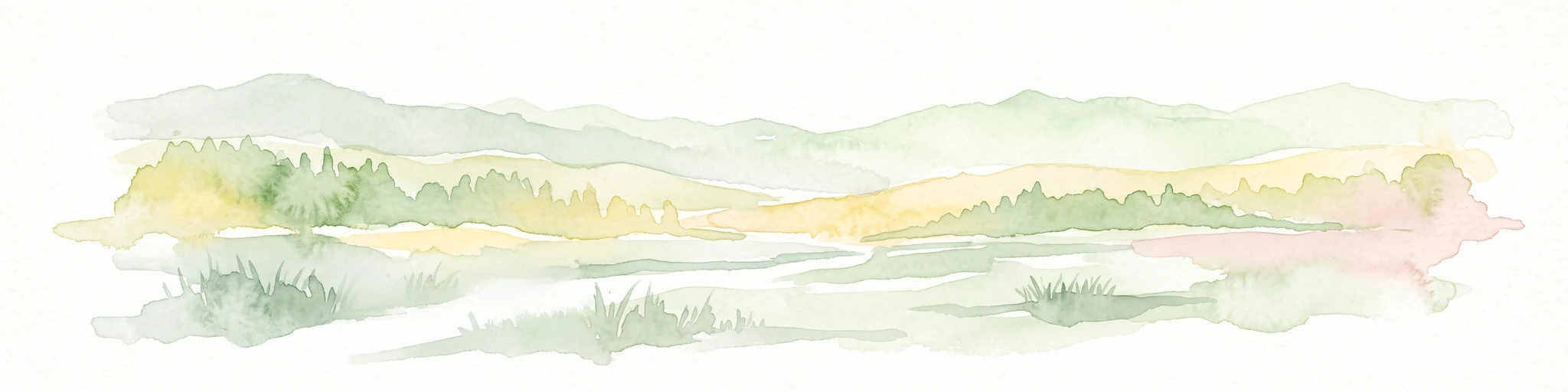
A watercolor painting of a river winding through a valley with mountains in the background and foreground trees.
Nature reserveNorth Rhine-Westphalia
About 1.7 km away#1 closest

East

Mittleres Kalltal Nature Reserve: Mapped Geography and Protected Landscapes in the Eifel

River valley ecosystems and mountain forest habitats

Mittleres Kalltal is a protected nature reserve in the Simmerath municipality of North Rhine Westphalia, Germany. This area preserves an intact stretch of the Kall river, featuring a diverse mosaic of gorge woodlands, alder floodplains, and mountain forest slopes that serve as vital habitats within the northern Eifel region.

Area
0.42 km²
Established
1999
IUCN
IV
Relief
Mountain
Nature reserveNorth Rhine-Westphalia
About 3.4 km away#2 closest

Southwest

Wollerscheider Venn: Mapping the Protected Peatland and Bog Terrain of North Rhine-Westphalia

A specialized wetland reserve on the Eifel border high plateau

Located in the municipality of Simmerath, Wollerscheider Venn preserves essential fragments of raised bog and swamp woodland within the larger Hohes Venn ecosystem. This reserve protects diverse habitats including juniper heath and Nardus grassland, serving as a critical refuge for bog-specialist butterflies and dragonflies in the Eifel region. Its mapped landscape offers a clear view into the conservation of rare peatland environments across western Germany.

Area
0.42 km²
Established
1961
IUCN
IV
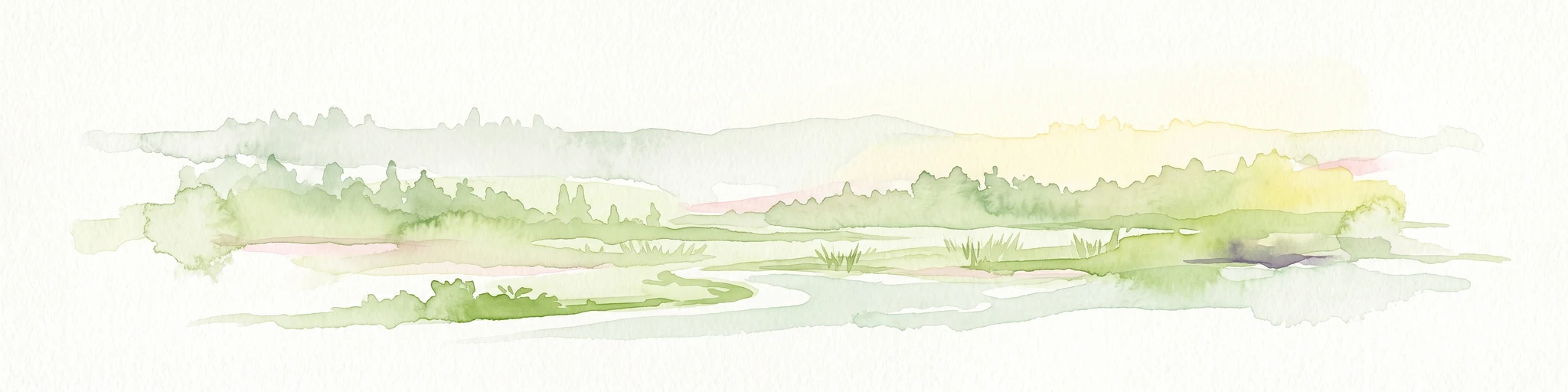
A soft, horizontal watercolor painting of rolling green hills under a faint, warm-toned sky, with no sharp outlines.
Nature reserveNorth Rhine-Westphalia
About 3.4 km away#3 closest

South

Lenzbach Nature Reserve: Protected Stream Valley and Habitat Connectivity in the Northern Eifel

Geographic atlas and ecological landscape context in North Rhine-Westphalia

Lenzbach Nature Reserve encompasses a near-natural headwater stream valley characterized by expansive wet grasslands and spring mires. As part of the Natura 2000 Kalltal und Nebentäler complex, the reserve serves as an essential ecological link within the cross-border landscape between Belgium and Germany, supporting diverse wetland flora and maintaining habitat connectivity for regional wildlife.

Area
0.11 km²
Established
1999
IUCN
IV
A watercolor painting depicting rolling, soft-toned green hills and a foreground of trees and riparian vegetation.
Nature reserveNorth Rhine-Westphalia
About 4.3 km away#4 closest

Northwest

Laubwald am Hasselbachgraben Nature Reserve in North Rhine-Westphalia

Protected Eifel forest and riparian stream landscape

Located in the Städteregion Aachen, Laubwald am Hasselbachgraben preserves a distinct mix of European beech, oak, and spruce. The reserve is anchored by the Hasselbach stream valley and the landmark Kreitzberg Naturwaldzelle, providing a critical study of near-natural woodland structure within the northern Eifel region.

Area
2.88 km²
Established
1999
IUCN
IV
Relief
Upland
A watercolor painting showing a soft, pastel-colored landscape with a wetland in the foreground and gentle, rolling hills in the background.
Nature reserveNordrhein-Westfalen
About 4.3 km away#5 closest

West

Hoscheider Venn mit Quellgebieten des Dreiläger- und Schleebaches Nature Reserve Atlas

Protected raised bog and glacial pingo terrain in North Rhine-Westphalia

Hoscheider Venn mit Quellgebieten des Dreiläger- und Schleebaches safeguards a representative upland moor environment on the western edge of the Eifel. The reserve includes diverse habitats ranging from nutrient poor bog pools to acidophilous forests, maintaining active restoration zones for regenerating wet heath and peatland ecosystems across its unique topographic mosaic.

Area
1.96 km²
Established
1982
IUCN
IV
Relief
Upland
Protected landscapeNordrhein-Westfalen
About 4.6 km away#6 closest

East

Buhlert: Protected Landscape and Woodland History in Nordrhein-Westfalen, Germany

Eifel forest terrain, military heritage, and ridge geography

Buhlert presents a unique study in regional geography, standing as a continuous forest ridge that anchors a piece of the mid-elevation Eifel. This protected area integrates environmental conservation with the preservation of significant wartime bunkers, bomb craters, and historical military paths that define the surrounding woodland and terrain.

Area
6.99 km²
Established
2004
IUCN
V
Relief
Mountain
A soft watercolor illustration showing a hazy, green landscape with a winding stream, distant hills, and low-lying vegetation on a white background.
Nature reserveNordrhein-Westfalen
About 5.1 km away#7 closest

South

Kranzbach und Kranzbruchvenn: Protected Nature Reserve and Bog Landscape in Nordrhein-Westfalen

Wetland stream valleys and historic military relic landscapes

Investigate the specialized wetland ecosystems of Kranzbach und Kranzbruchvenn, a nature reserve in Nordrhein-Westfalen known for its bog and fen habitats. The site offers a detailed case study of small-stream hydrology and the transformation of former Westwall dragon teeth structures into unique marsh environments.

Area
0.328 km²
Established
2002
IUCN
IV
Watercolor painting of a soft, hazy landscape featuring rolling hills and marshy wetlands in muted green and yellow tones.
Nature reserveNorth Rhine-Westphalia
About 5.5 km away#8 closest

Southwest

Kalltal Nature Reserve: Protected Stream Valley and Eifel Landscape in North Rhine-Westphalia

Ecological corridor with rare bog habitats and wet meadows.

Kalltal protects a stretch of the Kall stream, creating a haven for moisture-dependent plant species and wildlife within the Monschau municipality. Its terrain is defined by soft wet grasslands, peat-rich depressions, and small forest patches that form an intact ecological refuge within the broader German landscape.

Area
0.545 km²
Established
1998
IUCN
IV

Common questions about visiting, size, designation, and location context for Kelzer- und Saarscher Bachtal

Kelzer- und Saarscher Bachtal FAQs for park facts, access, geography, and protected area context

Find quick answers about Kelzer- und Saarscher Bachtal, including protected-area facts, park geography, trail and visitor context, and how the park fits into its surrounding country and regional landscape.
MoriAtlas Explorer

Continue Your Protected Areas Search Across the Global Atlas

Deepen your exploration by continuing the structured search for national parks and protected areas worldwide. Utilize the comprehensive filtering capabilities to compare different conservation landscapes and refine your understanding of global park geography. Discover more about the distribution and characteristics of protected natural areas.

Global natural geography