
Analyzing the sandstone terrain, ria valleys, and coastal geography of this historic protected landscape
Catalog of Geological Formations and Natural Landmarks in Ku-ring-gai Chase National Park
Explore the structured inventory of named natural features distributed across the Hawkesbury Sandstone landscape of Ku-ring-gai Chase National Park. This collection maps the diverse physical characteristics of the region, from the steep eroded ria valleys and submerged river inlets of Pittwater and Cowan Creek to the complex volcanic intrusions and tessellated pavement formations found throughout the Hornsby Plateau.
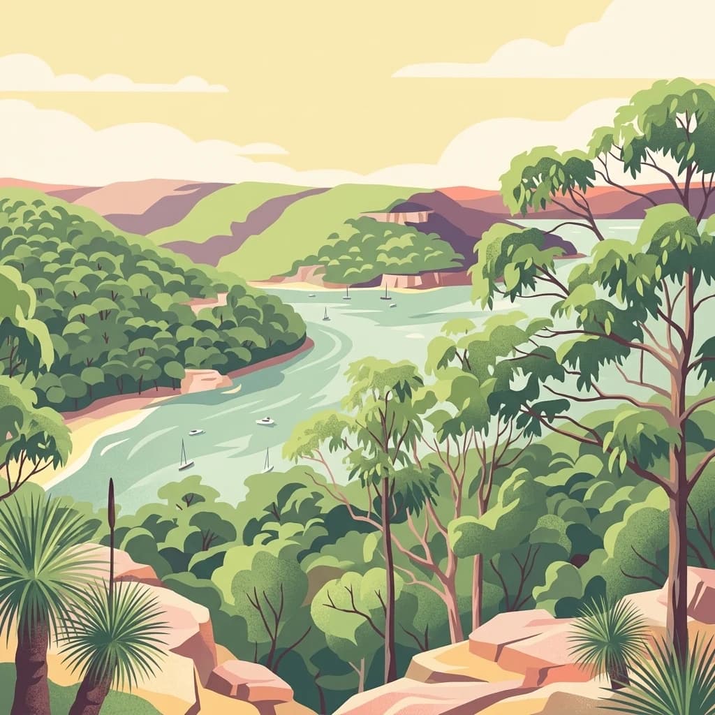
Charting the steep flooded valleys, sandstone plateaus, and coastal inlets of the Sydney region
Mapped Natural Features and Sandstone Landforms of Ku-ring-gai Chase National Park
Mapped hydrological features and landscape drainage patterns.
Rivers
Examine the network of rivers and natural watercourses connected to Ku-ring-gai Chase National Park. This geographic overview highlights the spatial relationship between these water features and the rugged sandstone terrain of the Hornsby Plateau.
Coastal structure and sandstone landscape atlas
Capes
Investigate the significant capes that shape the coastal margins of Ku-ring-gai Chase National Park. These geological features extend into the surrounding waterways, providing context for the ria valley landscape and the broader sandstone terrain typical of the New South Wales coastline.
Ku-ring-gai Chase National Park
Explore the map, landscapes, and protection details for Ku-ring-gai Chase National Park.