
Mori Atlas logo
Park guides

Focused insights into seasonal planning and wilderness navigation for this Alaskan protected area.

Lake Clark National Park and Preserve: Comprehensive Collection of Published Geographic Guides

Access the full selection of available guides for Lake Clark National Park and Preserve, spanning critical geographic and seasonal themes. These resources offer detailed context for navigating the rugged terrain, active volcanic zones, and expansive wilderness regions of this southwest Alaska protected landscape.

Related tags

Volcanic LandscapeSalmon HabitatBrown Bear ViewingWilderness AreaCoastal Ecosystem

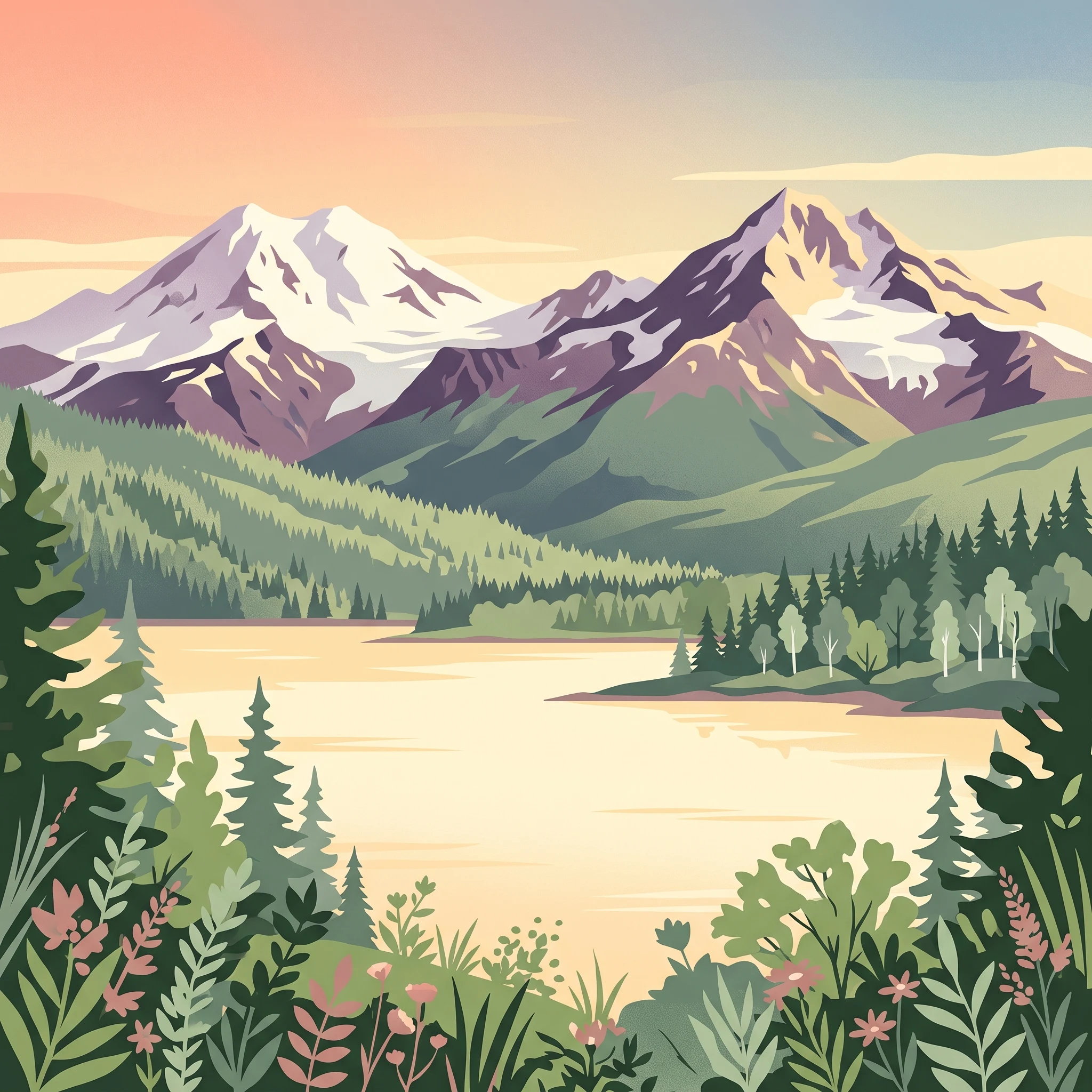
A remote Alaskan wilderness where volcanic peaks meet salmon-rich rivers and brown bears roam coastal salt marshes

Lake Clark National Park and Preserve

Lake Clark National Park and Preserve represents one of Alaska's most diverse and ecologically significant protected areas, spanning a remarkable gradient from volcanic mountain peaks to coastal tidal flats. The park sits at the northern end of the Aleutian Range, where the Chigmit Mountains form a critical junction between the Alaska Range and the Aleutian Range. These granite mountains were uplifted through the collision of the Pacific Plate and North American Plate, and two major stratovolcanoes, Mount Redoubt and Mount Iliamna, rise dramatically from this foundation. Glacial processes have profoundly shaped the landscape, carving cirques and U-shaped valleys that now hold numerous glacial lakes, including the namesake Lake Clark. The park's western boundary encompasses boreal forest dominated by white and black spruce, while higher elevations and northern areas give way to alpine tundra supporting caribou and ptarmigan. The coastal ecosystems along Cook Inlet, though comprising less than one percent of the park's area, represent some of the most productive bear habitat in North America, with salt marshes providing crucial early summer foraging grounds for brown bears.

Location
United States of America
Park type
National park
Established
1980
Area
16,308.9 km²
Highest point
3,108 m
Lake Clark National Park and Preserve Atlas
MoriAtlas Explorer

Continue Your Atlas Exploration of Lake Clark National Park and Preserve's Geography

Extend your understanding of Lake Clark National Park and Preserve by exploring its detailed geographic context and protected landscape features. This destination offers a crucial focal point for grasping the regional distribution of protected areas and their mapped boundaries within Alaska. Continue to build your atlas of natural landscapes with insights specific to this significant national park.