Why Lauterniederung stands out
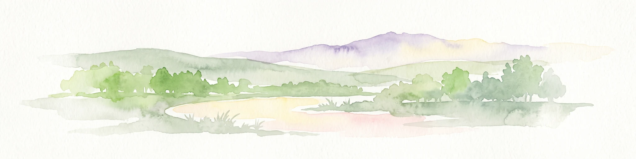
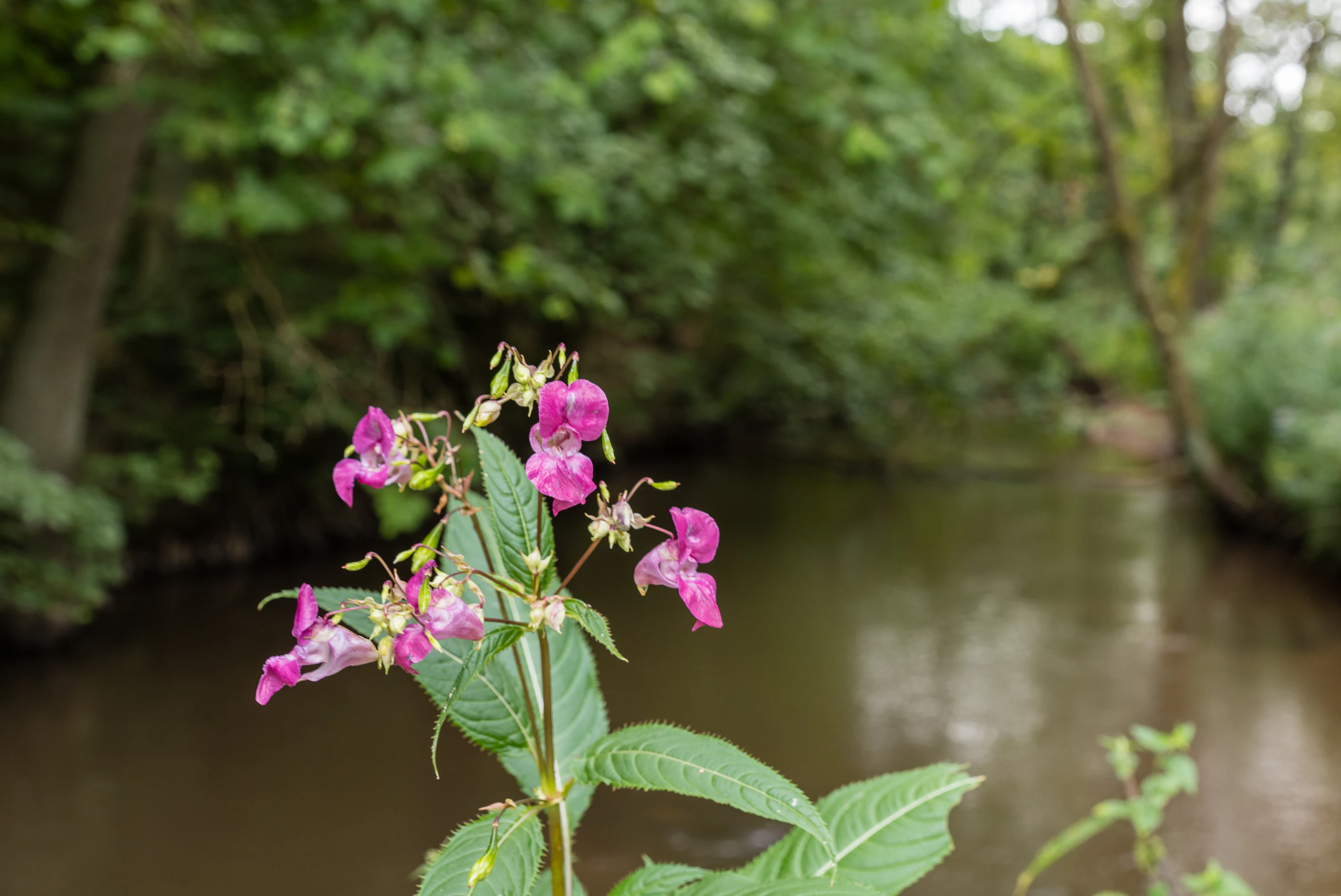
Lauterniederung is best known for preserving one of the last near-natural sections of the Lauter river floodplain on the Upper Rhine Plain, including its still largely untouched channel and a diversity of associated wetland habitats. The reserve is particularly valued for its alder swamp forests, reed and sedge beds, successional areas on former litter meadows, and a bog; these habitats sustain rare plant communities and wetland-dependent species in an otherwise intensively used agricultural landscape. It is also notable as a representative example of the original Auenlandschaft, the floodplain landscape, of the Lauter valley, contrasting with the straightened and regulated stretches of the river found elsewhere in the region. The combination of a meandering, near-natural watercourse with adjacent wetland vegetation makes the reserve a focal point for floodplain conservation in the southern Palatinate.
Lauterniederung history and protected-area timeline
The Lauterniederung area was placed under formal nature protection in 1982, when the relevant authorities of Rhineland-Palatinate designated it as a Naturschutzgebiet under the identifier NSG-7300-042. The designation recognized that, despite widespread drainage, straightening, and agricultural conversion elsewhere in the Upper Rhine Plain, this stretch of the Lauter valley still retained a near-natural channel and a connected mosaic of floodplain habitats.
Since its establishment, the reserve has been managed under Rhineland-Palatinate's nature conservation framework, with periodic documentation including a protected-area album from 2012 and an updated survey round in 2016. It has also been entered into the international World Database on Protected Areas under WDPA-ID 82079, giving it recognition beyond regional and national administrative levels. The narrative of the area is thus one of formal recognition and ongoing management of a floodplain landscape that, by the time of protection in the early 1980s, had already become an exceptional remnant within its region.
Lauterniederung landscape and geographic character
The landscape of Lauterniederung is defined by the valley of the Lauter river as it crosses the Upper Rhine Plain. Within the protected area, the river continues along a relatively natural course, with a still-intact bed and a series of bends and small channels that contrast with the heavily modified waterways typical of the broader plain. The valley floor is flat and low-lying, shaped by the long-term interplay between the river and the high water table of the Rhine lowlands.
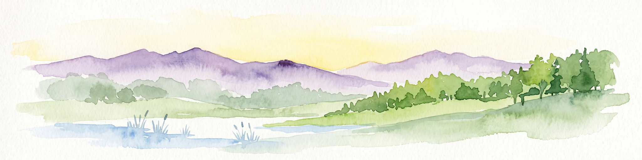
Surrounding the watercourse is a layered wetland landscape. Closest to the river are reed and sedge beds (Röhricht) standing in and beside the water, giving way to regularly flooded alder swamp forests (Erlenbruchwälder) on the wetter soils. Further from the active channel lie former litter meadows, parts of which are now successional areas where natural vegetation is reclaiming the land, creating transitional habitats of tall herbs, shrubs, and young woodland. Somewhere in this mosaic is a bog (Moor), representing the wettest, most peat-forming end of the gradient and adding a distinctive element to the otherwise flowing-water dominated system.
Together these features form a continuous, narrow strip of floodplain that runs for several kilometers through an otherwise intensively used agricultural region. The contrast between the natural valley landscape inside the reserve and the cultivated fields, vineyards, and settlements outside it is one of the area's most visible landscape characteristics, and it underscores the reserve's role as a remaining fragment of the original Auenlandschaft of the Lauter.
Lauterniederung ecosystems, habitats, and plant life
Ecologically, Lauterniederung belongs to the Auenlandschaften, the floodplain landscapes, that once characterized much of the Upper Rhine Plain. Its habitats are organized along the gradient between moving water, standing water, very wet soils, and seasonally flooded ground, producing an unusually high habitat density for a relatively small protected area. The combination of flowing river, swamp forest, reed and sedge beds, successional meadows, and peatland creates overlapping ecological niches within a compact geographic space.
The reserve is particularly important for wetland-dependent vegetation. Alder swamp forest thrives where the water table is high and flooding is regular; reed and sedge communities line the river and its margins; and the bog harbours specialist plant species such as cottongrass. The successional areas on former litter meadows add an open, dynamic character to the system, supporting plant communities that benefit from the absence of regular mowing and from natural regeneration.
This habitat mosaic supports a correspondingly diverse fauna. Wetland invertebrates such as dragonflies and specialized butterflies find the combination of open water, emergent vegetation, and moist meadows especially favorable. Amphibians, including the great crested newt, use the slow-flowing and standing water sections for breeding. Birdlife reflects the structure of the valley: kingfishers hunt along the open water, while shrikes and other species of conservation interest use the more open successional and scrubby areas. The result is a floodplain ecosystem that still functions as an integrated whole rather than as isolated habitat patches.
Lauterniederung wildlife and species highlights
The wildlife of Lauterniederung is closely tied to its floodplain character. Among invertebrates, the reserve is documented as a habitat for the yellow-spotted emerald dragonfly (Somatochlora flavomaculata), the large copper butterfly (Lycaena dispar), a butterfly associated with damp meadows and considered a species of conservation concern, and the Jersey tiger moth (Euplagia quadripunctaria). These species reflect the importance of the area for wetland and transitional habitat invertebrates.
In the water and along the banks, amphibians are particularly significant. The great crested newt (Triturus cristatus), a species of strict conservation importance across much of Europe, is recorded in the reserve and depends on the slow-flowing parts of the Lauter and on standing-water elements of the floodplain for breeding. The presence of such an amphibian indicator underscores the wetland quality of the protected area.
Birdlife benefits from the structural diversity of the valley. The common kingfisher (Alcedo atthis) uses the natural river sections for fishing, while the red-backed shrike (Lanius collurio) uses the more open successional and scrubby zones. The combination of waterbirds and birds of open, bushy floodplain habitats gives Lauterniederung a bird community characteristic of near-natural lowland river valleys in central Europe.
Lauterniederung conservation status and protection priorities
Lauterniederung holds clear conservation value as one of the few remaining near-natural stretches of the Lauter river within the Upper Rhine Plain, an area that has otherwise been largely altered by drainage, channel straightening, agricultural intensification, and settlement expansion. By protecting not only the river itself but also the surrounding wetlands, the reserve safeguards an entire functional floodplain system rather than a single habitat type.
The reserve is formally classified under IUCN Category IV, which designates it as a habitat and species management area. Its conservation objectives explicitly include the preservation of the Lauter valley with its near-natural watercourse, its alder swamp forests, reed and sedge beds, successional areas on former litter meadows, and bog; the protection of rare plant species and plant communities; and the maintenance of habitat for rare animal species, alongside scientific interest in the site.
Within the broader regional context, Lauterniederung contributes to the network of nature reserves that aim to retain fragments of the original Rhine floodplain landscape in the southern Palatinate. Its inclusion in the international World Database on Protected Areas under WDPA-ID 82079 highlights its standing beyond purely local interest. The reserve thus serves as a refuge for floodplain species, a reference site for the original Auenlandschaft of the Lauter, and a building block in regional and international efforts to conserve wetland biodiversity in intensively used lowlands.
Lauterniederung cultural meaning and human context
Lauterniederung lies in a landscape shaped by long-standing human interaction with the Lauter valley. The valley floor lies between the traditional agricultural villages of Schweighofen to the northwest and Scheibenhardt to the southeast, communities that historically drew on the wet meadows, river, and ground-water resources of the valley. Former litter meadows within the reserve reflect older land-use practices in which reed and grass cuttings were harvested for bedding and stable use, and abandoned or changed uses of these meadows now drive the successional habitats seen today.
The reserve also sits at the cultural-geographic transition between the forested German Palatinate, with its vineyards and Palatinate Forest, and the open agricultural landscapes of the Rhine plain. This position gives the Lauterniederung a recognized regional identity as one of the preserved natural slices of an otherwise heavily worked cultural landscape, valued both for its ecology and as part of the regional sense of place in the southern Palatinate.
Top sights and standout views in Lauterniederung
A near-natural section of the Lauter river on the Upper Rhine Plain, with a still-intact channel in an otherwise heavily modified regional water system.
A compact mosaic of floodplain habitats, including alder swamp forest, reed and sedge beds, successional areas on former litter meadows, and a bog, all within a single protected corridor.
A refuge for wetland-dependent species in an intensively used agricultural region, with documented occurrences of rare plants, dragonflies, butterflies, the great crested newt, kingfisher, and red-backed shrike.
A formally protected area under Rhineland-Palatinate nature conservation law and recognized internationally in the World Database on Protected Areas, contributing to the regional network of floodplain reserves in the southern Palatinate.
Best time to visit Lauterniederung
Because Lauterniederung is a landscape-based wetland reserve rather than an attraction with seasonal opening schedules, its character shifts gradually with the seasons. Late spring and early summer tend to bring out the full vegetation, with reed beds, meadows, and alder swamp forest in active growth and with dragonflies and butterflies becoming more active along the watercourse. Summer is also when wetland plants such as orchids and marsh specialists are most visible.
Spring and early summer are generally the most rewarding periods for observing wetland wildlife in active breeding or feeding behavior, when migratory and resident bird species, amphibians, and flying insects are most conspicuous. Autumn brings its own character, with mature seed heads in the reed beds, lower water levels, and different bird activity along the river. Winter visits can also be worthwhile for the quiet landscape, bare deciduous trees exposing the structure of the swamp forest, and overwintering waterbirds using the river, though the experience is far more subdued than in the warmer months.