Mori Atlas logo
Park earthquake history

Review documented seismic event data, magnitudes, and epicentre distances for this protected landscape

Historical Catalogue of Recorded Earthquakes Near Marble Canyon Provincial Park, British Columbia

This collection presents a catalogue of historical earthquakes with epicentres situated in proximity to Marble Canyon Provincial Park. Each entry includes data on event timing, magnitude, and depth to provide a clear view of recorded regional seismic activity. Users can browse these records to understand the documented history of ground movement in this area of the Marble Range, ensuring a transparent look at available geological data.

Related tags

limestone canyonMarble Rangemountain lakesPavilion Lakemicrobialites

A limestone canyon, mountain lakes, and ancient microbialites in British Columbia's interior.

Marble Canyon Provincial Park

Marble Canyon Provincial Park is a protected area in the southern interior of British Columbia, Canada, situated near the town of Lillooet along Highway 99. The park was established in 1956 primarily to safeguard Marble Canyon, a striking limestone gorge at the southern end of the Marble Range. Over time, the protected area grew significantly as additional landscape features of scientific and ecological importance were added. What makes the park distinctive is the combination of a dramatic river-cut limestone canyon, three mountain lakes, and the unusual presence of microbialites in Pavilion Lake. The microbialites, a living analogue to ancient stromatolites, have drawn scientific attention because of their relevance to astrobiology and the study of early life on Earth. The park is also part of the traditional territory of the Tskway'laxw and Chimney Rock holds continuing spiritual significance. Beyond its geological and scientific character, Marble Canyon Provincial Park is a compact recreational destination. Its walls attract rock climbers, a frozen waterfall draws ice climbers in winter, and the lakes support recreational fishing. The park functions as both a natural heritage site and an accessible outdoor recreation area in one of British Columbia's most scenically varied corridors.

Location
Canada
Park type
State or regional park
Established
1956
Area
25.4 km²
Explore Marble Canyon Provincial Park Geography

Navigate Marble Canyon Provincial Park events and distances

Examine the earthquake record near Marble Canyon Provincial Park

Marble Canyon Provincial Park’s earthquake collection connects reports to its limestone canyon, mountain lakes, and Marble Range setting through epicentre geography and calculated park distance. Dates, magnitudes, depths, reported localities, separation values, and source documentation support regional historical study without attributing events or effects to the canyon, lakes, microbialites, or current conditions.

Sort by
Magnitude
Location

This page describes catalogued earthquakes associated with the park by epicentre location and distance. It does not establish causation, assess current danger, or predict future earthquakes.

No earthquake records match the current filters

Park atlas

Leave British Columbia's limestone gorge and mountain lakes behind

Other protected landscapes beyond Marble Canyon Provincial Park

Marble Canyon Provincial Park connects earthquake observations with a distinctive interior landscape of limestone walls, lakes, and ancient microbialites. Other destinations follow for discovery, not as geological matches, and imply no shared provincial status, canyon form, seismic history, proximity, risk, or source detail.
State or regional parkBritish Columbia
11 km away#1 closest

Northwest

Edge Hills Provincial Park: Mapping the Fraser Canyon and Interior British Columbia Geography

A remote protected fore-range between canyon and mountain

Edge Hills Provincial Park offers a study in interior British Columbia topography, where dramatic vertical relief from the Fraser River canyon meets high-elevation rolling hills. This undeveloped preserve highlights the transition between coniferous forests and dry grasslands, providing a distinct geographic perspective for those interested in Canadian protected landscapes and rugged mountain terrain.

Area
118.82 km²
Established
1995
IUCN
II
Relief
Mountain
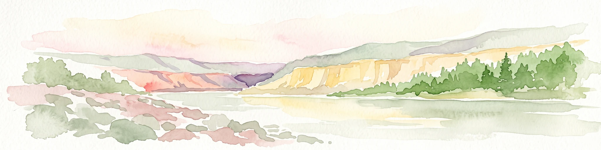
A watercolor illustration showing a river winding through a valley with soft colored hills, a sandy bank in the foreground, and sparse trees along the shore.
State or regional parkBritish Columbia
40 km away#2 closest

East

Juniper Beach Provincial Park: Geography and Protected Landscapes in British Columbia

Arid sagebrush steppe along the Thompson River corridor

Juniper Beach Provincial Park preserves a specialized pocket of desert ecology within British Columbia. Spanning 260 hectares, the area features a flat riverfront beach, steep bluffs, and open sagebrush slopes. This protected landscape offers a study in interior plateau geography, bridging the gap between riparian river systems and the dry, sun-exposed terrain of the Thompson Country.

Area
2.6 km²
Established
1989
IUCN
II
Relief
Lowland
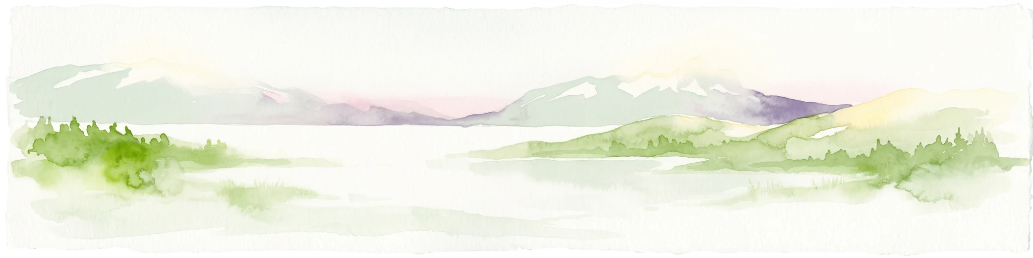
A watercolor illustration of a mountain range behind a calm lake with evergreen trees and grassy banks.
State or regional parkBritish Columbia
About 77 km away#3 closest

Southwest

Joffre Lakes Provincial Park: Geographic Atlas of Southwestern British Columbia Mountains

Glacial valleys and alpine wilderness protected areas

Joffre Lakes Provincial Park serves as a benchmark for alpine geography in British Columbia, showcasing a compact amphitheater of polished bedrock, moraines, and intense turquoise lakes. This protected area offers a focused look at the intersection of glacial hydrography and high-mountain terrain within the Coast Mountains, illustrating how meltwater and high-altitude peaks define this regional ecosystem.

Area
14.87 km²
Established
1996
Relief
Mountain
Climate
Alpine
State or regional parkBritish Columbia
About 82 km away#4 closest

East

Porcupine Meadows Provincial Park: Protected Interior Landscapes and Plateau Geography

High-elevation sub-alpine meadows on the Bonaparte Plateau

Porcupine Meadows Provincial Park serves as a critical protected area within the interior of British Columbia. The terrain is characterized by expansive sub-alpine meadows, boggy wetland complexes, and mature old growth forest stands. This remote high-elevation environment offers a unique look at the plateau geography situated west of the North Thompson River, highlighting the transition between alpine habitats and forest interior.

Area
27.04 km²
Established
1996
IUCN
II
Relief
Upland
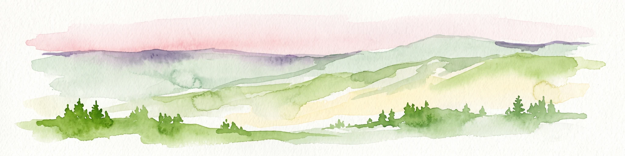
A panoramic watercolor illustration depicting rolling green and lavender hills with dark green conifer tree silhouettes in the foreground under a pale pink sky
Protected landscapeBritish Columbia
About 85 km away#5 closest

Northwest

Churn Creek Protected Area: Geography and Mapped Landscapes of the Chilcotin Plateau

Dryland canyon systems and open grassland ecosystems in British Columbia

Spanning over 36,000 hectares, Churn Creek Protected Area preserves an unusual interior dryland environment defined by bluebunch wheatgrass steppe and sagebrush communities. The area sits where the Chilcotin Plateau meets the Fraser River, creating a mosaic of benches, hoodoos, and deep drainages that transition into the Camelsfoot Range.

Area
367.47 km²
Established
1995
IUCN
VI
Relief
Mixed relief
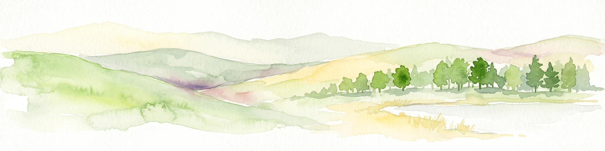
A horizontal watercolor illustration depicting gentle green hills, a small grove of trees, and a pale ground plane against a white background.
Protected areaBritish Columbia
About 86 km away#6 closest

East

Lac du Bois Grasslands Protected Area: Mapped Geography and Interior Plateau Landscapes

Exploring dryland ecosystems and native prairies in British Columbia.

Located in the Thompson-Nicola Regional District, this protected area spans over fifteen thousand hectares of rolling hills and elevated rocky benches. It remains a flagship example of interior plateau conservation, preserving a unique ecological gradient that stretches from arid sagebrush-covered terrain up into denser montane coniferous forest communities.

Area
157.12 km²
Established
1996
IUCN
II
Relief
Upland
A horizontal watercolor painting depicting a light, airy landscape with distant snow-capped mountains, rolling green hills, and coniferous forest edges.
State or regional parkBritish Columbia
90 km away#7 closest

Southwest

Garibaldi Provincial Park: An Atlas of Volcanic and Glacial Terrain in British Columbia

Protected wilderness in the Garibaldi Volcanic Belt

Garibaldi Provincial Park preserves a massive expanse of mountainous wilderness, defined by iconic landmarks such as The Black Tusk and Garibaldi Lake. The park represents a crucial study in vertical zonation, transitioning from temperate coastal forests to vast alpine meadows, glaciers, and jagged volcanic summits. Analyze the geological history and mapped protected boundaries that shape this significant British Columbia conservation area.

Area
1,950 km²
Established
1920
IUCN
II
Visitors
136K annual
A watercolor painting showing a soft landscape with rolling hills, a winding stream or lake, and grassy vegetation.
State or regional parkBritish Columbia
About 128 km away#8 closest

Southeast

Kentucky Alleyne Provincial Park: Glacial Landscapes and Interior Protected Areas

Mapping kettle lake geography in the British Columbia interior

Kentucky Alleyne Provincial Park preserves a compact, richly varied landscape of kettle lakes, eskers, and dry interior forest. Located in the Nicola region of British Columbia, this protected area offers a clear look at glacial landforms and sun-warmed Ponderosa pine woodlands, standing as a distinct geographic landmark within the Canadian interior range country.

Area
1.9 km²
Established
1981
IUCN
II
Relief
Upland
MoriAtlas Explorer

Continue Exploring the Protected Landscapes of Marble Canyon Provincial Park

View the mapped boundaries and natural terrain of Marble Canyon Provincial Park in British Columbia. Through the MoriAtlas database, investigate the geological and scientific significance of this limestone gorge and its mountain lake systems in the southern interior.