
Why Mooloolah River National Park stands out
Mooloolah River National Park is best known for its extensive coastal heathland and wet heath swamp ecosystems, which represent what remains of once-widespread heathland across South East Queensland. The park protects critical habitat for threatened acid frog species that inhabit the acidic waters of coastal wetlands, including the wallum froglet, wallum sedge frog, and wallum rocketfrog. It also provides refuge for the endangered Richmond Birdwing butterfly, whose exclusive host plant grows within the park boundaries. The Jowarra section in the northwest contains a remnant coastal rainforest fragment disconnected from the main park area.
Mooloolah River National Park history and protected-area timeline
Mooloolah River National Park was officially designated as a national park in 1960, having previously existed as vacant crown land. The original park designation covered the core area of what is now the protected landscape. A significant addition was made with the northern component of the park, covering 161.93 hectares, which was added after the initial establishment. The park is managed under the framework of Queensland's protected area management system, specifically the Nature Conservation Act 1992, with oversight from the Queensland Parks and Wildlife Service. Individual management plans guide conservation efforts, with the Mooloolah River National Park Management Plan providing strategic direction for the park's values and threatening processes.
Mooloolah River National Park landscape and geographic character
The park occupies low-lying coastal floodplain terrain characteristic of the South East Queensland coastline. The landscape is dominated by extensive wet heath swamps covering nearly half the park's area, interspersed with tree swamps containing Melaleuca and Eucalyptus species. The terrain is flat to gently undulating, typical of coastal lowland systems. The park is bisected by the Sunshine Motorway, a major regional road that divides the original park area from the northern addition. The Jowarra section in the northwest corner contains a distinctive remnant coastal rainforest patch, isolated from the main park body and accessible only by water via the Mooloolah River. The park's eastern boundary follows the Mooloolah River, while surrounding lands support a mix of grazing, urban development, and the University of the Sunshine Coast campus.
Mooloolah River National Park ecosystems, habitats, and plant life
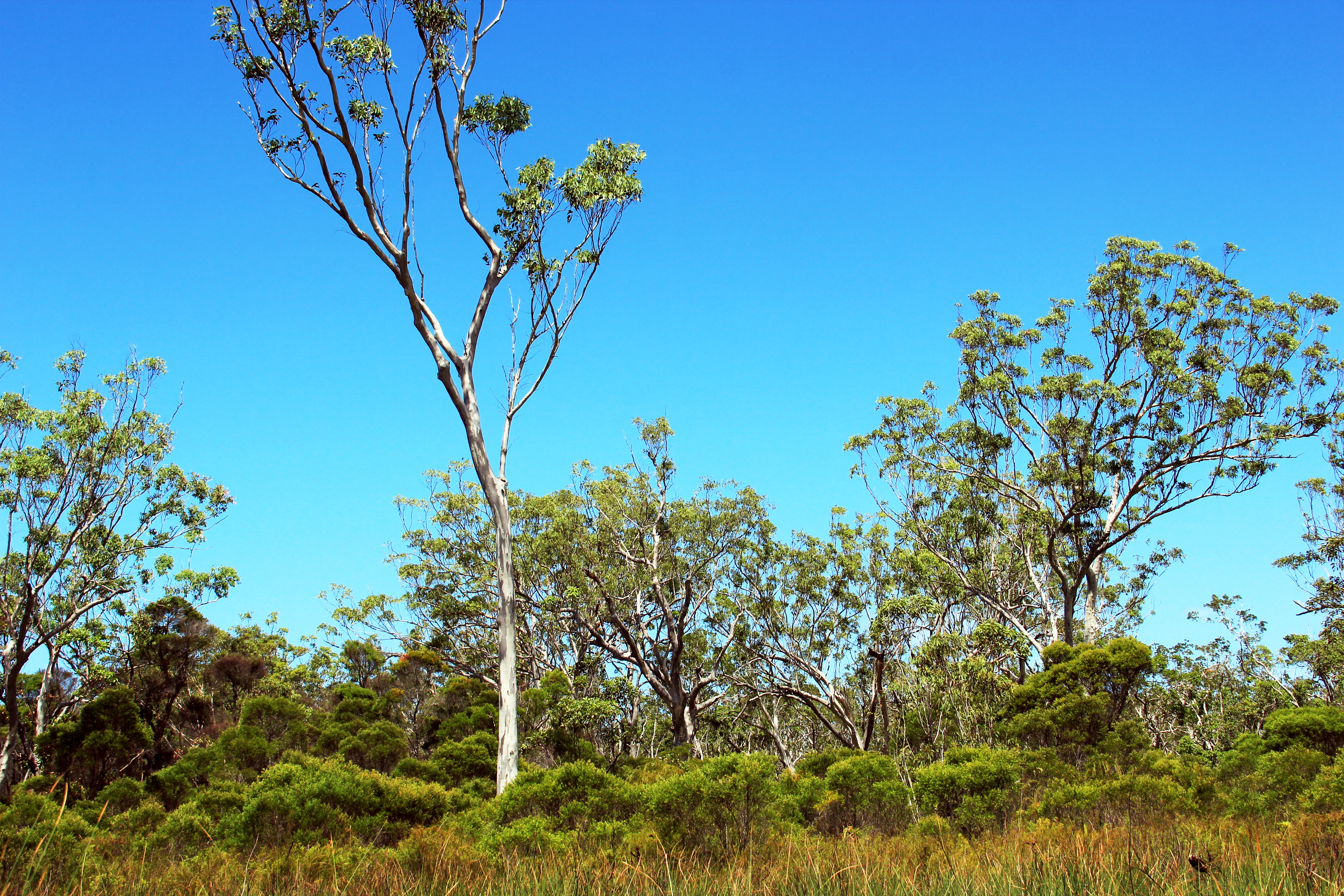
The ecological diversity of Mooloolah River National Park stems from its range of ecosystem types and the transitional zones between them, creating important ecotones that support high species richness. Nearly half the park consists of coastal and sub-coastal floodplain wet heath swamp, while approximately one third contains coastal and sub-coastal floodplain tree swamp with Melaleuca and Eucalyptus species. Seven of the ten vegetative communities present in the park are classified as regionally significant under Queensland's Vegetation Management Regulation 2012. The forest red gum woodland and blackbutt-tallowwood forest are listed as endangered regional ecosystems, while five other communities are listed as of concern. The park represents an important remnant of coastal heathland that was once common across South East Queensland before extensive land clearing for agriculture and urban development.
Mooloolah River National Park wildlife and species highlights
The park supports remarkable biodiversity across multiple animal groups. Nineteen mammal species have been recorded, including eastern grey kangaroos, swamp wallabies, short-beaked echidnas, various bat species, brush and ringtail possums, and flying foxes. Koalas have been recorded in the area, though a viable population within the park is uncertain. Ten amphibian species occur in the park, including several threatened acid frog species adapted to the acidic waters of coastal heathland wetlands. The wallum froglet, wallum sedge frog, and wallum rocketfrog are listed as vulnerable under Queensland and federal legislation. Up to 136 bird species have been recorded, including the vulnerable ground parrot dependent on heathland habitats, eastern grass owls, sea eagles, and wedge-tailed eagles. Nine reptile species and five butterfly species are present, with the vulnerable Richmond Birdwing butterfly relying on its host vine that grows within the park.
Mooloolah River National Park conservation status and protection priorities
The park faces significant conservation challenges in the context of rapid urban growth on the Sunshine Coast. Urban development encroaches on native bushland, reducing buffer zones and isolating the park from surrounding natural areas. The coastal heathlands that once covered extensive areas of South East Queensland have been largely cleared for primary production, sand mining, and residential development, making remaining fragments like this park increasingly critical for species survival. Multiple threatened species require active management, including prescribed burning regimes that balance ecosystem needs with fire risk to nearby properties. The park's management plan addresses fire scheduling, weed control, and invasive species management, with a target of burning no more than 30% of the park in any single year within an 8-12 year fire interval. Species such as the Mt Emu Sheoak, swamp stringybark, and Richmond Birdwing butterfly have specific recovery plans addressing their habitat requirements, fire regimes, and population monitoring needs.
Mooloolah River National Park cultural meaning and human context
The park exists within the traditional lands of the Gubbi Gubbi people, who are the Aboriginal custodians of the Sunshine Coast region. The surrounding landscape has been shaped by both traditional Indigenous land management practices and more recent European settlement patterns involving grazing, agriculture, and urban development. The park provides a reference area for understanding the pre-colonial ecological character of South East Queensland's coastal lowlands, though detailed cultural heritage information specific to the park would require additional local sources.
Top sights and standout views in Mooloolah River National Park
Mooloolah River National Park protects one of the most significant remaining examples of coastal lowland heathland and wetland ecosystems in South East Queensland. The park's importance is underscored by its population of threatened acid frog species, its role as habitat for the vulnerable Richmond Birdwing butterfly, and its representation of vegetation communities now rare across the region. The park serves as a scientific reference site and educational resource, with the University of the Sunshine Coast located nearby. The Jowarra section's isolated coastal rainforest fragment provides an additional ecological dimension distinct from the dominant heathland and wetland communities.
Best time to visit Mooloolah River National Park
The park can be visited year-round, though the cooler months from autumn through spring typically offer more comfortable conditions for bushwalking and wildlife observation. The wet heathlands are most vibrant in the warmer months when water levels are higher and wildflowers bloom across the heathland areas. Birdwatching is productive throughout the year, though different species may be more visible seasonally. Visitors should be aware that some trails may be affected by wet conditions during summer storms.