
Mori Atlas logo
Park guides

Focused insights for alpine landscape exploration and seasonal planning

Comprehensive Guide Collection for Namadgi National Park in the Australian Capital Territory

Access a structured collection of thematic guides for Namadgi National Park, featuring specific information on seasonal timing and local alpine terrain. Each resource clarifies essential details regarding environmental conditions to support your engagement with this significant ACT water catchment area and mountain region.

Related tags

Australian AlpsSub-alpine wildernessWater catchmentAboriginal heritageWetland protection

Protected alpine wilderness serving as Canberra's water catchment and cultural heritage landscape

Namadgi National Park

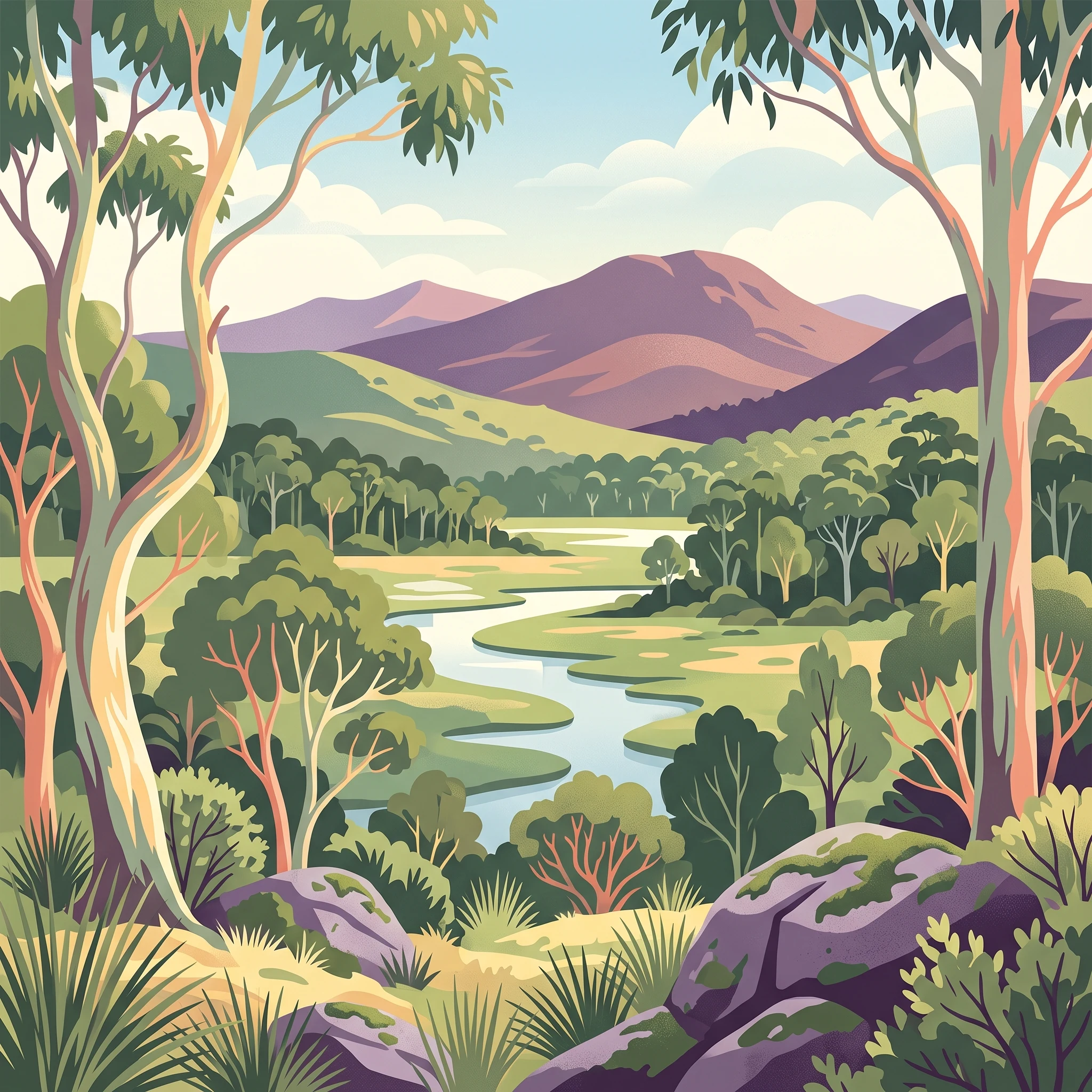
Namadgi National Park represents the Australian Capital Territory's largest and most ecologically significant protected area, encompassing a remarkable diversity of landscapes within a relatively compact alpine and sub-alpine environment. The park lies approximately 40 kilometres southwest of Canberra, spanning the southwestern corner of the ACT and forming a contiguous protected landscape with Kosciuszko National Park across the New South Wales border. The terrain is characterised by mountain ridges and valleys that transition from grassy plains at lower elevations through Snow Gum woodlands to alpine meadows and wetlands at higher altitudes. The Brindabella Ranges form the western boundary, while Bimberi Peak at 1,911 metres marks the highest point in the ACT. The park's ecological significance stems from its position at the northern end of the Australian Alps, a mountain chain that supports unique biodiversity found nowhere else in Australia. The park's visitor centre is located 2 kilometres south of Tharwa on the Boboyan-Naas Road, providing access to walking trails and recreational opportunities within this protected landscape.

Location
Australia
Park type
National park
Established
1984
Area
1,061 km²
Highest point
1,911 m
Namadgi National Park Protected Area
1 guide

Compare curated thematic guides to plan around seasonal weather and visitor timing.

Namadgi National Park Published Guides and Focused Alpine Park Documentation

Complete published guides for Namadgi National Park provide focused reference material for distinct visitor questions. Topic-led documentation covers optimal seasonal timing, alpine weather patterns, and mountain exploration preparation.
MoriAtlas Explorer

Continue Exploring Namadgi National Park's Geographic Context and Mapped Boundaries

Deepen your understanding of Namadgi National Park by exploring its specific geographic features and protected landscape context. This page serves as a detailed entry point into the park's atlas profile, offering insights into its position within the Australian Capital Territory's regional geography and its mapped environmental significance for further discovery.

Global natural geography