
Mori Atlas logo
Protected landscapeOberes Filstal-Gemeinde Gruibingen

A diverse mosaic of woodland, heath, and agricultural terrain in Baden-Württemberg

Oberes Filstal-Gemeinde Gruibingen Protected Landscape and Swabian Alb Geographic Context

(Landschaftsschutzgebiet Oberes Filstal-Gemeinde Gruibingen)

Oberes Filstal-Gemeinde Gruibingen is a designated protected landscape situated within the Mittlere Kuppenalb region of the Swabian Alb. This area preserves a tightly interwoven mosaic of brook-side vegetation, forest fragments, and heathland that frames several smaller nature reserves. By securing this traditional rural terrain, the area maintains ecological continuity between various EU-protected habitat corridors and the surrounding plateau geography.

landscape protection areaLandschaftsschutzgebietSwabian AlbMittlere KuppenalbFilsalbhedgerow mosaic
A flat-style digital illustration depicting a mountain valley with a waterfall flowing down a cliff into a river, surrounded by pine forests under a soft, light sky.

Oberes Filstal-Gemeinde Gruibingen

Protected landscape

Park overview

Structured park overview, official facts, and landscape profile for Oberes Filstal-Gemeinde Gruibingen

Oberes Filstal-Gemeinde Gruibingen park facts, protected area profile, and essential visitor context

Review the core facts for Oberes Filstal-Gemeinde Gruibingen, including designation, size, terrain, visitor scale, habitats, and operating context in one park-focused overview.

About Oberes Filstal-Gemeinde Gruibingen

Oberes Filstal-Gemeinde Gruibingen is one of the landscape protection areas (Landschaftsschutzgebiete) in the Göppingen district of Baden-Württemberg in southwestern Germany. The area wraps around the municipality of Gruibingen on the Swabian Alb and is part of the broader network of protected landscapes that frame the Schwäbische Alb's middle section.

Geographically, the protection area sits within the Mittlere Kuppenalb natural area, a subdivision of the Swabian Alb characterized by an undulating plateau surface broken by small valleys, wooded ridges, and isolated rock formations. Sections of the protected perimeter overlap with the Filsalb FFH area and the Mittlere Schwäbische Alb bird protection area, which link Gruibingen's landscape to European habitat and bird conservation networks.

The designated landscape is defined by its patchwork structure. Forest stands alternate with hedgerows, small brook-side woodlands, and open agricultural fields, while heath vegetation occupies drier and shallower soils. Three small ecosystems in particular benefit from this broader protective envelope: the nature reserve Heide am Hillenwang, the Rufsteinhänge und Umgebung rock-slope reserve, and the Kornberg reserve, all of which are surrounded by the landscape protection area. This arrangement concentrates ecological value within relatively compact territory.

For the local population, the landscape protection area also serves a recreation function. The protection order explicitly emphasizes securing the area's high recreational value for the general public, alongside the conservation goal, reflecting the dual role of such landscapes as both ecological buffers and accessible countryside on the edge of settled areas.

Quick facts and research context for Oberes Filstal-Gemeinde Gruibingen

Oberes Filstal-Gemeinde Gruibingen is a landscape protection area (Landschaftsschutzgebiet) located in the district of Göppingen in Baden-Württemberg, southern Germany. It was established by order of the Göppingen Landratsamt on 8 February 1984, with the official identifier 1.17.066. The area spans roughly the full municipal territory of Gruibingen on the Swabian Alb, within the Mittlere Kuppenalb natural region, and includes about 171 hectares of protected land.

Protection aims at preserving a varied mosaic of forests, hedgerows, small streamside woodlands, heath patches, meadows, and arable fields that together hold high ecological and scenic value, while also securing the area's role as a recreation space for the general public.

Protection and recognition

Documented protected area metrics, registry identifiers, and official management records.

Oberes Filstal Gemeinde Gruibingen Protection Status and Registry Data

Protected area records for Oberes Filstal Gemeinde Gruibingen outline the verified registry entries and official conservation identifiers associated with the landscape. Systematic documentation details the baseline territorial status and international database references assigned to the protected terrain.

Protection details

WDPA ID
323370
Park context

Deeper park guide and search-rich context for Oberes Filstal-Gemeinde Gruibingen

Oberes Filstal-Gemeinde Gruibingen history, landscape, wildlife, and travel context

Explore Oberes Filstal-Gemeinde Gruibingen through its history, landscape character, ecosystems, wildlife, conservation priorities, cultural context, and seasonal travel timing in a structured park guide built for atlas discovery and search intent.

Why Oberes Filstal-Gemeinde Gruibingen stands out

Oberes Filstal-Gemeinde Gruibingen is best known for safeguarding a richly structured section of the Swabian Alb landscape around the village of Gruibingen. The protected area stands out for preserving a tightly interwoven mosaic of woodland, field hedgerows, brook-side vegetation, heath remnants, and agricultural land that retains a strong traditional rural character. Within this mosaic, the landscape protection area provides the surrounding framework for several smaller nature reserves, including Heide am Hillenwang, Rufsteinhänge und Umgebung, and Kornberg, and overlaps with the Filsalb habitat area and the Mittlere Schwäbische Alb bird protection area. This layering of protection categories gives the area notable ecological importance beyond its moderate size.
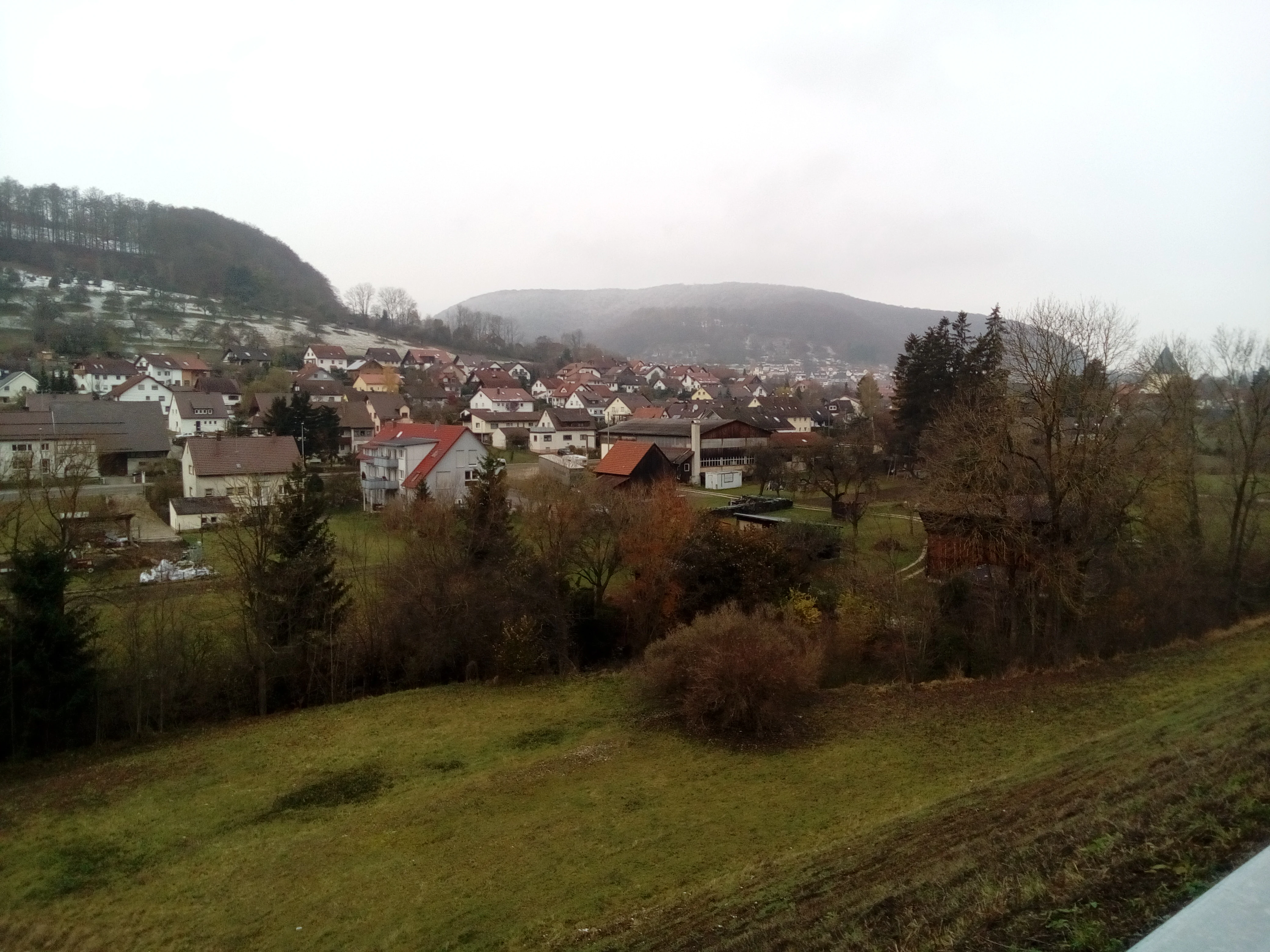
A wide shot looking across a grassy slope towards the village of Gruibingen, surrounded by forested hills under an overcast sky.
A view of the Gruibingen municipality nestled within the hilly terrain of the Oberes Filstal region.

Oberes Filstal-Gemeinde Gruibingen history and protected-area timeline

The landscape protection area Oberes Filstal-Gemeinde Gruibingen was established by order of the Göppingen district office on 8 February 1984. With this order, several earlier protection instruments that had partially covered the municipality were rescinded insofar as they affected Gruibingen's territory. These included a 1940 ordinance of the Württemberg Ministry of Culture protecting landscape features along the Stuttgart-Munich autobahn in the districts of Esslingen, Nürtingen, Göppingen, and Ulm, a 1939 district order protecting summer sheep pastures as landscape features, and a 1968 district order that had created the earlier Kornberg and Sielenwang landscape protection area through to the lower Rufstein near Gruibingen and Auendorf.

The 1984 order consolidated and replaced these earlier protections with a single, modern landscape protection area defined by the current municipal boundary of Gruibingen, while leaving the smaller and more strictly protected nature reserves within the area untouched. The protection designation remains under the administration of the Göppingen district.

Oberes Filstal-Gemeinde Gruibingen landscape and geographic character

The protected area sits on the Mittlere Kuppenalb, the middle section of the Swabian Alb's kuppen (hill-and-basin) landscape, where a plateau surface is interrupted by shallow valleys, wooded ridges, and isolated slopes rising above the surrounding farmland. Topography within the municipal territory is correspondingly rich: gentle basin floors, streambeds, and pronounced ridge edges alternate across relatively short distances.

Notable landforms near or within the area include the rock slopes of the Rufstein, the Kornberg hill, and the Hillenwang heath ridge, each of which carries its own specific character of rocky outcrops, shallow soils, or open ground. The Winkelbach valley cuts a small but characteristic notch into the landscape and accommodates the campsite that lies outside the formal protection area but remains part of the wider visual setting.

Oberes Filstal-Gemeinde Gruibingen ecosystems, habitats, and plant life

Ecologically, the landscape is defined by its tight mosaic of habitats. Closed forest stands on the deeper soils give way to field hedgerows, narrow strips of brook-side woodland along small watercourses, and remnant heath vegetation on poorer, drier ground. Agricultural land, both arable fields and meadows, occupies the more open parts of the terrain and links these natural elements into a connected rural landscape.

The protection order specifically emphasizes the area's floristic diversity as a high-value ecological feature. The combination of woodland, hedgerow, heath, and agricultural habitat creates conditions for a wide range of plant communities across a relatively compact area. The protection area also extends into sections of the Filsalb FFH site and the Mittlere Schwäbische Alb bird protection area, reinforcing its ecological role within broader European-level habitat networks.

Oberes Filstal-Gemeinde Gruibingen wildlife and species highlights

The structured mosaic of forest, hedgerows, brook-side vegetation, and heathland supports varied wildlife typical of the central Swabian Alb. Forest patches provide cover for typical woodland species, while the network of hedges and small watercourses adds connectivity for smaller mammals, insects, and breeding birds moving through the agricultural landscape.

Heath and rock-slope areas, especially around the Hillenwang, Rufstein, and Kornberg nature reserves, support more specialized fauna and flora adapted to dry, open, or rocky conditions. The inclusion of parts of the area within the Mittlere Schwäbische Alb bird protection area reflects the area's regional importance for breeding and migrating bird species across the Swabian Alb plateau.

Oberes Filstal-Gemeinde Gruibingen conservation status and protection priorities

The protection area's conservation purpose centers on maintaining the diversity, character, and beauty of a richly structured Alpine (Alb) landscape that remains in active agricultural and forestry use. The official protection order highlights both the ecological value of the habitat mosaic and its high recreational significance for the general public, treating these as complementary objectives.

In conservation terms, the landscape protection area functions as a framework rather than a strict reserve. By enveloping the smaller and more strictly protected nature reserves of Heide am Hillenwang, Rufsteinhänge und Umgebung, and Kornberg, it buffers those core areas from surrounding land-use pressure and maintains the agricultural and forest surroundings on which their long-term ecological condition depends. The overlap with the Filsalb FFH area and the Mittlere Schwäbische Alb bird protection area also ties the local landscape to regional and European conservation priorities.

Oberes Filstal-Gemeinde Gruibingen cultural meaning and human context

The protected landscape reflects the long-standing rural use of the Swabian Alb plateau around Gruibingen, where farming, seasonal grazing, and forestry have shaped an interleaved pattern of fields, meadows, hedges, and woodland. The historical references to earlier protection orders for summer sheep pastures and to landscape features along the Stuttgart-Munich autobahn also show how successive layers of land use and infrastructure planning have left their mark on the area's protection history.

In its current form, the landscape protection area represents a modern, integrated approach to conserving both the working countryside and the ecological structures that have grown up alongside centuries of small-scale land use in this part of the Schwäbische Alb.

Top sights and standout views in Oberes Filstal-Gemeinde Gruibingen

The protected area's strengths lie in the tight ecological mosaic it preserves: forest, hedgerows, brook-side woodland, heath, and farmland compressed within a single municipal territory. It functions as a protective envelope around three nature reserves and connects to EU-level habitat and bird protection areas, which gives it more ecological weight than its compact size suggests. At the same time, it secures a recognized recreation space for the local population on the edge of the densely settled Filstal corridor.

Best time to visit Oberes Filstal-Gemeinde Gruibingen

Like much of the Swabian Alb, the area around Gruibingen is rewarding across the warmer months, when meadows, hedgerows, and woodland edges are most active. Late spring and early summer highlight the floristic diversity emphasized in the protection order, while the structured landscape of forest, field, and hedgerow remains attractive for walking and quiet countryside recreation throughout the snow-free season. Visitors interested in the heath and rock-slope areas around the Hillenwang, Rufstein, and Kornberg reserves will find the most distinct impressions in the warmer half of the year.


Monthly climate preview

Long-term temperature ranges and precipitation patterns across representative coordinates

Oberes Filstal-Gemeinde Gruibingen Climate Normals and Monthly Weather Records

Historical data records mean monthly temperatures spanning sub-zero winter minimums to warm summer maximums alongside consistent daily precipitation. Reviewing the complete twelve-month climatology profile provides deeper analytical context regarding regional atmospheric norms.
Annual mean8 °C
-1 °C18 °C
Jan-1°
Feb
Mar
Apr
May13°
Jun16°
Jul18°
Aug18°
Sep14°
Oct
Nov
Dec
Warmest month
July

18.2 °C

Coolest month
January

-1.1 °C

Wettest month
July

3.2 mm/day

Driest month
February

1.7 mm/day

Park location guide

Geography guide, regional context, and park location map for Oberes Filstal-Gemeinde Gruibingen

Oberes Filstal-Gemeinde Gruibingen park geography, regions, and map view in Germany

Understand where Oberes Filstal-Gemeinde Gruibingen sits in Germany through a broader geographic reading of the surrounding landscape, nearby location context, and its mapped position within the national park landscape.

How Oberes Filstal-Gemeinde Gruibingen fits into Germany

Germany is a federal republic in Western and Central Europe with a population of over 83 million across sixteen constituent states. It is Europe's largest economy by nominal GDP and a major global exporter and importer. The capital is Berlin, and the country borders Denmark, Poland, Czech Republic, Austria, Switzerland, France, Luxembourg, Belgium, and the Netherlands.

Wider geography shaping Oberes Filstal-Gemeinde Gruibingen in Germany

Germany is located in Western and Central Europe, spanning 357,022 km². It borders Denmark to the north, Poland and the Czech Republic to the east, Austria and Switzerland to the south, and France, Luxembourg, Belgium, and the Netherlands to the west. The country has coastlines on the Baltic Sea and North Sea to the north, with the Alps located in the southern region.

Map view of Oberes Filstal-Gemeinde Gruibingen

Use this park location map to pinpoint Oberes Filstal-Gemeinde Gruibingen in Germany, understand its exact geographic position, and read its mapped placement within the surrounding landscape more clearly.

Pigeon | © OpenStreetMap contributors

Location context for Oberes Filstal-Gemeinde Gruibingen

Baden-Württemberg

Visualizing the terrain, habitats, and traditional rural mosaics of the Swabian Alb

Oberes Filstal-Gemeinde Gruibingen Photos and Protected Landscape Scenery

Visual records capture the varied topography, wooded ridges, and open heath remnants that define the protected landscape around Gruibingen. Exploring these field photographs and habitat views reveals the complex ecological structure sustaining the region across seasons.

A wide shot looking across a grassy slope towards the village of Gruibingen, surrounded by forested hills under an overcast sky.

Park atlas

Compare adjacent hill-and-basin reserves and surrounding Swabian Alb protected areas

Exploring Parks Near Oberes Filstal-Gemeinde Gruibingen and Regional Protected Landscapes

Browsing nearby protected areas allows visitors to examine how regional hill-and-basin terrain connects across the Swabian Alb. Comparing adjacent reserves reveals broader ecological patterns embedded within the surrounding landscape mosaic.
Protected landscapeBaden-Württemberg
About 3.3 km away#1 closest

West

Weilheim an der Teck auf Gemarkungen Weilheim und Hepsisau Protected Landscape Atlas

Volcanic hill geography in the Baden-Württemberg region

This protected area safeguards a richly structured landscape where rolling foothills meet the steep escarpments of the Swabian Alb. Centered on the volcanic peaks of Limburg and Egelsberg, the region maintains a vital balance between forest corridors and open agricultural plains within the district of Esslingen.

Area
13.615 km²
Established
1979
IUCN
V
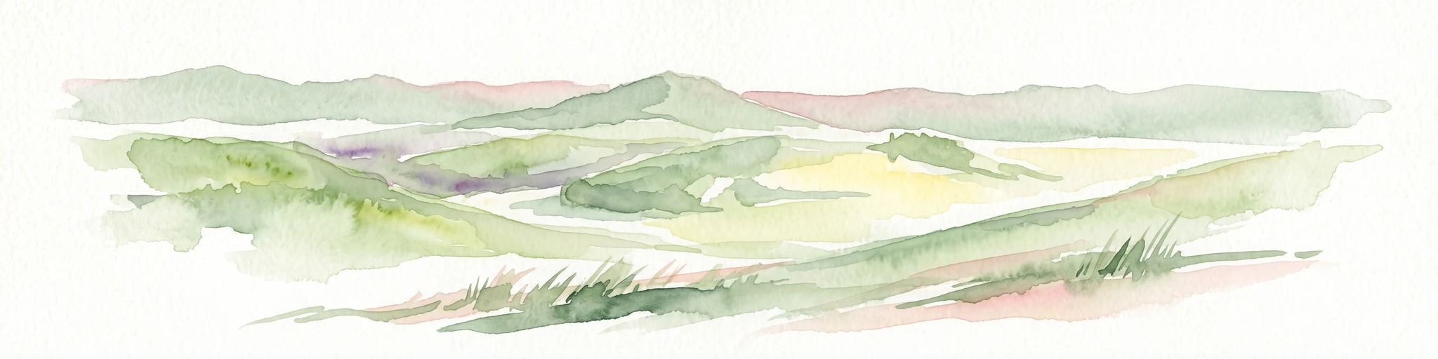
A soft watercolor painting depicting rolling green hills and meadows against a white background.
Protected landscapeBaden-Württemberg
About 3.8 km away#2 closest

Southwest

Neidlinger Tal Protected Landscape: Regional Geography and Mapped Boundaries

A study of the Swabian Alb and Alb foreland transition terrain

The Neidlinger Tal protected landscape represents a vital intersection of natural regions in Baden-Württemberg. Its boundaries encompass a mosaic of forest and farmland, providing a comprehensive look at how historical land use patterns coexist with modern conservation efforts within the Swabian Alb, including various bird and habitat protection designations.

Area
10.959 km²
Established
1975
IUCN
V
Relief
Upland
Protected landscapeBaden-Württemberg
About 4.4 km away#3 closest

Southeast

Oberes Filstal-Gemeinde Mühlhausen im Täle: Protected Landscape Geography and Map Data

Swabian Alb regional landscape and habitat mosaic

Analyze the protected landscape of Oberes Filstal-Gemeinde Mühlhausen im Täle through its unique physical terrain and ecological structure. This area in the Göppingen district features a complex interplay of river valleys and plateau uplands, creating a habitat corridor that links the Fils valley with the wider Swabian Alb, supporting diverse flora and traditional land-use patterns.

Area
5.13 km²
Established
1983
IUCN
V
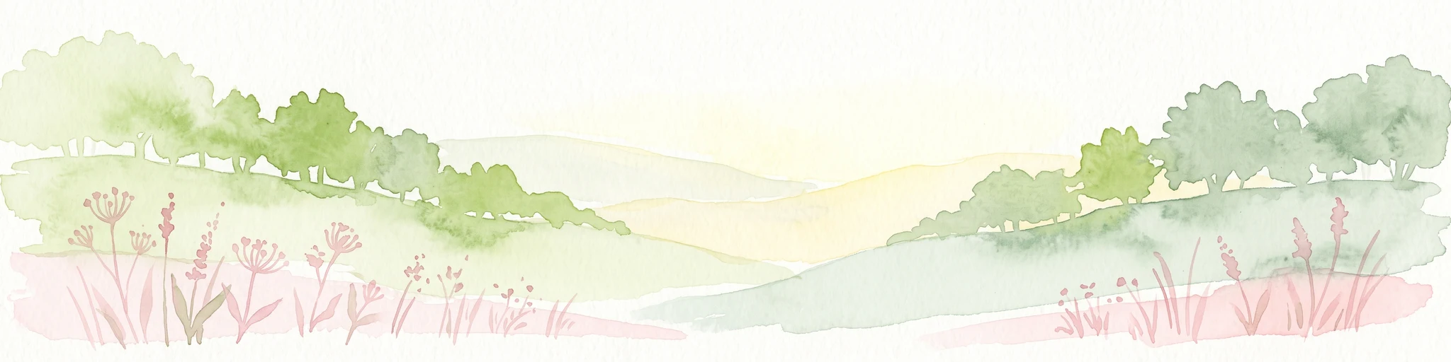
Watercolor illustration of rolling green hills, trees, and wildflowers, with a soft, bright, and light aesthetic.
Protected landscapeBaden-Württemberg
About 4.8 km away#4 closest

South

Oberes Filstal-Stadt Wiesensteig: Protected Landscape and Regional Geography Mapping

An atlas overview of the Mittlere Kuppenalb landscape mosaic

Covering roughly 171 hectares around Wiesensteig, this protected area serves as a vital component of the central Swabian Alb geography. The site features an undulating karst terrain characterized by a dense forest mosaic, hedgerows, and historic pastoral features. Through its alignment with local Natura 2000 sites, it forms a cohesive ecological bridge between the upper Fils valley and the surrounding high plateau.

Area
1.71 km²
Established
1985
IUCN
V
Relief
Highland
Protected landscapeBaden-Württemberg
About 6.4 km away#5 closest

North

Wolfschlugen Protected Landscape: Geography and Atlas of the Filder Plateau

Mapped protected lands in Baden-Württemberg Germany

Wolfschlugen stands as a significant protected area in the Esslingen district, preserving traditional orchard meadows and open agricultural plains. The area offers a detailed study of regional land use, featuring a mosaic of meadow habitats and stream-side wetlands essential to the Filder plateau landscape character.

Area
0.51 km²
Established
1985
IUCN
V
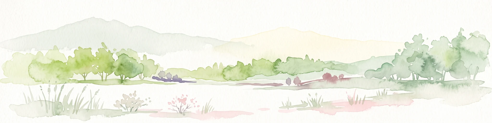
A minimalist watercolor painting depicting a soft-focus landscape with rolling hills, distant ridgelines, and scattered trees across a meadow, rendered in muted greens, purples, and pinks on a white background.
Protected landscapeBaden-Württemberg
About 7.1 km away#6 closest

Northwest

Ohmden-Holzmaden Protected Landscape: Swabian Alb Foothill Mapping

A diverse mosaic of traditional orchards and stream valleys

Ohmden-Holzmaden encompasses a vital protected landscape in the Esslingen district, defined by the Trinkbach, Seebach, and Aubach valleys. This geography of traditional orchards, meadows, and hedgerows maintains an open, structured rural habitat that serves as a critical refuge within the broader Swabian Alb foothill region of Germany.

Area
3.111 km²
Established
1993
IUCN
V
Relief
Upland
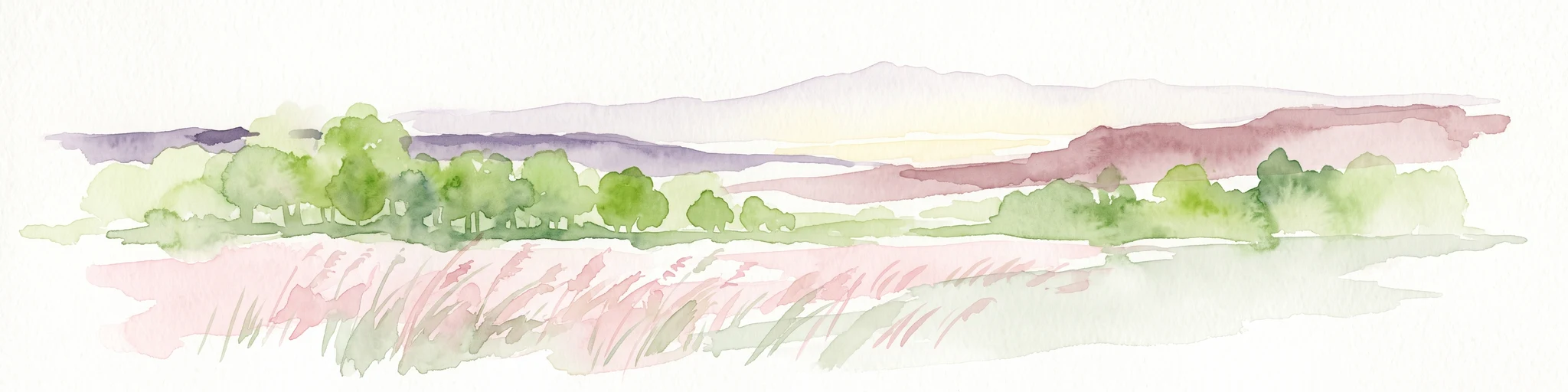
A pale, soft-toned watercolor painting depicting a gentle, rolling landscape with green fields, distant hills, and sparse clusters of trees.
Protected landscapeBaden-Württemberg
About 10 km away#7 closest

South

Sommerschafweide hinter dem Hockenden Stein, Auchtweide Protected Landscape and Map

Historic Swabian Alb pasture and geological Kanzel terrain

Discover the geographic layout of Sommerschafweide hinter dem Hockenden Stein, Auchtweide, a protected area in Baden-Württemberg. This site highlights traditional grazed Magerrasen, mature pasture beeches, and the striking geological rock formation known as the Hockender Stein, offering insight into the conservation of the Mittlere Kuppenalb cultural landscape.

Area
0.065 km²
Established
1955
IUCN
V
Relief
Upland
Protected landscapeBaden-Württemberg
About 10 km away#8 closest

East

Weigoldsberg Protected Landscape: Mapped Terrain in the Swabian Alb of Baden-Württemberg

A contiguous hill-landscape with integrated Natura 2000 ecological zones

Weigoldsberg functions as a coherent protected landscape unit within the Mittlere Kuppenalb, spanning the transition between upland terrain and the Fils valley. This area integrates near-natural forest, traditional meadow mosaics, and high-value ecological zones such as the Filsalb FFH and Mittlere Schwäbische Alb bird protection area. Gain insights into its relief, land use patterns, and conservation designation.

Area
2.16 km²
Established
1975
IUCN
V
Relief
Mountain

Common questions about visiting, size, designation, and location context for Oberes Filstal-Gemeinde Gruibingen

Oberes Filstal-Gemeinde Gruibingen FAQs for park facts, access, geography, and protected area context

Find quick answers about Oberes Filstal-Gemeinde Gruibingen, including protected-area facts, park geography, trail and visitor context, and how the park fits into its surrounding country and regional landscape.
MoriAtlas Explorer

Continue Your Protected Areas Search Across the Global Atlas

Deepen your exploration by continuing the structured search for national parks and protected areas worldwide. Utilize the comprehensive filtering capabilities to compare different conservation landscapes and refine your understanding of global park geography. Discover more about the distribution and characteristics of protected natural areas.

Global natural geography