
Mori Atlas logo
Protected landscapeShasta–Trinity National Forest

Tracing the intersection of the Klamath Mountains and the Cascade Range across vast volcanic and alpine terrain

Shasta–Trinity National Forest: A Comprehensive Geographic Atlas of Protected Northern California Lands

Shasta–Trinity National Forest encompasses over two million acres of diverse terrain, serving as a critical geographic anchor in Northern California. This protected landscape bridges the rugged Klamath Mountains and the southern Cascade Range, featuring the massive stratovolcano Mount Shasta and the extensive shoreline of Shasta Lake. The area preserves vast wilderness corridors, deep river canyons, and complex forest ecosystems that stretch across six distinct counties.

national forestCaliforniaMount ShastaShasta Lakewilderness areasTrinity Alps
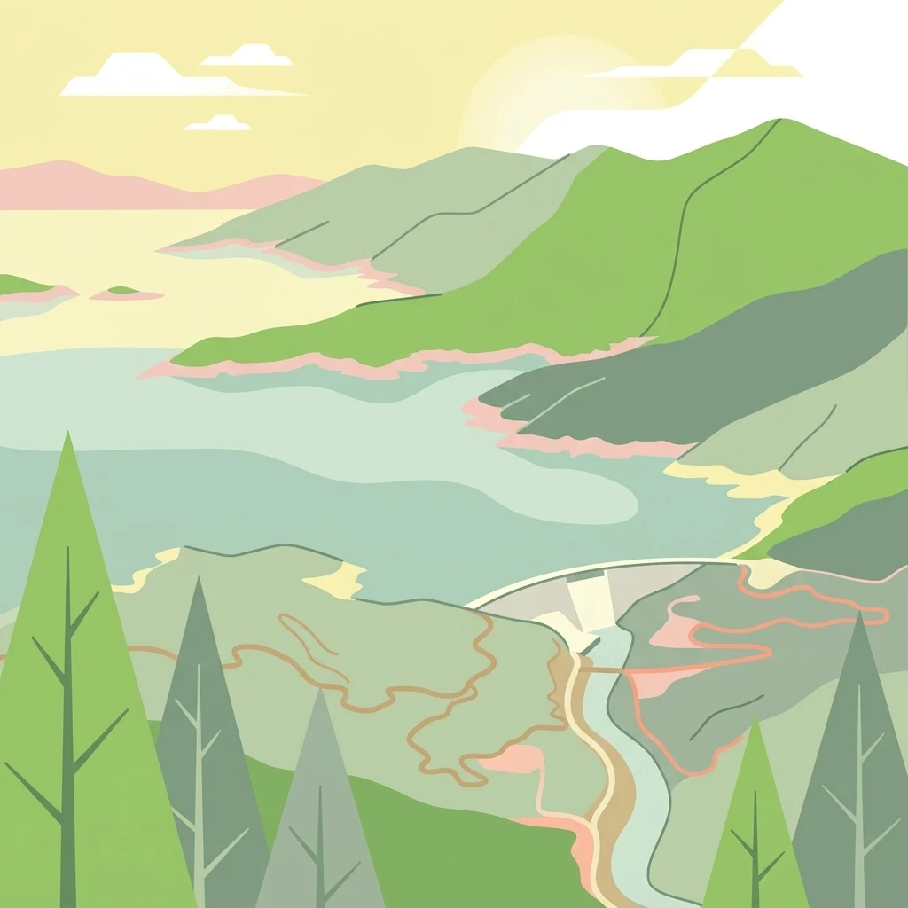
A stylized vector illustration of a reservoir, dam, and surrounding green mountains under a soft sun.

Shasta–Trinity National Forest

Protected landscape

Park overview

Structured park overview, official facts, and landscape profile for Shasta, Trinity National Forest

Shasta, Trinity National Forest park facts, protected area profile, and essential visitor context

Review the core facts for Shasta, Trinity National Forest, including designation, size, terrain, visitor scale, habitats, and operating context in one park-focused overview.

About Shasta, Trinity National Forest

Shasta–Trinity National Forest is the largest national forest in California and one of the defining protected landscapes of the American West. It covers approximately 2.2 million acres across northern California, stretching from the Sacramento River canyon near Redding northwest into the Klamath Mountains and northeast toward the volcanic country around Medicine Lake. The forest's setting is shaped by the collision of two major geologic provinces: the eastern flank of the Klamath Mountains and the southern Cascade Range.

The forest's most prominent landmark is Mount Shasta, a 14,179-foot potentially active stratovolcano that stands well above the surrounding terrain and can be seen from far across northern California. Shasta Lake, the reservoir behind Shasta Dam on the Sacramento River, is the other defining feature, with five major arms reaching into forested canyons. Together, these two features anchor a landscape that also includes the deeply eroded canyons of the Trinity River, the granite spires of the Trinity Alps, and the broad volcanic plateaus east of Mount Shasta.

Ecologically, the forest is unusually diverse because of its elevation range and its position at the junction of two major mountain systems. Foothill slopes around Shasta Lake support oak woodlands and chaparral with gray pine, ponderosa pine, blue oak, and Douglas-fir. Mid-elevation forests are mixed conifer stands of sugar pine, incense-cedar, white fir, and Jeffrey pine. Higher elevations in the Trinity Alps and on Mount Shasta transition into red fir, mountain hemlock, lodgepole pine, and ultimately subalpine and alpine terrain.

The forest is also a recreation landscape of statewide importance, with the Whiskeytown–Shasta–Trinity National Recreation Area embedded within it, and more than 460 miles of trails, including a major section of the Pacific Crest Trail. It supports a broad mix of activities, from lake-based recreation and developed camping to backcountry travel in designated wilderness, and it plays an important role in California's water supply as part of the Sacramento and Trinity river systems.

Quick facts and research context for Shasta, Trinity National Forest

Shasta–Trinity National Forest is the largest national forest in California, with about 2.2 million acres of federally managed land. It lies in northern California across Trinity, Shasta, Siskiyou, Tehama, Modoc, and Humboldt counties. The forest contains Shasta Lake, California's largest reservoir, and Mount Shasta, one of the most prominent volcanic peaks in the contiguous United States.

The forest contains five congressionally designated wilderness areas, including the Trinity Alps, Mount Shasta, Castle Crags, Chanchelulla, and Yolla Bolly-Middle Eel wildernesses. It also includes parts of the Whiskeytown–Shasta–Trinity National Recreation Area, which links Shasta, Lewiston, and Trinity Lakes along the Sacramento and Trinity River systems. The main stem of the Trinity River flows through the forest as a designated National Wild and Scenic River.

Protection and recognition

Documented management scope and conservation recognition details

Shasta–Trinity National Forest Protection Status and Terrestrial Scope

Shasta–Trinity National Forest maintains a documented terrestrial protection scope within its designated boundaries. Verified records outline official management parameters and conservation designations associated with this protected landscape.

Protection details

Protection scope
Terrestrial
Transboundary protection
No
Park context

Deeper park guide and search-rich context for Shasta, Trinity National Forest

Shasta, Trinity National Forest history, landscape, wildlife, and travel context

Explore Shasta, Trinity National Forest through its history, landscape character, ecosystems, wildlife, conservation priorities, cultural context, and seasonal travel timing in a structured park guide built for atlas discovery and search intent.

Why Shasta, Trinity National Forest stands out

Shasta, Trinity National Forest is best known for the pairing of Mount Shasta and Shasta Lake within a single protected landscape. Mount Shasta draws attention as a major Cascade stratovolcano with a long climbing and ski mountaineering tradition, while Shasta Lake is one of the largest man-made lakes in the western United States, with extensive boating, houseboating, and shoreline recreation. The forest is also recognized for the Trinity Alps Wilderness, a rugged subrange of the Klamath Mountains famous for alpine lake basins and granite scenery. Together, these features create a protected area that encompasses volcanic peaks, glacial cirques, foothill canyons, and major reservoirs, all within one management unit.
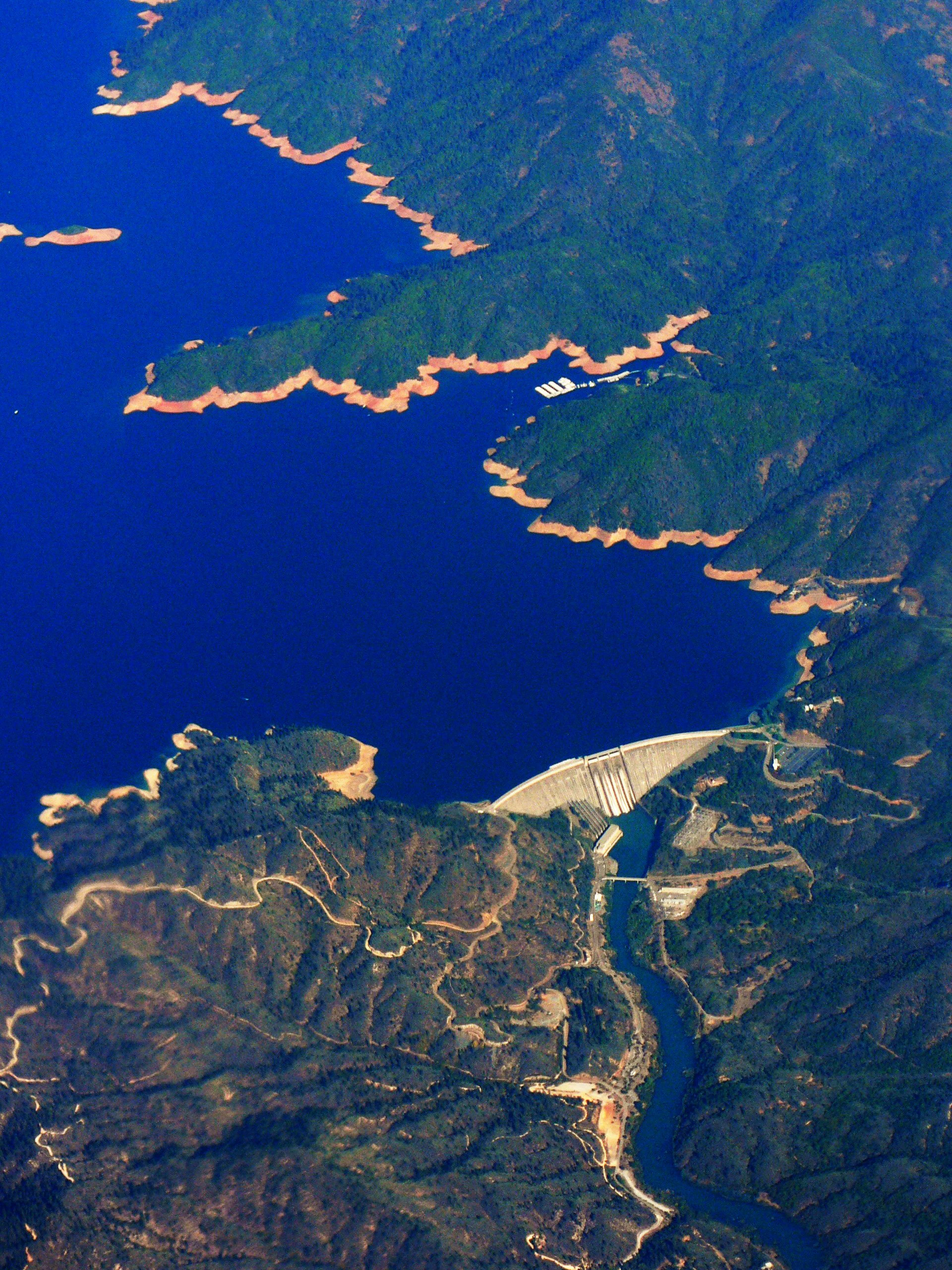
Aerial view of the large concrete arch of Shasta Dam holding back the deep blue water of Shasta Lake, surrounded by forested mountains and winding dirt roads.
Aerial view of Shasta Dam and the surrounding Shasta Lake reservoir.

Shasta, Trinity National Forest history and protected-area timeline

The origins of Shasta–Trinity National Forest lie in two separate national forests established in 1905, when early U.S. Forest Service administration was getting underway. That same year, the first timber sale under the new agency occurred on what was then called the Shasta Reserve. The Shasta National Forest was established in 1905, as was the Trinity National Forest, which was set in the forested mountains west of the Sacramento Valley.

The two forests were administratively combined in 1954 into a single entity that was officially renamed the Shasta–Trinity National Forest. From 1945 to 1948, the area was also managed by the National Park Service, reflecting the transitional period of wartime and early postwar federal land management. The Civilian Conservation Corps played a visible early role in the forest's development during the 1930s, when enrollees worked on planting and reforestation projects in the Shasta area.

Over time, the consolidated forest absorbed additional designations, including congressionally designated wilderness areas and portions of the Whiskeytown–Shasta–Trinity National Recreation Area, formalizing its identity as a multi-use landscape with protected wilderness cores embedded within a broader working forest.

Shasta, Trinity National Forest landscape and geographic character

Shasta–Trinity National Forest occupies a dramatic and varied landscape at the meeting point of the Klamath Mountains and the southern Cascades. The southern and western portions of the forest are dominated by the rugged, deeply dissected terrain of the Klamath Mountains, with steep canyons, forested ridges, and the sharp granite peaks of the Trinity Alps. By contrast, the eastern and northern portions of the forest carry the influence of Cascade volcanism, with broad plateaus, cinder cones, lava flows, and the massive cone of Mount Shasta.

Mount Shasta itself is the defining landform of the forest, an isolated stratovolcano rising more than 14,000 feet above the surrounding valleys. South and west of the mountain, Shasta Lake fills a network of drowned river canyons behind Shasta Dam, producing a reservoir with more than 360 miles of shoreline and four distinct arms reaching into different drainage systems. Further west, the Trinity River and its forks cut deep canyons through the Klamath terrain, while the eastern reaches of the forest include the volcanic highlands around the Medicine Lake Volcano.

Castle Crags, a cluster of granite spires near Interstate 5, marks the southern transition of the forest between the Klamath world and the volcanic world, while South Fork Mountain provides a long forested spine separating the Shasta–Trinity from the Six Rivers National Forest. The combined effect of these features is a protected area with far more topographic variety than its single management designation might suggest.
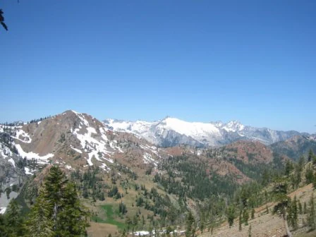
A wide mountain landscape featuring snow-capped peaks against a clear blue sky, with forested slopes in the foreground.
A view of the Trinity Alps, a range within the Shasta-Trinity National Forest.

Shasta, Trinity National Forest ecosystems, habitats, and plant life

The vegetation of Shasta–Trinity National Forest is unusually diverse for a single national forest, in part because the area spans the elevation and climatic transition between the Klamath Mountains and the southern Cascades. In warmer, lower elevations around Shasta Lake and the Sacramento River canyon, the forest is composed of oak woodlands and chaparral dominated by gray pine, knobcone pine, ponderosa pine, blue oak, canyon live oak, black oak, and Douglas-fir, with an understory rich in manzanitas, ceanothus, California buckeye, coffeeberry, and western redbud.

At mid-elevations, the character of the forest shifts. Sugar pine, incense-cedar, white fir, and Jeffrey pine join Douglas-fir and ponderosa pine, producing classic mixed conifer stands. Serpentine soils in parts of Trinity County host distinctive communities of incense-cedar and Jeffrey pine with shrubby Congdon's silktassel, leather oak, and hoary manzanita. Moist stream canyons elsewhere support bigleaf maple, dogwood, white alder, willow, and western spicebush.

Higher elevations mark a third vegetation zone, with red fir, mountain hemlock, foxtail pine, and lodgepole pine dominating the upper montane and subalpine forests, and Western white pine and whitebark pine taking over near the upper limits of tree growth. Montane meadows and seeps in this zone support distinctive plants such as California pitcherplant and western azalea. Above the tree line, vegetation gives way to montane chaparral, subalpine woodlands, and ultimately alpine rock and scree, particularly around Mount Shasta and in the upper Trinity Alps.
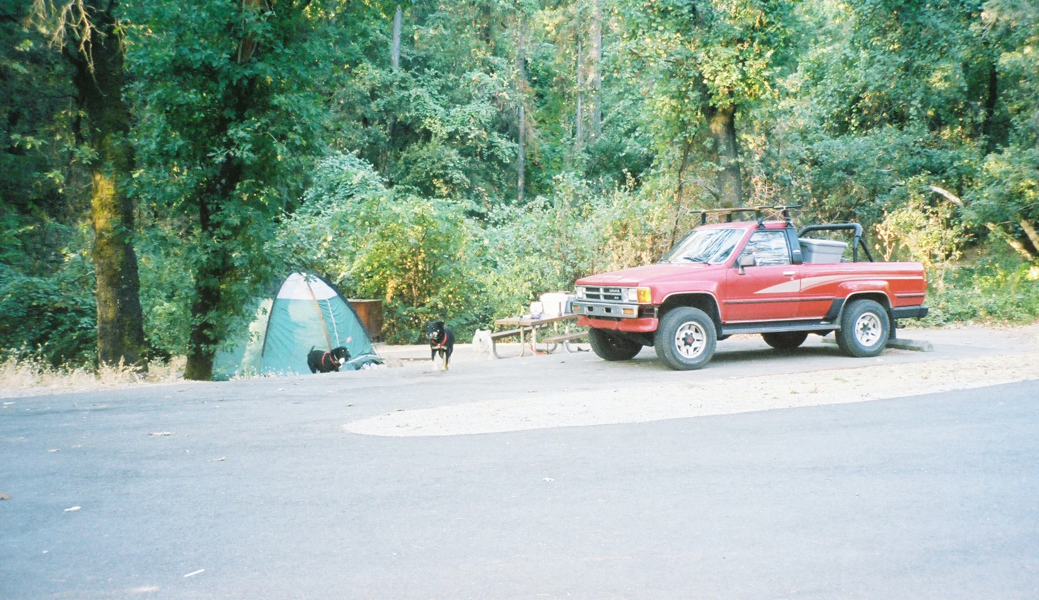
A red pickup truck is parked at a paved campsite with a green dome tent and a dog nearby in a wooded forest area.
A campsite at Bailey Cove in Shasta-Trinity National Forest.

Shasta, Trinity National Forest wildlife and species highlights

Wildlife in Shasta–Trinity National Forest reflects the same ecological range that shapes its vegetation, supporting species associated with oak woodland, mixed conifer forest, montane and subalpine habitats, and large lacustrine and river environments. The forest's mountain lakes and streams are widely known for trout, salmon, and steelhead, with the Trinity River near Weaverville recognized as a destination for salmon and steelhead angling and streams such as Canyon Creek, Coffee Creek, Grizzly Creek, and the Stuart Fork of the Trinity supporting wild trout populations.

Larger mammals typical of the Klamath and Cascade forests of northern California are present in the backcountry, including black bear, mule deer, and mountain lions, along with species such as elk in some areas. The forest's extensive wilderness and roadless terrain provides important habitat for these species, while the lakes and reservoirs support resident and migratory waterfowl. Bald eagles and ospreys are associated with the major lakes and river corridors, particularly around Shasta Lake and the Trinity River.

Shasta, Trinity National Forest conservation status and protection priorities

Shasta–Trinity National Forest plays a significant conservation role in northern California by linking together large blocks of protected forest habitat at the junction of two major mountain systems. Five congressionally designated wilderness areas within the forest, including the Trinity Alps, Mount Shasta, Castle Crags, Chanchelulla, and Yolla Bolly-Middle Eel wildernesses, ensure that substantial portions of the forest remain in a relatively undeveloped state, buffering otherwise fragmented landscapes and protecting headwater ecosystems.

The forest also covers a large share of the South Fork Trinity River watershed and the main stem of the Trinity River, the latter of which is formally designated as a National Wild and Scenic River. These river designations help preserve water quality, riparian habitat, and salmonid populations in a region that has seen considerable historical pressure on its aquatic systems. Older restoration and reforestation work by the Civilian Conservation Corps in the 1930s established a long tradition of active stewardship that continues in modern management of the forest.

Shasta, Trinity National Forest cultural meaning and human context

The Shasta–Trinity region has deep human history connected to the indigenous peoples of northern California, the Gold Rush era, and the federal conservation movement. The watershed and mountain landscapes now within the forest were home to Native Californian communities whose relationship with the land long predates federal protection, and the mid-nineteenth century gold rush shaped early Euro-American presence in the Trinity River country, leaving a legacy of historic mining communities and small mountain towns such as Weaverville and Lewiston that still anchor the region.

The early administrative history of the forest, including ranger stations such as the Forest Glen cabin built in 1916, reflects the formative years of the U.S. Forest Service and the institutional development of national forest management in California. The Civilian Conservation Corps period of the 1930s added a further layer of cultural significance through the work of enrollees who contributed to early reforestation and infrastructure across the forest.

Top sights and standout views in Shasta, Trinity National Forest

Highlights of Shasta–Trinity National Forest include the commanding presence of Mount Shasta, the sprawling shoreline of Shasta Lake, and the rugged granite terrain of the Trinity Alps Wilderness. Together, these features combine volcanic, lacustrine, and alpine environments within a single protected landscape, while the Whiskeytown–Shasta–Trinity National Recreation Area ties the largest lakes into a destination-scale recreation complex.

The forest is also distinguished by its vegetation transitions, which move from foothill oak and chaparral up through mixed conifer forest to red fir and subalpine stands, and by its network of trails, scenic byways, and historic lookouts such as Little Mt. Hoffman and the Forest Glen cabin.

Best time to visit Shasta, Trinity National Forest

Shasta–Trinity National Forest offers distinct seasonal experiences. Late spring through early fall is generally the most accessible period, when snow has receded from most mid-elevation trails, lakes are at their fullest behind the dams, and Shasta Lake is at the center of the forest's recreation scene. Summer in particular is well suited to lake-based activities, hiking in the Trinity Alps, and travel along the Volcanic Legacy Scenic Byway and the Modoc Volcanic Scenic Byway.

Winter transforms the higher elevations of the forest, especially around Mount Shasta, into a destination for downhill and cross-country skiing, snowboarding, and snowmobiling, while lower-elevation roads and trailheads near Shasta Lake and the Sacramento River canyon often remain accessible year-round. Shoulder seasons can also be rewarding for visitors interested in wildflower displays at lower elevations and quieter access to wilderness areas before or after peak summer use.

Monthly climate preview

Long-term representative temperature and monthly precipitation averages

Shasta–Trinity National Forest Climate Normals and Weather by Month

Shasta–Trinity National Forest exhibits measured annual temperature variations alongside distinct monthly precipitation averages recorded across a representative coordinate. Accessing the complete twelve-month climatology provides detailed records for tracking long-term environmental patterns.
Annual mean11 °C
2 °C23 °C
Jan
Feb
Mar
Apr
May12°
Jun17°
Jul23°
Aug22°
Sep19°
Oct12°
Nov
Dec
Warmest month
July

22.5 °C

Coolest month
December

2.4 °C

Wettest month
December

7.5 mm/day

Driest month
July

0.2 mm/day

Park location guide

Geography guide, regional context, and park location map for Shasta, Trinity National Forest

Shasta, Trinity National Forest park geography, regions, and map view in United States of America

Understand where Shasta, Trinity National Forest sits in United States of America through a broader geographic reading of the surrounding landscape, nearby location context, and its mapped position within the national park landscape.

How Shasta, Trinity National Forest fits into United States of America

The United States of America is a federal presidential republic and one of the world's largest countries by area and population. It consists of 50 states across a vast territory spanning multiple time zones, with its capital in Washington, D.C. and largest city in New York City. The nation has a diverse economy, influential political system, and significant cultural and military presence globally.

Wider geography shaping Shasta, Trinity National Forest in United States of America

The United States occupies a vast territory in North America, bordered by Canada to the north and Mexico to the south. The 48 contiguous states stretch from the Atlantic to the Pacific Ocean, while Alaska occupies the northwestern region and Hawaii is an archipelago in the Pacific. The country encompasses diverse terrain including the Rocky Mountains, Appalachian Mountains, Great Plains, and extensive river systems.

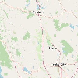
Map view of Shasta, Trinity National Forest

Use this park location map to pinpoint Shasta, Trinity National Forest in United States of America, understand its exact geographic position, and read its mapped placement within the surrounding landscape more clearly.

Pigeon | © OpenStreetMap contributors

Location context for Shasta, Trinity National Forest

California
Natural feature types

Trace the Natural Geography and Named Landmarks of Shasta–Trinity National Forest

Continue your geographic discovery by browsing the natural features of Shasta–Trinity National Forest within the MoriAtlas database. This collection connects specific mountain peaks, aquatic systems, and geologic formations into a structured view of the forest, helping you map the intricate terrain of this massive protected California landscape.
Recorded earthquake history

Explore the Historical Earthquake Catalogue for Shasta–Trinity National Forest

Discover a detailed record of seismic activity associated with the geographic footprint of Shasta–Trinity National Forest. Through MoriAtlas, review historical event data including magnitudes and epicentre locations, building a clearer understanding of the seismic history preserved across these Northern California protected lands.

Shasta–Trinity National Forest Earthquake History

Catalogued events

675 events

Strongest magnitude

Magnitude 5.6

Most recent event

Sep 7, 2026

This history includes earthquakes recorded inside the park or within 50 km of its borders

Visual reference collection showcasing volcanic peaks, alpine lakes, and rugged terrain

Shasta–Trinity National Forest Photos and Mapped Landscape Scenery

Visual documentation captures the diverse terrain, habitats, and volcanic landmarks spanning the protected forest environment. Studying these photographs reveals the topography, ecological gradients, and geographic scale defining the regional landscape.

Aerial view of the large concrete arch of Shasta Dam holding back the deep blue water of Shasta Lake, surrounded by forested mountains and winding dirt roads.

Satellite imagery showing the snow-capped peak of Mount Shasta and the surrounding forest terrain.

A wide mountain landscape featuring snow-capped peaks against a clear blue sky, with forested slopes in the foreground.

A red pickup truck is parked at a paved campsite with a green dome tent and a dog nearby in a wooded forest area.

Park atlas

Compare regional mountain ranges, volcanic highlands, and connected forest reserves

Parks Near Shasta–Trinity National Forest and Surrounding Protected Landscapes

Browsing other protected areas near Shasta–Trinity National Forest reveals broader regional connectivity across northern California mountain terrain. Comparing adjacent wilderness zones and volcanic reserves provides deeper geographic context for the surrounding Klamath and Cascade ecosystems.
A wide watercolor illustration showing a calm body of water surrounded by green hills, conifer trees, and reeds in the foreground.
Protected landscapeCalifornia
Park boundaries overlap#1 closest

East

Lassen National Forest: Mapped Geography and Protected Landscapes of Northern California

Volcanic terrain and expansive old growth ecosystems

Lassen National Forest represents a vast protected landscape in Northern California, defined by its severe volcanic geology and resilient conifer forests. This atlas entry provides essential geographic context regarding the forest boundaries, the volcanic rim of Mount Tehama, and the intricate river systems shaping the region. Explore the terrain, from accessible lava tubes to the wilderness areas preserved within this significant mountain corridor.

Area
4,331.53 km²
Established
1905
Relief
Mountain
Climate
Temperate
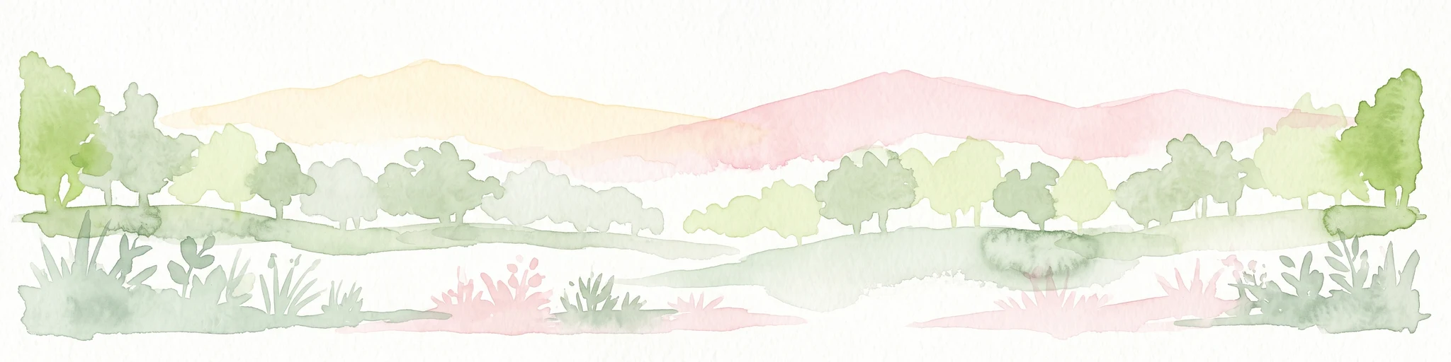
A watercolor illustration showing a soft, panoramic view of green trees and rolling hills against pale, pinkish-yellow mountains in the background.
Protected landscapeCalifornia
Park boundaries overlap#2 closest

South

Mendocino National Forest: Mapping California's Remote Protected Mountain Landscape

Examining wilderness boundaries and rugged coastal terrain

Mendocino National Forest serves as a significant protected area in California, known for being the only national forest in the state without major paved access. Its terrain spans 913,000 acres of mountain peaks, deep river canyons, and old-growth conifer forests. Home to the unique tule elk population at Lake Pillsbury, this landscape provides a rare example of wilderness isolation, complex geothermal features, and rugged, largely untouched northern coastal topography.

Area
3,696.02 km²
Established
1907
Relief
Mountain
Climate
Mediterranean
Protected landscapeCalifornia
Park boundaries overlap#3 closest

Northeast

Modoc National Forest: Protected Landscape and Warner Mountains Geography

High desert volcanic terrain in northeastern California

Modoc National Forest encompasses a massive expanse of volcanic plateaus and rugged mountain ridges in the northeastern corner of California. This protected area offers significant geographic variety, transitioning from arid sagebrush basins to lush, high-elevation conifer forests. It serves as a vital natural landscape, home to the South Warner Wilderness and large stands of old-growth timber, reflecting the unique geologic history of the regional lava flows.

Area
6,695.09 km²
Established
1904
Relief
Mountain
Access
Moderate access
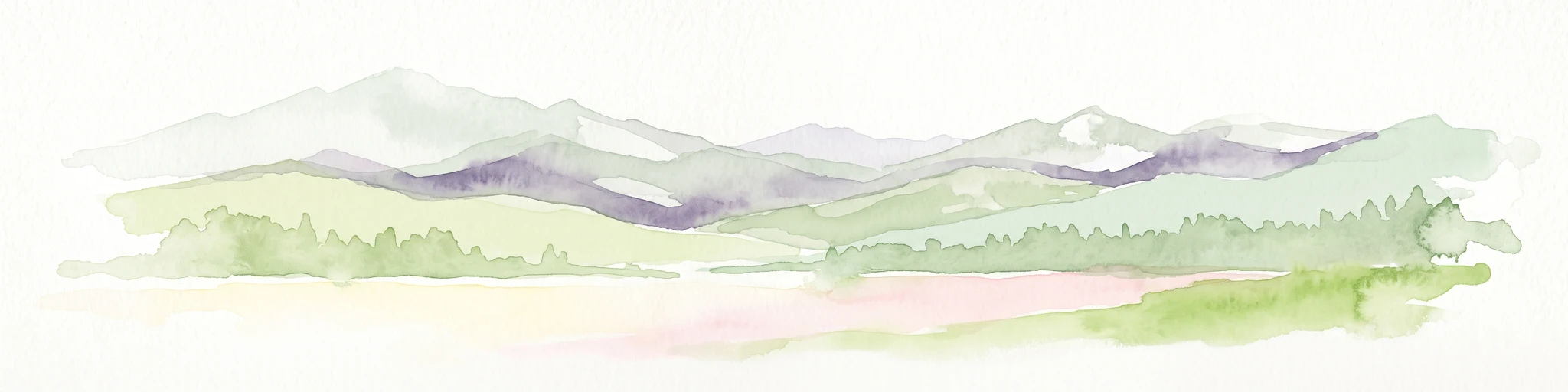
A soft watercolor illustration depicting a series of distant mountain ranges behind a line of evergreen trees against a white background.
Wildlife reserveCalifornia
Park boundaries overlap#4 closest

Northeast

Mount Shasta Wilderness: A Geographic Profile of California Volcanic and Alpine Landscapes

Mapping protected volcanic peaks and glacial ecosystems

Deeply explore the protected geography of Mount Shasta Wilderness, a 38,200-acre reserve in Northern California. This record details the park's stratovolcano foundations, glacial terrain, and forested corridors, offering a clear view of the complex landforms and boundary systems that define this significant high-elevation protected area.

Area
155 km²
Established
1984
IUCN
Ib
Relief
Mountain
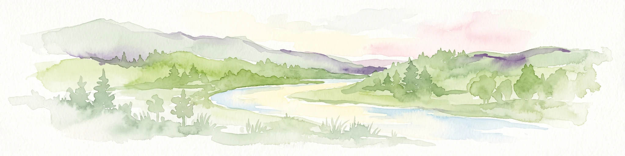
Watercolor painting of a peaceful river landscape, featuring rolling green hills, dense trees, and distant soft-toned mountains.
Protected areaCalifornia
Park boundaries overlap#5 closest

Northwest

Six Rivers National Forest: Exploring Protected River Valleys and Mountain Terrain in California

A regional protected area spanning California river systems

Six Rivers National Forest defines much of the rugged landscape in northwestern California. Named for the six major river drainages within its borders, the area features a unique combination of coastal forests, deep river canyons, and high-country ridges that offer significant insight into the region's broader geographic and ecological character.

Area
3,875.2 km²
Established
1947
Relief
Mountain
Climate
Mediterranean
Protected landscapeCalifornia
5.1 km away#6 closest

East

Whiskeytown, Shasta, Trinity National Recreation Area: Geographic and Protected Landscape Overview

Mapped terrain across northern California reservoir units

Investigate the environmental character of Whiskeytown, Shasta, Trinity National Recreation Area, spanning from the expansive waters of Shasta Lake to the forested ridges of the Whiskeytown unit. This atlas entry details the interplay between large-scale reservoir management, riparian habitats, and the transition from Mediterranean chaparral to high-elevation conifer forests in California.

Area
99,588 km²
Established
1965
IUCN
V
Visitors
1.5M annual
Protected landscapeCalifornia
19 km away#7 closest

North

Marble Mountain Wilderness: Exploring Protected Mountain Landscapes in Northern California

Klamath Mountains Wilderness and Alpine Geography

Spanning hundreds of thousands of acres, Marble Mountain Wilderness offers a dense concentration of subalpine fir, deep glacial lakes, and steep drainage basins. This northern California protected landscape provides an atlas of rugged ridges and marble-toned peaks that represent one of the most ecologically diverse backcountry areas in the region.

Area
978.3 km²
Established
1964
IUCN
Ib
Relief
Mountain
National parkCalifornia
32 km away#8 closest

Northwest

Redwood National and State Parks: Protected Landscape Geography and Mapped Boundaries

Explore California's protected area atlas.

Gain a structured understanding of Redwood National and State Parks as a protected national park within the geographic context of California. This dedicated page focuses on its mapped boundaries and protected landscape identity, offering critical atlas-level insights for regional geography exploration and conservation land context. Discover how this protected area fits into the larger mapped terrain.

Area
562.88 km²
Established
1968
IUCN
V
Visitors
458.4K annual

Common questions about visiting, size, designation, and location context for Shasta, Trinity National Forest

Shasta, Trinity National Forest FAQs for park facts, access, geography, and protected area context

Find quick answers about Shasta, Trinity National Forest, including protected-area facts, park geography, trail and visitor context, and how the park fits into its surrounding country and regional landscape.
MoriAtlas Explorer

Continue Your Protected Areas Search Across the Global Atlas

Deepen your exploration by continuing the structured search for national parks and protected areas worldwide. Utilize the comprehensive filtering capabilities to compare different conservation landscapes and refine your understanding of global park geography. Discover more about the distribution and characteristics of protected natural areas.

Global natural geography