
Steep rock faces across the High and Western Tatra landscapes
Named cliffs associated with Tatrzański Park Narodowy's high alpine relief
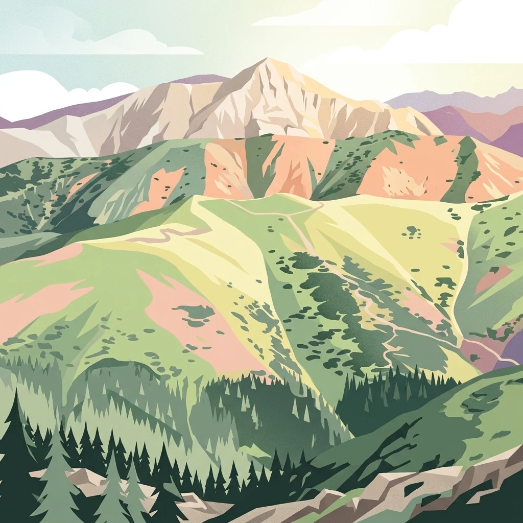
Explore named cliffs associated with Tatrzański Park Narodowy in southern Poland and interpret their steep faces within the Tatras' only Alpine-style landscape in the country. Granite highlands, limestone and dolomite crags, glacial basins, forest zones, and open ridges create varied cliff settings, but each feature has its own rock, height, orientation, and access context. MoriAtlas makes no climbing, stability, or route-safety claims.
Find Cliff records throughout Tatrzański Park Narodowy
Cliff geography across the crags of Tatrzański Park Narodowy
Cliff records in Tatrzański Park Narodowy include Brama Kantaka, Brama Kraszewskiego, Dudowe Turnie, Dudziniec, and Jarcowa Skałka within crystalline and carbonate mountain relief. Explore these named faces and formations without assuming climbing access, route safety, rock stability, dimensions, exposure, open views, or current conditions.
No natural features found
Compare connected mountain landscapes and regional protected areas
Other Parks and Protected Areas Near Tatrzański Park Narodowy
Cliff Formations and Steep Vertical Rock Faces Found in Tatra National Park
Examine the distribution of cliff faces within Tatra National Park. This record focuses on the steep-walled geological features that create abrupt transitions in the alpine landscape, offering a grounded perspective on the structural diversity of the Tatra mountain range.
Cliff Landscapes and Vertical Rock Formations throughout the Peak District National Park
Examine the distribution and physical characteristics of cliffs located within the Peak District. This collection maps individual rock faces to provide a spatial perspective on the park's geological foundation, covering both the gritstone edges and limestone gorges through a structured geographic lens.
Cliff Collections: Structural Rock Features of Danube-Ipoly National Park
The volcanic and carbonate mountains of Danube-Ipoly National Park contain various named cliff formations that define the park’s rugged topography. Access this inventory to review the position and physical characteristics of these steep rock exposures as they relate to the broader karst and volcanic systems of the region.
Bükk National Park Cliff Atlas: Geological Map and Documented Natural Formations
Examine the distribution and physical characteristics of named limestone cliffs across Bükk National Park. This geographic overview highlights the structural role of these steep rock faces within the karst plateau and mountain landscape, providing a clear perspective on the park's diverse geological composition.
Geographic Collection of Named Cliff Formations found in Harz National Park
This collection focuses on the granite cliff features distributed throughout the Harz National Park. By documenting these steep rock faces, the atlas highlights the connection between isolated geological outcrops and the surrounding mountain environment of Germany.
Named Cliff Formations and Caldera Wall Features of Crater Lake National Park
Examine the distribution and physical characteristics of cliffs located within the caldera of Crater Lake National Park. These features illustrate the vertical scale and volcanic history of the Cascade Range setting, providing insight into the composition and dramatic relief of the caldera rim and surrounding high-altitude terrain.
Cliff Landscapes and Vertical Rock Formations of Đerdap National Park in Northeastern Serbia
Investigate the presence of cliffs within Đerdap National Park, focusing on their structural characteristics and spatial relationship to the Danube river gorge. This documentation provides a mapped overview of vertical rock faces that delineate the dramatic karst landscape between Golubac and the Iron Gate dam, offering a clearer understanding of the park's rugged geological composition and elevated terrain features.
Map named cliff faces associated with Dzūkija National Park's protected terrain
Compare named cliff records connected with Dzūkija National Park and distinguish each exposed face from the park's broader terrain. The atlas avoids assigning a coastal, river, glacial, fault, or other origin without evidence and does not assume that every associated cliff lies wholly inside the boundary.
Explore Tatrzański Park Narodowy beyond Cliff geography
Beyond Cliff faces and gates in Tatrzański Park Narodowy
High mountain summits and ridge systems in Poland
Peaks
Access a structured inventory of named peaks found within the boundaries of Tatrzański Park Narodowy. The resource maps individual summits across the High and Western Tatras, providing data on elevation and topographic position within the broader Polish mountain landscape.
Topographic analysis of alpine ridge gaps
Mountain saddles
Analyze the named saddles that interrupt the dramatic ridgelines of Tatrzański Park Narodowy. These landforms represent significant topographic low points between higher summits, characterizing the alpine relief of the Polish Tatra mountains.
Protected mountain terrain and valley systems
Valleys
Examine the structural valley systems preserved within Tatrzański Park Narodowy. These elongated geographic formations represent the intersection of glacial erosion and mountain drainage, providing essential context for the complex relief of the Polish Tatra range.
Karst terrain mapping in the Tatra Mountains
Cave entrances
Access a structured inventory of cave entrance locations identified within the boundaries of Tatrzański Park Narodowy. Each entry highlights surface-level openings that connect to the wider karst and geological system, offering a clear perspective on the physical geography of this significant Polish alpine landscape.
Tracing the high ground and crests within the Polish Tatras
Ridges
Explore the named ridges located within Tatrzański Park Narodowy, featuring landforms that act as dividers between mountain slopes and glacial valleys. This collection provides clear mapping of the high-ground terrain that characterizes the park, offering a closer look at the elongated crests defining the alpine landscape in Poland.
Polish Tatra stream geography
Streams
Explore named stream records connected with Tatrzański Park Narodowy and place smaller channels within the park's steep elevation sequence from bare summits to montane forest. The collection does not guess lake outflow, underground connections, seasonal discharge, water quality, crossing safety, public access, or exact protected-area coverage.
Mapped water features and alpine basin distribution.
Lakes
Tatrzański Park Narodowy features a dense network of high-altitude lakes nestled within deep cirques and carved mountain valleys. This atlas-focused collection highlights the geographic placement and landscape context of these natural basins, providing a structured look at the water bodies that characterize the Polish Tatra mountain ecosystem.
Hydrological features within the Tatra mountain range.
Natural springs
This geographic collection tracks the distribution of natural spring outlets across the diverse elevation zones of Tatrzański Park Narodowy. From high glacial cirques to forested mountain slopes, each spring serves as a vital point of water emergence, offering insights into the complex fractured rock architecture and alpine hydrology characterizing the Polish Tatra protected landscape.
Alpine river cascades and mountain stream features.
Waterfalls
Examine the catalog of named waterfalls situated within Tatrzański Park Narodowy. This resource maps the physical placement of cascading water features across the high-elevation valleys and mountain reaches of the Polish Tatra, providing context on their roles within the park's hydrologic and geologic framework.
Structural geography and high-mountain terrain analysis
Mountain ranges
Analyze the mountain range features that define the physical identity of Tatrzański Park Narodowy. The collection examines how specific ridges, massifs, and highland basins contribute to the unique vertical zonation and tectonic history of this protected alpine region.
Mapping watercourses in the high Tatra Mountains
Rivers
This collection identifies the rivers and natural watercourses associated with the topography of Tatrzański Park Narodowy. These water bodies reflect the complex drainage of a high mountain alpine range, illustrating the transition from glacial cirques and steep valleys to the lower forested slopes that characterize the region.
Geographic analysis of alpine mountain basins
Ponds
Explore the identified ponds located throughout the rugged slopes and high valleys of Tatrzański Park Narodowy. Each entry highlights the specific landscape context, basin characteristics, and regional positioning of these water bodies within the Polish portion of the Tatra mountain range.
Hydrological terrain and water-saturated area atlas
Wetlands
Examine the specific wetland sites documented across the mountainous relief of Tatrzański Park Narodowy. This collection details the hydrological setting and physical characteristics of marshes, bogs, and saturated meadows found throughout this alpine protected region.
Geographic atlas of alpine erosional features in Poland.
Glaciers
Explore the geological influence of persistent ice in Tatrzański Park Narodowy. This collection maps the glacial features that carved the iconic cirques and valleys of the Polish Tatra Mountains, providing a clear look at the erosional forces that continue to shape this alpine protected landscape.
Atlas of mountain rock features
Rock formations
Browse the categorized collection of named rock outcrops, blocks, and isolated geological features associated with the diverse alpine terrain of Tatrzański Park Narodowy. These records offer geographic insights into the distribution of rocky formations that define the park high-mountain ridges and glacial landscapes.
Atlas of discrete stone and block formations
Named stones
Review a curated list of individual stone landmarks and boulders situated within the protected landscape of Tatrzański Park Narodowy. This index highlights discrete rock-based features, detailing their specific identities and positions within the complex crystalline and karst mountain geography of Poland.
Browse the Full Geography of Tatrzański Park Narodowy Natural Features
Continue your study of the Tatra mountain terrain by browsing this structured dataset of natural landforms, glacial basins, and summits. MoriAtlas provides a clear geographic view of the features that define the ecology and geology of this significant protected landscape.