Mori Atlas logo
Protected landscapeWeingartener Wiesental

Understanding the historic irrigation heritage and valley floor geography of this southwestern German protected area.

Weingartener Wiesental Protected Landscape: Mapped Geography and Meadow Valley Terrain

(Landschaftsschutzgebiet 'Weingartener Wiesental')

The Weingartener Wiesental represents a significant protected landscape within the Kinzig-Murg-Rinne corridor of Baden-Württemberg, Germany. This meadow valley is defined by its flat terrain, historical water meadow irrigation networks, and expansive grassland habitats. By tracing the ancient river paths and analyzing the valley floor composition, one can better understand the regional geography and conservation importance of this unique meadow corridor.

meadow valleyprotected landscapeWässerwiesengrassland habitatKinzig-Murg-RinneHardtebenen

Weingartener Wiesental

Protected landscape

Park overview

Structured park overview, official facts, and landscape profile for Weingartener Wiesental

Weingartener Wiesental park facts, protected area profile, and essential visitor context

Review the core facts for Weingartener Wiesental, including designation, size, terrain, visitor scale, habitats, and operating context in one park-focused overview.

About Weingartener Wiesental

The Weingartener Wiesental sits at the western edge of the municipality of Weingarten (Baden), within the broader Karlsruhe district of northern Baden-Württemberg. Geographically, the valley forms part of the Kinzig-Murg-Rinne, a long, flat lowland corridor that represents an old drainage route between the Kinzig and Murg river systems. Although the original natural drainage has long since been altered, the broad valley form still shapes the local topography and creates the moist, open conditions that have historically supported extensive meadowland use.

Natural-region classification places the area within the Hardtebenen, a sub-region known for its gently undulating terrain formed by sandy and gravelly deposits left by ancient river activity. The protected area itself is divided by the modern A5 motorway, which cuts across the valley and separates it into two sections, yet the meadow character and the associated irrigation heritage remain the unifying features of the landscape.

The Weingartener Wiesental is designated as a Landschaftsschutzgebiet, a category of protected landscape in Germany that focuses on preserving the cultural and visual qualities of a region along with its ecological values. The valley is recognized not only for its meadows and relict irrigation infrastructure but also for its role as a local recreation area for Weingarten and as a buffer zone protecting the more sensitive Weingartener Moor nature reserve to the south.

Quick facts and research context for Weingartener Wiesental

Protected as a Landschaftsschutzgebiet on 9 May 1991 (with the area formally inscribed on 9 September 1991) by the administrative office of Karlsruhe district, the Weingartener Wiesental spans about 110.9 hectares in the Hardtebenen natural region, west of Weingarten. It is crossed by the A5 motorway, which divides the area into two sections, and borders the Bruchwaldgebiet der alten Kinzig-Murg-Rinne and the Weingartener Moor-Bruchwald Grötzingen nature reserve, forming part of a connected network of protected valley and wetland habitats in the region.

Protection and recognition

Documented terrestrial protection scope, designation history, and administrative records

Weingartener Wiesental Protection Status and International Recognition Data

Weingartener Wiesental maintains a documented terrestrial protection scope within global conservation databases. Official records outline the registered protection status, management parameters, and designated geographical boundaries.

Protection details

Protection scope
Terrestrial
Transboundary protection
No
WDPA ID
325737
Park context

Deeper park guide and search-rich context for Weingartener Wiesental

Weingartener Wiesental history, landscape, wildlife, and travel context

Explore Weingartener Wiesental through its history, landscape character, ecosystems, wildlife, conservation priorities, cultural context, and seasonal travel timing in a structured park guide built for atlas discovery and search intent.

Why Weingartener Wiesental stands out

The Weingartener Wiesental is best known for its extensive network of historical meadow irrigation features. The valley was once managed as Wässerwiesen, or water meadows, fed by small channels and aqueducts that diverted water across the grassland. Numerous relicts of this traditional irrigation system, including ditches, overflows, and a small aqueduct, still survive in the landscape. Together with the surrounding meadows, individual trees, and ditch-side riparian vegetation, they give the valley a distinctive cultural and ecological character that is rarely preserved at this scale in the region.
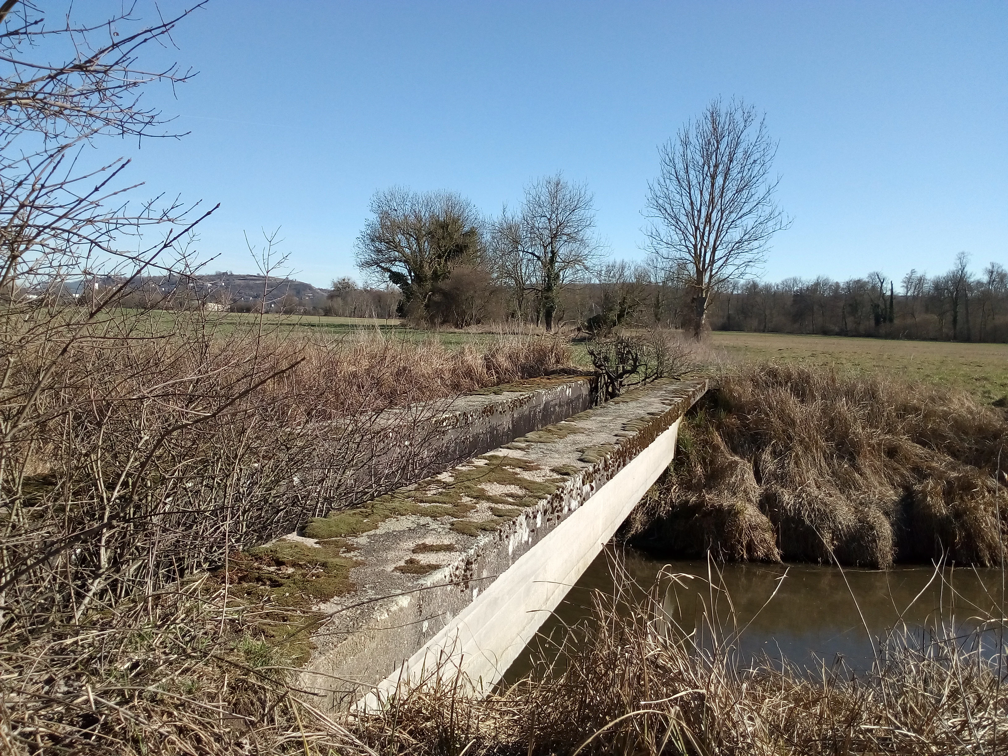
A weathered, moss-covered concrete aqueduct bridge crossing a small stream in a meadow landscape under a clear blue sky.
A disused concrete aqueduct, part of the historical irrigation system in the Weingartener Wiesental.

Weingartener Wiesental history and protected-area timeline

The modern protected status of the Weingartener Wiesental dates back to the early 1990s. The Karlsruhe district office (Landratsamt Karlsruhe) issued a protective ordinance that established the area as a Landschaftsschutzgebiet on 9 May 1991, with the formal establishment date recorded as 9 September 1991. This designation placed the valley under landscape protection in order to preserve its meadow landscape, historic irrigation features, and ecological function.

The cultural history of the valley, however, goes back much further. For generations, the valley floor was managed as Wässerwiesen, traditional water meadows that were deliberately irrigated by channels distributing water across the grassland to improve hay yield and soil quality. The infrastructure built up around this practice, including ditches, aqueducts, and overflow works, became a defining element of the landscape. Although active meadow irrigation has largely ceased, the structural remnants of this practice remain as one of the valley's most distinctive features.

At a broader scale, the valley itself represents an old course of the Kinzig-Murg-Rinne, an ancient drainage line in the northern Upper Rhine Plain region. The current protection of the Weingartener Wiesental reflects a wider regional effort to preserve connected valley, meadow, and wetland habitats along this corridor, linking it to neighboring protected areas such as the Bruchwaldgebiet der alten Kinzig-Murg-Rinne and the Weingartener Moor-Bruchwald Grötzingen nature reserve.

Weingartener Wiesental landscape and geographic character

The landscape of the Weingartener Wiesental is defined by a broad, flat valley floor set within the broader Kinzig-Murg-Rinne corridor. Rather than a dramatic gorge or steep-sided river valley, it is an open, gently sloping meadow landscape characteristic of the Hardtebenen natural region. The ground is shaped by sandy and gravelly deposits associated with the ancient flow paths of the Kinzig and Murg river systems, and the relatively level terrain has historically supported extensive grassland use rather than arable farming in the valley bottom.

Weingartener Wiesental ecosystems, habitats, and plant life

Ecologically, the valley combines open grassland with smaller woodland patches and strip-like vegetation features along old irrigation channels. The meadows are the core habitat element, supporting meadow-breeding birds and other species that depend on open, moist grassland conditions. Individual trees and shrub groups scattered across the meadows, together with riparian woodland along the ditches, add structural diversity and create edges between habitat types.

Weingartener Wiesental wildlife and species highlights

The meadow landscape of the Weingartener Wiesental is recognized in its protection ordinance as habitat particularly for Wiesenbrüter, the group of bird species that nest and feed in open grassland. The combination of moist meadows, scattered trees, and ditch-side vegetation provides a range of nesting and foraging conditions for typical lowland meadow and wetland-associated birdlife in the region.

Weingartener Wiesental conservation status and protection priorities

From a conservation perspective, the Weingartener Wiesental serves several overlapping roles. It preserves a relatively large, now-rare meadow valley that retains relict features of traditional Wässerwiesen management, including ditches, overflows, and a small aqueduct. The valley also functions as a buffer zone for the adjacent Weingartener Moor nature reserve, helping to protect it from further emissions and changes in groundwater conditions. In the northern part, the protected area overlaps to a small extent with the FFH area Kinzig-Murg-Rinne und Kraichgau bei Bruchsal, connecting it to the European network of protected habitats.

Weingartener Wiesental cultural meaning and human context

The valley carries strong cultural-historical value as a former Wässerwiesen landscape. The water-meadow tradition shaped both the physical structure of the valley, through its network of irrigation channels and small hydraulic structures, and its visual character as an open, maintained meadow landscape. While the active irrigation practice has ended, the surviving channels, aqueduct relics, and the open meadow pattern still reflect this long-standing relationship between local communities and the valley's natural conditions.

Top sights and standout views in Weingartener Wiesental

Among the valley's main distinguishing features are its historical meadow irrigation system, with visible ditches and a small aqueduct, its broad open meadow valley within the Kinzig-Murg-Rinne, and its position within a connected green corridor that links to neighboring protected wetland and forest areas. It also combines ecological protection, groundwater buffering for the nearby moor reserve, and local recreation function for the town of Weingarten.

Best time to visit Weingartener Wiesental

As a meadow-dominated landscape with open views, ditch-side vegetation, and accessible paths, the valley is generally most expressive in late spring and early summer, when grassland vegetation is at its peak and meadow-breeding birds are active. Late spring typically offers the richest blend of green meadow color, flowing water in the old irrigation channels, and bird presence. Outside this window, the area remains a quiet protected landscape, but the meadow's visual and ecological character is more subdued in the colder months.

Monthly climate preview

Long-term representative point measurements tracking monthly averages across the year.

Weingartener Wiesental Climate Normals and Annual Temperature Rhythm

Weingartener Wiesental exhibits measured monthly temperature swings from sub-zero winter lows to warm summer maximums alongside consistent year-round precipitation rates. Examining the full twelve-month climate profile reveals complete statistical breakdowns for temperature and rainfall patterns at a representative elevation.
Annual mean9 °C
0 °C20 °C
Jan
Feb
Mar
Apr
May13°
Jun17°
Jul20°
Aug19°
Sep15°
Oct10°
Nov
Dec
Warmest month
July

19.6 °C

Coolest month
January

-0 °C

Wettest month
May

2.7 mm/day

Driest month
April

1.7 mm/day

Park location guide

Geography guide, regional context, and park location map for Weingartener Wiesental

Weingartener Wiesental park geography, regions, and map view in Germany

Understand where Weingartener Wiesental sits in Germany through a broader geographic reading of the surrounding landscape, nearby location context, and its mapped position within the national park landscape.

How Weingartener Wiesental fits into Germany

Germany is a federal republic in Western and Central Europe with a population of over 83 million across sixteen constituent states. It is Europe's largest economy by nominal GDP and a major global exporter and importer. The capital is Berlin, and the country borders Denmark, Poland, Czech Republic, Austria, Switzerland, France, Luxembourg, Belgium, and the Netherlands.

Wider geography shaping Weingartener Wiesental in Germany

Germany is located in Western and Central Europe, spanning 357,022 km². It borders Denmark to the north, Poland and the Czech Republic to the east, Austria and Switzerland to the south, and France, Luxembourg, Belgium, and the Netherlands to the west. The country has coastlines on the Baltic Sea and North Sea to the north, with the Alps located in the southern region.

Map view of Weingartener Wiesental

Use this park location map to pinpoint Weingartener Wiesental in Germany, understand its exact geographic position, and read its mapped placement within the surrounding landscape more clearly.

Pigeon | © OpenStreetMap contributors

Location context for Weingartener Wiesental

Baden-Württemberg

Protected landscape views, meadow habitats, and traditional irrigation heritage across the valley.

Weingartener Wiesental Photos and Landscape Scenery Visual Guide

Visual documentation captures the broad open grassland, historical water channels, and riparian woodland characterizing the protected meadow valley. Examining these landscape photographs reveals the unique terrain, ecological structure, and conservation environment preserved throughout the Kinzig-Murg-Rinne corridor.

A weathered, moss-covered concrete aqueduct bridge crossing a small stream in a meadow landscape under a clear blue sky.

Park atlas

Compare adjacent meadow valleys and protected landscapes across the surrounding region

Explore Protected Areas and Parks Near Weingartener Wiesental for Regional Comparison

Browsing other protected areas near Weingartener Wiesental reveals connected lowland corridors, river valley ecosystems, and traditional agricultural waterways across Baden-Württemberg. Expanding the regional park comparison provides deeper context into the broader geography and conservation networks of the Hardtebenen natural region.
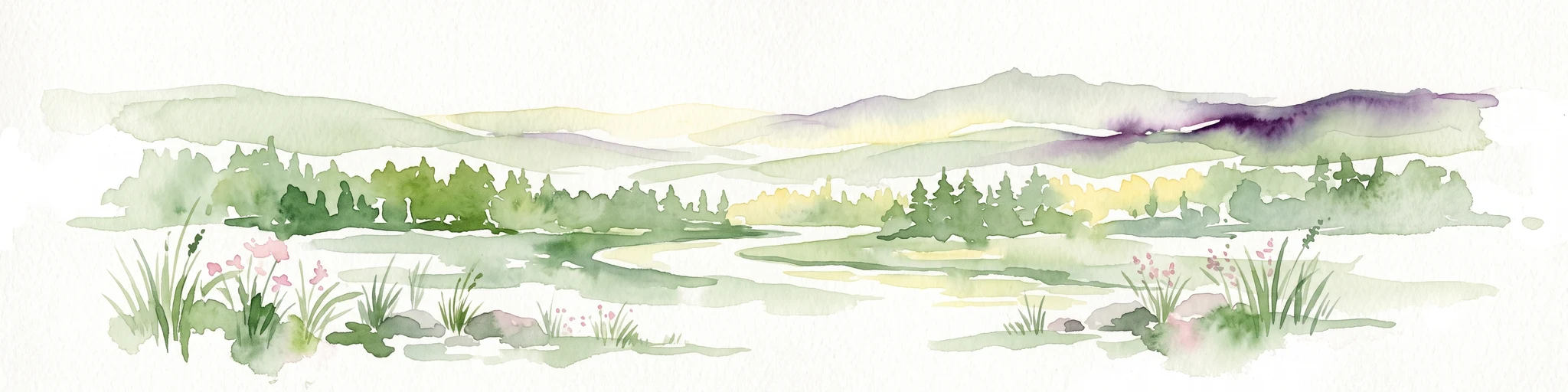
A watercolor landscape illustration showing a gently winding water feature through low-lying marshy vegetation with distant rolling hills.
Protected landscapeBaden-Württemberg
About 2 km away#1 closest

Southwest

Füllbruch-Vokkenau Protected Landscape: Geographic Profile and Regional Map Context

Wetland mosaic and flood-retention geography in Baden-Württemberg

This protected landscape in Karlsruhe encompasses a distinct lowland floodplain forest, merging traditional orchard meadows with structured wet woodland terrain. The area is defined by its role in regional flood management for the Pfinz river, creating a unique intersection of protected natural habitat and active hydraulic infrastructure within the historical Kinzig-Murg lowland channel.

Area
4.313 km²
Established
1988
IUCN
V
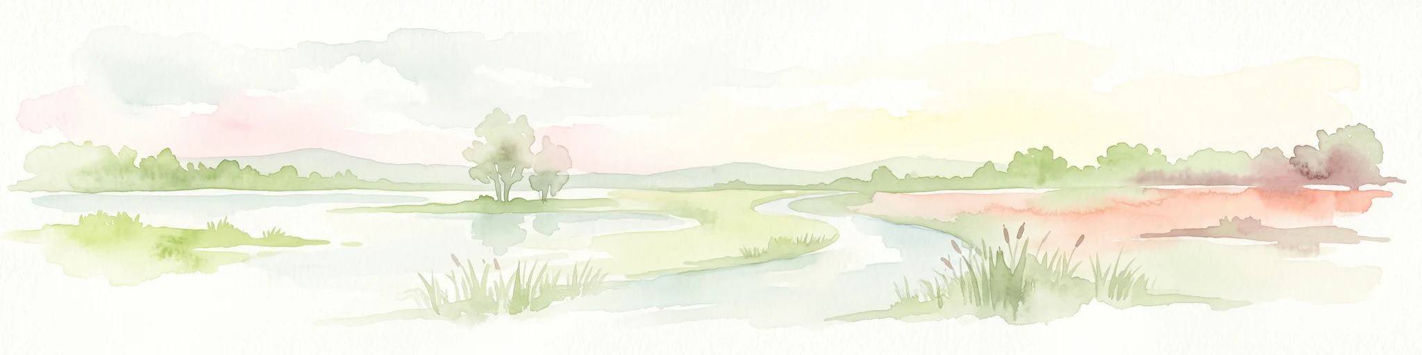
A watercolor illustration of a soft, rolling landscape featuring distant hills, forested midground, and a central winding meadow or stream area with wildflowers in the foreground.
Protected landscapeBaden-Württemberg
About 7.7 km away#2 closest

Southeast

Pfinzgau Protected Landscape: Mapping the Cultural Terrain of the Kraichgau Region

A structured geographic overview of the Pfinz valley landscapes.

Pfinzgau preserves a mosaic of woodlands, meadows, and orchards in the Karlsruhe district of Baden-Württemberg. This protected landscape functions as a green corridor within the Kraichgau, featuring near-natural forests, ancient field hedges, and stream corridors that define the regional relief. Study the mapped boundaries and natural terrain of this significant conservation area as it navigates the transition between the Black Forest and the Odenwald.

Area
21.496 km²
Established
1991
IUCN
V
Relief
Upland
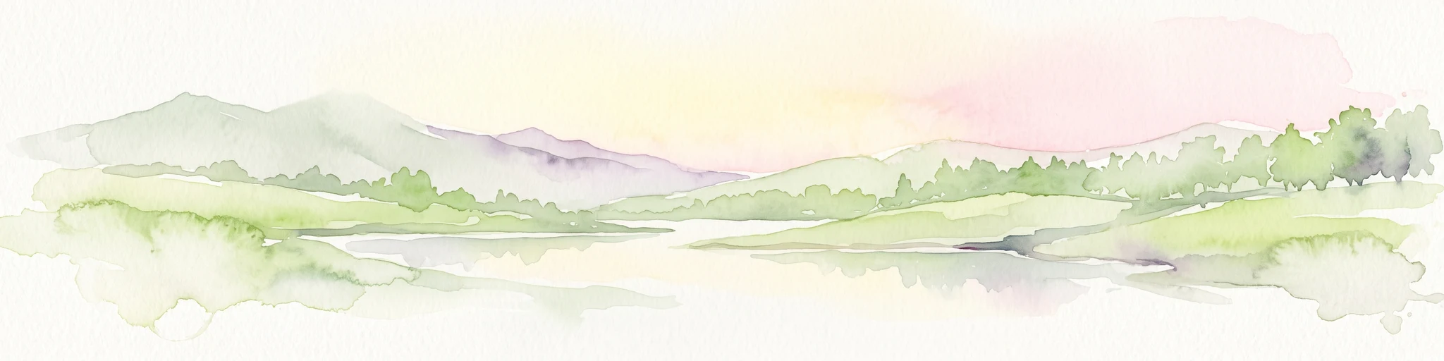
Watercolor painting of a tranquil wetland landscape with soft green vegetation and a calm water body, reflecting the floodplain environment of the Rhine river.
Nature reserveLandkreis Germersheim
About 11 km away#3 closest

Northwest

Hördter Rheinaue Nature Reserve: Landscape and Geographic Context in Landkreis Germersheim

Examining the hydrology and floodplain forest of the German Rhine.

Hördter Rheinaue serves as a critical node in the Palatinate Rhine floodplains, preserving a vast mosaic of willow and poplar forests alongside stable hardwood stands. Analyze the mapped terrain shaped by centuries of river activity, including the meandering Michelsbach and associated oxbow systems that define this essential protected corridor in western Germany.

Area
8.18 km²
Established
1966
IUCN
IV
Relief
Lowland
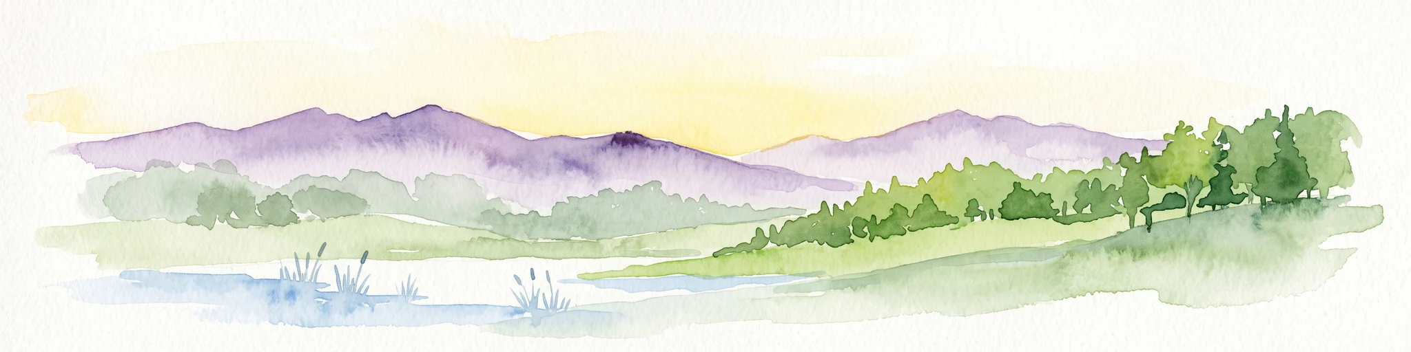
A soft, light watercolor painting of a wetland scene with a winding river branch, reeds, and low-lying greenery under a hazy sky.
Nature reserveRheinland-Pfalz
About 12 km away#4 closest

Northwest

Neupotzer Altrhein Nature Reserve: A Detailed Map and Geographic Overview

Protected floodplain landscape in the Rheinland-Pfalz region.

The Neupotzer Altrhein reserve stands as a prominent example of Rhine floodplain recovery, featuring a diverse topography of slow-moving water channels, marshes, and softwood alluvial forests. Located in the Rheinland-Pfalz district of Germersheim, this protected area offers significant insight into the historical and natural shifts of the Rhine corridor, serving as a key refuge within the European Natura 2000 network.

Area
2.375 km²
Established
2000
IUCN
IV
Relief
Lowland
Protected landscapeBaden-Württemberg
About 12 km away#5 closest

Southeast

Wössinger Waldwiesen: A Protected Landscape in the Kraichgau Region of Baden-Württemberg

Mapped valley meadows and stream corridor geography

Wössinger Waldwiesen is a compact protected landscape located in the Baden-Württemberg region of Germany. The area provides a significant example of Kraichgau valley geography, blending orchard meadows with the headwaters of the Walzbach stream. This protected territory focuses on maintaining diverse meadow habitats and transitioning former conifer stands into structured, native broadleaf forest ecosystems.

Area
0.056 km²
Established
1988
IUCN
V
Relief
Upland
Soft watercolor painting of an oxbow lake landscape with green riverbanks, trees, and distant rolling hills against a pale sky.
Nature reserveRhineland-Palatinate
About 13 km away#6 closest

Northwest

Leimersheimer Altrhein Nature Reserve: Mapped Geography and Protected Area Context

A preserved Rhine oxbow ecosystem in Rhineland-Palatinate

Leimersheimer Altrhein represents a rare, enduring fragment of the historical Rhine floodplain. This site hosts vital waterbird populations within an enclosed water landscape, providing essential habitat connectivity in a heavily regulated river region. Gain insights into the specific terrain, boundary configurations, and riparian mosaic that define this protected nature reserve.

Area
15 km²
Established
2004
IUCN
IV
A watercolor painting showing a soft, atmospheric landscape with a foreground of water and green grasses, a midground of trees, and purple mountains in the background under a pale yellow sky.
Nature reserveRhineland-Palatinate
About 14 km away#7 closest

West

Rheinniederung Neuburg-Wörth: A Protected Floodplain Landscape in Rhineland-Palatinate

An analysis of river meanders, oxbows, and floodplain forest geography

This nature reserve encompasses a 14.5 square kilometer corridor of the Upper Rhine, featuring a distinct topography of hardwood forests, wet meadows, and aquatic habitats. The site remains a focal point for understanding Rhine river dynamics and the conservation of rare floodplain ecosystems like the Wörther Altrhein.

Area
14.48 km²
Established
2004
Relief
Lowland
Climate
Temperate
Nature reserveRheinland-Pfalz
About 15 km away#8 closest

West

Wörther Altrhein Nature Reserve: Protected Wetland Atlas and Upper Rhine Landscape Context

Mapped conservation zones within the Rheinland-Pfalz floodplain

Investigate the protected landscape of Wörther Altrhein, an ecologically important former Rhine channel. This site offers a unique study in wetland geography, where controlled hydrology supports diverse reedbeds and alluvial forest habitats within the industrial backdrop of the southern Upper Rhine.

Area
2.4 km²
Established
2004
IUCN
IV
Relief
Lowland

Common questions about visiting, size, designation, and location context for Weingartener Wiesental

Weingartener Wiesental FAQs for park facts, access, geography, and protected area context

Find quick answers about Weingartener Wiesental, including protected-area facts, park geography, trail and visitor context, and how the park fits into its surrounding country and regional landscape.
MoriAtlas Explorer

Continue Your Protected Areas Search Across the Global Atlas

Deepen your exploration by continuing the structured search for national parks and protected areas worldwide. Utilize the comprehensive filtering capabilities to compare different conservation landscapes and refine your understanding of global park geography. Discover more about the distribution and characteristics of protected natural areas.

Global natural geography