
Mori Atlas logo
Countries

Navigate the landscape context and natural boundaries of protected terrains in Aruba.

National Parks and Protected Areas in Aruba: Geographic Atlas and Map-Based Exploration

Explore the structured geography of Aruba, focusing on the distribution and landscape context of its protected natural areas. This database provides a comprehensive look at how national parks and marine protected zones define the physical terrain of the island. Gain insight into the varied environments, from limestone plateaus to marine ecosystems, through clear spatial representations and data-focused land analysis.

Related tags

constituent countrycaribbean islanddutch caribbeanabc islandsisland nation
Park system

Aruba Park System Data Profile: Protected Area Extent and Regional Characteristics

Analyze protected-area scale, historical designation milestones, and arid habitat distributions across Aruba.

Examine calculated totals for protected land extent, median park scale, and chronological establishment patterns across current atlas records. Compare designation categories and habitat distributions to evaluate environmental conservation trends throughout the island.

Known protected area

92.2 km²

Area data available for 2 of 2 parks.

Median park size

46.1 km²

Median across 2 parks with known area.

Oldest known park

Established in 2000.

Largest known park

Recorded area: 60.2 km².

Designation distribution

Marine protected area1
National park1

Habitat distribution

Coastal habitat2
Marine habitat2
Desert habitat1
Dune habitat1
Shrubland1

Climate distribution

Arid1
Tropical1
About

Explore mapped protected landscapes and regional conservation zones across Aruba

National Parks and Protected Areas in Aruba: A Geographic Atlas

Aruba offers distinct geographic terrain spanning arid inland limestone plateaus and surrounding southern Caribbean marine protected zones. Systematic atlas navigation connects visitors directly to verified national parks and coastal conservation regions throughout the island.

Aruba is a Caribbean island country and constituent realm of the Kingdom of the Netherlands, located in the southern Caribbean Sea near the Venezuelan coast. It gained country status within the Kingdom in 1986 and is part of the ABC islands alongside Bonaire and Curaçao. The island features a dry, arid climate contrasting with typical humid tropical Caribbean conditions, and operates as a parliamentary democracy under a constitutional monarchy with Dutch citizenship.

Largest city:Oranjestad
Currency code:AWG
ISO code:AW
Parks count
2
Capital
Oranjestad
Area
180 km²
Population
108,880 (2,025)
Elevation
188 m

Coastal
Island
Mountainous
Landlocked
Park atlas2 parks

Trace protected landscapes and coastal reserves across the southern Caribbean island.

National Parks in Aruba: Complete Protected Area List and Island Geography

Browse official protected areas in Aruba, ranging from arid interior wilderness to marine conservation zones and coral reef habitats. Regional geography routing allows travelers to examine distinct island terrain, limestone plateaus, and coastal habitats.
A watercolor painting showing a wide, panoramic view of rolling green hills, distant mountains in shades of pink and muted green, and clusters of evergreen trees against a white background.
National parkAruba

Arikok National Park: Mapping the Protected Landscapes and Geological Features of Northern Aruba

Exploring the terrain, coastal cliffs, and cultural heritage of Aruba's premier reserve.

Spanning over 7,000 acres, Arikok National Park forms the core of Aruba's conservation landscape. The park showcases a complex geological story, from the ancient volcanic Aruba Lava Formation and Batholith to the younger, porous limestone plateaus of the south. This protected zone provides a vital refuge for endemic species such as the Aruban rattlesnake and burrowing owl, while preserving layered cultural remnants from Arawak petroglyphs to early gold mining ruins.

Area
32 km²
Established
2000
IUCN
II
Visitors
10K annual
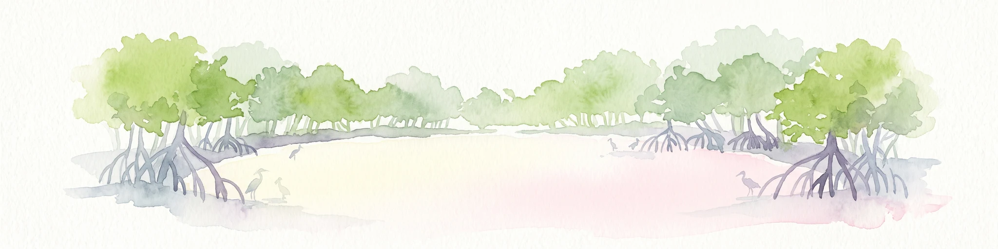
Watercolor painting of mangrove trees with exposed prop roots lining a sandy shore.
Marine protected areaAruba

Marine Park Aruba: An Atlas of Protected Coastal Waters and Marine Conservation Zones

Mapping the four-part reserve network across the island coastline

Marine Park Aruba consists of four separate marine protected areas that safeguard the most ecologically significant coastal waters of the island. The reserves protect a diverse array of marine landscapes, ranging from calm mangrove lagoons and seagrass beds to intricate fringing coral reefs. This data-driven overview tracks the park boundaries and regional distribution of these critical Caribbean habitats.

Area
60.2 km²
Established
2019
Relief
Lowland
Climate
Tropical
Landscape and environment

Understand how Aruba is shaped by terrain, ecosystems, and seasonal conditions

Aruba geography, nature, climate, and landscape context for park-focused travel research

Explore the physical geography, natural setting, and climate patterns of Aruba through a location-first overview built for travel research, national park discovery, and broader regional context. This section helps explain how landscapes, habitats, and environmental conditions shape what people search for, where they travel, and how they experience protected areas in Aruba.

Aruba geography and landscape

Aruba is situated in the southern Caribbean Sea, approximately 29 kilometres north of the Paraguaná Peninsula in Venezuela and 80 kilometres northwest of Curaçao. The island measures 32 kilometres in length and 10 kilometres at its widest point. Geologically, it lies on the South American continental shelf, placing it within the continent of South America geographically. As part of the ABC islands, Aruba forms the westernmost of the three islands along with Bonaire and Curaçao.

Aruba nature and environment

Aruba features a distinctive xeric desert landscape, atypical for the Caribbean region which typically experiences humid tropical climates. The island's terrain is relatively flat with hills, reaching a maximum elevation of 188 metres at Mount Hooiberg. The arid landscape supports limited vegetation, contrasting sharply with the lush tropical environments found on most Caribbean islands. Arikok National Park covers roughly 20% of the island's interior.

Aruba climate and seasonal conditions

Aruba experiences a dry, semi-arid climate with consistently warm temperatures throughout the year. Unlike much of the Caribbean, the island receives relatively low rainfall and features xeric vegetation. The climate is characterized by abundant sunshine and low humidity, making it a distinct outlier in Caribbean weather patterns.

Explore this place

Related topics and popular queries

Ways to explore Aruba

Useful phrases, related topics, and discovery prompts connected to Aruba.
aruba country informationwhere is aruba locatedaruba island factsaruba constituent country kingdom netherlandsaruba climate and geographyaruba population and capitalaruba travel informationaruba countryaruba islandaruba caribbeandutch caribbean islandsconstituent country netherlands kingdomaruba abc islandsaruba oranjestadaruba tourism
Park map

Trace park distribution across arid terrain and marine protected reserves

Aruba National Parks Map and Protected Areas Atlas Geography

Browse core park locations across Aruba through an interactive map preview showing protected coastal zones and interior wildlife habitats. Continue into the full country map to examine complete regional boundaries and detailed conservation terrain.

Common inquiries regarding park geography, arid landscapes, and marine reserves

Frequently Asked Questions About National Parks and Protected Areas in Aruba

Explorers often seek clarity on the regional distribution of protected lands, coastal ecosystems, and marine reserves across the island. Reviewing these structured answers helps clarify the broader geography and conservation status of natural habitats in Aruba.
Other countries

Compare island ecosystems and neighboring marine reserves across the global park atlas.

Explore Other Countries With National Parks Near Aruba and Regional Protected Areas

Browse national parks and protected areas in nearby countries to compare distinct island geographies and marine reserves. Expanding the search across international borders helps trace regional conservation networks and protected landscapes.

Venezuela National Parks and Protected Areas: A Geographic Overview

Explore Venezuela through its network of national parks and protected areas. This section provides a structured view of the country's conserved natural landscapes, highlighting their geographic distribution and mapped boundaries. Understand how these protected areas contribute to the regional geography and offer diverse terrain for atlas-based discovery.

69 parks

Haiti National Parks and Protected Areas: Explore Mapped Landscapes and Regional Geography

Access a structured view of Haiti's national parks and protected areas, emphasizing their geographic distribution and landscape context. This entry point facilitates exploration of mapped terrain and understanding the regional spread of conservation efforts across the island nation. Understand the foundational geography of Haiti's natural reserves and navigate to detailed park information for a comprehensive atlas experience.

15 parks

Dominican Republic National Parks and Protected Areas: An Atlas of Mapped Landscapes

Navigate the Dominican Republic's protected natural areas with this geography-focused atlas. Explore individual park boundaries and understand their placement within the broader landscape context of Hispaniola island. This resource provides a structured view of the nation's conservation lands, ideal for geographic and atlas-based discovery.

11 parks

Puerto Rico National Parks and Protected Areas: Regional Geography and Atlas Explorer

Explore the structured dataset of Puerto Rico protected areas, ranging from mountain and elfin forests to unique karst landscapes and coastal watersheds. Access detailed information on state forest boundaries and regional geographic distribution throughout the archipelago.

10 parks

Dominica's National Parks and Protected Landscapes: An Atlas Explorer

Access a structured geographic overview of Dominica's national parks and protected natural areas. This atlas-style explorer helps you understand the distribution of protected lands, the unique volcanic terrain, and the mapped boundaries of Dominica's conservation landscapes. Delve into the island's natural geography with detailed, context-aware information for focused exploration.

3 parks

National Parks and Protected Areas of Grenada: Regional Geography and Atlas

Examine the geographic framework of protected areas within Grenada. This resource highlights the spatial distribution of key sites including montane forest reserves and coastal wetlands, providing a clear overview of the national landscape and its conservation boundaries.

2 parks

Curacao National Parks and Protected Areas: Mapped Landscapes and Geography

Explore the curated geography of Curacao's national parks and protected lands. This atlas view details the distribution of conservation areas and natural landscapes, offering a structured approach to understanding the island nation's unique terrain and protected regions. Navigate Curacao's significant protected areas and gain geographic context for its natural heritage.

1 park

Caribbean Netherlands National Parks, Protected Landscapes, and Regional Geography

Access a structured overview of protected lands across the Caribbean Netherlands. This resource provides geographic data on national parks and natural wilderness areas, facilitating the study of island environments from Bonaire to Saba and Sint Eustatius.

1 park

Protected area types

Explore the Official Park Designations and Protected Areas of Aruba

Navigate the structured designation framework for Aruba to locate national parks and marine protected areas. MoriAtlas provides a clear geographic context for every conservation category, ensuring detailed insight into the natural landscape and environmental framework of this Caribbean constituent country.

Aruba Park and Protected Area Designations
MoriAtlas Explorer

Continue Your Global Geographic Exploration with MoriAtlas Park Discovery

Dive deeper into the world's protected landscapes and national parks through MoriAtlas's structured atlas interface. Discover how continents and countries are organized, and how individual park geography fits into the broader map. Our platform is built for understanding the distribution and context of protected areas worldwide, facilitating your journey through global natural geography.

Global natural geography