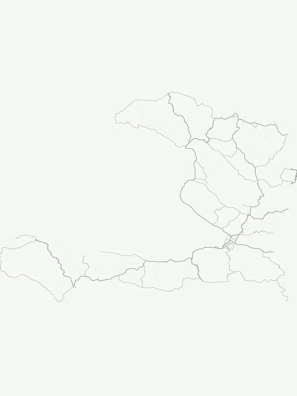
Mori Atlas logo
Countries

Browse Haiti's protected lands and natural terrain, tracing park boundaries across the island nation.

Haiti National Parks and Protected Areas: A Geographic Atlas for Mapped Landscape Discovery

Haiti, a Caribbean island nation, features a network of national parks and protected areas crucial for understanding its natural terrain and geographic distribution. This atlas entry provides a structured approach to exploring Haiti's conservation landscapes, allowing users to visualize mapped park boundaries and understand their regional context. Discover the spread of protected areas across Hispaniola's western third and navigate Haiti's diverse geography from a foundational geographic perspective.

Related tags

Caribbean countryisland nationhispaniolafrancophoneleast developed country
About

Mapped Landscapes of Haiti's Conservation Zones and Regional Park Distribution

Haiti National Parks and Protected Areas: Geographic Overview and Atlas
Explore the national parks and protected areas of Haiti, encompassing the unique conservation landscapes found across the western third of Hispaniola Island. Navigate this geographic atlas view to understand the regional distribution of Haiti's natural reserves and their significant place within Caribbean conservation efforts.

Haiti is a Caribbean country occupying the western third of Hispaniola Island in the Caribbean Sea. It gained independence from France in 1804 following the Haitian Revolution, becoming the first sovereign state established by a slave revolt and the second independent nation in the Americas. The country is known for its complex political history, economic challenges, and cultural significance in the Caribbean.

Haiti is a Caribbean nation located on the western portion of Hispaniola Island, which it shares with the Dominican Republic to the east. The country is bordered by the Caribbean Sea and occupies a strategic position in the Caribbean, east of Cuba and south of the Bahamas. Haiti became independent in 1804 after the Haitian Revolution, making it the first Black republic in the world and the first country in the Americas to formally abolish slavery. The country has faced significant political and economic challenges throughout its history, including foreign occupations, dictatorships, and recent governance crises.

Largest city:Port-au-Prince
Currency code:HTG
ISO code:HT
Parks count
8
Capital
Port-au-Prince
Area
27,700 km²
Population
11,470,261 (2,023)

Coastal
Island
Mountainous
Landlocked
Park atlas8 parks

Browse Haiti's Diverse Protected Landscapes, from Cloud Forests to Coastal Conservation Zones

Discover National Parks in Haiti: Explore Caribbean Protected Areas and Island Geography
Browse a structured atlas of Haiti's national parks and protected areas, tracing key conservation landscapes from mountain cloud forests to critical coastal zones. Explore the country's unique park geography and ecological features, understanding the regional context of protected areas across the island of Hispaniola.
National parkDemocratic Republic of the Congo

Salonga National Park: Africa's Largest Tropical Rainforest Protected Landscape

Discover its vast mapped boundaries and riverine geography.

Salonga National Park is recognized as Africa's largest tropical rainforest, a UNESCO World Heritage Site vital for the conservation of bonobos and other endemic species. Its protected landscape is defined by extensive lowland forests and intricate river networks, with access primarily through waterways. This park offers profound insights into the geography of the Congo Basin and the conservation of endangered primates within a vast, remote wilderness.

Area
36,000 km²
Established
1970
IUCN
II
Relief
Lowland
National park

Rila National Park: Bulgaria's Largest National Park with Alpine Terrain and Glacial Lakes

Explore mapped boundaries and protected landscape features.

Rila National Park, situated in Bulgaria's Rila mountain range, stands as the country's largest national park and a vital protected landscape. Its territory is characterized by dramatic glacial topography, including the iconic Seven Rila Lakes, and ascends to Musala Peak, the highest summit in the Balkan Peninsula. This atlas entry details the park's extensive mapped boundaries and unique ecosystems, emphasizing its importance for understanding regional geography and protected area networks.

Area
810.46 km²
Established
1992
IUCN
II
Relief
Mountain
National parkHaiti

Pic Macaya National Park: Haiti's Protected Cloud Forest and Mountain Geography

Explore critical endemic species within Haiti's mountainous protected areas.

Pic Macaya National Park stands as a significant natural sanctuary in Haiti, preserving the island's final remnants of virgin cloud forest within the challenging terrain of the Massif de la Hotte. This protected area is defined by its high-altitude volcanic and karstic landscape, including Pic Macaya, the second-highest peak in Haiti. The park is a crucial stronghold for biodiversity, harboring numerous species endemic to Hispaniola, making it an essential site for conservation and a focal point for understanding regional natural landscapes.

Area
55 km²
Established
1984
IUCN
II
National parkHaiti

Three Bays Protected Area National Park: Haiti's Extensive Marine and Coastal Protected Landscape

Mapped coral reefs, mangrove forests, and unique regional geography.

The Three Bays Protected Area in Haiti is a key national park established to conserve its vital marine and coastal environments. Covering over 75,000 hectares, it is the country's largest protected marine complex, encompassing extensive and healthy coral reefs, critical seagrass beds, and sprawling mangrove forests. This protected landscape provides essential ecosystem services and coastal protection, showcasing a significant portion of Haiti's natural heritage and regional geographic context along its northeastern shoreline.

Area
754.06 km²
Established
2014
IUCN
IV
National parkHaiti

La Visite National Park: Protected Highland Terrain and Endemic Pine Forest Landscape

Explore the geography and mapped park boundaries of Haiti's significant national park.

La Visite National Park is a vital protected area located in Haiti's mountainous Massif de la Selle region. It is distinguished by its rare montane ecosystems, including extensive Hispaniolan pine forests and high-altitude grasslands, creating a unique landscape within the Caribbean. This atlas entry focuses on the park's geographic setting, its mapped protected boundaries, and its ecological significance as a key component of Haiti's natural heritage, offering a detailed look at its distinctive terrain.

Area
30 km²
Established
1983
IUCN
II
National parkHaiti

Grande Colline National Park: Remote Haitian Mountain Protected Landscape

Unique cloud forest, giant tree ferns, and rugged terrain in Haiti.

Grande Colline National Park safeguards crucial montane cloud forest ecosystems in Haiti's Massif de la Hotte. Characterized by its five named peaks and steep ridges, this protected area preserves a landscape of towering tree ferns and intact hardwood forests above 1,800 meters. Its establishment highlights scientific exploration and the ongoing need for conservation in one of the Caribbean's most biodiverse regions, offering a unique glimpse into isolated montane geography.

Area
15.1 km²
Established
2014
IUCN
II
Relief
Mountain
National parkSud

Grand Bois National Park National Park: Protected Mountain Landscape in Sud, Haiti

Discover Haiti's vital primary rainforest and endemic species refuge.

Grand Bois National Park is a critical conservation area in Haiti's Sud region, established to protect the rare primary rainforest ecosystem found on the isolated Morne Grand Bois peak. This national park safeguards approximately 3.7 square kilometers of mountainous terrain above 900 meters, featuring a unique cloud forest environment. It is a vital refuge for endemic species, including rediscovered amphibians and rare flora, making it a significant site for Caribbean biodiversity and landscape conservation. The park's importance lies in preserving one of Haiti's last intact forest ecosystems.

Area
3.7 km²
Established
2015
IUCN
II
National parkHaiti

Deux Mamelles National Park: Protected Cloud Forest and Mountain Terrain in Haiti

Explore Haiti's critical highland cloud forest ecosystem.

Deux Mamelles National Park is a protected area in Haiti renowned for preserving one of the Caribbean's last remaining cloud forest ecosystems. Located on the Tiburon Peninsula, the park centers around Morne Deux Mamelles, a mountain rising to 1,276 meters. Its rugged, dissected limestone terrain supports primary forest at high elevations, making it a significant biodiversity hotspot and a key site for watershed protection. This park offers a glimpse into the unique natural heritage of Haiti's highlands.

Area
22.65 km²
Established
2015
IUCN
II
Landscape and environment

Understand how Haiti is shaped by terrain, ecosystems, and seasonal conditions

Haiti geography, nature, climate, and landscape context for park-focused travel research
Explore the physical geography, natural setting, and climate patterns of Haiti through a location-first overview built for travel research, national park discovery, and broader regional context. This section helps explain how landscapes, habitats, and environmental conditions shape what people search for, where they travel, and how they experience protected areas in Haiti.

Haiti geography and landscape

Haiti occupies the western third of Hispaniola Island in the Caribbean, sharing the island with the Dominican Republic. The country is positioned in the Caribbean Sea, east of Cuba and south of the Bahamas. Haiti's terrain is predominantly mountainous, with valleys and coastal plains. The country borders the Caribbean Sea on its western, southern, and southwestern coasts.

Haiti nature and environment

Haiti's natural landscape features mountainous terrain with limited forest cover. The country has experienced significant deforestation and environmental degradation. Its ecosystems include coastal areas, tropical forests in some regions, and mountain environments.

Haiti climate and seasonal conditions

Haiti has a tropical climate with warm temperatures year-round. The country experiences a rainy season from April to June and a more pronounced wet season from August through October, often accompanied by hurricanes.

Explore this place

Related topics and popular queries

Ways to explore Haiti
Useful phrases, related topics, and discovery prompts connected to Haiti.
where is haiti locatedhaiti country factswhat is haiti known forcapital of haitihaiti population and areahaiti countrycaribbean island nationhispaniolaport-au-princehaitian republichaitian gourdefrench caribbeanhaitian creole speaking country
Park map

Visualize the mapped geography of Haiti's protected areas and national parks, revealing their distribution across the island.

Explore the National Parks Map of Haiti: Geographic Distribution of Protected Areas
Explore the geographic placement of Haiti's national parks and other protected areas, tracing their distribution from the mountainous interior to diverse coastal regions. The full country map offers comprehensive spatial context, allowing for detailed exploration of Haiti's conservation landscapes and regional park patterns.

Understand Haiti's protected landscape distribution, significant ecological zones, and crucial Caribbean conservation geography.

Common Questions on Haiti's National Parks, Protected Areas, and Geographic Landscapes
Browse key insights into Haiti's national parks, vital protected areas, and unique island geography, including important mountain regions and coastal conservation zones. Gain a deeper understanding of the distribution of Haiti's protected landscapes and the foundational aspects of its Caribbean natural heritage, supporting your atlas-style discovery.
Other countries

Compare Caribbean protected landscapes and global park geography from Haiti's unique island context.

Explore National Parks and Protected Areas in Countries Beyond Haiti
Continue your park discovery beyond Haiti, exploring national parks and protected areas in neighboring Caribbean countries and around the world. Browse diverse conservation landscapes and compare protected-area geography across multiple nations through a comprehensive atlas view.

Venezuela National Parks and Protected Areas: A Geographic Overview

Explore Venezuela through its network of national parks and protected areas. This section provides a structured view of the country's conserved natural landscapes, highlighting their geographic distribution and mapped boundaries. Understand how these protected areas contribute to the regional geography and offer diverse terrain for atlas-based discovery.

19 parks

Dominican Republic National Parks and Protected Areas: An Atlas of Mapped Landscapes

Navigate the Dominican Republic's protected natural areas with this geography-focused atlas. Explore individual park boundaries and understand their placement within the broader landscape context of Hispaniola island. This resource provides a structured view of the nation's conservation lands, ideal for geographic and atlas-based discovery.

11 parks

Dominica's National Parks and Protected Landscapes: An Atlas Explorer

Access a structured geographic overview of Dominica's national parks and protected natural areas. This atlas-style explorer helps you understand the distribution of protected lands, the unique volcanic terrain, and the mapped boundaries of Dominica's conservation landscapes. Delve into the island's natural geography with detailed, context-aware information for focused exploration.

1 park

Curacao National Parks and Protected Areas: Mapped Landscapes and Geography

Explore the curated geography of Curacao's national parks and protected lands. This atlas view details the distribution of conservation areas and natural landscapes, offering a structured approach to understanding the island nation's unique terrain and protected regions. Navigate Curacao's significant protected areas and gain geographic context for its natural heritage.

1 park

Cuba's National Parks and Protected Areas: Mapped Landscape Explorer

Access a structured view of Cuba's national parks and protected areas, designed for geographic discovery and atlas-style navigation. Understand the spread of conservation landscapes across the island nation, tracing park boundaries and appreciating the regional context of its natural terrain. This resource facilitates a deeper insight into the geographic composition of protected areas within Cuba, beyond simple lists.

1 park

Antigua and Barbuda National Parks and Protected Areas: Geographic Discovery

Uncover the protected natural areas of Antigua and Barbuda through a structured geographic lens. This resource facilitates discovery of the nation's national parks and conservation landscapes, detailing their mapped boundaries and regional context. Understand how these protected lands contribute to the unique geography of the Caribbean nation, offering insights into their distribution and natural terrain. It serves as a vital atlas entry point for exploring the conservation geography of Antigua and Barbuda.

1 park

Guadeloupe Protected Areas Atlas: National Parks and Mapped Landscapes

Navigate the protected natural areas of Guadeloupe, a French Caribbean island. This atlas provides detailed geographic context for its national parks, volcanic landscapes, and marine reserves. Understand the distribution and mapped boundaries of these key conservation sites, offering a structured approach to exploring the region's unique environments.

1 park
MoriAtlas Explorer

Continue Your Global Geographic Exploration with MoriAtlas Park Discovery

Dive deeper into the world's protected landscapes and national parks through MoriAtlas's structured atlas interface. Discover how continents and countries are organized, and how individual park geography fits into the broader map. Our platform is built for understanding the distribution and context of protected areas worldwide, facilitating your journey through global natural geography.

Global natural geography