
Mori Atlas logo
Country parks

Explore the mapped distribution and geographic context of protected landscapes across Haiti.

Haiti National Parks and Protected Areas: A Comprehensive Browse Guide

Discover the diverse network of national parks and protected areas within Haiti. This dedicated browse surface allows for exploration of conservation landscapes and their geographic spread across the Caribbean island nation, providing a clear atlas-style view of Haiti's natural heritage. Understand the scope and location of these vital protected lands, serving as a direct gateway to understanding Haiti's geography.

Haiti National Parks and Protected Areas: A Comprehensive Browse Guide

Browse Haiti's diverse protected landscapes, from mountain cloud forests to coastal conservation zones, tracing their geographic distribution.

National Parks in Haiti: Explore Protected Areas and Conservation Landscapes

Discover Haiti's national parks, nature reserves, and other protected areas, including significant mountain parks like Pic Macaya and vital coastal conservation zones. Reviewing the full country-wide park list helps users map the distribution of protected landscapes across Hispaniola and understand Haiti's unique conservation geography.

Showing 1 to 15 of 15 parks

National parkHaitiMountain

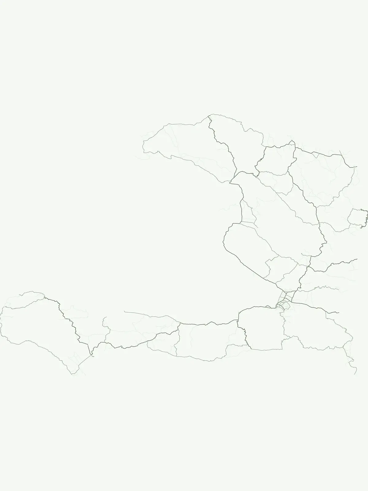
National History Park

Discover the park's mapped terrain and protected land geography.

The National History Park serves as a critical protected area within Haiti, offering detailed insights into its unique landscape and geographic setting. As a designated national park, it provides valuable data for atlas-based exploration of protected territories. Users can investigate the park's mapped boundaries, its regional context within Haiti, and the characteristics of its natural terrain, enriching their understanding of conservation landscapes.

25.28 km²1968TropicalModerate access
National parkNordMountain

Parc national historique - Citadelle, Sans Souci, Ramiers

Protected mountain terrain and historic fortifications in northern Haiti

This national park protects an expansive mountain massif characterized by the massive Citadelle La Ferrière and the ruins of Sans-Souci Palace. Beyond its architectural significance, the park safeguards essential karst cave networks, natural springs, and forested river corridors that shape the rugged topography of northern Haiti.

252.86 km²1968Minor water
National parkHaitiMountain

Pic Macaya National Park

Explore critical endemic species within Haiti's mountainous protected areas.

Pic Macaya National Park stands as a significant natural sanctuary in Haiti, preserving the island's final remnants of virgin cloud forest within the challenging terrain of the Massif de la Hotte. This protected area is defined by its high-altitude volcanic and karstic landscape, including Pic Macaya, the second-highest peak in Haiti. The park is a crucial stronghold for biodiversity, harboring numerous species endemic to Hispaniola, making it an essential site for conservation and a focal point for understanding regional natural landscapes.

80 km²1984TropicalAccess unknown
National parkHaiti

Parc national La Visite

Highland pine forest refuges and karst limestone landscapes.

Located in the Chaîne de la Selle, Parc national La Visite serves as a key conservation anchor for the unique upland ecosystems of Haiti. This detailed atlas entry maps the park's steep limestone plateaus, deep gorges, and expansive pine forests, providing essential context on one of the Caribbean's most significant transboundary protected mountain landscapes.

1983
National parkSud

Parc national de Macaya

Cloud forest summits and hydrological landscapes in Sud

This protected area represents one of the most significant biodiversity reserves in the Caribbean. By safeguarding high-elevation cloud forests and steep mountain terrain within the Sud region, the park sustains rare endemic flora and vital watersheds that define the southern Haitian landscape.

20 km²1983II
Protected areaHaitiMountain

Massif de la Hotte

Exploring the ecological architecture of the Tiburon Peninsula.

Massif de la Hotte serves as a pivotal mountainous protected area in southwestern Haiti, known for its dense cloud forest coverage and steep, rugged topography. This overview provides insight into the massif’s formation, its role as a regional biodiversity anchor, and its vertical landscape that rises sharply from the surrounding coastal lowlands.

Minor water
National parkHaitiMountain

La Visite National Park

Explore the geography and mapped park boundaries of Haiti's significant national park.

La Visite National Park is a vital protected area located in Haiti's mountainous Massif de la Selle region. It is distinguished by its rare montane ecosystems, including extensive Hispaniolan pine forests and high-altitude grasslands, creating a unique landscape within the Caribbean. This atlas entry focuses on the park's geographic setting, its mapped protected boundaries, and its ecological significance as a key component of Haiti's natural heritage, offering a detailed look at its distinctive terrain.

30 km²1983TropicalModerate access
National parkHaiti

Parc national La Visite

Mapping the Massif de la Selle mountain ecosystems.

Parc national La Visite occupies a critical position in southeastern Haiti, protecting a rugged highland plateau defined by dense ravines and Haiti's largest surviving pine forest. This protected area offers a distinct geographic window into the cool, montane terrain of the Massif de la Selle, serving as an essential core zone for regional conservation and mountain landscape study.

30 km²1983II
National parkHaitiMountain

Deux Mamelles National Park

Explore Haiti's critical highland cloud forest ecosystem.

Deux Mamelles National Park is a protected area in Haiti renowned for preserving one of the Caribbean's last remaining cloud forest ecosystems. Located on the Tiburon Peninsula, the park centers around Morne Deux Mamelles, a mountain rising to 1,276 meters. Its rugged, dissected limestone terrain supports primary forest at high elevations, making it a significant biodiversity hotspot and a key site for watershed protection. This park offers a glimpse into the unique natural heritage of Haiti's highlands.

22.65 km²2015TropicalRemote access
National parkSudMountain

Grand Bois National Park

Discover Haiti's vital primary rainforest and endemic species refuge.

Grand Bois National Park is a critical conservation area in Haiti's Sud region, established to protect the rare primary rainforest ecosystem found on the isolated Morne Grand Bois peak. This national park safeguards approximately 3.7 square kilometers of mountainous terrain above 900 meters, featuring a unique cloud forest environment. It is a vital refuge for endemic species, including rediscovered amphibians and rare flora, making it a significant site for Caribbean biodiversity and landscape conservation. The park's importance lies in preserving one of Haiti's last intact forest ecosystems.

3.7 km²2015TropicalII
Watercolor painting showing green ferns in the foreground with mountains and a pastel sky in the background
National parkHaitiMountain

Grande Colline National Park

Unique cloud forest, giant tree ferns, and rugged terrain in Haiti.

Grande Colline National Park safeguards crucial montane cloud forest ecosystems in Haiti's Massif de la Hotte. Characterized by its five named peaks and steep ridges, this protected area preserves a landscape of towering tree ferns and intact hardwood forests above 1,800 meters. Its establishment highlights scientific exploration and the ongoing need for conservation in one of the Caribbean's most biodiverse regions, offering a unique glimpse into isolated montane geography.

15.1 km²2014Remote accessII
National parkSudMountain

Parc national naturel de Grande Colline

A remote, high-altitude primary forest reserve in the Massif de la Hotte

Trace the boundaries of Parc national naturel de Grande Colline, an inaccessible mountain sanctuary characterized by deep ravines, cloud forests, and permanent rivers. As a central biodiversity site within Haiti, the terrain spans five major summits and protects key headwaters for the southern coastline. This atlas entry provides an overview of the park's geographic significance and primary forest habitat.

15.1 km²2014TropicalRemote access
National parkSud

Parc national du Grand Bois

High-elevation montane terrain within the Sud department of Haiti

Parc national du Grand Bois protects an ecologically significant remnant of primary tropical and cloud forest on the isolated Morne Grand Bois peak. The park's steep, basin-like geography creates a unique refuge for endemic biodiversity and critical watershed protection in the Sud region, showcasing a distinct topographic boundary that contrasts sharply with the surrounding deforested slopes of the Tiburon Peninsula.

3.702 km²2015II
National parkHaitiMarine

Three Bays Protected Area

Mapped coral reefs, mangrove forests, and unique regional geography.

The Three Bays Protected Area in Haiti is a key national park established to conserve its vital marine and coastal environments. Covering over 75,000 hectares, it is the country's largest protected marine complex, encompassing extensive and healthy coral reefs, critical seagrass beds, and sprawling mangrove forests. This protected landscape provides essential ecosystem services and coastal protection, showcasing a significant portion of Haiti's natural heritage and regional geographic context along its northeastern shoreline.

754.06 km²2014TropicalIV
National parkSud Department

Forêt des Pins National Park

Mapping the pine-forested terrain and high-altitude mountain ecosystems of the southern massif.

Explore the expansive geography of Forêt des Pins National Park, which protects the remnants of Haiti's highland Caribbean pine forests. This protected area spans critical high-elevation slopes and mountain watersheds, offering a detailed look at the rugged natural terrain of the southern massif surrounding Pic la Selle.

187.8 km²1937
Other countries

Compare Caribbean protected landscapes and global park geography from Haiti's unique island context.

Explore National Parks and Protected Areas in Countries Beyond Haiti

Continue your park discovery beyond Haiti, exploring national parks and protected areas in neighboring Caribbean countries and around the world. Browse diverse conservation landscapes and compare protected-area geography across multiple nations through a comprehensive atlas view.

Bahamas National Parks and Protected Areas: Mapped Geographic Exploration

Access a structured overview of the Bahamas' national parks and protected natural areas. This atlas-focused exploration details the geographic distribution, landscape context, and mapped boundaries of conservation lands across the archipelago, facilitating deeper understanding of the island nation's natural heritage.

19 parks

Dominican Republic National Parks and Protected Areas: An Atlas of Mapped Landscapes

Navigate the Dominican Republic's protected natural areas with this geography-focused atlas. Explore individual park boundaries and understand their placement within the broader landscape context of Hispaniola island. This resource provides a structured view of the nation's conservation lands, ideal for geographic and atlas-based discovery.

11 parks

Puerto Rico National Parks and Protected Areas: Regional Geography and Atlas Explorer

Explore the structured dataset of Puerto Rico protected areas, ranging from mountain and elfin forests to unique karst landscapes and coastal watersheds. Access detailed information on state forest boundaries and regional geographic distribution throughout the archipelago.

10 parks

Dominica's National Parks and Protected Landscapes: An Atlas Explorer

Access a structured geographic overview of Dominica's national parks and protected natural areas. This atlas-style explorer helps you understand the distribution of protected lands, the unique volcanic terrain, and the mapped boundaries of Dominica's conservation landscapes. Delve into the island's natural geography with detailed, context-aware information for focused exploration.

3 parks

Aruba National Parks and Protected Areas: A Comprehensive Geographic Atlas Entry

Access a structured inventory of protected lands across Aruba, including national parks and marine reserves. This resource highlights the geographic distribution, natural terrain characteristics, and park boundaries that define the island's conservation landscape, providing a clear reference for researchers and geographic enthusiasts alike.

2 parks

Curacao National Parks and Protected Areas: Mapped Landscapes and Geography

Explore the curated geography of Curacao's national parks and protected lands. This atlas view details the distribution of conservation areas and natural landscapes, offering a structured approach to understanding the island nation's unique terrain and protected regions. Navigate Curacao's significant protected areas and gain geographic context for its natural heritage.

1 park

Sint Maarten National Parks and Regional Protected Area Geography

Trace the environmental geography of Sint Maarten by investigating its network of protected areas and marine parks. Access precise mapping data and site-specific records for natural landscapes across the island territory, including essential coral reef and seagrass meadow habitats.

1 park

Caribbean Netherlands National Parks, Protected Landscapes, and Regional Geography

Access a structured overview of protected lands across the Caribbean Netherlands. This resource provides geographic data on national parks and natural wilderness areas, facilitating the study of island environments from Bonaire to Saba and Sint Eustatius.

1 park

Protected area types

Continue Exploring Haiti's Protected Area Designations and Park Geography

Deepen your understanding of Haiti's protected landscapes by continuing to explore its specific designation categories. This pathway allows for detailed examination of represented national parks and other conservation areas, revealing their unique geographic features and atlas context within the country. Understand the classified park system that shapes Haiti's commitment to conservation.

Haiti Protected Area Designations
MoriAtlas Explorer

Continue Exploring Haiti's Protected Area Geography and Landscape Context

Deepen your understanding of Haiti's natural geography by continuing to search and compare its protected areas. This route facilitates precise filtering of mapped landscapes and conservation territories, allowing for detailed analysis of regional context and environmental characteristics. Explore Haiti's unique natural heritage through focused, data-driven discovery that goes beyond simple browsing.






