Mori Atlas logo
Countries

Map landscapes and trace the geographic spread of protected areas across Panama's diverse terrain.

Panama National Parks: An Atlas Explorer of Protected Lands and Geographic Distribution

Explore Panama's rich tapestry of national parks and protected natural areas, from the watershed protection zones around the canal to the tropical rainforests of Darién. This atlas-style platform offers a structured view of Panama's protected lands, enabling users to understand their geographic distribution, mapped boundaries, and regional context. Navigate Panama's conservation landscapes with a focus on geography and map exploration.

Panama National Parks: An Atlas Explorer of Protected Lands and Geographic Distribution
About

Trace Panama's Mapped Geography, Diverse Conservation Landscapes, and Regional Park Spread

National Parks and Protected Areas in Panama: A Central American Atlas for Park Discovery
Explore the national parks and protected areas of Panama, a Central American country known for its strategic canal and diverse tropical ecosystems. Navigate Panama's detailed park geography and conservation landscapes, providing a valuable atlas entry point for regional environmental discovery.

Panama is a presidential republic located at the southern end of Central America in North America. It gained independence from Spain in 1821 and from Colombia in 1903, the latter enabling the construction of the Panama Canal under U.S. supervision between 1904 and 1914. The canal was transferred to Panamanian control in 1999 following the Torrijos-Carter Treaties. With a population of approximately 4.3 million and an area of about 75,400 km², Panama has a high-income economy driven primarily by canal tolls, banking, commerce, and tourism.

Panama occupies a strategic geographic position as a narrow land bridge connecting North and South America. The Panama Canal, completed in 1914 and expanded in 2016, is the country's most significant landmark and economic asset, handling a large percentage of global maritime trade. The country has a diverse population dominated by mestizo and indigenous groups, with Spanish as the official language. Panama's tropical landscape includes extensive jungles covering about 40% of its territory, hosting numerous endemic species. The country is a founding member of the United Nations and other major international organizations.

Largest city:Panama City
Currency code:PAB
ISO code:PA
Parks count
11
Capital
Panama City
Area
75,417 km²
Population
4,337,768 (2,022)

Coastal
Island
Mountainous
Landlocked
Park atlas11 parks

Browse Panama's diverse protected landscapes, tracing its national parks, marine reserves, and unique conservation geography.

Discover National Parks in Panama: A Geographic Guide to Protected Areas
Discover Panama's national parks and protected areas, covering significant rainforests, diverse marine environments, and the crucial continental divide. This structured country view allows you to explore mapped park geography, compare key conservation sites, and understand the nation's unique natural heritage within Central America.
National parkDarién Province

Darién National Park: Darién Province National Park Geographic and Map Exploration

Discover its protected landscape and regional geographic context.

Darién National Park serves as a key protected area within Darién Province, offering an essential focus for geographic and atlas-based discovery. This dedicated park detail page provides insights into its mapped boundaries and its significance as a national park. Users can explore the park's specific geographic footprint and its place within the regional landscape, facilitating a structured understanding of protected natural areas. Dive into the mapped terrain and conservation landscape context that defines Darién National Park for comprehensive atlas exploration.

Area
5,790 km²
Established
1980
IUCN
II
Relief
Mountain
National parkPanama

Coiba National Park National Park: A Detailed Look at Panama's Protected Landscape and Geography

Explore mapped boundaries and regional context for this key protected area.

Coiba National Park stands as a distinct national park within Panama, offering a prime location for detailed geographic exploration. This page provides critical atlas-level insights into its protected landscape, mapped boundaries, and its role in the regional geography of Panama. Understand the fundamental aspects of this protected area as a key component of the country's natural heritage within a structured discovery framework.

IUCN
II
Marine protected areaBocas del Toro Province

Isla Bastimentos National Marine Park: Marine Protected Area Geography and Atlas Context

Explore the protected landscape within Bocas del Toro Province.

Isla Bastimentos National Marine Park represents a critical marine protected area offering essential geographic data for atlas-based research. Situated in Panama's Bocas del Toro Province, this entity provides a focal point for understanding protected marine territories and their mapped extent. Discover the park's specific location within the province, contributing to a detailed regional geography and a broader understanding of conservation landscapes.

Area
132.26 km²
Established
1988
IUCN
II
Relief
Lowland
National parkColón Province

Soberanía National Park: Panama National Park Atlas, Geography, and Protected Landscape Details

Explore the mapped boundaries and regional geography of this national park.

Investigate Soberanía National Park, a designated national park situated in Panama's Colón Province. This entry offers detailed geographic context, focusing on its mapped protected area, landscape character, and role within regional conservation. Understand the spatial distribution and atlas significance of this protected land, essential for a structured geographic discovery of Panama's natural heritage.

Area
220 km²
Established
1980
IUCN
II
Relief
Lowland
National parkPanamá Province

Chagres National Park: National Park Protected Landscape Atlas

Discover geographic boundaries and natural terrain context.

Chagres National Park is a crucial protected area situated in Panamá Province, Panama. This page serves as an atlas-style gateway to understanding its specific geographic identity, mapped boundaries, and the surrounding natural terrain. It is designed for users seeking detailed insights into the park's protected landscape and its contribution to regional geography and conservation mapping efforts.

Area
1,290 km²
Established
1985
IUCN
II
Relief
Upland
Marine protected areaPanama

Gulf of Chiriquí National Marine Park: Panama's Protected Marine Landscape

Discover its mapped boundaries and regional geographic context.

The Gulf of Chiriquí National Marine Park is a crucial marine protected area located in Panama, offering unique insights into coastal and marine geography. This page provides detailed atlas-level information on its protected landscape, mapped extent, and conservation significance, essential for understanding its place within the region's natural geography and protected areas.

IUCN
II
National parkPanama

Metropolitan Natural Park: Panama National Park with Mapped Geographic Boundaries

Explore its protected landscape and regional context.

Metropolitan Natural Park serves as a vital national park within Panama, offering a distinct focus for atlas-based geographic discovery. This entry details its protected area, allowing for an understanding of its landscape character and its position within the national geography. Delve into the mapped boundaries and discover the protected terrain that defines this Panamanian natural area, supporting a comprehensive atlas exploration.

Area
2.65 km²
Established
1985
IUCN
II
Relief
Upland
National parkPanamá Oeste Province

Altos de Campana National Park: National Park Protected Landscape and Geographic Context

Mapped boundaries and regional geography in Panamá Oeste Province.

Gain a structured understanding of Altos de Campana National Park, a designated national park located in Panamá Oeste Province. This page details its identity as a protected landscape, offering insights into its geographic placement and mapped boundaries for comprehensive atlas-style exploration. Understand its regional context and its contribution to Panama's network of protected areas.

Area
48.16 km²
Established
1966
IUCN
II
Relief
Mountain
National parkPanama

Cerro Hoya National Park: Panama's Protected Landscape with Mapped Geographic Detail

Explore the national park's mapped boundaries and regional atlas context.

Cerro Hoya National Park presents a unique opportunity for geographic discovery, focusing on its role as a protected landscape within Panama. This park detail page allows for an in-depth atlas-style exploration of its mapped boundaries and its contribution to the regional geography of Central America. Understand the protected-area identity and the natural context that defines this significant national park, providing valuable data for landscape analysis and map-based research.

Area
333.4 km²
Established
1984
IUCN
II
Relief
Mountain
National parkHerrera Province

Sarigua National Park: A Protected National Park Landscape in Herrera Province

Explore mapped boundaries and regional geographic context.

Sarigua National Park represents a significant protected area within Herrera Province, Panama. This page details its identity as a national park, emphasizing its mapped geography and the regional context it inhabits. Users seeking to understand the specific protected landscape, its boundaries, and its place within the broader atlas of natural areas will find comprehensive discovery-oriented content.

IUCN
II
Relief
Lowland
Climate
Tropical
Access
Access unknown
National parkPanama

Omar Torrijos "El Cope" National Park: Mapped Boundaries and Protected Landscape in Panama

Explore the geographic setting and natural terrain of this Panamanian national park.

Omar Torrijos "El Cope" National Park is a designated protected area offering rich opportunities for geographic discovery. Users can explore its mapped boundaries, understand its place within Panama's natural landscapes, and gain insight into the park's regional geographic context. This page provides a structured atlas-style view, highlighting the park's identity as a significant protected landform within Central America.

IUCN
II
Scope
Terrestrial
Landscape and environment

Understand how Panama is shaped by terrain, ecosystems, and seasonal conditions

Panama geography, nature, climate, and landscape context for park-focused travel research
Explore the physical geography, natural setting, and climate patterns of Panama through a location-first overview built for travel research, national park discovery, and broader regional context. This section helps explain how landscapes, habitats, and environmental conditions shape what people search for, where they travel, and how they experience protected areas in Panama.

Panama geography and landscape

Panama is located at the southern end of the Central American isthmus, stretching from the Caribbean coast in the north to the Pacific coast in the south. The country shares land borders with Costa Rica to the west and Colombia to the southeast. The terrain consists of coastal plains, mountain ranges including the Cordillera Central and Cordillera de Talamanca, and river valleys. The Panama Canal bisects the country, connecting the Atlantic and Pacific Oceans.

Panama nature and environment

Panama's tropical forests cover approximately 40% of the country's land area and contain exceptional biodiversity. The jungles are home to numerous endemic plant and animal species, some found nowhere else on Earth. The country features various ecosystems including tropical rainforests, mangrove swamps along both coasts, and cloud forests in the highlands.

Panama climate and seasonal conditions

Panama has a tropical climate with high temperatures year-round and distinct wet and dry seasons. The Pacific coast experiences a dry season from December to April, while the Caribbean side remains wetter throughout the year. Rainfall is heaviest in the tropical forest regions.

Explore this place

Related topics and popular queries

Ways to explore Panama
Useful phrases, related topics, and discovery prompts connected to Panama.
where is panama locatedpanama country informationpanama canal historypanama population and areapanama geography and climaterepublic of panama factspanama countrycentral america panamapanama canalrepublic of panamapanama citypanama geographypanama economy
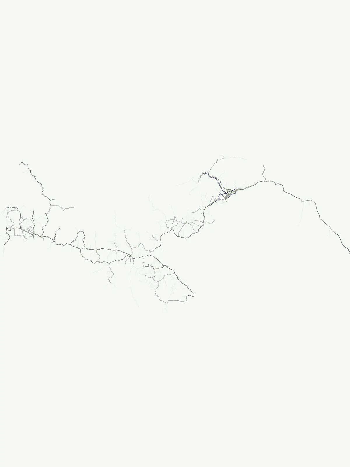
Park map

Visualize the distribution of Panama's diverse national parks and protected areas, understanding their spatial context and conservation landscapes.

Panama National Parks Map: Trace Protected Areas and Park Geography Across Central America
Preview the mapped locations of Panama's national parks and protected areas, from the Continental Divide to its Caribbean and Pacific coastlines, identifying key conservation landscapes. Explore how protected terrain is distributed across this Central American country, offering a geographic overview useful for further park-level discovery and detailed mapping.

Uncover geographic insights and the distribution of protected areas across Panama's diverse Central American landscapes.

Frequently Asked Questions About National Parks and Protected Areas in Panama
Browse comprehensive answers to frequently asked questions concerning Panama's national parks and designated protected areas. These insights provide essential context for understanding the unique geographic distribution of conservation landscapes and their role within the country's Central American environment.
Other countries

Beyond Panama, map and compare national park geography, tracing protected areas across Central America.

Discover National Parks in Countries Near Panama and Broader Central American Protected Areas
After exploring Panama's national parks, continue your geographic discovery by browsing protected areas and mapped landscapes in neighboring Central American countries. These comprehensive country park lists offer a valuable atlas perspective, allowing you to compare conservation efforts and natural features across the broader region.

Colombia National Parks and Protected Areas: Mapped Landscape Explorer

Navigate the diverse protected areas and national parks within Colombia using a structured geographic atlas. This resource highlights the mapped distribution of conservation lands, offering insights into the natural terrain and regional landscape context across the country. Understand where Colombia's key protected areas are located and their significance within the broader South American geography.

37 parks

Costa Rica National Parks and Protected Areas: A Geographic Atlas

Access a structured atlas for exploring Costa Rica's national parks and protected natural areas. This platform offers detailed insights into the geographic scope of conservation efforts, highlighting park boundaries, regional terrain, and the distribution of diverse natural landscapes across the country. It serves as a vital tool for understanding the mapped protected geography of Central America.

30 parks

Honduras National Parks and Protected Areas: Geographic Atlas and Mapped Landscapes

Navigate the atlas of Honduras's national parks and protected areas, gaining insights into their geographic spread and conservation significance. This resource highlights the distribution of protected landscapes across the country, offering a clear view of Honduras's natural terrain and facilitating systematic discovery of its diverse natural features. Understand the scope of protected areas and their placement within the broader Honduran geography.

18 parks

Ecuador's National Parks and Protected Areas: A Geographic Exploration

Navigate Ecuador's protected areas and national parks to understand their geographic context and distribution. This atlas offers a structured view of the country's conservation landscapes, highlighting diverse terrains from Andean paramo to endemic Galápagos ecosystems. Explore the mapped boundaries and regional geography to appreciate the scope of natural preservation efforts.

10 parks

Belize National Parks and Protected Areas: Mapped Geographic Discovery

Delve into the protected areas of Belize through a comprehensive geographic lens. This atlas helps you understand the distribution and mapped context of national parks and conservation landscapes within Belize. Examine the country's natural terrain and how protected areas are situated regionally, offering a unique perspective on its ecological geography and conservation efforts.

8 parks

Armenia National Parks and Protected Areas: Geographic Browse

Delve into Armenia's protected natural areas with a focus on geographic structure and mapped park boundaries. MoriAtlas offers a comprehensive view of the nation's protected lands, highlighting their regional context within the Armenian Highlands and South Caucasus geography. Understand the distribution of these vital conservation zones.

4 parks

El Salvador National Parks and Protected Areas: Mapped Geographic Explorer

Gain insight into the protected areas and national parks of El Salvador through a geography-first lens. This explorer helps visualize the spread of protected lands, including volcanic landscapes and tropical forests, across the country's diverse terrain. Understand how these areas contribute to regional geographic context and conservation.

4 parks

Nicaragua National Parks and Protected Areas Atlas for Geographic Discovery

Navigate Nicaragua's protected natural areas with this geography-focused atlas. Users can explore the mapped boundaries of national parks and other conservation lands, gaining insight into their distribution across the country's diverse terrain. This resource facilitates a deeper understanding of Nicaragua's protected landscapes and their regional significance, serving as a structured point of entry for geographic research.

2 parks

Protected area types

Continue Exploring Panama's Protected Area Classifications and Geographic Context

Deepen your understanding of Panama's natural landscapes by delving into its specific protected area designations. This route is designed to facilitate structured discovery, allowing you to compare conservation categories and understand their placement within the country's unique geography and atlas context.

Panama protected area designations
MoriAtlas Explorer

Continue Your Global Geographic Exploration with MoriAtlas Park Discovery

Dive deeper into the world's protected landscapes and national parks through MoriAtlas's structured atlas interface. Discover how continents and countries are organized, and how individual park geography fits into the broader map. Our platform is built for understanding the distribution and context of protected areas worldwide, facilitating your journey through global natural geography.

Global natural geography