Darién National Park
Discover its protected landscape and regional geographic context.
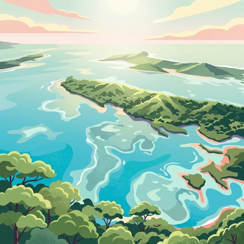
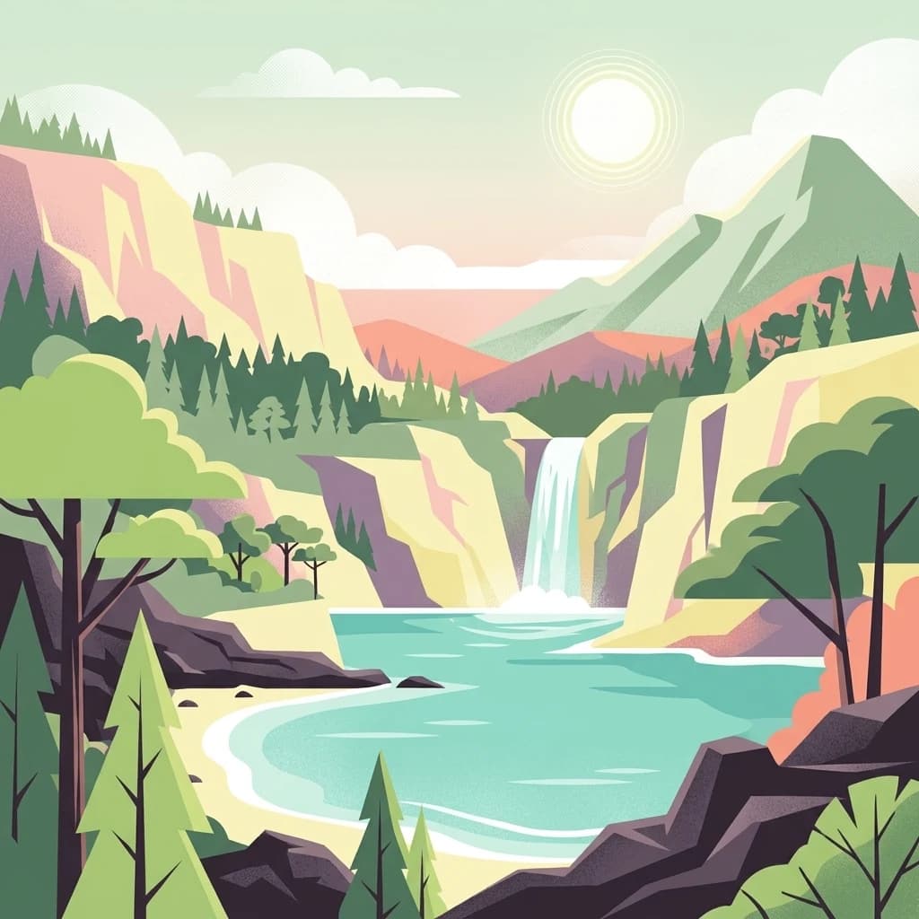
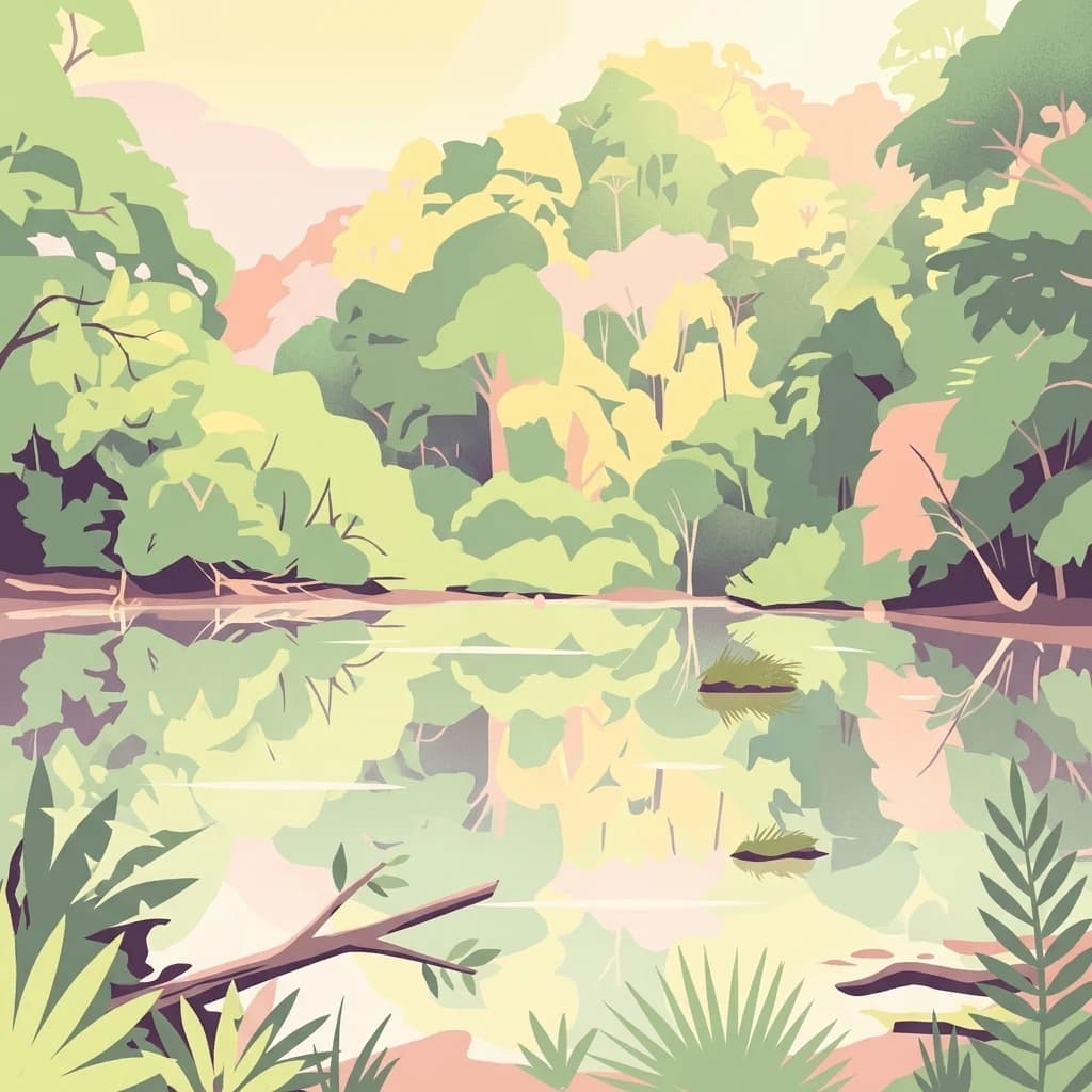
Darién National Park, in Darién Province, Panama. Landscapes: mountains, forests, and wetlands.
- Area
- 5,790 km²
- Established
- 1980
- IUCN
- II
- Relief
- Mountain
Map landscapes and trace the geographic spread of protected areas across Panama's diverse terrain.
Explore maps and profiles of protected areas in Panama, including Darién and Coiba National Park.

Comparing land conservation scale, climate profiles, and historical designations
Known protected area
Area data available for 12 of 15 parks.
Median park size
Median across 12 parks with known area.
Trace Panama's Mapped Geography, Diverse Conservation Landscapes, and Regional Park Spread
Panama is a presidential republic located at the southern end of Central America in North America. It gained independence from Spain in 1821 and from Colombia in 1903, the latter enabling the construction of the Panama Canal under U.S. supervision between 1904 and 1914. The canal was transferred to Panamanian control in 1999 following the Torrijos-Carter Treaties. With a population of approximately 4.3 million and an area of about 75,400 km², Panama has a high-income economy driven primarily by canal tolls, banking, commerce, and tourism.
Panama occupies a strategic geographic position as a narrow land bridge connecting North and South America. The Panama Canal, completed in 1914 and expanded in 2016, is the country's most significant landmark and economic asset, handling a large percentage of global maritime trade. The country has a diverse population dominated by mestizo and indigenous groups, with Spanish as the official language. Panama's tropical landscape includes extensive jungles covering about 40% of its territory, hosting numerous endemic species. The country is a founding member of the United Nations and other major international organizations.
Browse Panama's diverse protected landscapes, tracing its national parks, marine reserves, and unique conservation geography.

Discover its protected landscape and regional geographic context.
Darién National Park, in Darién Province, Panama. Landscapes: mountains, forests, and wetlands.

Extensive marine and tropical island terrain in Veraguas Province
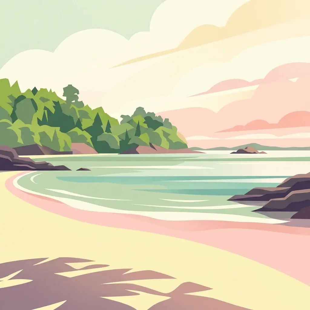
Coiba National Park, in Veraguas Province, Panama. Landscapes: forests, coasts, and beaches.
Discover geographic boundaries and natural terrain context.
Chagres National Park is a crucial protected area situated in Panamá Province, Panama. This page serves as an atlas-style gateway to understanding its specific geographic identity, mapped boundaries, and the surrounding natural terrain. It is designed for users seeking detailed insights into the park's protected landscape and its contribution to regional geography and conservation mapping efforts.

Explore the protected landscape within Bocas del Toro Province.
Isla Bastimentos National Marine Park represents a critical marine protected area offering essential geographic data for atlas-based research. Situated in Panama's Bocas del Toro Province, this entity provides a focal point for understanding protected marine territories and their mapped extent. Discover the park's specific location within the province, contributing to a detailed regional geography and a broader understanding of conservation landscapes.

Explore the mapped boundaries and regional geography of this national park.
Investigate Soberanía National Park, a designated national park situated in Panama's Colón Province. This entry offers detailed geographic context, focusing on its mapped protected area, landscape character, and role within regional conservation. Understand the spatial distribution and atlas significance of this protected land, essential for a structured geographic discovery of Panama's natural heritage.

Discover its mapped boundaries and regional geographic context.
The Gulf of Chiriquí National Marine Park is a crucial marine protected area located in Panama, offering unique insights into coastal and marine geography. This page provides detailed atlas-level information on its protected landscape, mapped extent, and conservation significance, essential for understanding its place within the region's natural geography and protected areas.
Mapped boundaries and regional geography in Panamá Oeste Province.
Gain a structured understanding of Altos de Campana National Park, a designated national park located in Panamá Oeste Province. This page details its identity as a protected landscape, offering insights into its geographic placement and mapped boundaries for comprehensive atlas-style exploration. Understand its regional context and its contribution to Panama's network of protected areas.

Tracing the boundaries of a rare city-based wildlife refuge
Metropolitan Natural Park offers a significant study of urban conservation in Panama, protecting 265 hectares of Pacific tropical dry forest. Situated along the Panama Canal watershed, the terrain provides essential forest connectivity and diverse microhabitats, serving as a critical sanctuary within the dense metropolitan fabric of Panama City.

Mapping the Pacific watershed and urban wildlife corridors
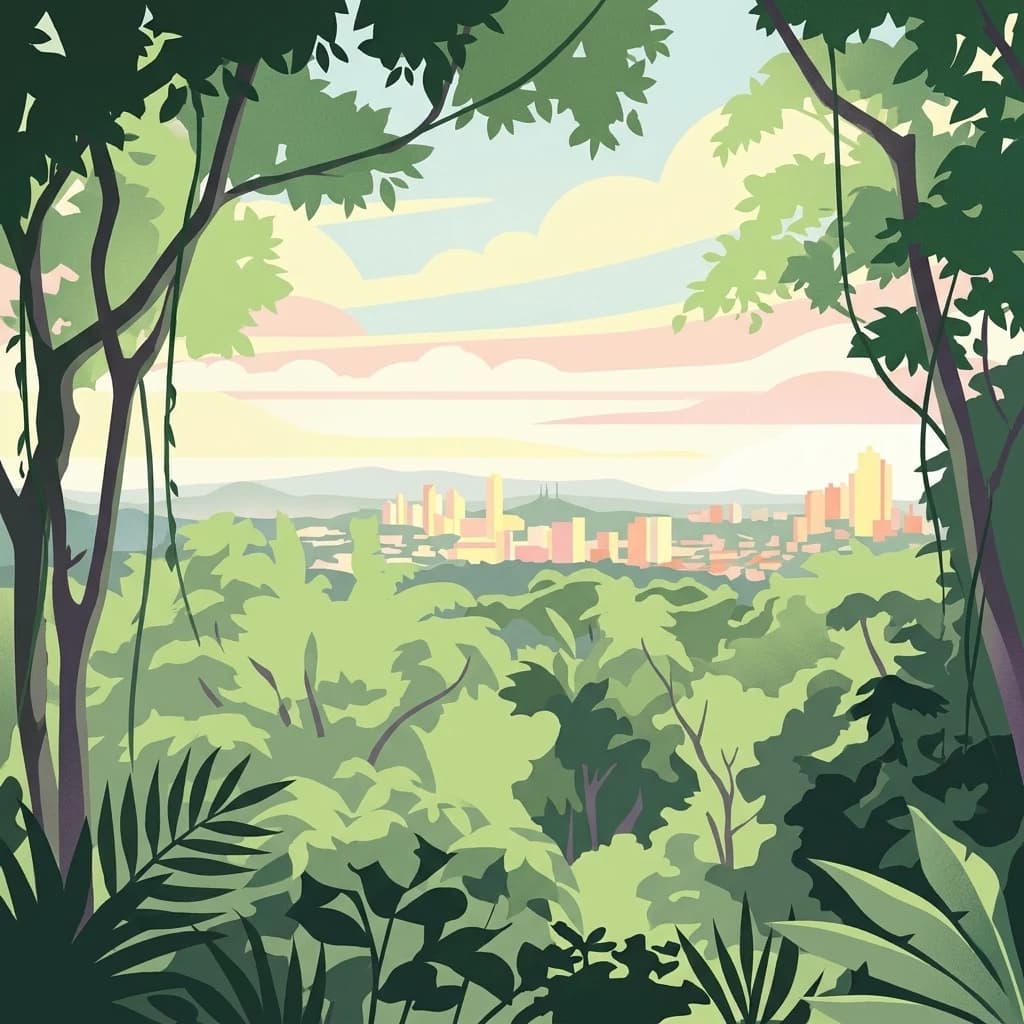
Metropolitan Natural Park stands as a rare wildlife refuge, protecting a dense secondary tropical dry forest ecosystem inside the capital. The park boundary encompasses forested slopes and ridgelines that look out over the Panama Canal, providing a unique intersection of intact biodiversity and urban geography.
Explore the national park's mapped boundaries and regional atlas context.
Cerro Hoya National Park presents a unique opportunity for geographic discovery, focusing on its role as a protected landscape within Panama. This park detail page allows for an in-depth atlas-style exploration of its mapped boundaries and its contribution to the regional geography of Central America. Understand the protected-area identity and the natural context that defines this significant national park, providing valuable data for landscape analysis and map-based research.

Mapping the terrestrial and marine boundaries of a key Panamanian wildlife refuge.
Isla Iguana Wildlife Refuge encompasses a unique blend of tropical dry forest and expansive coral reef systems. Located off the coast of the Los Santos Province, the refuge serves as an important Pacific habitat for nesting sea turtles and migratory whales. This detailed overview covers the island's layered coastal topography, reef structures, and its role as a critical protected area within the marine geography of Panama.
Explore mapped boundaries and regional geographic context.
Sarigua National Park represents a significant protected area within Herrera Province, Panama. This page details its identity as a national park, emphasizing its mapped geography and the regional context it inhabits. Users seeking to understand the specific protected landscape, its boundaries, and its place within the broader atlas of natural areas will find comprehensive discovery-oriented content.
Understand how Panama is shaped by terrain, ecosystems, and seasonal conditions
Panama is located at the southern end of the Central American isthmus, stretching from the Caribbean coast in the north to the Pacific coast in the south. The country shares land borders with Costa Rica to the west and Colombia to the southeast. The terrain consists of coastal plains, mountain ranges including the Cordillera Central and Cordillera de Talamanca, and river valleys. The Panama Canal bisects the country, connecting the Atlantic and Pacific Oceans.
Panama's tropical forests cover approximately 40% of the country's land area and contain exceptional biodiversity. The jungles are home to numerous endemic plant and animal species, some found nowhere else on Earth. The country features various ecosystems including tropical rainforests, mangrove swamps along both coasts, and cloud forests in the highlands.
Panama has a tropical climate with high temperatures year-round and distinct wet and dry seasons. The Pacific coast experiences a dry season from December to April, while the Caribbean side remains wetter throughout the year. Rainfall is heaviest in the tropical forest regions.
Related topics and popular queries
Visualize the distribution of Panama's diverse national parks and protected areas, understanding their spatial context and conservation landscapes.
Uncover geographic insights and the distribution of protected areas across Panama's diverse Central American landscapes.
Beyond Panama, map and compare national park geography, tracing protected areas across Central America.
Parks and protected areas in Ecuador, including Galápagos and Sangay.
Parks and protected areas in Colombia, including Tayrona and Sierra Nevada.
Parks and protected areas in Costa Rica, including La Amistad and Manuel Antonio.
Parks and protected areas in Honduras, including Río Plátano and Pico Bonito.
Parks and protected areas in Nicaragua, including Masaya and Bosawás.
Parks and protected areas in Belize, including Bacalar Chico and El Pilar.
Parks and protected areas in Armenia, including Dilijan and Sevan.
Parks and protected areas in El Salvador, including El Imposible and Montecristo.
Protected area types
Deepen your understanding of Panama's natural landscapes by delving into its specific protected area designations. This route is designed to facilitate structured discovery, allowing you to compare conservation categories and understand their placement within the country's unique geography and atlas context.
Find a park and explore its geography, habitats, and monthly climate.