
Mapping the terrain and diverse landscapes within protected national boundaries
Geographic Collection of Named Natural Features Across Costa Rica National Parks
Analyze the distribution of named natural landmarks and geographic features found throughout the park systems of Costa Rica. This collection links specific landscape types to their regional context, offering a structured approach to mapping how forest, coastal, and interior terrain define the nation's protected areas. Gain insight into the spatial relationship between diverse natural environments and the surrounding territorial geography.
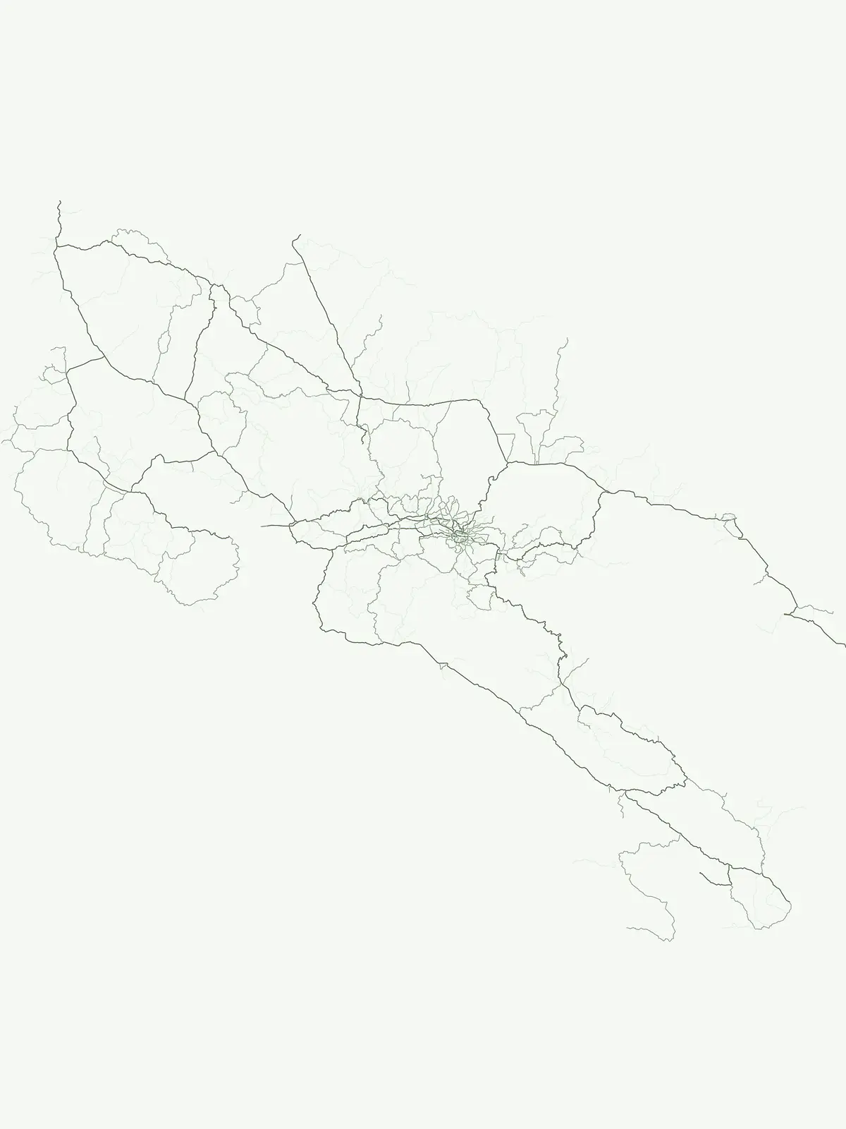
Trace diverse coastal, volcanic, and forest landmarks across national park boundaries
Explore Named Natural Features and Geographic Landmarks within Costa Rica Protected Areas
Mapped volcanic structures across regional park geography
Volcanoes
Examine the distribution and physical characteristics of volcanic centers, including cones and calderas, located within Costa Rica protected lands. This collection offers a precise look at individual volcanic features and their geographical relationship to broader national park terrain, providing a reliable reference for exploring the country's unique volcanic heritage through structured map-based records.
Mapped river channels and fluvial basins within park boundaries
Rivers
This geographic collection focuses on substantial natural watercourses and river systems identified within the protected park network of Costa Rica. It provides a structured view of diverse fluvial landscapes, from mountain-sourced channels to complex deltaic reaches, offering essential context for the hydrography and regional terrain of the national park system.
Geographic analysis of park-associated coastal enclosures
Bays
Examine a categorized selection of bays located within the borders of Costa Rica. This resource provides a focused look at how recessed shoreline features align with protected natural areas, offering essential geographic context for those studying the intersection of marine-adjacent landscapes and national conservation boundaries.
Analysis of standing water within protected landscape boundaries
Lakes
Access a detailed geographic overview of named lakes throughout Costa Rica, specifically focusing on water bodies within protected park landscapes. Review basin origins, hydrological connections, and physical terrain data for each natural basin to better understand the regional water geography.
Examining peninsular geometry within national protected areas
Peninsulas
Explore the distinct peninsular landforms defined by their projection into surrounding waters across Costa Rica. This atlas focuses on the physical geometry of these coastal spurs, examining their relationship to national protected areas and the wider maritime boundaries of the region. Gain insights into the natural terrain and structural patterns that shape the Costa Rican coastline.
Continue Exploring Costa Rica's Protected Park Geography and Natural Landscapes
To deepen your understanding of Costa Rica's conservation efforts, continue browsing this detailed country park list. Examine the mapped boundaries and regional context of each protected area to build a comprehensive geographic picture. This curated atlas view supports detailed exploration of Costa Rica's diverse ecosystems and protected territories, offering valuable insights into national landscape conservation.