
Trace mapped terrain, water bodies, and landscape formations within national park boundaries
Comprehensive Index of Natural Features and Geological Landmarks Across Croatia Protected Areas
This collection presents a structured overview of natural features located within parks and protected regions across Croatia. By focusing on the geographic connection between protected landscapes and terrain types, the platform facilitates the discovery of specific natural formations. Users can navigate between distinct feature categories to understand the diverse topography and ecological geography represented throughout the country.
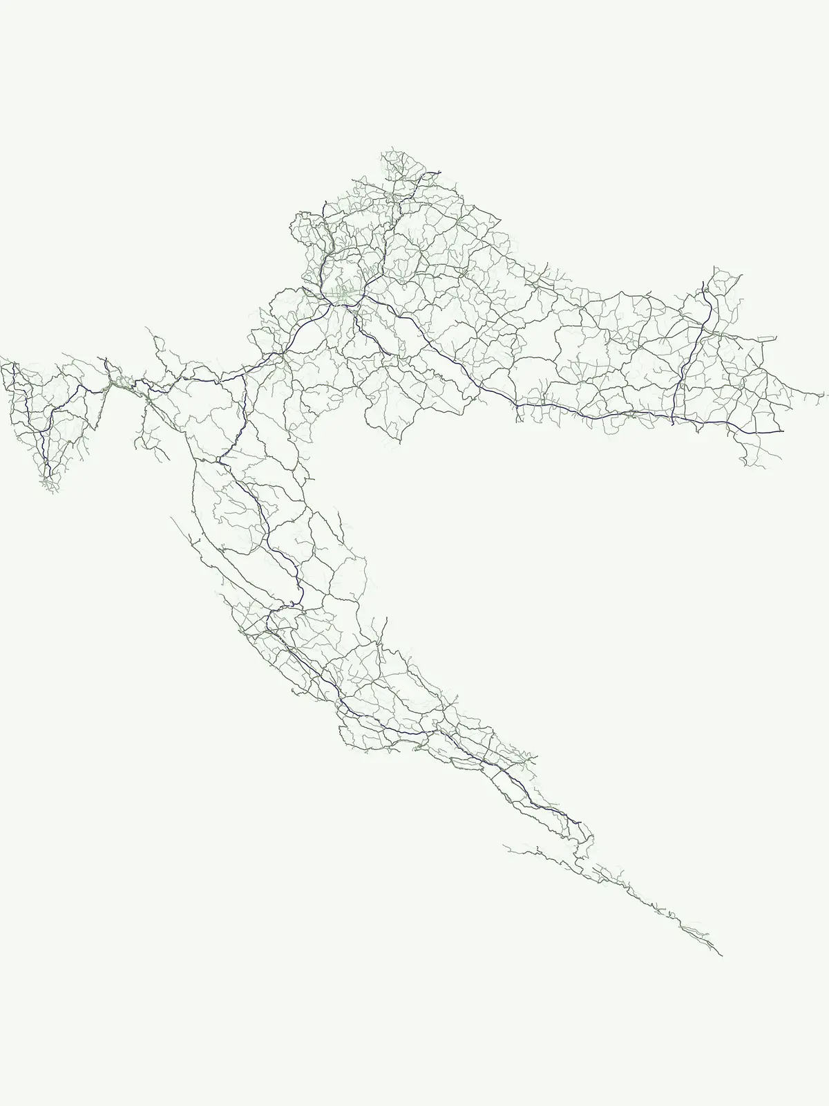
Examine the unique coastal karst, geological formations, and waterways of Croatia's park network
Browse Named Natural Features in Croatia's National Parks and Protected Landscapes
Detailed survey of island terrain within Croatia.
Islands
Examine the geographic distribution and physical structure of islands across Croatia. This collection presents mapped data on individual natural features situated within or near protected areas, enabling a clearer understanding of the terrain and regional landforms that define the country's unique environmental geography.
Mapping recessed water bodies and Adriatic coastal boundaries
Bays
Examine the inventory of bays tied to protected natural landscapes in Croatia. Each entry highlights the specific geometry and shoreline characteristics of these coastal features as they relate to national park geography and broader Adriatic terrain patterns.
Mapped summits across the national parks of Croatia.
Peaks
Discover a curated database of individual peaks and mountain summits situated within the protected natural landscapes of Croatia. Gain insights into the physical elevation, prominence, and mountain range associations of these elevated landforms through structured data and geographic mapping.
Mapping natural channels across the Adriatic coastline
Straits
View mapped straits in Croatia to observe how these narrow waterways connect larger bodies of water between islands and mainland coasts. This focused atlas entry helps users identify specific channels associated with protected landscapes, providing a clear geographic context for the nation's unique maritime and coastal terrain.
Mapped water systems within protected national landscapes
Rivers
Examine the distribution of substantial rivers and natural watercourses integrated into the protected landscape geography of Croatia. This atlas module provides a structured view of river channels, seasonal reaches, and fluvial systems associated with recognized national parks, facilitating a deeper understanding of the country's hydrographic terrain.
Mapped river reaches and vertical descents across Croatia
Waterfalls
Access a structured collection of named waterfall features found throughout the national parks and protected areas of Croatia. Identify specific river incisions, cascades, and vertical drops to better understand the hydrologic variety and geological landscape of this region through focused, mapping-based exploration.
Regional geography of standing water in protected zones
Lakes
Investigate documented lakes located in protected areas across Croatia. This atlas maps the natural basin origins, water sources, and landscape settings of these features, providing a focused view of inland water geography within the country's protected terrain.
Mapping connected ridges and peaks in Croatian parks
Mountain ranges
Navigate the complex mountain range geography integrated into protected landscapes across Croatia. This atlas provides a structured look at the regional highland systems, massifs, and ridges that define the natural boundaries and geologic character of national park environments.
Continue Exploring Croatia's Protected Area Geography and Mapped Landscapes
Deepen your understanding of Croatia's natural atlas by continuing to explore its national parks and protected areas. This country-level list provides the geographic foundation for comparing conservation landscapes, tracing park boundaries, and appreciating the regional diversity of its protected natural terrain.