
Mapping the geographic distribution and environmental diversity of key landscapes and terrain
Comprehensive Atlas of Natural Features Within Dominican Republic Protected Lands and Parks
This collection presents a structured overview of natural features found within the national parks and protected areas of the Dominican Republic. By mapping these landmarks against regional geography, users can trace the connection between protected status and environmental terrain. The platform highlights individual feature types to illustrate the varied topography and natural character defining the landscape context across the island nation.
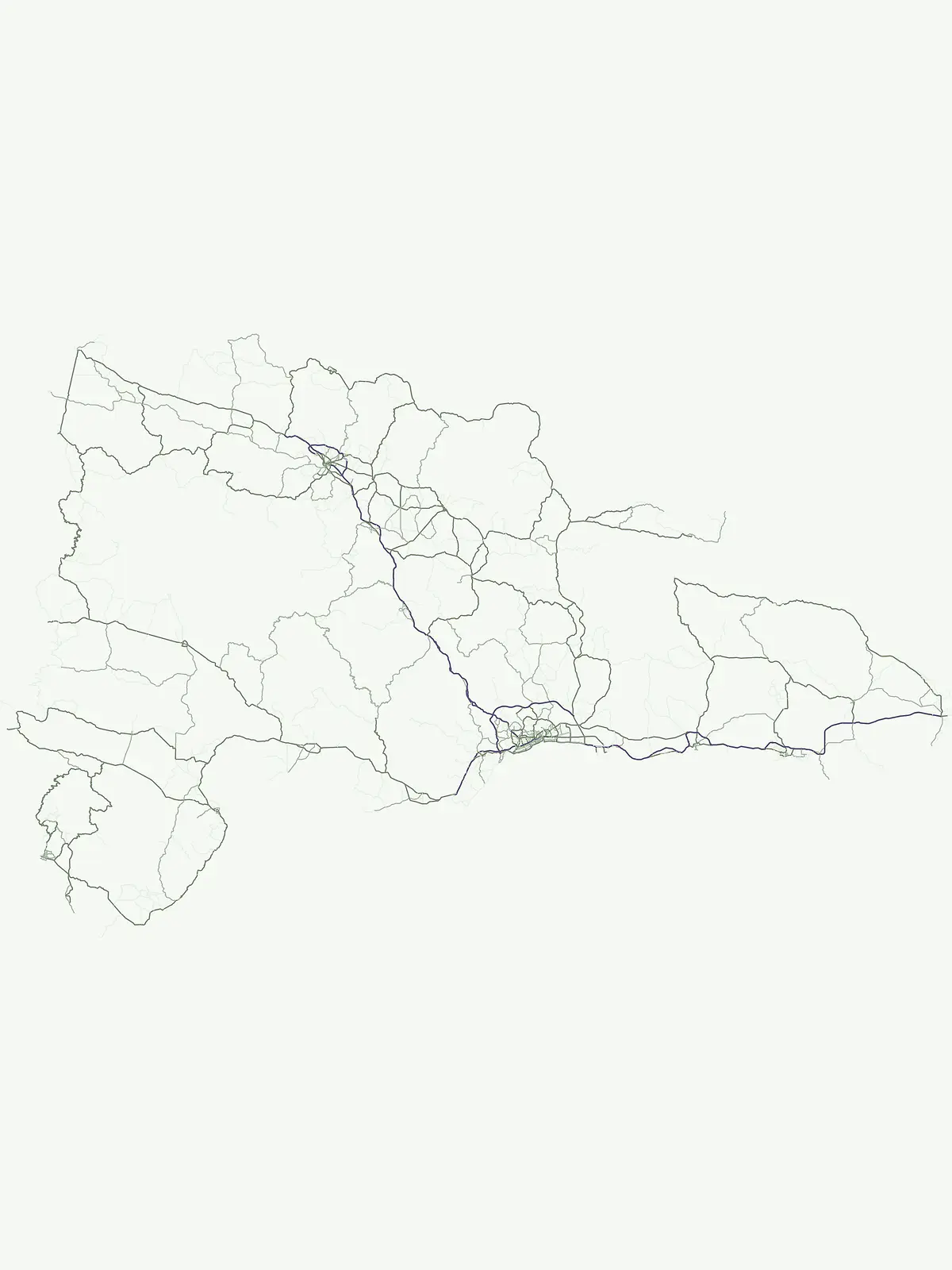
Trace prominent landforms, coastal markers, and terrain features across the Hispaniola park system.
Exploring Named Natural Features within Dominican Republic Protected Areas
Regional island distribution and shoreline atlas
Islands
Navigate the diverse island features associated with the national parks and protected landscapes of the Dominican Republic. This atlas provides a focused look at discrete landforms, their surrounding water bodies, and their roles within the broader physical geography of the nation.
Geographic summit data for protected island landscapes
Peaks
Trace the distribution of named mountain summits across the Dominican Republic. This atlas module provides a structured look at peaks and elevated landforms located within the borders of national parks, offering a clear connection between topographic identity and regional park geography.
Mapping rivers across national protected landscapes
Rivers
Examine the distribution of named rivers throughout the Dominican Republic. This atlas documents substantial natural watercourses, highlighting how these features connect to park boundaries and influence the surrounding topography in this island nation.
Continue Exploring Dominican Republic's Protected Area Geography
Delve deeper into the mapped boundaries and regional context of natural landscapes within the Dominican Republic. Understanding the full extent of its protected areas offers valuable insights for geographic study and atlas exploration, revealing the patterns of conservation across this Caribbean nation. Continue your discovery to map the distribution and comparative geography of its protected territories.