Browse represented designation categories and discover protected natural landscapes across El Salvador's geography.
MoriAtlas provides a structured view of El Salvador's protected natural areas by exploring its represented designation groups. Understand how classifications like National Parks organize the nation's conservation lands, offering a clear pathway to discover individual park boundaries and their geographic context within this Central American republic.
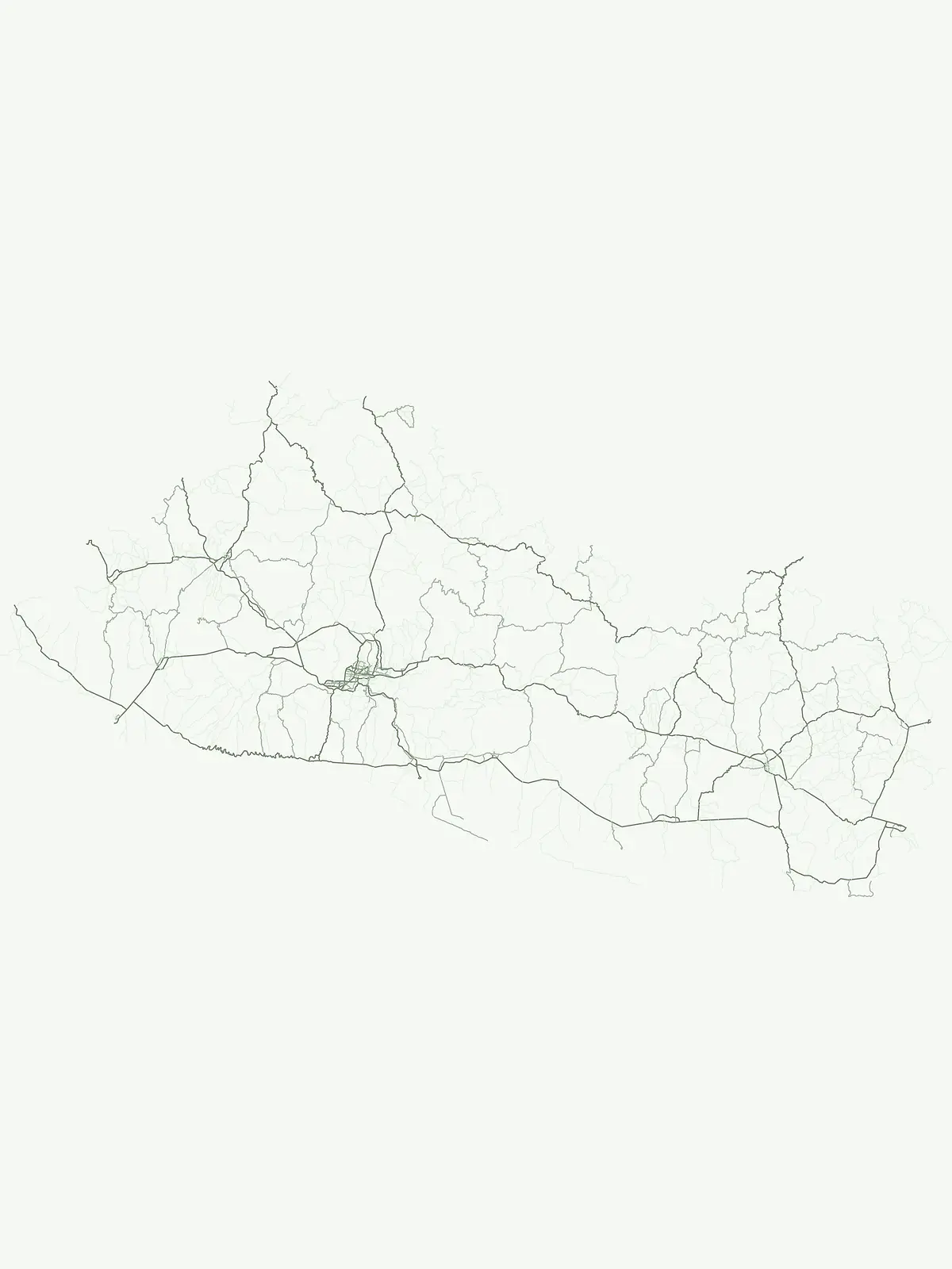
Uncover El Salvador's protected-area structure and geographic spread of key conservation landscapes.
Explore the official park designations and protected area types currently active across El Salvador, including its national parks and other vital conservation zones. This structured view helps you trace the country's unique protected geography, revealing the distribution of its significant volcanic terrain and Pacific coast natural areas.
El Salvador's represented protected area system is notably concentrated around its National Park designation, which forms the central pillar of its conservation strategy. This focus highlights the country's approach to safeguarding its unique volcanic terrain and Pacific coastal ecosystems through clearly defined national preserves.
Discover El Salvador's nationally recognized park geography.
Delve into the national park designation within El Salvador, uncovering the country's protected landscapes. This atlas view highlights the geographic distribution and mapped boundaries of these significant areas, providing essential context for understanding El Salvador's conservation identity and natural terrain.
Deepen your understanding of El Salvador's natural geography by delving into its extensive collection of national parks and protected areas. This structured browse allows for detailed examination of mapped park boundaries and the country's varied landscapes, serving as a precise atlas for conservation-focused geographic discovery.