Mori Atlas logo
Countries

Browse mapped protected landscapes and volcanic terrain across El Salvador's diverse geography.

El Salvador National Parks and Protected Areas: A Geographic Atlas Explorer

Delve into the structured geography of El Salvador's national parks and protected areas. This atlas-style explorer reveals the distribution and mapped boundaries of natural landscapes, from its volcanic regions to its Pacific coastline. Understand the regional context and discover the breadth of protected lands within this Central American country.

Related tags

central american countrypacific coastvolcanic regionpresidential republicspanish-speaking
About

Map El Salvador's diverse protected landscapes, from Pacific coast to mountain ranges and volcanic regions

Explore National Parks and Protected Areas in El Salvador, Tracing its Central American Volcanic Landscapes
Browse the national parks and key protected areas of El Salvador, covering its unique Central American geography with volcanic terrain and Pacific coastal ecosystems. Discover mapped conservation landscapes, tracing the country's diverse natural features and their regional distribution across this vital Central American landmass.

El Salvador is a presidential republic in Central America. It gained independence from Spain in 1821 and has since experienced periods of political instability, including a civil war from 1979 to 1992. The country uses the US dollar as its currency and is known for its Pacific coastline and volcanic terrain.

Currency code:USD
ISO code:SV
Parks count
4
Capital
San Salvador
Area
21,041 km²
Population
6,029,976 (2,024)
Elevation
1,323 m

Coastal
Island
Mountainous
Landlocked
Park atlas4 parks

Trace the diverse volcanic landscapes and Pacific coast conservation areas across El Salvador's regional spread.

Explore National Parks and Protected Areas in El Salvador: A Central American Geography Atlas
Browse national parks and designated protected areas across El Salvador, encompassing significant tropical forests, volcanic regions, and crucial wildlife habitats. This country-level atlas provides a structured view of conservation landscapes, mapping their geographic distribution and key ecological features for deeper discovery.
National parkEl Salvador

Los Volcanes National Park: Exploring El Salvador's Volcanic Terrain and National Park Boundaries

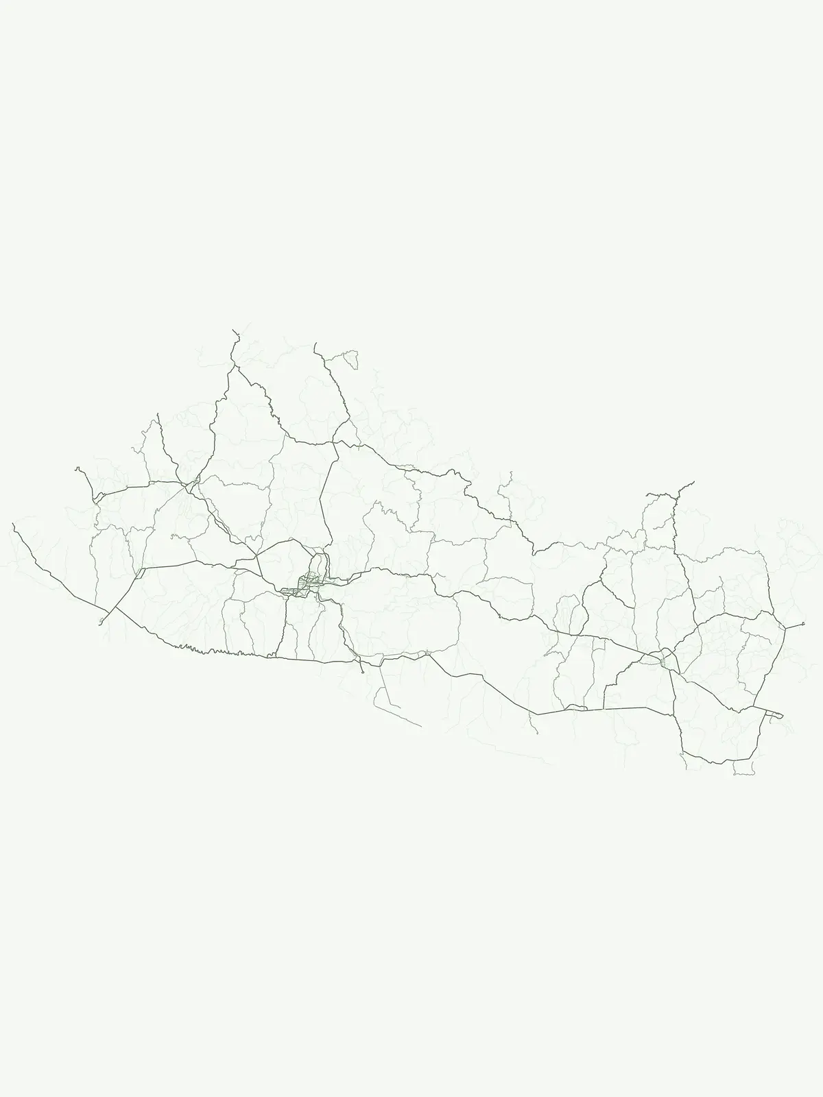
Mapped protected lands and regional geography.

Los Volcanes National Park is a protected natural area situated within El Salvador's geographically rich landscape, known for its volcanic terrain. This page provides an atlas-focused view of the park, highlighting its mapped boundaries and its context within the Central American region. Engage with structured geographic data to understand the protected land and its surrounding terrain.

IUCN
II
Relief
Mountain
Scope
Terrestrial
Water
Minor water
National parkAhuachapán Department

El Imposible National Park: National Park Protected Landscape and Regional Geography Exploration

Atlas context and mapped boundaries for El Imposible National Park.

Delve into the protected landscape of El Imposible National Park, a key national park located within Ahuachapán Department, El Salvador. This resource provides detailed information on its geographic setting, mapped park boundaries, and its role within the regional natural context. Understand the essence of this protected natural area through structured atlas data, offering a unique lens for exploring its conservation significance and landscape features.

Area
38.2 km²
Established
1989
IUCN
II
National parkEl Salvador

Montecristo National Park: El Salvador's Protected Landscape and Geographic Identity

Explore its mapped boundaries and regional terrain.

Montecristo National Park is a vital protected area that anchors a specific geographic identity within El Salvador. This MoriAtlas entry provides an atlas-driven view of the park, highlighting its mapped boundaries and the characteristics of its natural terrain. Understanding Montecristo National Park's protected status offers insight into the region's geography and its place within Central America's broader landscape.

Area
19.73 km²
Established
2008
IUCN
II
Relief
Mixed relief
National parkEl Salvador

El Boquerón National Park: National Park Atlas, Mapped Boundaries, and Regional Geography

Explore El Salvador's protected volcanic terrain and landscape.

Delve into the protected landscape of El Boquerón National Park, a significant national park in El Salvador. This resource provides detailed map context, focusing on the park's geographic boundaries and its position within the country's volcanic region. Understand the atlas-driven discovery value and unique regional setting of this protected area.

Area
2.05 km²
Established
2008
IUCN
II
Relief
Mountain
Landscape and environment

Understand how El Salvador is shaped by terrain, ecosystems, and seasonal conditions

El Salvador geography, nature, climate, and landscape context for park-focused travel research
Explore the physical geography, natural setting, and climate patterns of El Salvador through a location-first overview built for travel research, national park discovery, and broader regional context. This section helps explain how landscapes, habitats, and environmental conditions shape what people search for, where they travel, and how they experience protected areas in El Salvador.

El Salvador geography and landscape

El Salvador is located in Central America, bordered by Honduras to the northeast, Guatemala to the northwest, and the Pacific Ocean to the south. The country sits along the Pacific Ring of Fire and has volcanic terrain.

El Salvador nature and environment

El Salvador features volcanic landscapes along its Pacific coast, with several volcanoes and natural areas. The coastal regions provide important marine ecosystems.

El Salvador climate and seasonal conditions

El Salvador has a tropical climate with a wet season from May to October and a dry season from November to April. Coastal areas tend to be warmer than inland mountainous regions.

Explore this place

Related topics and popular queries

Ways to explore El Salvador
Useful phrases, related topics, and discovery prompts connected to El Salvador.
where is el salvadorel salvador country informationsan salvador capitalel salvador population areael salvador central america geographyel salvador countrycentral america el salvadorel salvador geographypacific coast central americavolcanic country el salvador
Park map

Geographic Atlas of El Salvador's Protected Areas, Mapping Coastal and Volcanic Park Distribution

El Salvador National Parks Map: Trace Protected Areas and Volcanic Landscapes
Browse the mapped locations of El Salvador's national parks and protected areas, from the Pacific coast to its volcanic interior. This country map preview offers an initial understanding of park distribution, inviting deeper geographic exploration of El Salvador's unique conservation landscapes and their regional context.

Exploring El Salvador's Protected Landscapes, Mapped Park Geography, and Regional Distribution

Common Questions About National Parks in El Salvador: Discovering Protected Areas and Unique Geography
Uncover essential information about El Salvador's national parks and diverse protected areas, including key facts about its Pacific coast and volcanic landscapes. Gain a deeper understanding of the country's conservation efforts, park geography, and the unique ecosystems found across its territories.
Other countries

Trace the geographic spread of national parks and protected areas across Central America, offering broader atlas context beyond El Salvador.

Explore National Parks and Protected Areas in Countries Neighboring El Salvador
Explore national parks and protected areas in other Central American countries, extending your geographic discovery beyond El Salvador's volcanic terrain and Pacific coastline. This broader country-level park atlas helps compare the regional distribution of protected landscapes and diverse conservation efforts across neighboring territories.

Costa Rica National Parks and Protected Areas: A Geographic Atlas

Access a structured atlas for exploring Costa Rica's national parks and protected natural areas. This platform offers detailed insights into the geographic scope of conservation efforts, highlighting park boundaries, regional terrain, and the distribution of diverse natural landscapes across the country. It serves as a vital tool for understanding the mapped protected geography of Central America.

32 parks

Honduras National Parks and Protected Areas: Geographic Atlas and Mapped Landscapes

Navigate the atlas of Honduras's national parks and protected areas, gaining insights into their geographic spread and conservation significance. This resource highlights the distribution of protected landscapes across the country, offering a clear view of Honduras's natural terrain and facilitating systematic discovery of its diverse natural features. Understand the scope of protected areas and their placement within the broader Honduran geography.

17 parks

Guatemala National Parks and Protected Areas: Mapped Geographic Distribution

Delve into the structured geography of Guatemala's protected natural areas. This atlas provides a framework to explore the mapped extent and regional distribution of national parks and reserves. Understand how Guatemala's diverse landscapes, from volcanic highlands to coastal regions, are represented within its conservation network, offering a unique geographic perspective.

3 parks

Belize

2 parks

Cuba's National Parks and Protected Areas: Mapped Landscape Explorer

Access a structured view of Cuba's national parks and protected areas, designed for geographic discovery and atlas-style navigation. Understand the spread of conservation landscapes across the island nation, tracing park boundaries and appreciating the regional context of its natural terrain. This resource facilitates a deeper insight into the geographic composition of protected areas within Cuba, beyond simple lists.

1 park
MoriAtlas Explorer

Continue Your Global Geographic Exploration with MoriAtlas Park Discovery

Dive deeper into the world's protected landscapes and national parks through MoriAtlas's structured atlas interface. Discover how continents and countries are organized, and how individual park geography fits into the broader map. Our platform is built for understanding the distribution and context of protected areas worldwide, facilitating your journey through global natural geography.

Global natural geography