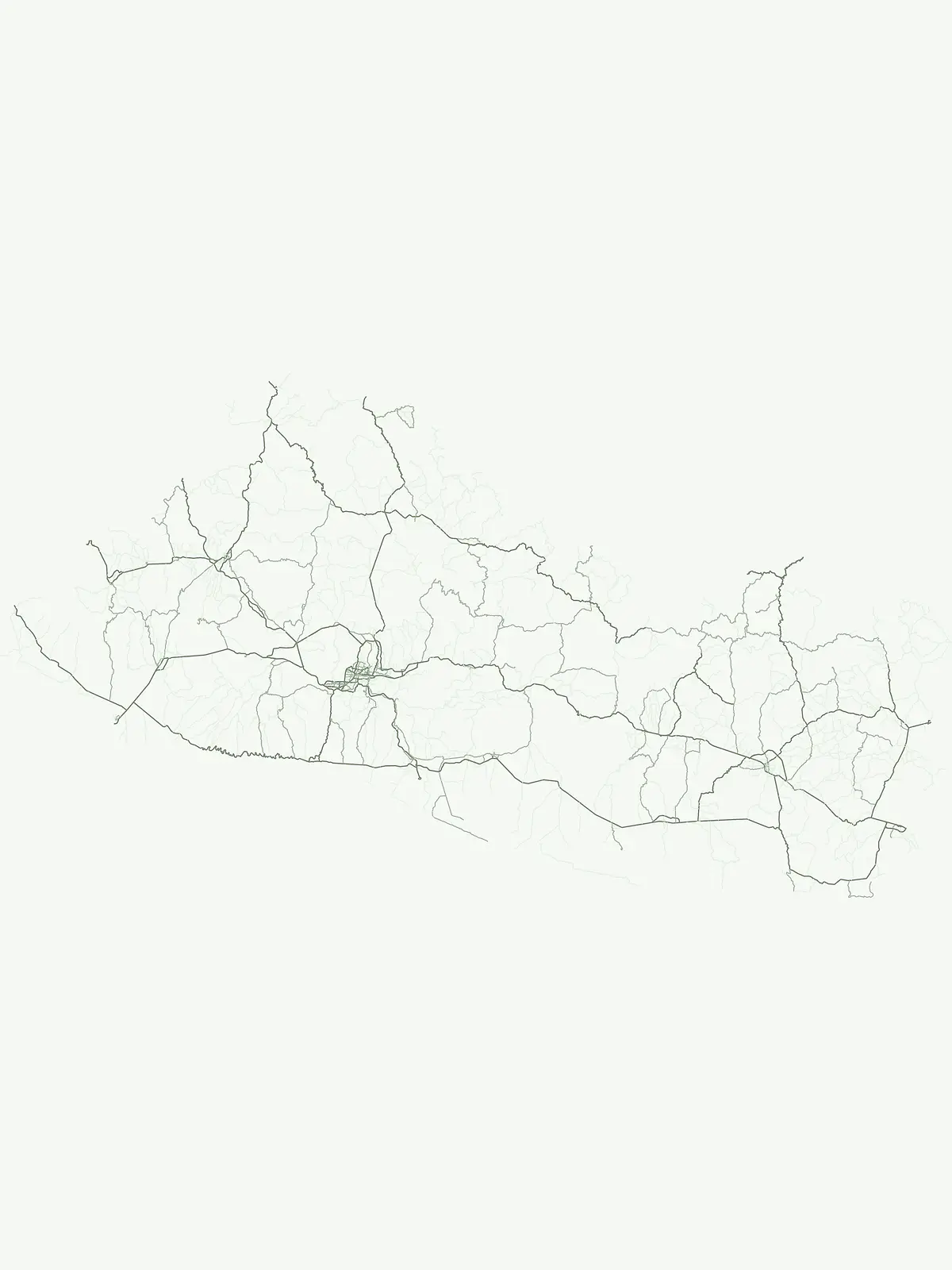
Discover the mapped distribution and landscape context of El Salvador's nationally recognized parks.
National Parks in El Salvador: A Protected Areas Atlas and Geographic Overview
This page serves as the primary index for El Salvador's national parks, representing a significant designation for protected areas within the country. Explore the geographic scope and mapped boundaries of these important landscapes, offering a clear atlas view of their distribution and regional context.
Explore the Regional Spread and Conservation Significance of El Salvador's Key National Park Geography
National Parks in El Salvador: Discover Central America's Protected Volcanic Landscapes
Browse a comprehensive list of National Parks in El Salvador, showcasing the country's diverse protected areas, including volcanic craters, cloud forests, and Pacific coast environments. This focused overview provides essential geographic context and highlights the nation's commitment to conserving its unique Central American landscapes and biodiversity through flagship park designations.
National Parks in El Salvador: Browse Protected Areas and Geography
Browse the official National parks of El Salvador, identifying significant protected areas like Montecristo National Park and El Boquerón National Park. This focused park list provides an invaluable comparative view of their geographic spread, conservation scope, and unique contributions to the country's overall protected landscape network.
National parkAhuachapán DepartmentMountain
El Imposible National Park
Atlas context and mapped boundaries for El Imposible National Park.
Delve into the protected landscape of El Imposible National Park, a key national park located within Ahuachapán Department, El Salvador. This resource provides detailed information on its geographic setting, mapped park boundaries, and its role within the regional natural context. Understand the essence of this protected natural area through structured atlas data, offering a unique lens for exploring its conservation significance and landscape features.
Explore its mapped boundaries and regional terrain.
Montecristo National Park is a vital protected area that anchors a specific geographic identity within El Salvador. This MoriAtlas entry provides an atlas-driven view of the park, highlighting its mapped boundaries and the characteristics of its natural terrain. Understanding Montecristo National Park's protected status offers insight into the region's geography and its place within Central America's broader landscape.
Los Volcanes National Park is a protected natural area situated within El Salvador's geographically rich landscape, known for its volcanic terrain. This page provides an atlas-focused view of the park, highlighting its mapped boundaries and its context within the Central American region. Engage with structured geographic data to understand the protected land and its surrounding terrain.
Explore El Salvador's protected volcanic terrain and landscape.
Delve into the protected landscape of El Boquerón National Park, a significant national park in El Salvador. This resource provides detailed map context, focusing on the park's geographic boundaries and its position within the country's volcanic region. Understand the atlas-driven discovery value and unique regional setting of this protected area.