
Explore diverse terrain types and environmental formations across national park territories
Natural Features and Geographic Landscapes within Protected Areas of Gabon
This collection maps the named natural features associated with protected areas in Gabon. By analyzing the intersection of national park boundaries and physical geography, users can examine varied landscape types ranging from coastal stretches to forest environments. Each entry provides context on how these natural features are distributed within the regional landscape of Gabon, facilitating a structured understanding of protected land geography.
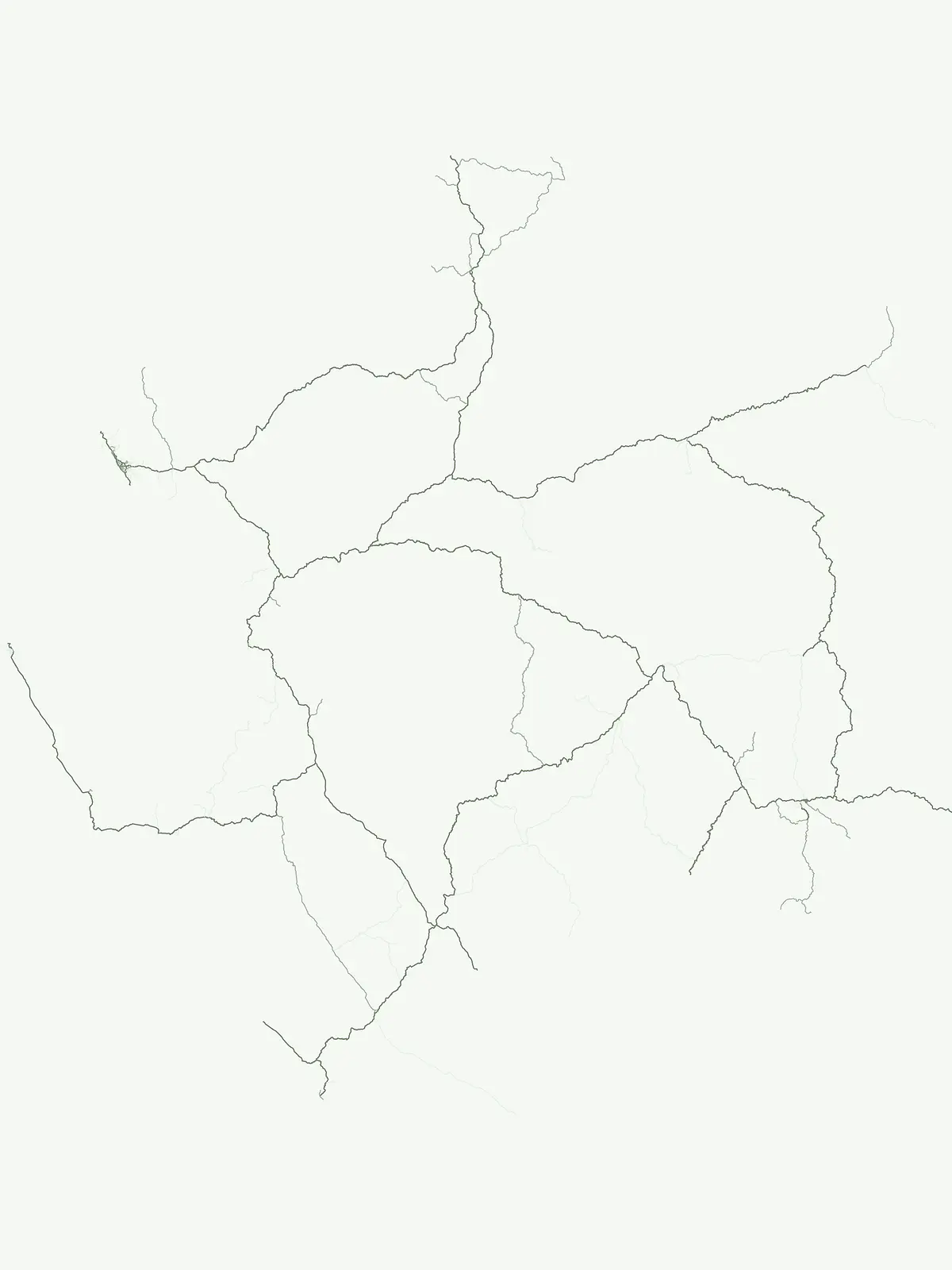
Trace equatorial waterways and distinctive geological formations inside Gabon's park network
Browse Named Natural Features and Landmarks in Gabon Protected Landscapes
Exploration of fluvial systems in Gabon protected areas.
Rivers
Investigate the physical geography of rivers throughout Gabon. This resource offers a focused look at natural watercourses, their defined channels, and their presence within protected landscapes. Gain geographic insight into how these river systems interact with regional terrain, floodplains, and environmental basins across the national protected area network.
Mapping extended highland terrain and geological connectivity
Mountain ranges
Access a structured overview of mountain range systems situated across Gabon. This collection highlights the geological structure and regional orientation of connected peaks and ridges, providing a clear geographic understanding of how these highland areas relate to the broader national landscape and associated protected territories.
Gabon: park list
Open the park list for Gabon to explore locations and park characteristics.