
Browse represented park classification types within Ghana's geography and move into detailed designation insights.
Ghana's Protected Area Designations: Navigating National Parks and Landscape Categories
MoriAtlas presents a focused exploration of Ghana's protected-area landscape through its significant park designation categories. Understand how National Parks and other classification types are mapped across Ghana, providing essential context for its natural geography. This route helps you navigate the specific designation families present in the country, leading to detailed insights about each category's mapped boundaries and regional distribution.
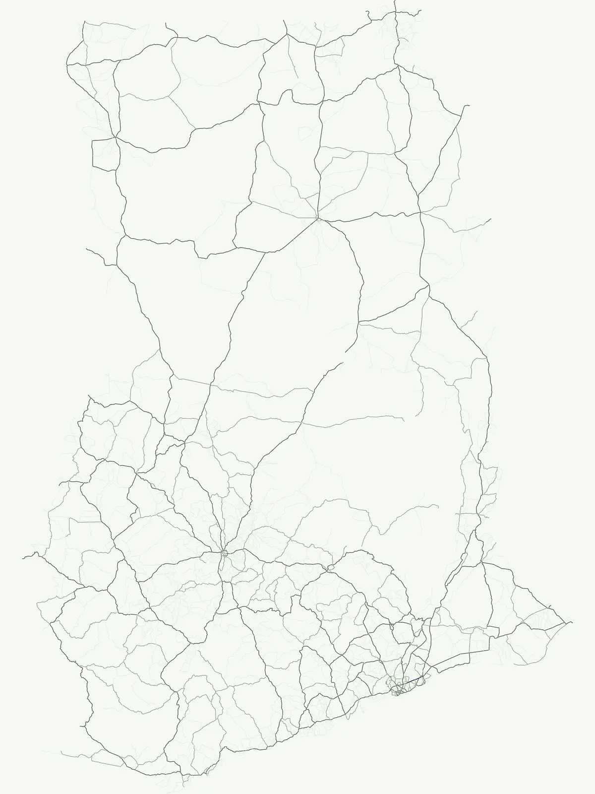
Understand the geographic spread and protected area structure of Ghana's national park system.
Explore Ghana's National Park Designations and Comprehensive Protected Area Types
Explore the diverse array of park designations in Ghana, including its eight national parks, to understand how protected areas are officially structured across this West African nation. This designation-led approach provides valuable geographic context for tracing conservation landscapes and comparing the varying protection frameworks that define Ghana's natural heritage.
- Represented designations
- 5
- Mapped parks
- 21
Leading designation
Wildlife reserve
Exploring Ghana's National Park Designations and Protected Area System
Explore Ghana's prominent national parks, which form the bedrock of its protected area system, spanning diverse ecosystems from coastal regions to inland forests. Understand how these nationally recognized designations contribute to safeguarding critical habitats and represent the primary conservation framework across Ghana's varied landscapes.
Examining Nine Key Wildlife Protected Areas
Wildlife reserve
Investigate the spatial distribution of wildlife reserves throughout Ghana. These protected lands prioritize habitat maintenance and the stewardship of wild populations, forming an integral part of the nation's broader ecological geography and mapped conservation zones.
Explore the mapped distribution of national parks across Ghana.
National park
This dedicated atlas entry provides an in-depth view of Ghana's national parks, serving as a central point for understanding their geographic placement and importance. It details the unique landscape context and mapped boundaries of each protected area, facilitating a structured discovery of the nation's significant conservation sites and their contribution to regional geography.
Mapped conservation reserves and biodiversity hotspots
Nature reserve
Explore the nature reserve network established across Ghana to safeguard key habitats and sensitive natural features. This overview provides a structured way to identify and understand the role of these protected areas in the broader regional landscape, focusing on their specific environmental contribution to the country.
Mapping Ghana conservation and protected geography
Protected area
Access a detailed collection of protected areas in Ghana that preserve significant landscapes and natural sites. This resource functions as a regional atlas, helping users identify conservation boundaries and understand the geographic distribution of protected terrain throughout the country.
Geography of landscape-scale conservation in Ghana
Protected landscape
Access the geographical record of protected landscapes in Ghana. These sites emphasize scenic character and land stewardship, forming a unique part of the national conservation fabric that links natural features with established regional territories.
Continue Exploring Protected Landscapes Across Ghana's Geography
Deepen your understanding of Ghana's natural heritage by continuing to explore its national parks and protected areas. This country-level browse view offers essential geographic context and mapped details to support your atlas discovery, providing a clear pathway into the specific park details and their unique landscape characteristics across the Republic of Ghana.